말로노에서 가장 멋진 20개의 천연기념물
천연기념물을 방문하여 말로노의 아름다운 풍경을 만나보세요. 말로노에 있는 20
개의 천연기념물과 상세 정보를 살펴본 후에 방문하고 싶은 천연기념물을 다음 모험 계획에 추가해보세요!
마지막 업데이트: 10월 14, 2026


오늘 무료 계정으로 시작하세요
다음 모험이 기다리고 있어요.




커뮤니티 팁


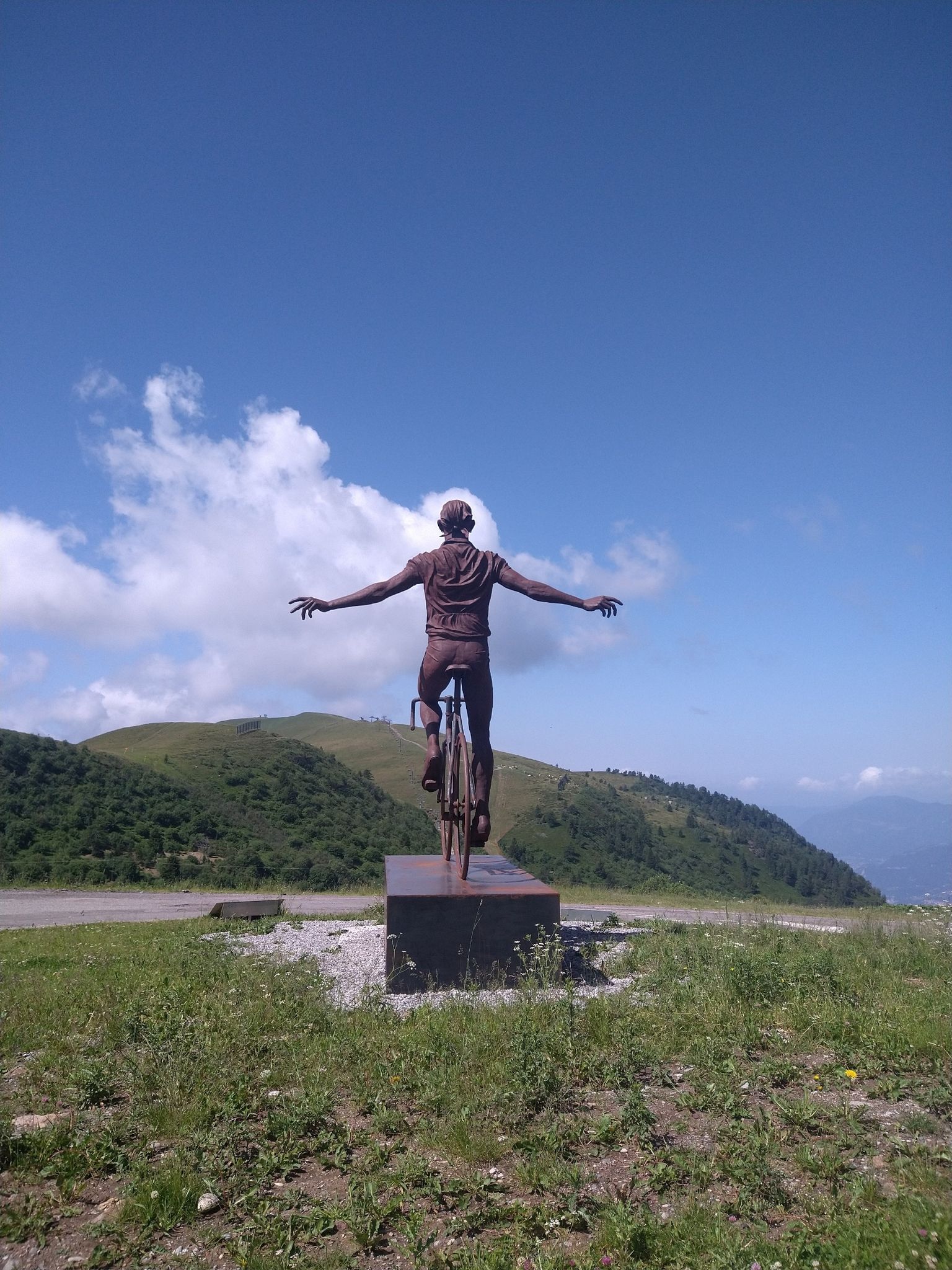
Mount Campioncino (2,102 m) is a panoramic peak in the Bergamo Prealps, located between the Scalve Valley (Bergamo) and the Camonica Valley (Brescia). It is a popular hiking destination for its spectacular views and relative ease of access. 🏔️ Key information Altitude: 2,102 m Starting point: Fondi di Schilpario (BG) or Passo dei Campelli Elevation gain: approximately 850–890 m Difficulty: hiking (E), with easy sections (F) on an unmarked trail Type of route: circular or round trip Duration: 4.5–6 hours total, depending on the route 🌄 View from the summit From the summit, you can enjoy a breathtaking view of: Presolana Cimon della Bagozza Monte Campione Concarena The valleys below: Val di Scalve and Val Camonica 🥾 Recommended itinerary Starting point: Fondi di Schilpario (1,249 m) Route: climb to Passo dei Campelli Monte Campioncino is considered a true balcony overlooking Val Camonica, with a view that it extends as far as Mount Adamello on clear days
0
0
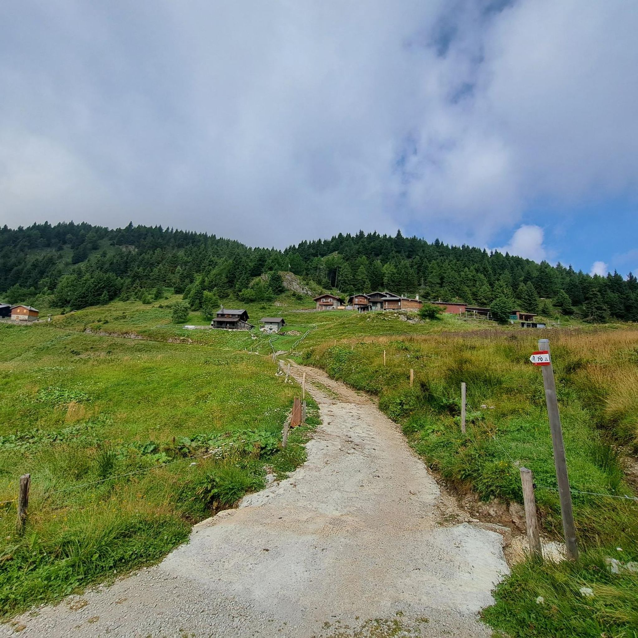
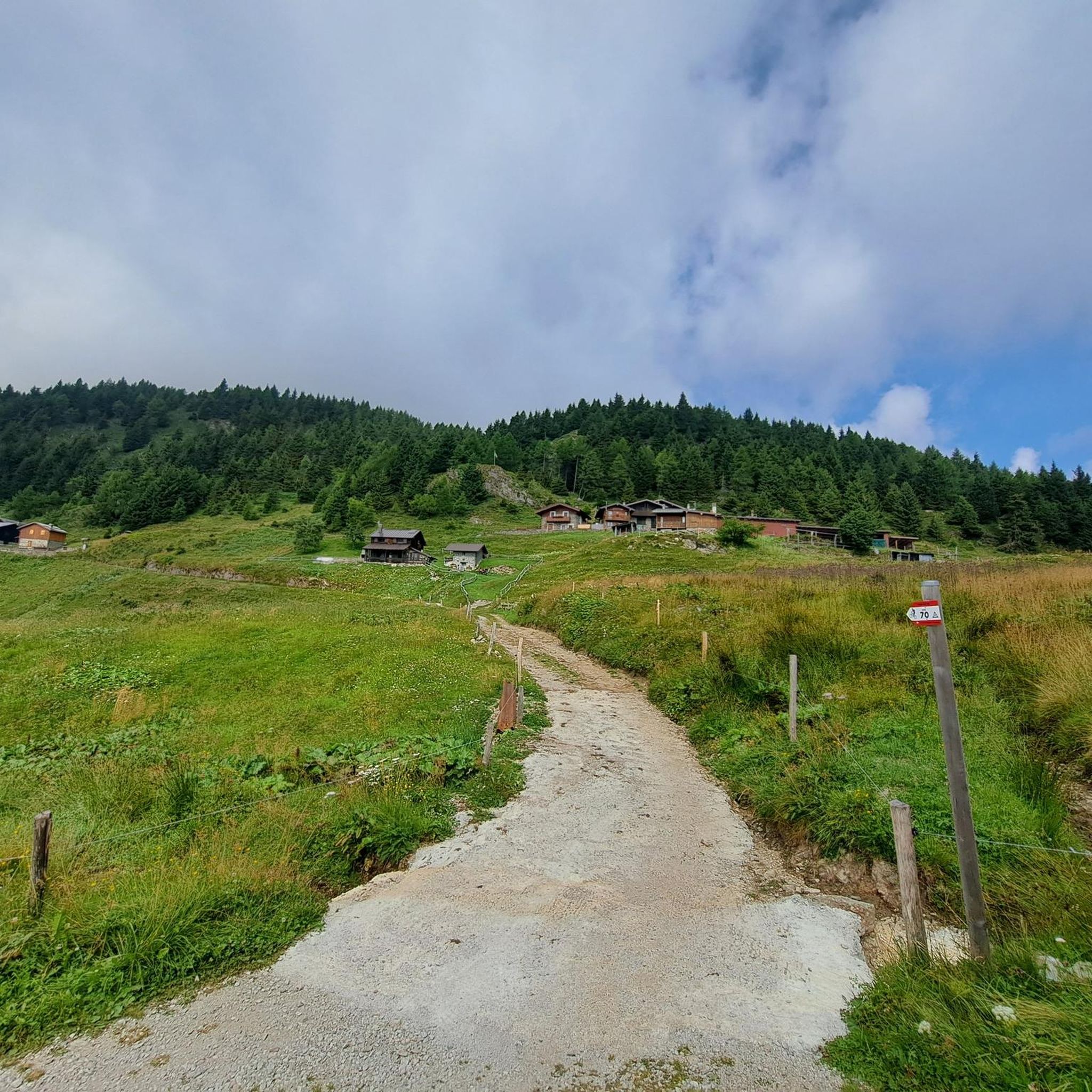
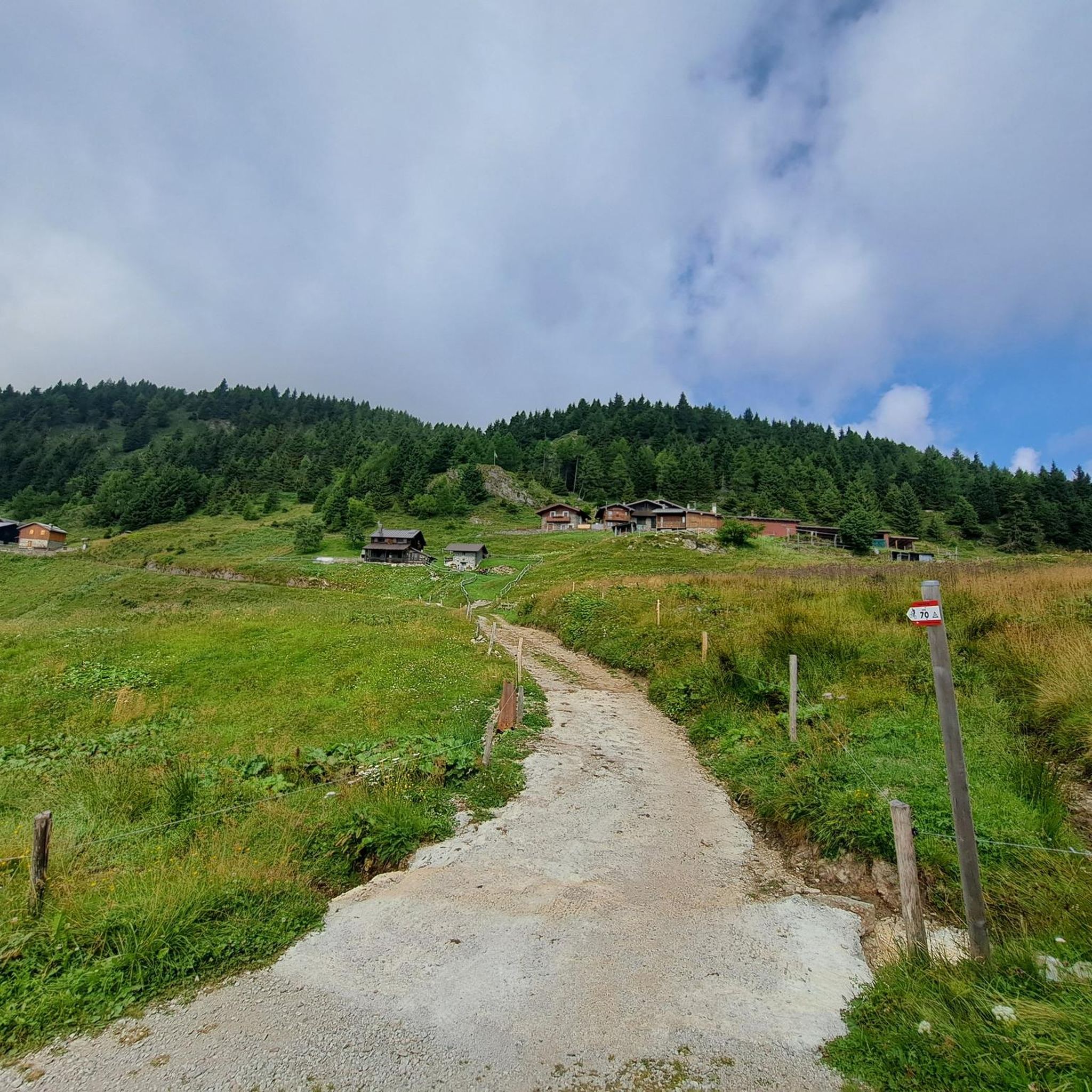
The Conca dei Campelli is a splendid alpine area located in the Scalve Valley, in the province of Bergamo, bordering the Camonica Valley. It is a true natural jewel, perfect for hiking, snowshoeing, and relaxing days immersed in nature. 🏞️ Characteristics of the Conca dei Campelli Altitude: approximately 1,800–1,900 m Main access: from Schilpario, following the signs for the Vivione Pass and then the Campelli Pass View: surrounded by the Piccole Dolomiti Scalvine, with views of Cimon della Bagozza Points of interest: Rifugio Campione: excellent refreshment point and base for hikes Laghetto dei Campelli: small alpine lake, ideal for a break Madonnina dei Campelli: panoramic and spiritual point 🌿 Recommended activities Summer hiking: trails also suitable for families and children Winter snowshoeing: breathtaking snow-covered landscapes, ideal for snow lovers
0
0
The Campelli Pass is an Alpine pass at approximately 1,892 meters above sea level that connects the Scalve Valley (province of Bergamo) with the Camonica Valley (province of Brescia). It is a popular hiking destination for its scenic beauty and the variety of available itineraries. 🏔️ Main Features Location: Between Schilpario (BG) and Cerveno (BS) Elevation: approximately 1,892 m View: Spectacular view of Cimon della Bagozza and the Piccole Dolomiti Scalvine Access: From Schilpario – Fondi: winter route for snowshoeing or ski mountaineering From Schilpario – Baracca Rossa: shorter and more scenic summer route From Ono San Pietro (BS): longer and more challenging route 🚶♂️ Recommended Activities Summer Hiking: Well-marked trails, also suitable for families Winter Snowshoeing: Safe and picturesque itineraries in the snow Mountain Biking: Technical and scenic routes, with stops at the Campione Refuge and Campelli Lake 📍 Nearby Points of Interest Campione Refuge: Not far from the pass, offers refreshments and overnight accommodations Campelli Lake Campelli: a small Alpine lake, ideal for a break Madonnina dei Campelli: a panoramic and spiritual point along the route
0
0


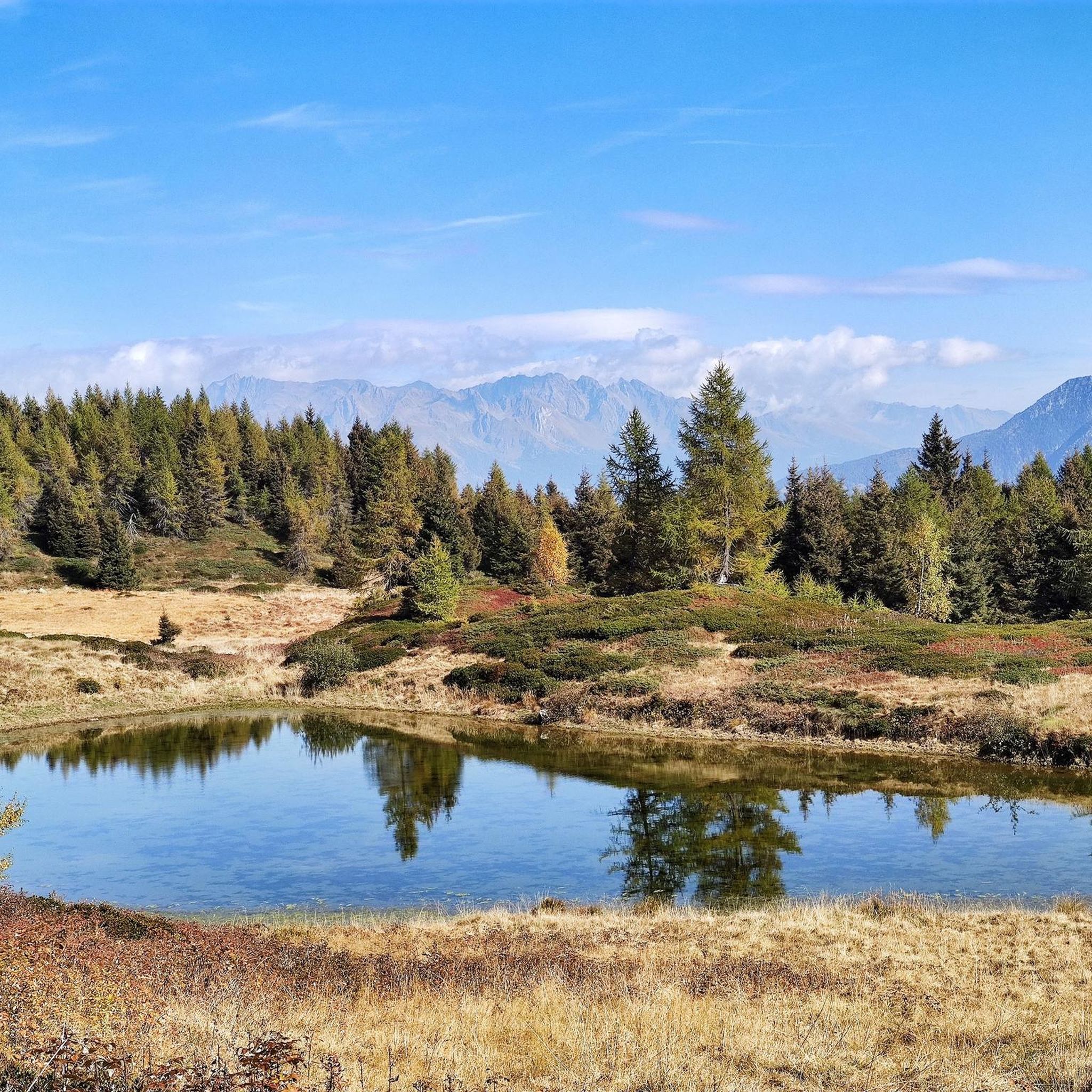
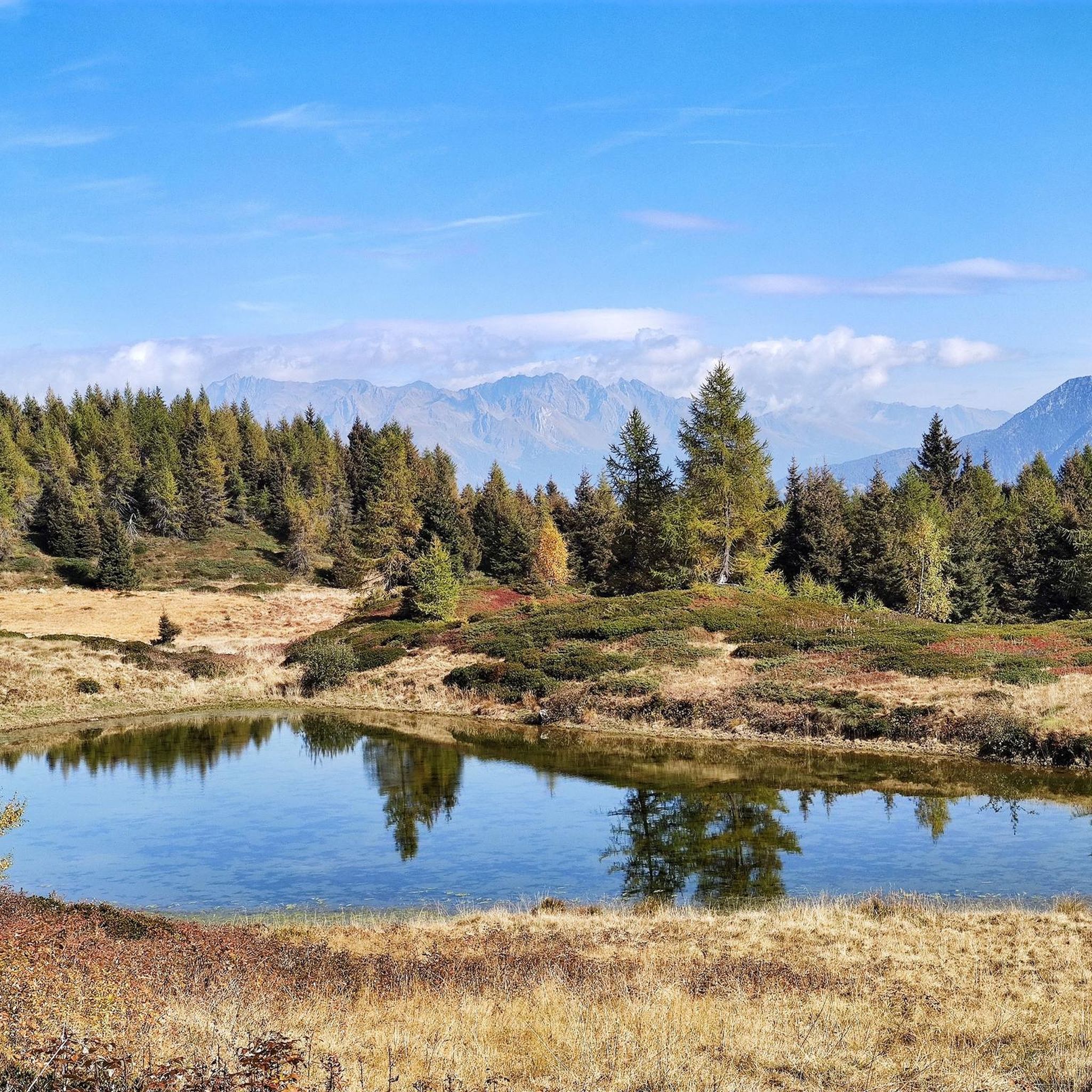
A very picturesque lake, its green water reflecting the nearby mountains. A great place for a short or long stop to take a souvenir photo.
0
0

A place with a wonderful panorama, with a fantastic view of the Concarena massif. In autumn, since the sun is low and hides behind the mountain massif, it creates enchanting plays of light and shadow. Easy to reach, it is in fact just a few meters from the Cimon Bagozza refuge, reachable by car. Suitable for everyone, including children and the elderly
0
0

Splendid view of Cimon Bagozza, Scalve Valley and Valcamonica
0
2
말로노 주변에서 가장 인기 있는 명소


더 살펴보기
말로노 주변의 최고의 동굴을 찾기 위해 이 가이드를 확인해보세요:
