켈하임 최고의 사이클링 경로
4.5
(523)
3,999
자전거 타는 사람
127
라이딩
켈하임 최고의 사이클링 경로를 찾으시나요? 켈하임에서 가장 멋진 자전거 라이딩 장소를 살펴본 후에 바로 떠나보세요. 여기서 마음에 드는 경로만 고르시면 돼요!
마지막 업데이트: 10월 4, 2026
4.6
(51)
369
자전거 타는 사람
31.9km
02:24
560m
560m
어려운 자전거 타기. 우수한 체력 필요. 대부분 포장된 지면. 실력과 관계없이 누구나 갈 수 있음.
4.5
(22)
317
자전거 타는 사람
48.9km
03:27
910m
900m
어려운 자전거 타기. 우수한 체력 필요. 대부분 포장된 지면. 실력과 관계없이 누구나 갈 수 있음.

4.7
(47)
252
자전거 타는 사람
66.1km
04:00
230m
230m
보통 자전거 타기. 좋은 체력 필요. 대부분 포장된 지면. 실력과 관계없이 누구나 갈 수 있음.
4.4
(12)
135
자전거 타는 사람
15.2km
00:57
100m
100m
초급용 자전거 라이딩. 모든 체력 수준에 적합. 대부분 포장된 지면. 실력과 관계없이 누구나 갈 수 있음.
4.4
(19)
118
자전거 타는 사람
20.5km
01:21
250m
250m
보통 자전거 타기. 좋은 체력 필요. 대부분 포장된 지면. 실력과 관계없이 누구나 갈 수 있음.
더 다양한 경로와 다른 탐험가들의 추천을 살펴보세요.
이미 komoot 계정이 있나요?
투어 추천은 다른 사람들이 komoot에서 완료한 수천 개의 활동을 바탕으로 구성되어 있습니다.
오늘 무료 계정으로 시작하세요
다음 모험이 기다리고 있어요.
켈하임 주변 인기 장소
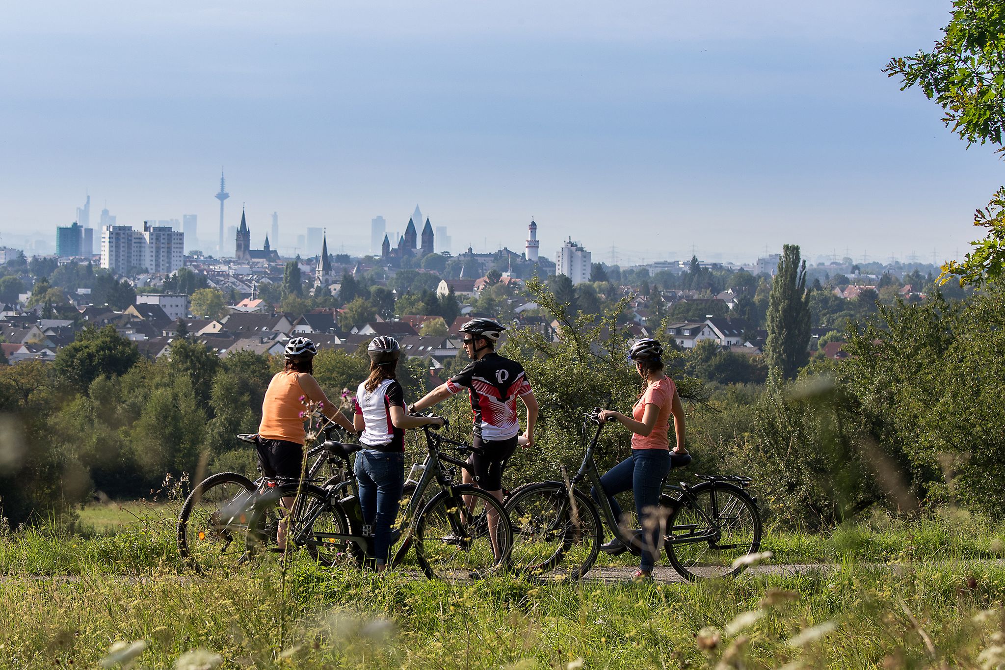
From safari to world heritage — cycling tours in the Taunus region

Delightfully scenic hiking in the Taunus range
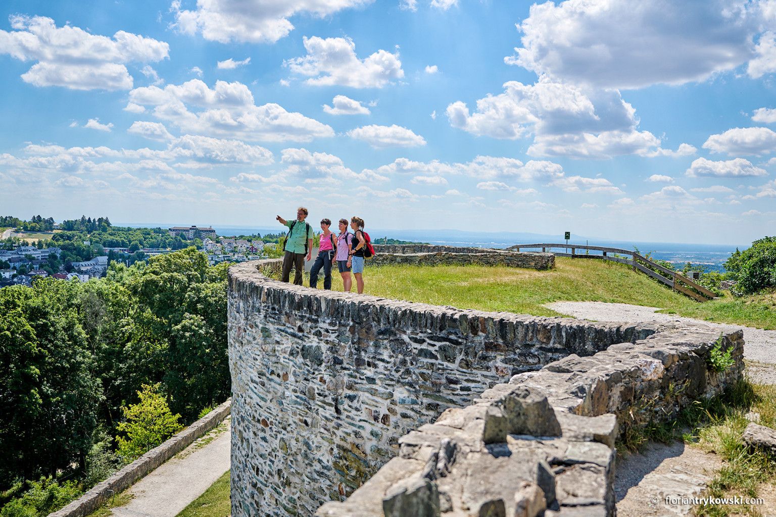
Experience nature and culture — hiking in Germany’s Taunus region
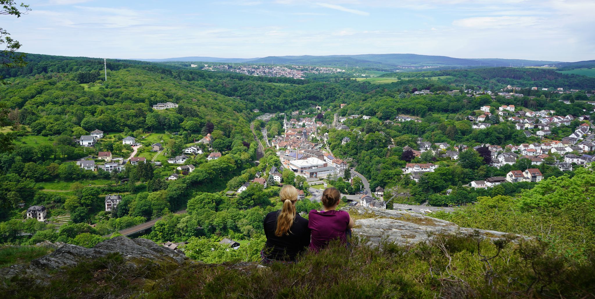
Exploring nature — hikes in Germany’s Taunus Mountains
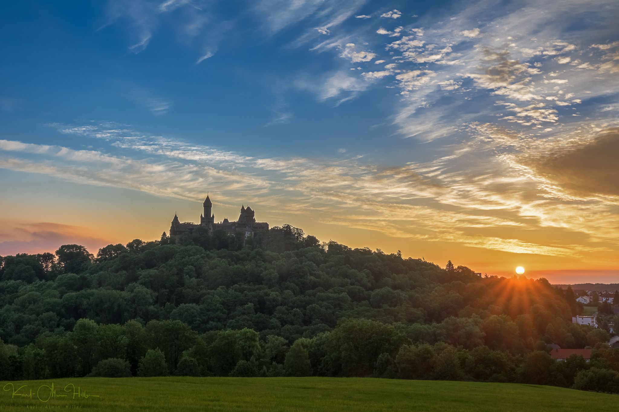
A journey through time – the most beautiful routes in the Taunus Nature Park
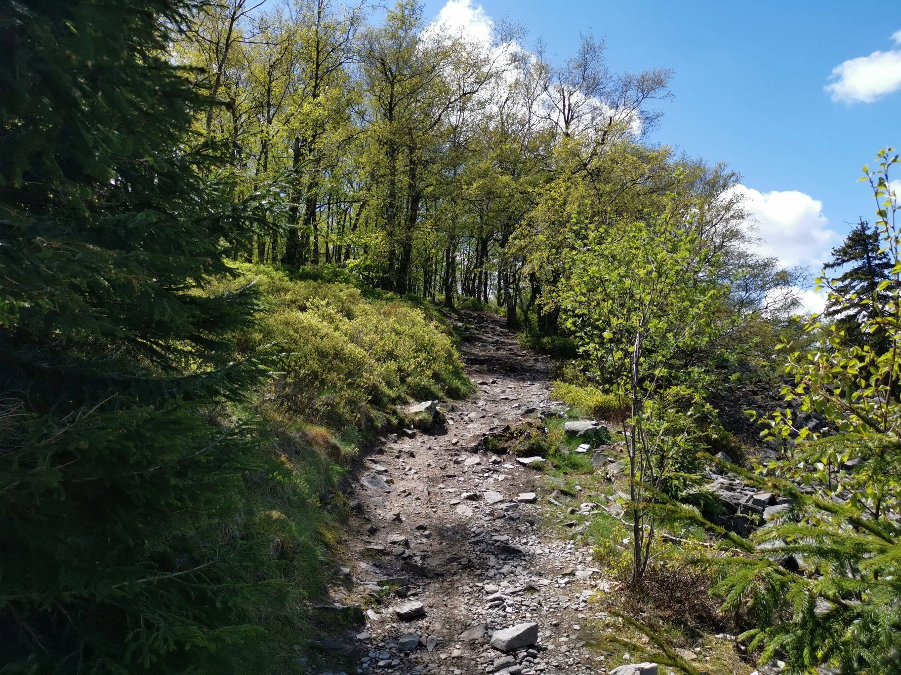
프랑크푸르트 주변의 가을 하이킹
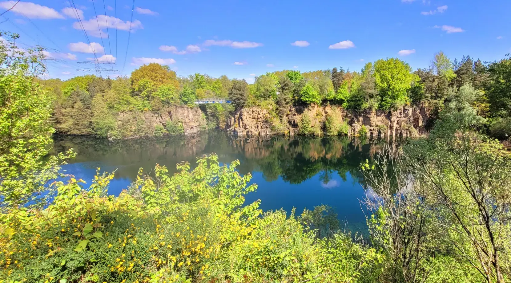
Stadt aus, Natur an im Rhein-Main-Gebiet – Mit Magnesium-Diasporal®
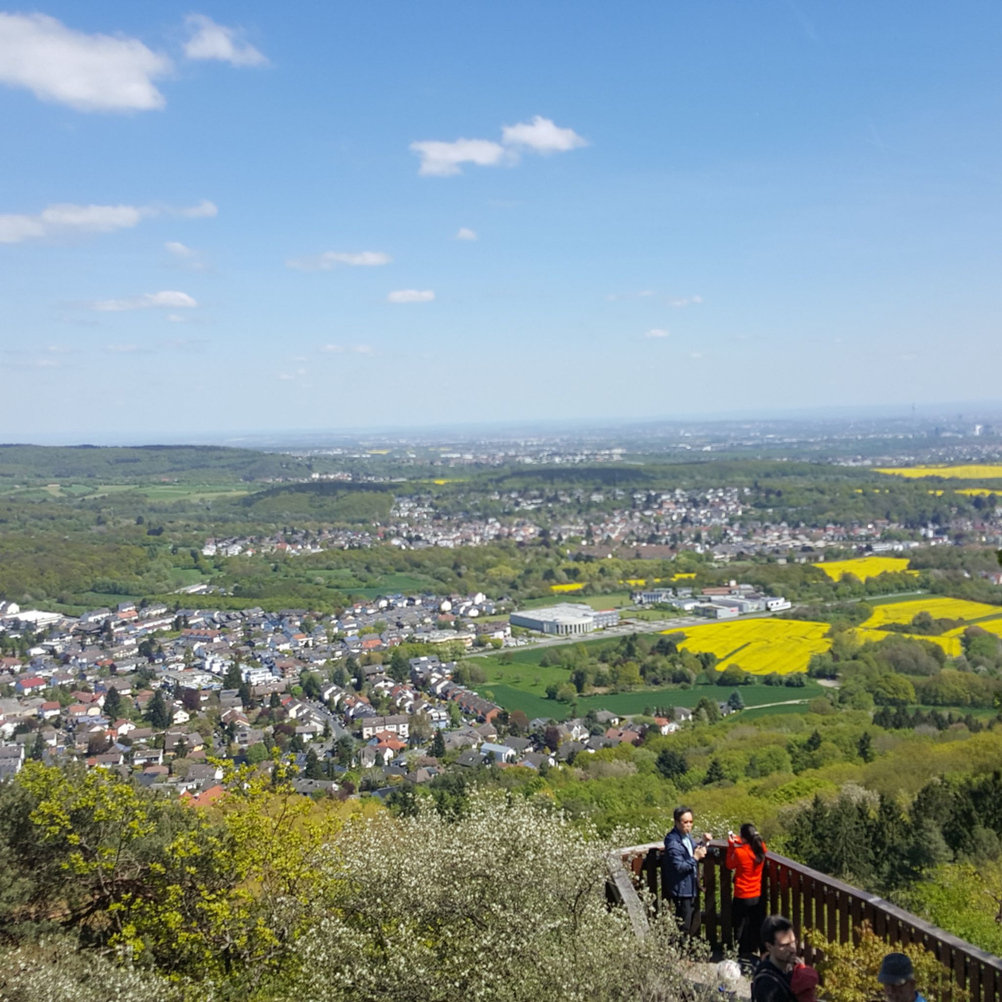
켈하임 하이킹
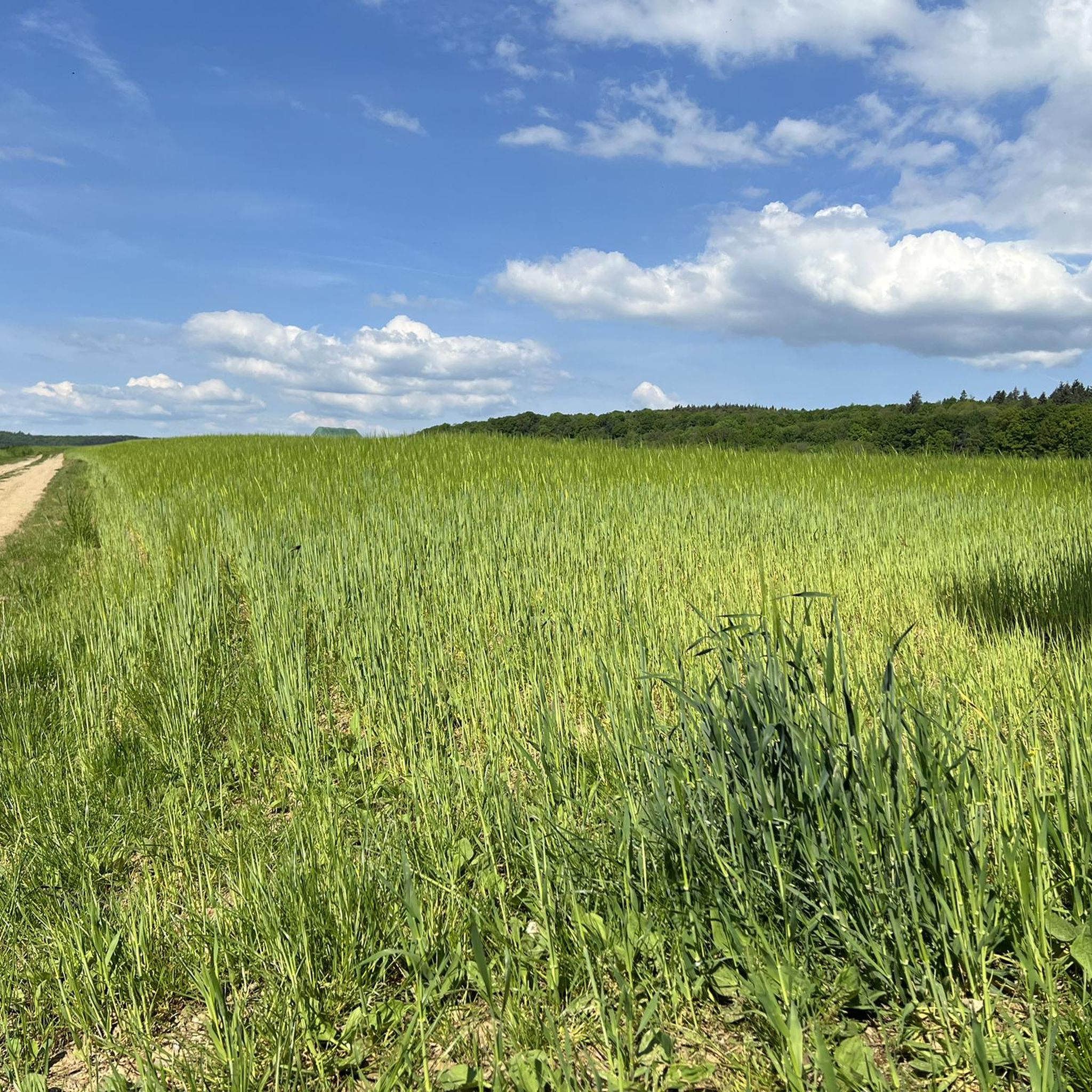
켈하임 로드 사이클링 경로
켈하임 러닝 트레일
켈하임 주변의 다른 모험


커뮤니티 팁

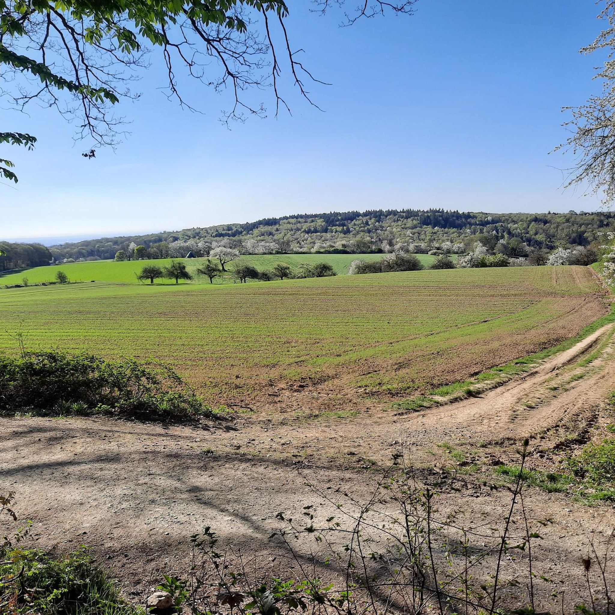
이 코스는 여러 가지 이유로 제가 가장 좋아하는 코스 중 하나입니다. a) 멋진 전망, b) 조용함 c) 낮에는 사실상 항상 햇볕이 잘 듦 (구름이 협조해 준다면).
1
0

Here you will find helpful information about the Liederbach. The Liederbach is a nearly 16-kilometer-long (almost 21 km including its right headstream, the Reichenbach) northern and right tributary of the Main River in Hesse, flowing through the Vordertaunus region in the Hochtaunus district, the Main-Taunus district, and the city of Frankfurt am Main.
13
1
There are boxes available here at the train station for parking bicycles.
3
0
Here are some of the large birds.
5
0
From this position you have a great view of the skyline; it somehow compels you to stop and marvel.
0
0
The tower at the ringfort stands at the top of a meadow slope northwest of Lorsbach. From there, one has a panoramic view over Lorsbach and the Lorsbach Valley. The tower takes its name from the Alteburg rampart located further up the hilltop. The wooden tower is 8.60 meters high. The viewing platform is at a height of 4.50 meters. The tower and the surrounding area are owned by the Lorsbach Local History Society. It was built according to plans by the late society member Emanuel Winkelmann. The tower was inaugurated on December 18, 2005. The tower at the ringfort is a popular destination for hikers and walkers. It is also easily accessible from Langenhain and Eppstein via hiking trails. The shortest route there leads from Lorsbach along the Alteburgweg trail.
5
0
There are several alpacas on the grounds, and an ostrich can also be found here.
11
0
From the Meisterturm tower, you have a magnificent panoramic view of the entire Rhine-Main region, the Taunus mountains, and the surrounding area. Truly beautiful! 🤩
13
2


더 살펴보기
다른 지역의 최고의 자전거 경로를 살펴보세요.
