엡스타인 최고의 사이클링 경로
4.5
(487)
2,694
자전거 타는 사람
93
라이딩
엡스타인 최고의 사이클링 경로를 찾으시나요? 엡스타인에서 가장 멋진 자전거 라이딩 장소를 살펴본 후에 바로 떠나보세요. 여기서 마음에 드는 경로만 고르시면 돼요!
마지막 업데이트: 10월 4, 2026
4.8
(13)
88
자전거 타는 사람
27.1km
01:56
420m
420m
보통 자전거 타기. 좋은 체력 필요. 대부분 포장된 지면. 실력과 관계없이 누구나 갈 수 있음.
4.6
(48)
200
자전거 타는 사람
32.2km
02:05
330m
330m
보통 자전거 타기. 좋은 체력 필요. 대부분 포장된 지면. 실력과 관계없이 누구나 갈 수 있음.

4.8
(10)
58
자전거 타는 사람
39.2km
02:28
270m
270m
보통 자전거 타기. 좋은 체력 필요. 대부분 포장된 지면. 실력과 관계없이 누구나 갈 수 있음.
4.6
(12)
71
자전거 타는 사람
초급용 자전거 라이딩. 모든 체력 수준에 적합. 대부분 포장된 지면. 실력과 관계없이 누구나 갈 수 있음.
4.0
(3)
67
자전거 타는 사람
25.7km
01:55
390m
390m
보통 자전거 타기. 좋은 체력 필요. 대부분 포장된 지면. 실력과 관계없이 누구나 갈 수 있음.
더 다양한 경로와 다른 탐험가들의 추천을 살펴보세요.
이미 komoot 계정이 있나요?
투어 추천은 다른 사람들이 komoot에서 완료한 수천 개의 활동을 바탕으로 구성되어 있습니다.
오늘 무료 계정으로 시작하세요
다음 모험이 기다리고 있어요.
엡스타인 주변 인기 장소

By bike and train into the green - cycling Tours around the EUROBIKE
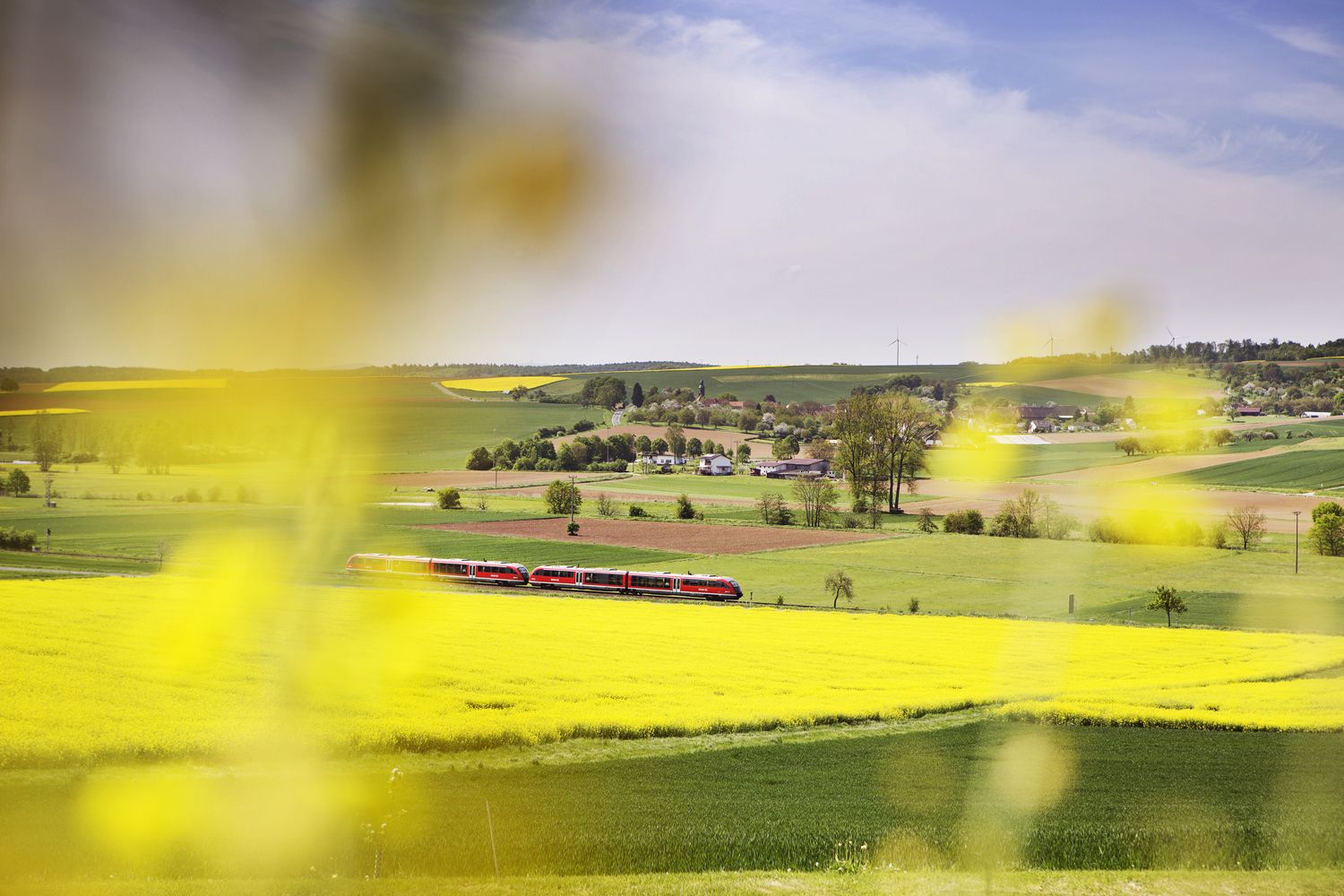
Valleys, meadows, forests — cycling bliss with Germany’s Rhine-Main Transport Network

Orchards, vineyards, taverns – hikes in the RMV area
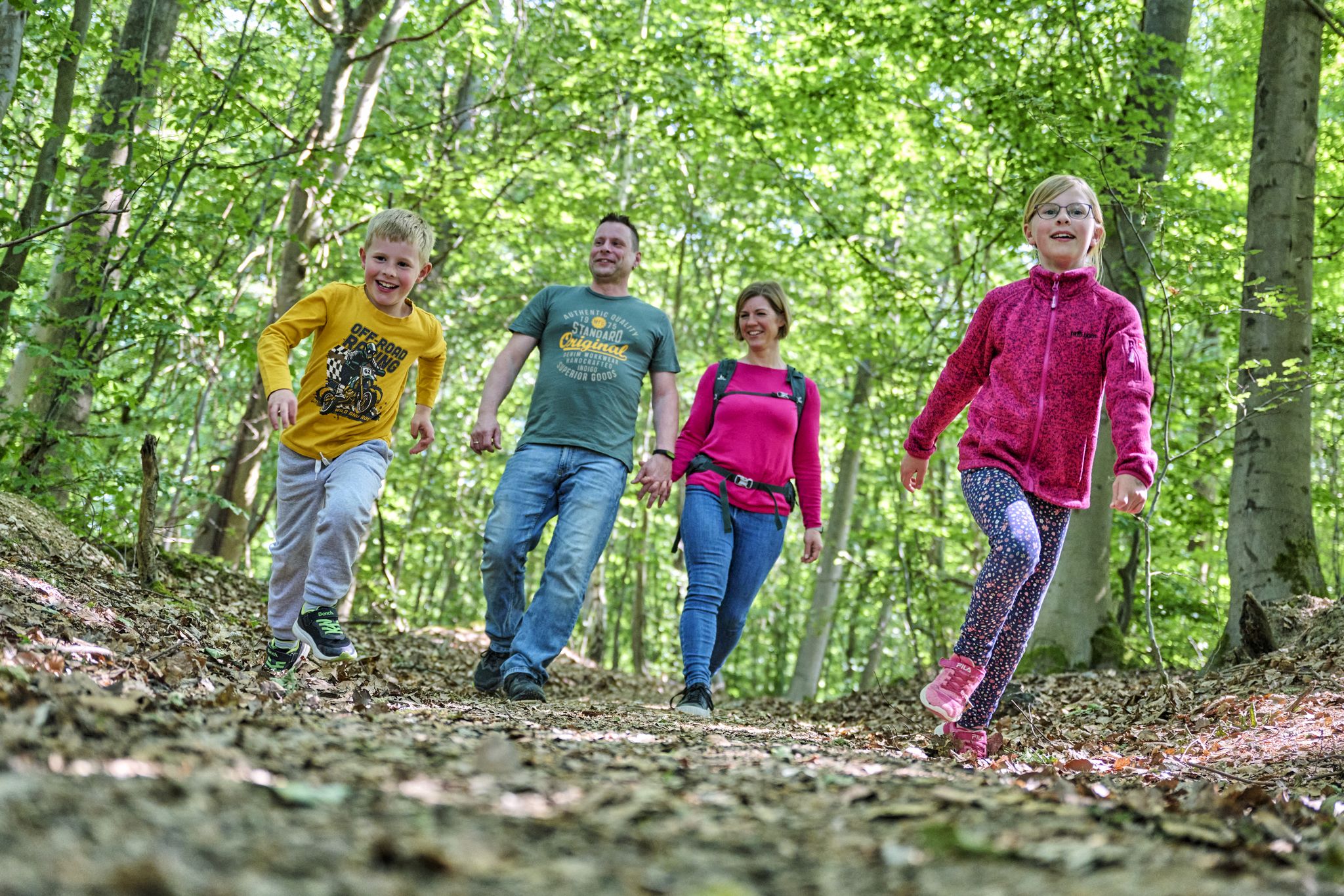
The journey is the adventure – hikes in Germany’s Taunus Mountains
Into the countryside! — hike with Germany’s Rhine-Main Transport Network
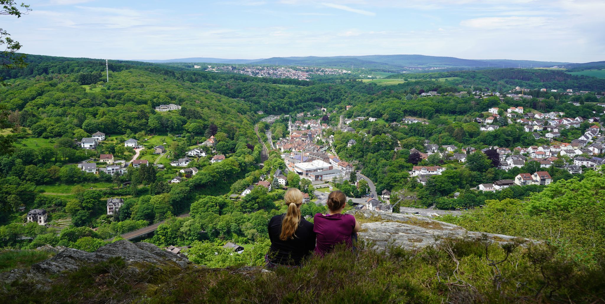
Exploring nature — hikes in Germany’s Taunus Mountains
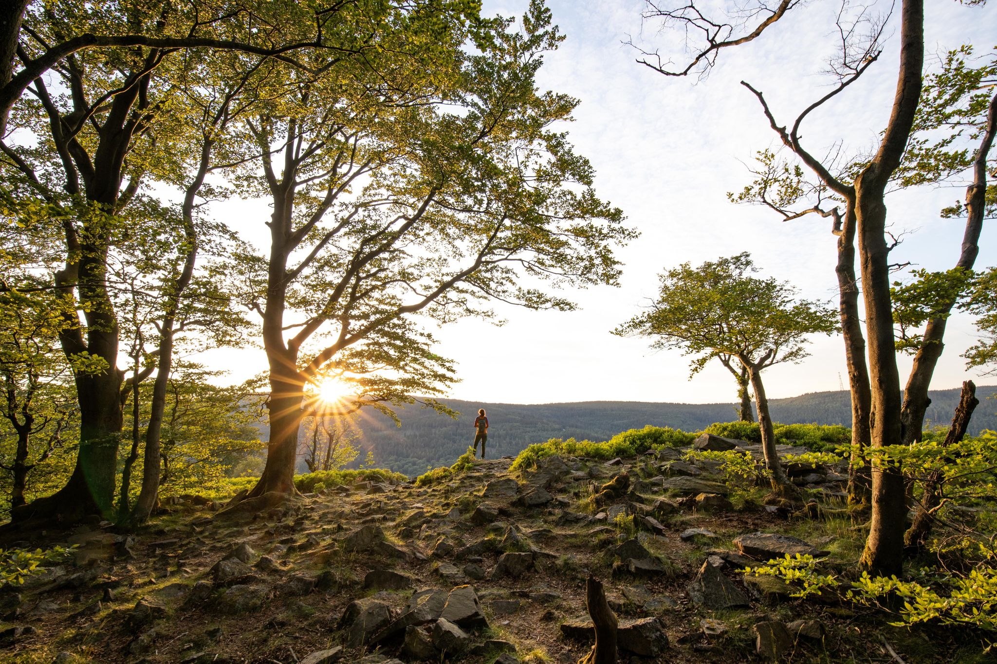
Deep valleys and airy heights – the most beautiful hikes in the Taunus in Germany
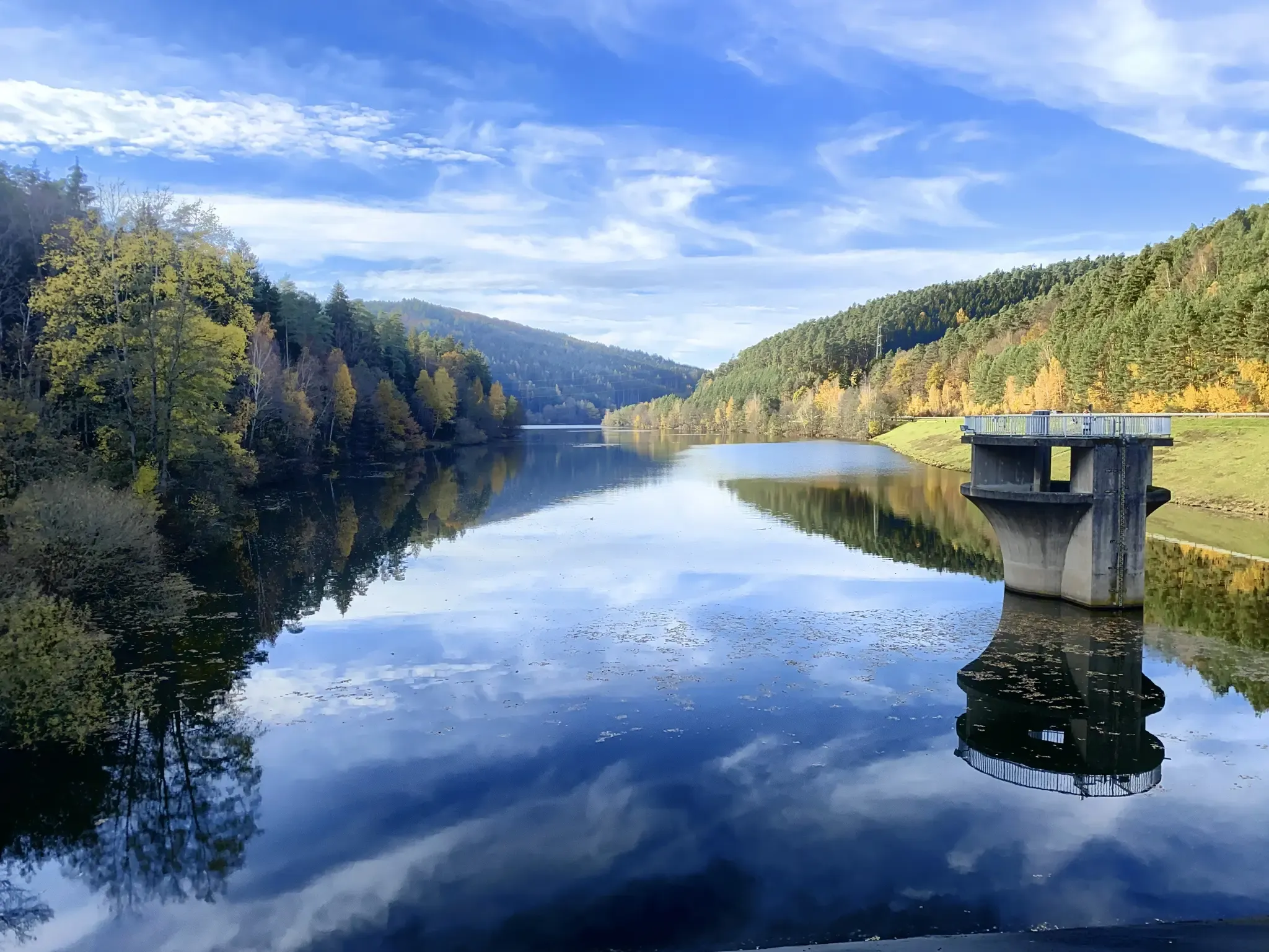
Mit Rosbacher auf Tour im Rhein-Main-Gebiet
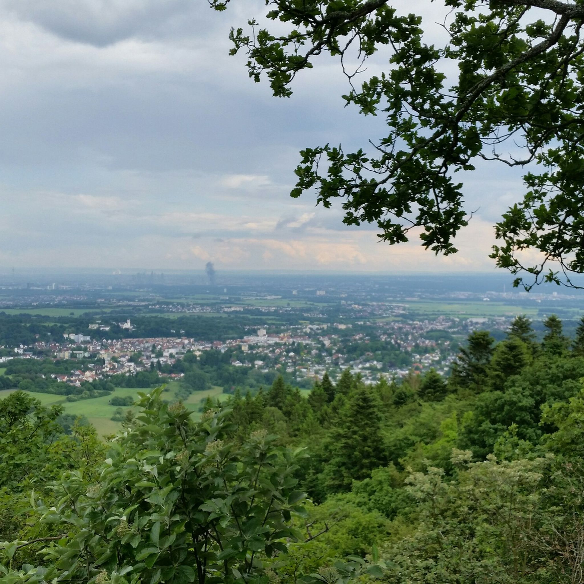
엡스타인 하이킹
엡스타인 러닝 트레일
엡스타인 주변의 다른 모험


커뮤니티 팁

The tower at the ringfort stands at the top of a meadow slope northwest of Lorsbach. From there, one has a panoramic view over Lorsbach and the Lorsbach Valley. The tower takes its name from the Alteburg rampart located further up the hilltop. The wooden tower is 8.60 meters high. The viewing platform is at a height of 4.50 meters. The tower and the surrounding area are owned by the Lorsbach Local History Society. It was built according to plans by the late society member Emanuel Winkelmann. The tower was inaugurated on December 18, 2005. The tower at the ringfort is a popular destination for hikers and walkers. It is also easily accessible from Langenhain and Eppstein via hiking trails. The shortest route there leads from Lorsbach along the Alteburgweg trail.
5
0
On June 24, 2022, the new St. John's Chapel at the Gimbach farm was consecrated. As an introduction and reminder: The first stone evidence of a sacred site dates back to the sixth century. For centuries, various buildings stood here, including a chapel, which was only demolished at the beginning of the 19th century. Processions and pilgrimages to this site have been documented since around 1650 and are still carried out today. Drawings, paintings, and map entries of the structures have also existed for centuries. (A brief note regarding various images and depictions from that time: For artistic reasons, the background, e.g., the 451-meter-high Staufen mountain, was moved to a different location to fit the overall picture.) Around 1912, the Pfeffer family, and subsequently the Schiela family, considered rebuilding the demolished chapel. They even collected existing building materials. But it wasn't until about 100 years later, around 2010, that the idea of building a pilgrimage site or shrine was revived, albeit somewhat circuitously: Mrs. Schiela's husband was visiting a doctor in Flörsheim when he spoke with a relative. One topic of conversation was a prayer room in Gimbach. Through the doctors, Dr. Betina Kilb-Fessler and Dr. Joachim Fessler, I, Helmut Mohr, was approached as a friend and architect, as I had been involved with church construction and renovations in the Main-Taunus district since 1983. Contact with Mrs. Schiela and her sister then led to the coordination and work that culminated in the project, the results of which can be seen here.
4
0
Many of you probably know the Gimbach estate primarily as a popular destination for day trips, complete with a fantastic playground, a tractor for climbing, horses, paddocks, and orchards. But the Gimbach estate is much more than that. It's a historically significant site in Kelkheim, likely the location of the first church in what is now the town of Kelkheim. The name Gimbach comes from the word "Gyn," derived from the male name "Ginno." The Gynnenbach stream, which originates in the Johannesborn spring about 400 meters south of the Gimbach estate, was first documented in 1287 in connection with a chapel dedicated to St. John. Since the "Roteldisstein," a 7th-century gravestone, was discovered at this location in 1868—600 years later—it is believed that a church building with a churchyard existed there as early as the Merovingian period. It was likely an early medieval baptismal church dedicated to John the Baptist.
14
0
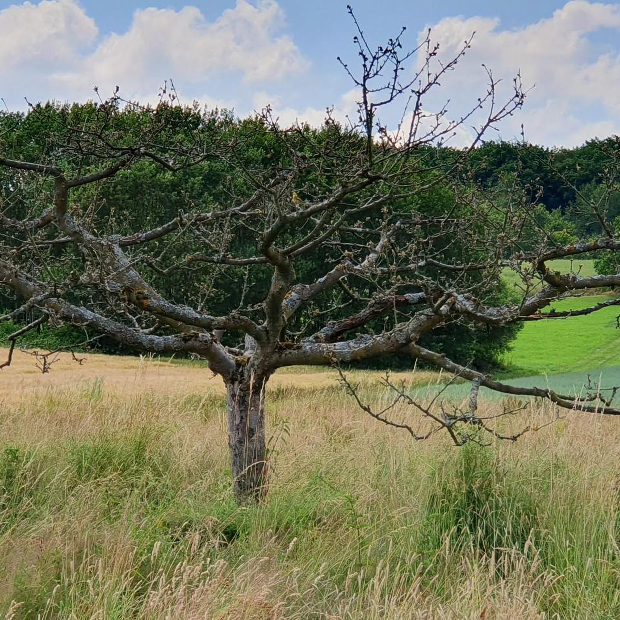
There is a beautiful avenue of service trees here. A few other trees have now sneaked in, but it's still great.
20
0
Here on the ridge there is a beautiful cycle path, which is great to ride and where you have a truly magnificent view
0
1
The Schwarzbach is a right tributary of the Main River in Hesse, Germany, approximately 32 km long. It rises in the eastern Hintertaunus region and flows into the Main near Okriftel, a district of Hattersheim am Main. Its upper reaches are known as the Dattenbach section until the Daisbach joins it from the right near Eppstein.
20
0
Under the tree you can find the classic seating stones very nice
20
0


더 살펴보기
다른 지역의 최고의 자전거 경로를 살펴보세요.
