페베스 주변 최고의 그래블 라이딩 코스
4.4
(63)
426
자전거 타는 사람
38
라이딩
그래블 사이클링은 Fèves 주변에서 Côtes de Moselle 지역에 걸쳐 다양한 지형을 제공하며, 고도는 167m에서 373m까지 다양합니다. 이 지역은 초원, 작은 숲, 과수원, 숲을 포함한 자연 및 농업 지역이 혼합된 풍경을 특징으로 합니다. 이 지역은 그래블 사이클링에 적합한 비포장 도로와 길을 제공하며, 흥미로운 라이딩을 선사하는 기복이 있는 지형을 갖추고 있습니다. 이 지역의 광범위한 트레일 네트워크는 종종 숲, 들판, 포도밭을 가로지릅니다.
Fèves 주변 최고의 그래블 자전거 코스
- 가장 인기 있는 그래블 자전거 코스는 Orne River – Quite a strange gateway loop from…
마지막 업데이트: 10월 19, 2026
4
자전거 타는 사람
74.4km
05:58
1,120m
1,120m
어려운 자갈길 타기. 우수한 체력 필요. 대부분 포장된 노면.
9
자전거 타는 사람
37.9km
02:37
550m
550m
어려운 자갈길 타기. 우수한 체력 필요. 대부분 포장된 노면.

11
자전거 타는 사람
22.0km
01:41
400m
400m
보통 자갈길 타기. 좋은 체력 필요. 대부분 포장된 노면.
4.8
(4)
32
자전거 타는 사람
52.0km
03:08
160m
160m
보통 자갈길 타기. 좋은 체력 필요. 대부분 포장된 노면.
4.0
(3)
11
자전거 타는 사람
38.0km
02:24
270m
270m
보통 자갈길 타기. 좋은 체력 필요. 대부분 포장된 노면.
더 다양한 경로와 다른 탐험가들의 추천을 살펴보세요.
이미 komoot 계정이 있나요?
투어 추천은 다른 사람들이 komoot에서 완료한 수천 개의 활동을 바탕으로 구성되어 있습니다.
오늘 무료 계정으로 시작하세요
다음 모험이 기다리고 있어요.
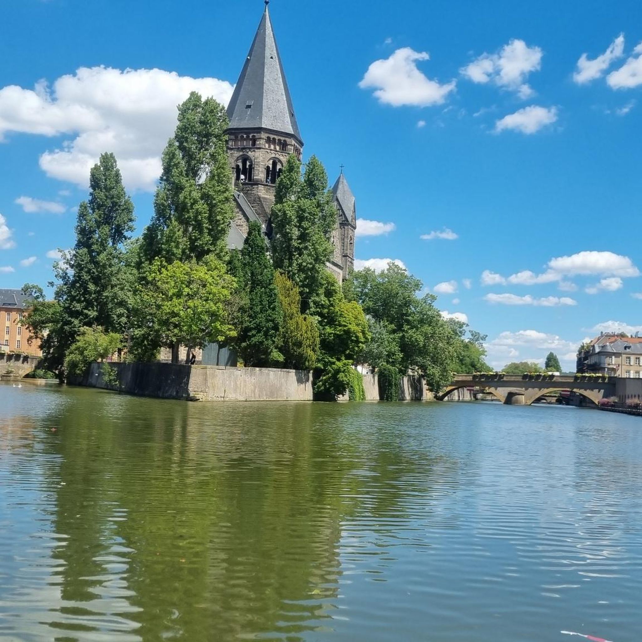
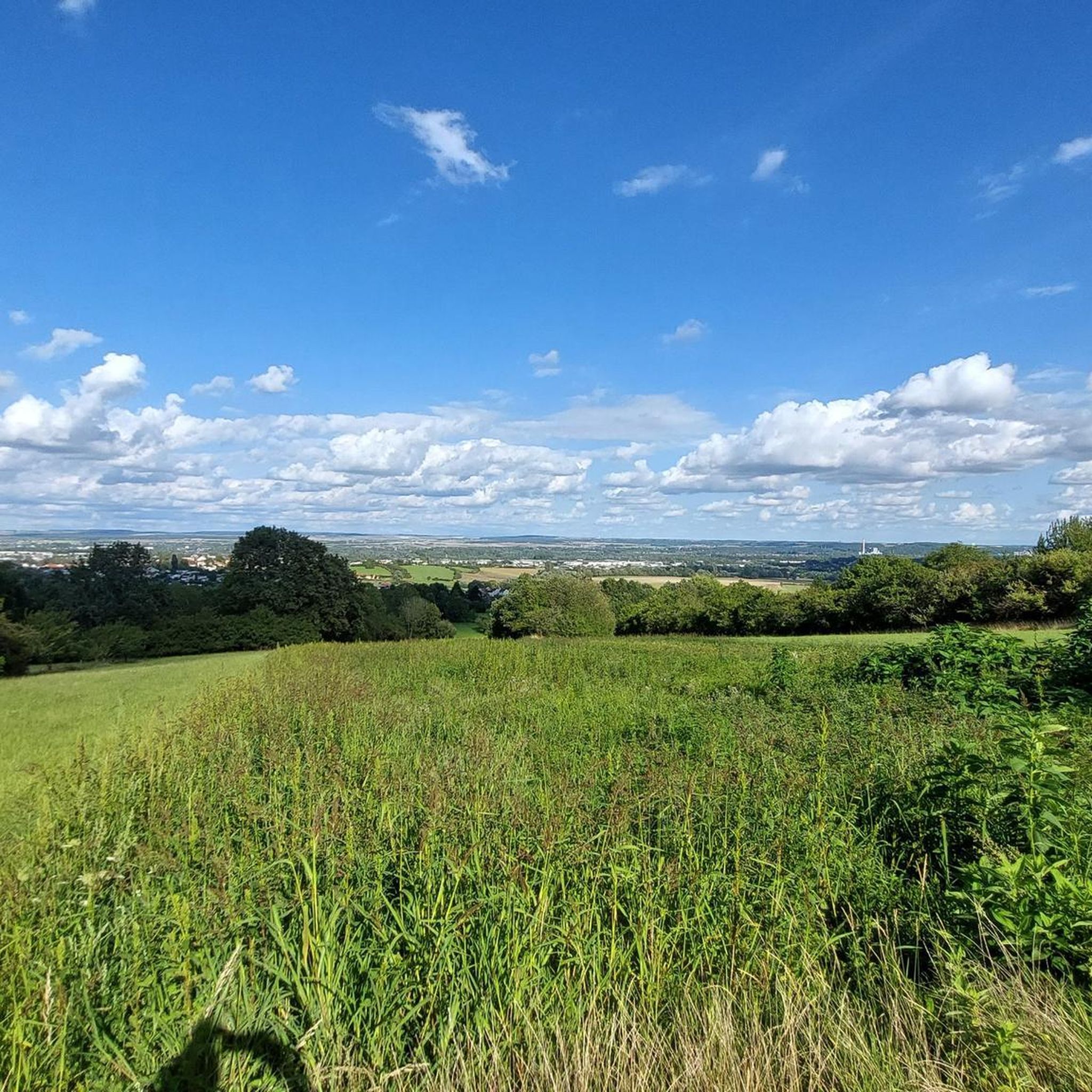
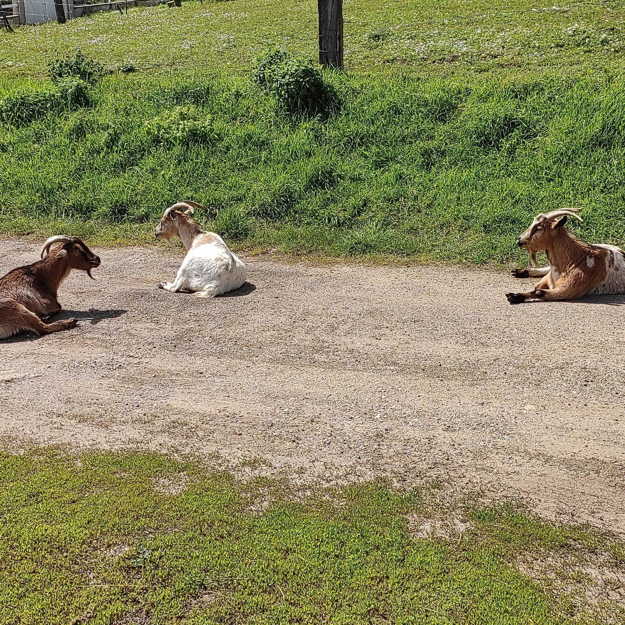
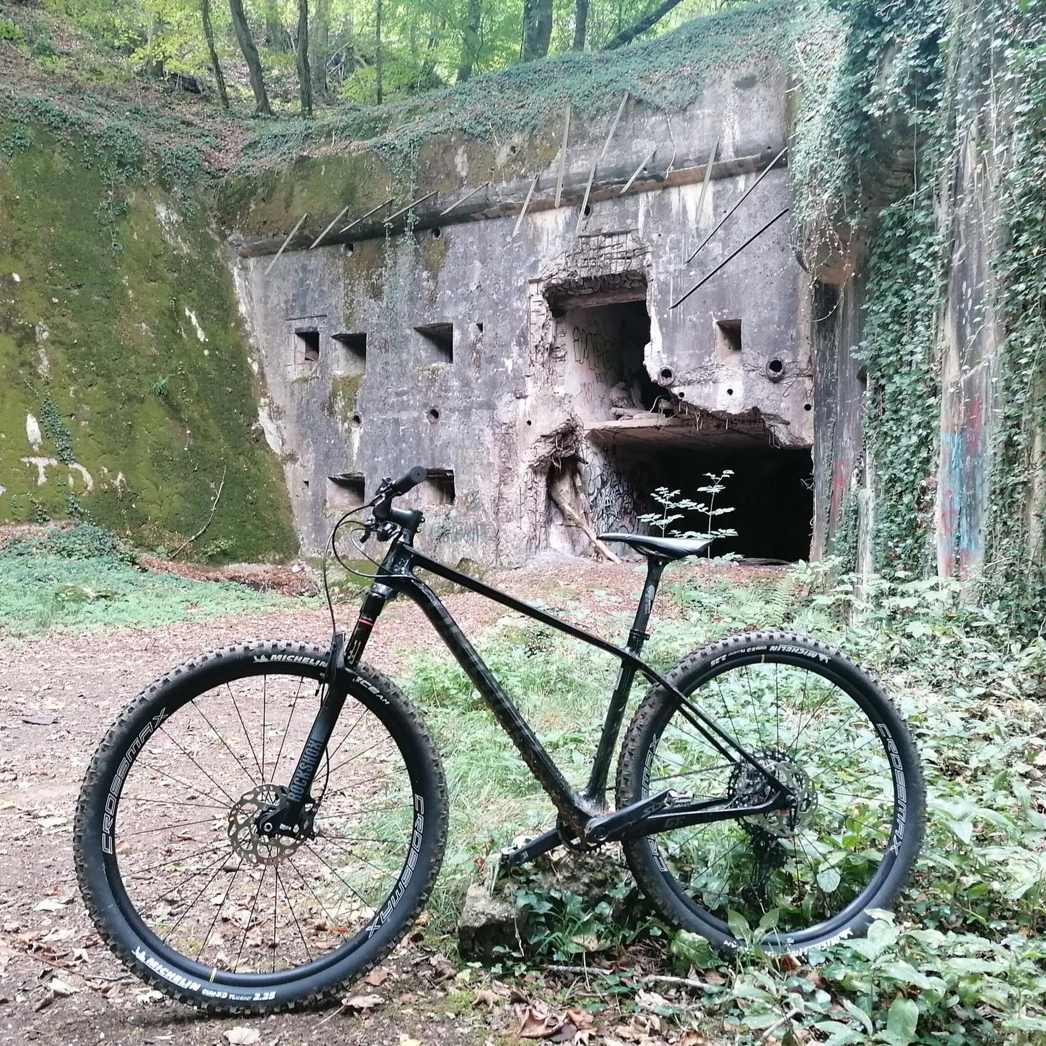

커뮤니티 팁


An interesting site, especially thanks to the various information panels. The climb through the woods (more pleasant than the road, which is closed to traffic anyway) is enjoyable. However, it might seem a bit steep for those who aren't in good shape. There's a beautiful viewpoint at the top, and numerous trails allow you to extend the walk. The starting car park fills up quite quickly, but it's perfectly possible to park in the village, which is what we did. A sunny day is definitely preferable!
0
0

Fort Plappeville, renamed Fort Alvensleben in 1872, is a military installation northwest of Metz. It is part of the first fortified belt of Metz, built during the Second Empire by Napoleon III. The first fortified belt of Metz consists of the forts Saint-Privat (1870), Queleu (1867), Bordes (1870), Saint-Julien (1867), Gambetta, Déroulède, Decaen, Plappeville (1867), and Saint-Quentin (1867). Most of them were still unfinished in 1870, when the Franco-Prussian War broke out.
0
0
페베스 주변에서 가장 인기 있는 명소


더 살펴보기
다른 지역의 최고의 그래블 라이딩를 살펴보세요.
