회하이뇌드 최고의 워킹 & 하이킹 경로
4.5
(631)
2,212
등산객
30
하이킹
정확한 경로를 찾는 것이 때로는 어렵지만 회하이뇌드에서 하이킹을 하면 다양한 경치를 마음껏 감상할 수 있답니다. 회하이뇌드에서 가장 멋진 하이킹과 워킹 중에서 마음에 드는 활동을 시작해보세요.
마지막 업데이트: 9월 25, 2026
4.5
(36)
128
등산객
11.6km
03:13
210m
210m
보통 하이킹. 좋은 체력 필요. 실력과 관계없이 누구나 쉽게 갈 수 있는 길.
4.2
(6)
25
등산객
8.54km
02:27
180m
180m
보통 하이킹. 좋은 체력 필요. 대부분 갈 수 있는 길. 미끄러지지 않게 조심해야 함.

4.5
(8)
32
등산객
7.12km
02:01
150m
150m
보통 하이킹. 좋은 체력 필요. 실력과 관계없이 누구나 쉽게 갈 수 있는 길.
4.9
(14)
19
등산객
6.99km
01:49
50m
50m
초급용 하이킹. 모든 체력 수준에 적합. 실력과 관계없이 누구나 쉽게 갈 수 있는 길.
4.3
(3)
14
등산객
6.39km
01:44
90m
90m
초급용 하이킹. 모든 체력 수준에 적합. 실력과 관계없이 누구나 쉽게 갈 수 있는 길.
더 다양한 경로와 다른 탐험가들의 추천을 살펴보세요.
이미 komoot 계정이 있나요?
투어 추천은 다른 사람들이 komoot에서 완료한 수천 개의 활동을 바탕으로 구성되어 있습니다.


커뮤니티 팁

Bench on the Sickinger Höhenweg with a panoramic view.
0
0

The route to the Kessel and back to the Weihermühle is recommended.
0
0
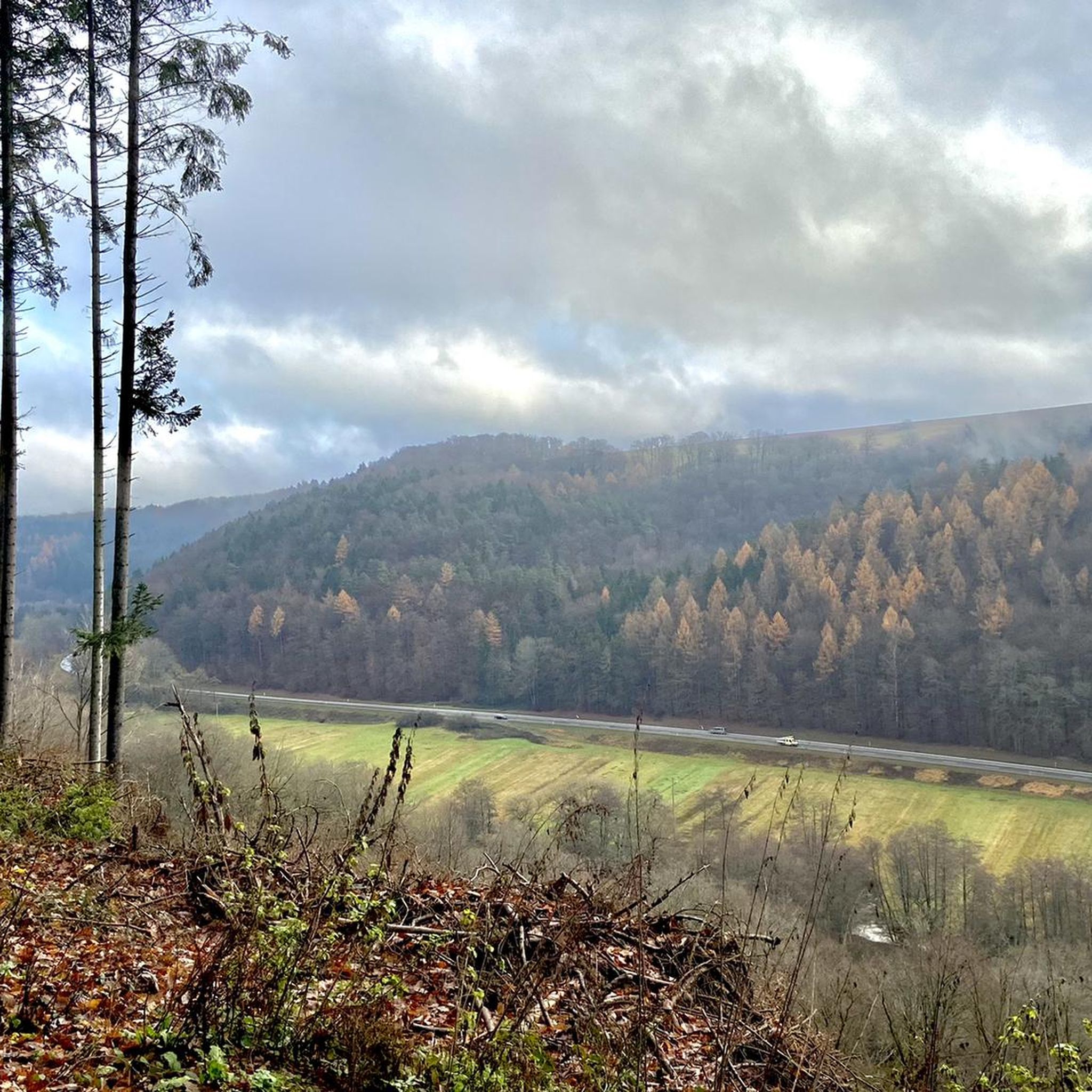
The Schwarzbachtal Bridge is located at a height of about 340 m above sea level in the municipality of Thaleischweiler-Fröschen in the south and Höheinöd in the north. About 6 km north of the city of Pirmasens, between the hamlet of Biebermühle in the east and the municipality of Thaleischweiler-Fröschen in the west, the bridge carries the A62 federal highway (Pirmasens–Landstuhl–Kusel–Nonnweiler) from southwest to northeast over the valley of the Schwarzbach.
0
0

The biotope was completely drained. The pond no longer exists. Sad for the wildlife. Ducks, for example, always swam around there 🦆
0
0
The stairs are quite steep. No problem going up, but back to the parking lot.
0
0

The steps are ideal to avoid slipping
0
0
회하이뇌드 주변에서 가장 인기 있는 명소


더 살펴보기
다른 지역의 최고의 하이킹를 살펴보세요.
