디센티스/무스테르에서 가장 멋진 20개의 산길
디센티스/무스테르에서 가장 멋진 산길을 아래에서 살펴보세요. 풍경을 감상하기에도 좋고, 오르막길/내리막길을 따라 걷기에도 좋은 곳이랍니다. 커뮤니티가 특별 도움을 통해 공유한 콘텐츠인 만큼 믿을 수 있는 정보이니 마음에 드는 산길이 있다면 바로 다음 모험 계획에 추가해서 바로 방문해보세요.
마지막 업데이트: 10월 13, 2026

오버알프 고개의 구불구불한 길
하이라이트 (구간) • 산악 고개
번역자 Google •
팁에 의해

이런 장소를 발견하려면 지금 가입하세요
최고의 싱글 트랙, 봉우리 및 다양한 흥미로운 야외 장소에 대한 추천을 받아보세요.

피세텐그라트 케이블카 산악역
하이라이트 • 휴식 공간
The construction of the new cable car to the Fisetengrat has been completed and will officially run from December 1st, 2001.
Approved by …
번역자 Google •
팁에 의해
무료로 가입하여 디센티스/무스테르 주변의 더 많은 산악 고개를 발견하세요.
이미 komoot 계정이 있나요?
오늘 무료 계정으로 시작하세요
다음 모험이 기다리고 있어요.
디센티스/무스테르 주변 인기 장소
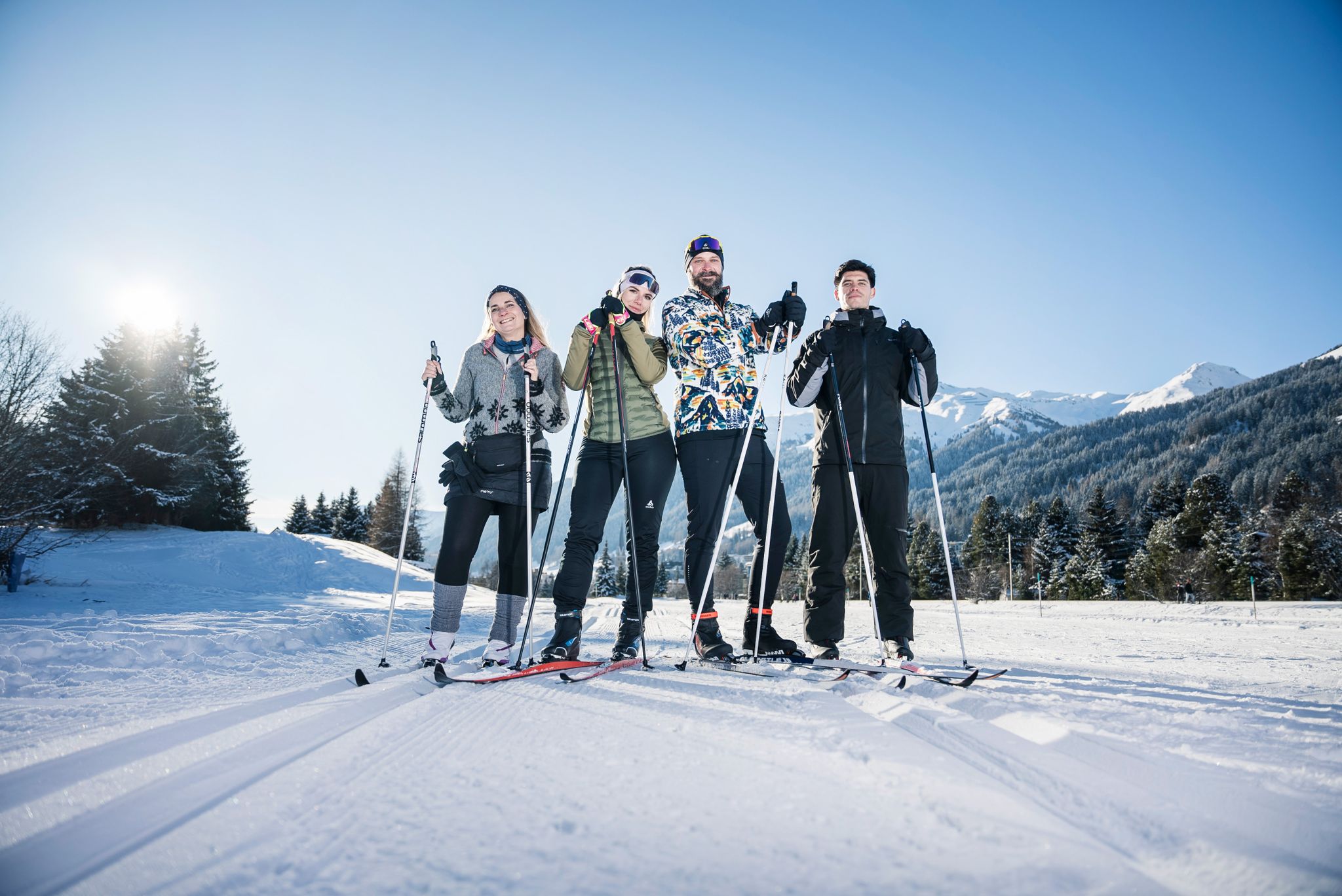
«Everyone runs long»: Cross-country ski trail tips from Graubünden
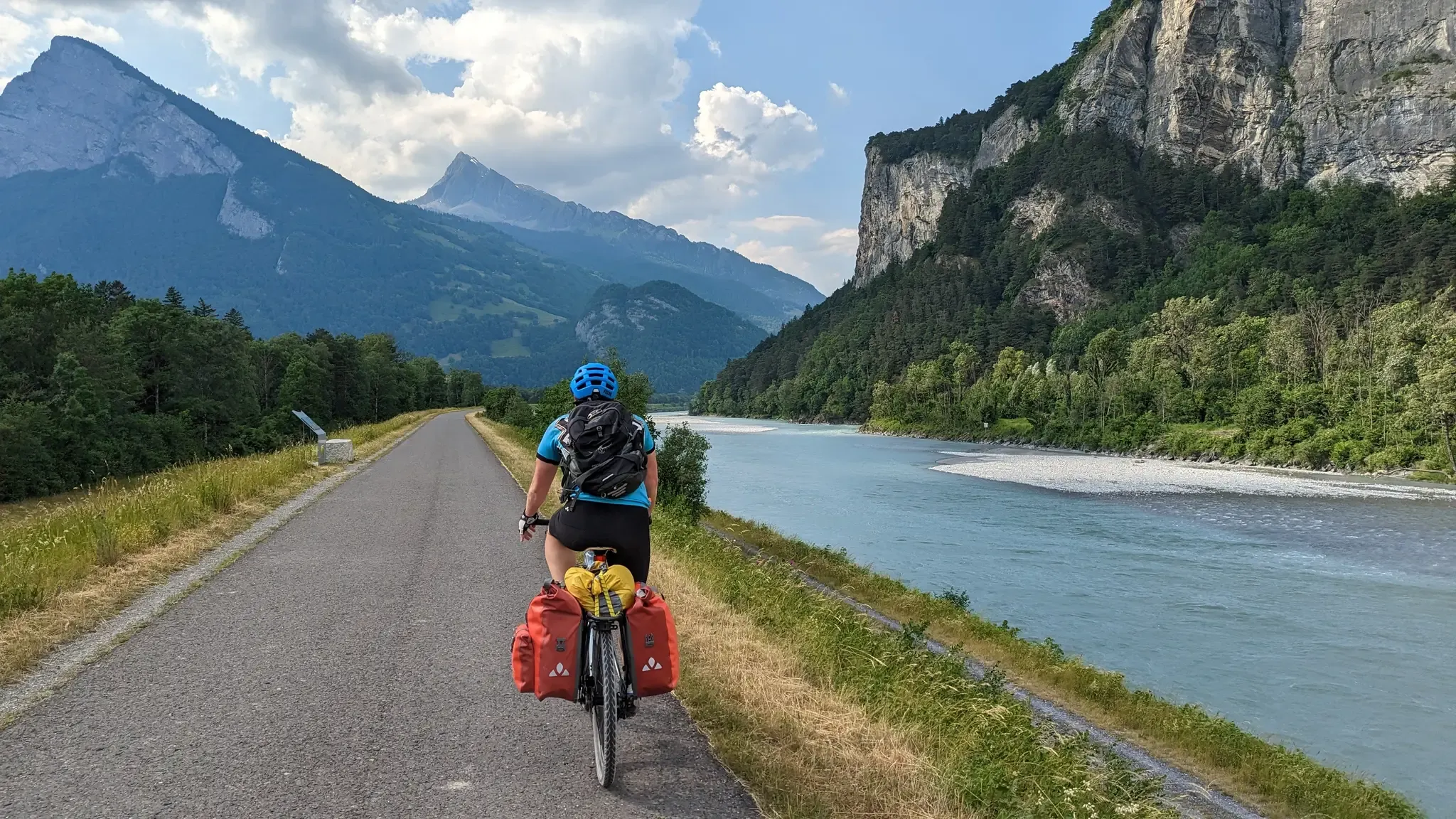
라인 자전거 도로는 발원지에서 북해까지
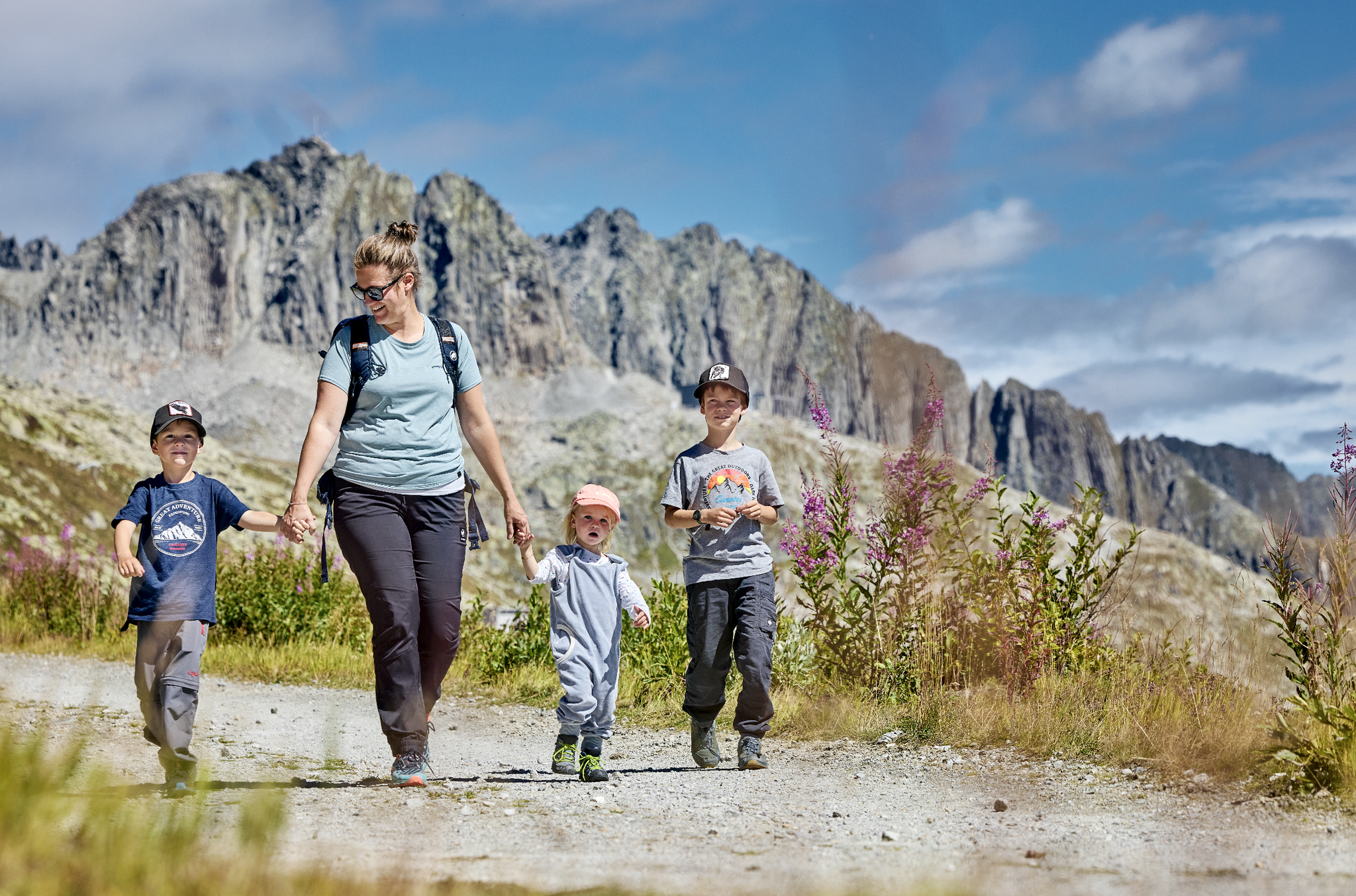
Mountain Playground – family adventures in Andermatt-Sedrun-Disentis
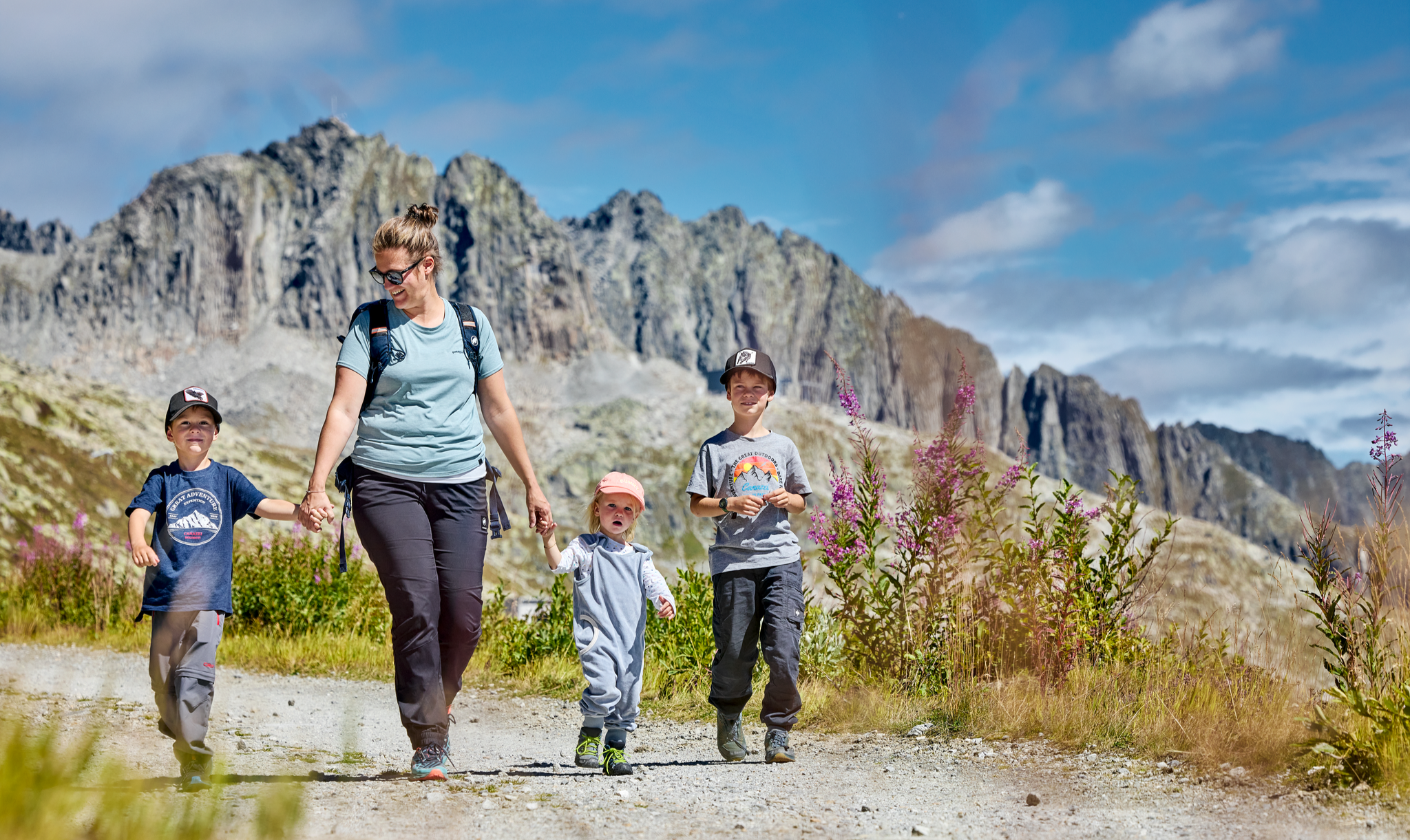
Mountain Playground – family adventures in Andermatt-Sedrun-Disentis
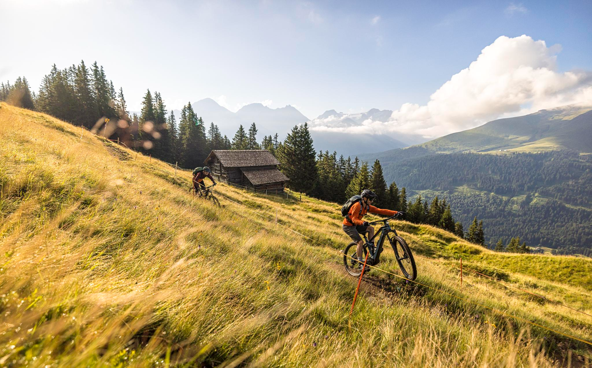
Flowy MTB trails with wonderful views – the best of Disentis Sedrun
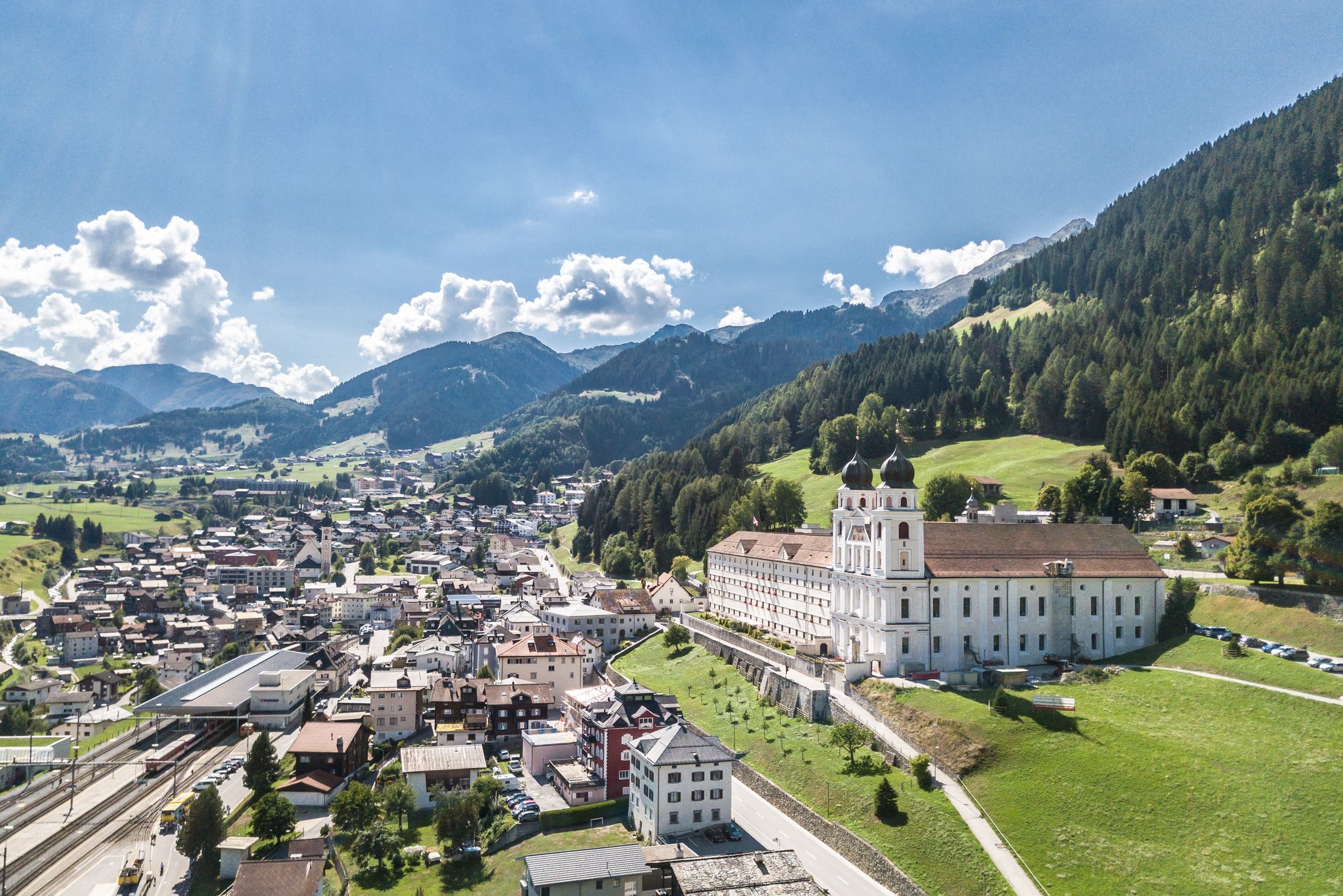
Between water, rock and forest - Grischun Cultura Surselva
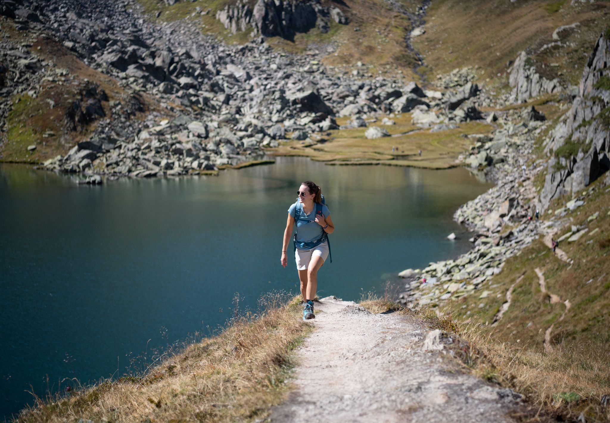
Varied hikes around the source of the mighty Rhine
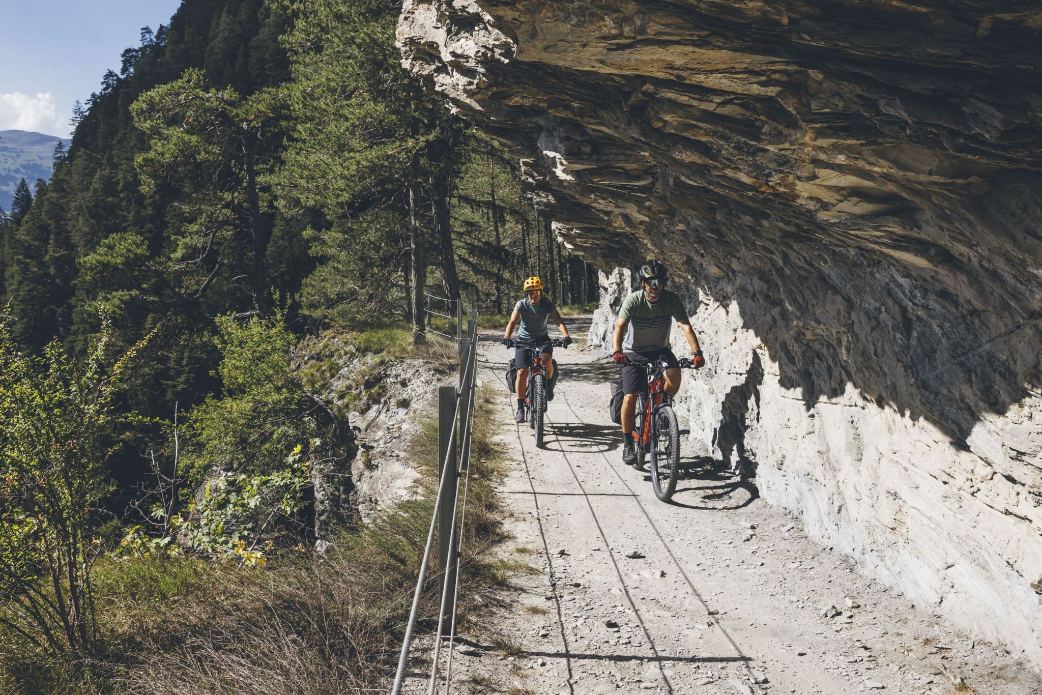
글레이셔 바이크 투어의 큰 모험을 경험하세요
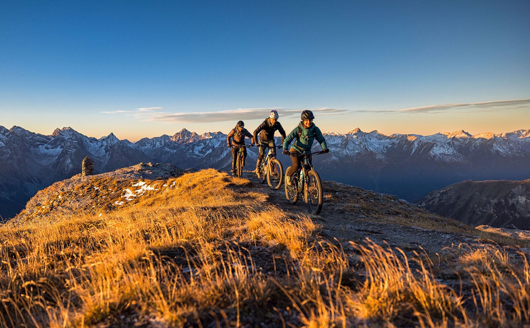
These 5 enduro bike tours will make you happy
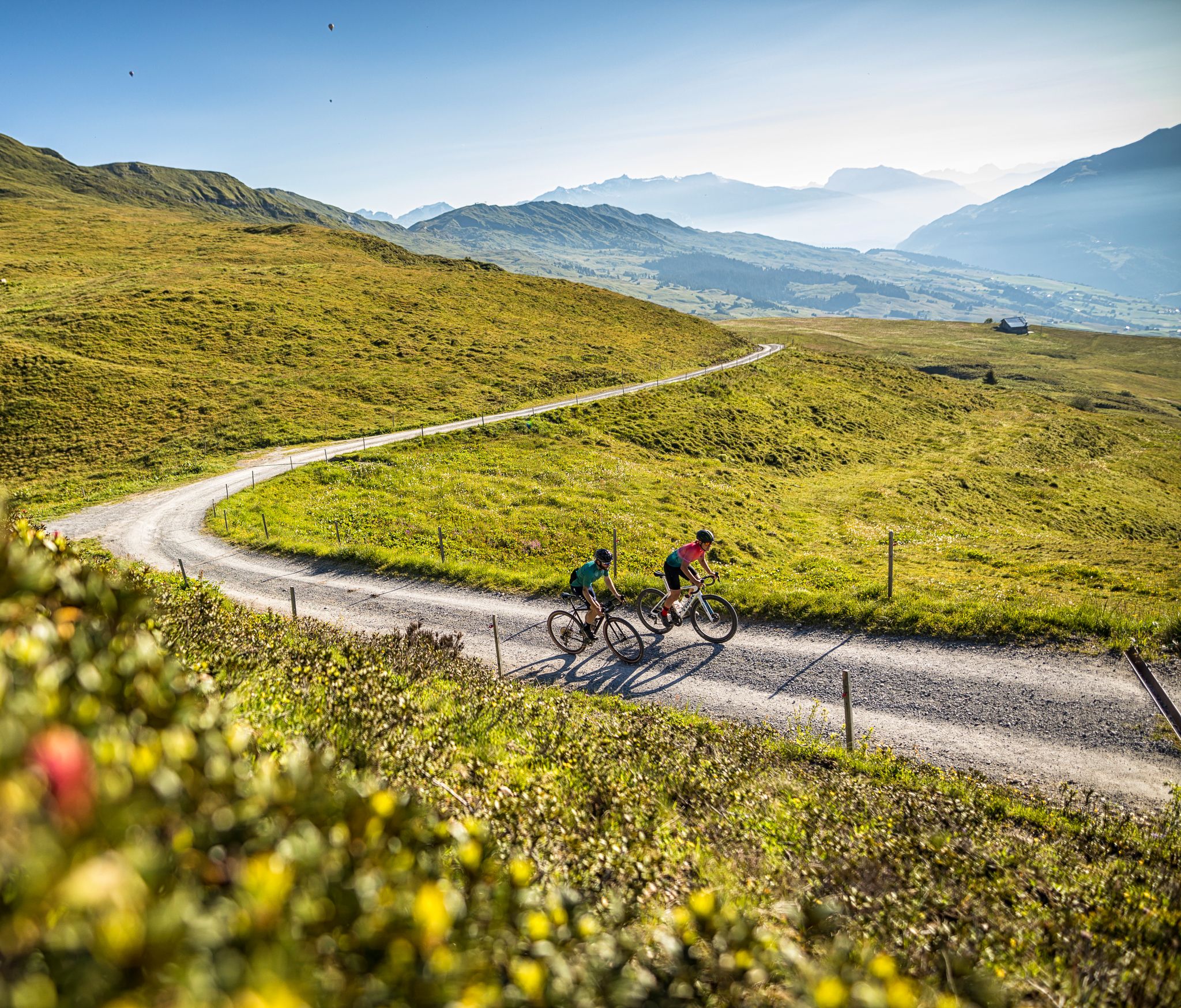
The six most beautiful gravel routes in Graubünden


커뮤니티 팁

A fabulous high-altitude trail, with stunning views and even more fascinating with clouds. The trail offers a pleasant incline and gradient, crossing meadows and lots of rock and scree. The glacier at the lake is a highlight. This high-altitude trail offers pure nature to enjoy.
1
0
Great view, several benches to sit and enjoy. I would definitely climb through the forest myself instead of taking the gondola – it's so much more beautiful up there...and the path through the forest is really beautiful.
1
0

Fair prices for the ride up and down. There's a portable car around the corner.
0
0

At the Oberalp Pass at 2,044 meters, not only is the obligatory "passport photo" waiting at the Oberalp Pass sign, but also the only lighthouse in the Alps. It comes from Rotterdam, where the original lighthouse can be found in the Maritime Museum, which once stood in Hoek van Holland, at the mouth of the Rhine into the North Sea - thus completing the circle from the source to the mouth.
5
0

The Oberalp pass connects the cantons of Uri and Grisons. The pass, which is located at 2,046 meters above sea level, has been open to vehicles since the mid-19th century.
1
0

Mountain station of the Urnerboden-Fisetengrat cable car The construction of the new cable car to the Fisetengrat has been completed and will officially run from December 1st, 2001. Approved by the canton on January 23, 2001 for passenger transport. Text / Source: Urnerboden tourist office https://urnerboden.ch/geschichte/
15
0
Mountain station of the Urnerboden-Fisetengrat cable car In 1955, the authorities approved a goods transport cable system from Argseeli to Orthalten, which was also implemented in 1955/56. Text / Source: Urnerboden tourist office https://urnerboden.ch/geschichte/
14
0
Fisetenpass 2023 m The Fisetenpass is a mountain pass in the municipality of Spiringen (Urnerboden exclave) in the canton of Uri. Its pass is at an altitude of 2036 meters above sea level between the Gemsfairenstock (2971m) in the southwest and the Fisetengrat or the Chamerstock (2123m) in the east. The easiest way to reach the pass is to take the mountain cable car from Urnerboden to the Fisetengrat mountain station and from there in a few minutes to the top of the pass. You hike over the pass from the Urnerboden to the Fiseten area and on to the Claridenhütte and Tierfehd. The specified hiking time from the Fisetenpass to the Claridenhütte is 2h40min, down to Linthal 4h55min and also down the valley to the Urnerboden 3h10min. In a four-hour mountain hike from the top of the pass you can also reach the Klausen Pass (Clariden high-altitude trail). Text / source: Fuorcla.ch https://fuorcla.ch/fisetenpass/
14
0
디센티스/무스테르 주변에서 가장 인기 있는 명소


더 살펴보기
이 가이드를 통해 더 많은 장대한 산악 통과를 확인해보세요 디센티스/무스테르 주변:
