디센티스/무스테르에서 가장 멋진 20개의 호수
디센티스/무스테르에서 가장 멋진 호수를 방문하고 싶나요? 호숫가의 고요한 분위기를 느끼거나 날씨가 따뜻한 날 호수에 발을 살짝 담글 수 있다면 얼마나 좋을까요? Komoot 커뮤니티가 추천한 디센티스/무스테르의 주요 호수를 아래에서 살펴보고, 다음 모험 때 직접 찾아가보세요!
마지막 업데이트: 10월 11, 2026


오늘 무료 계정으로 시작하세요
다음 모험이 기다리고 있어요.
디센티스/무스테르 주변 인기 장소
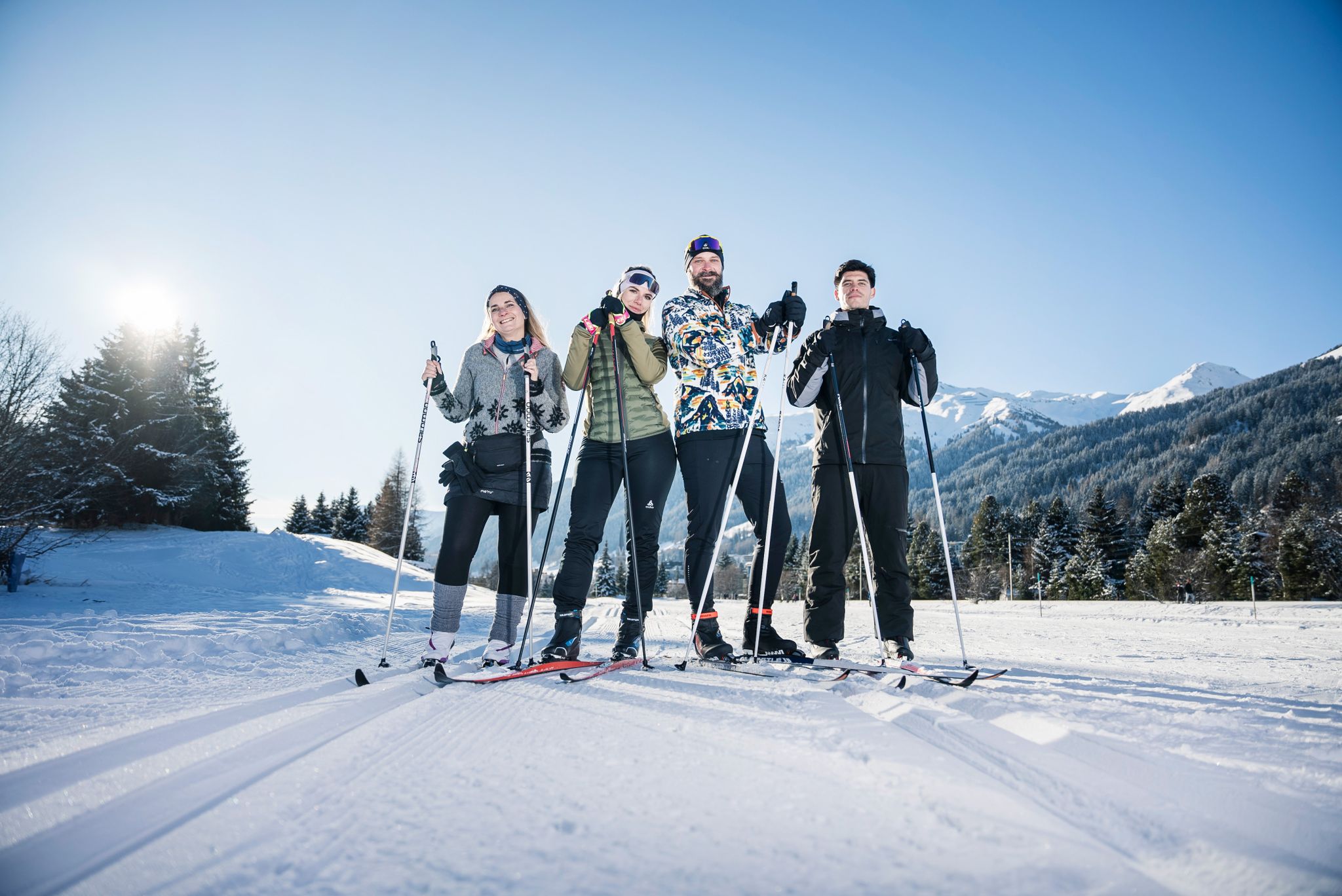
«Everyone runs long»: Cross-country ski trail tips from Graubünden

라인 자전거 도로는 발원지에서 북해까지
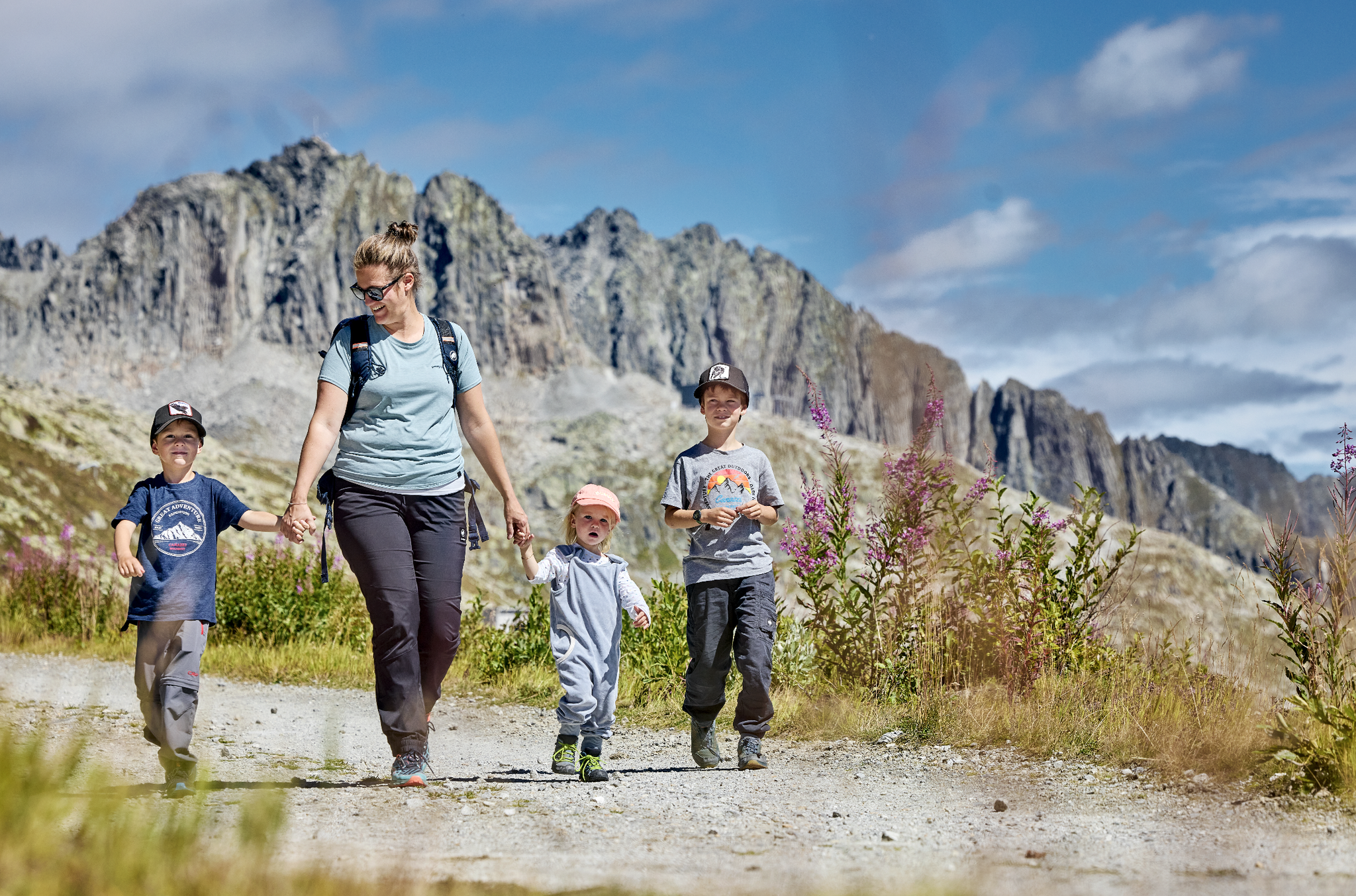
Mountain Playground – family adventures in Andermatt-Sedrun-Disentis
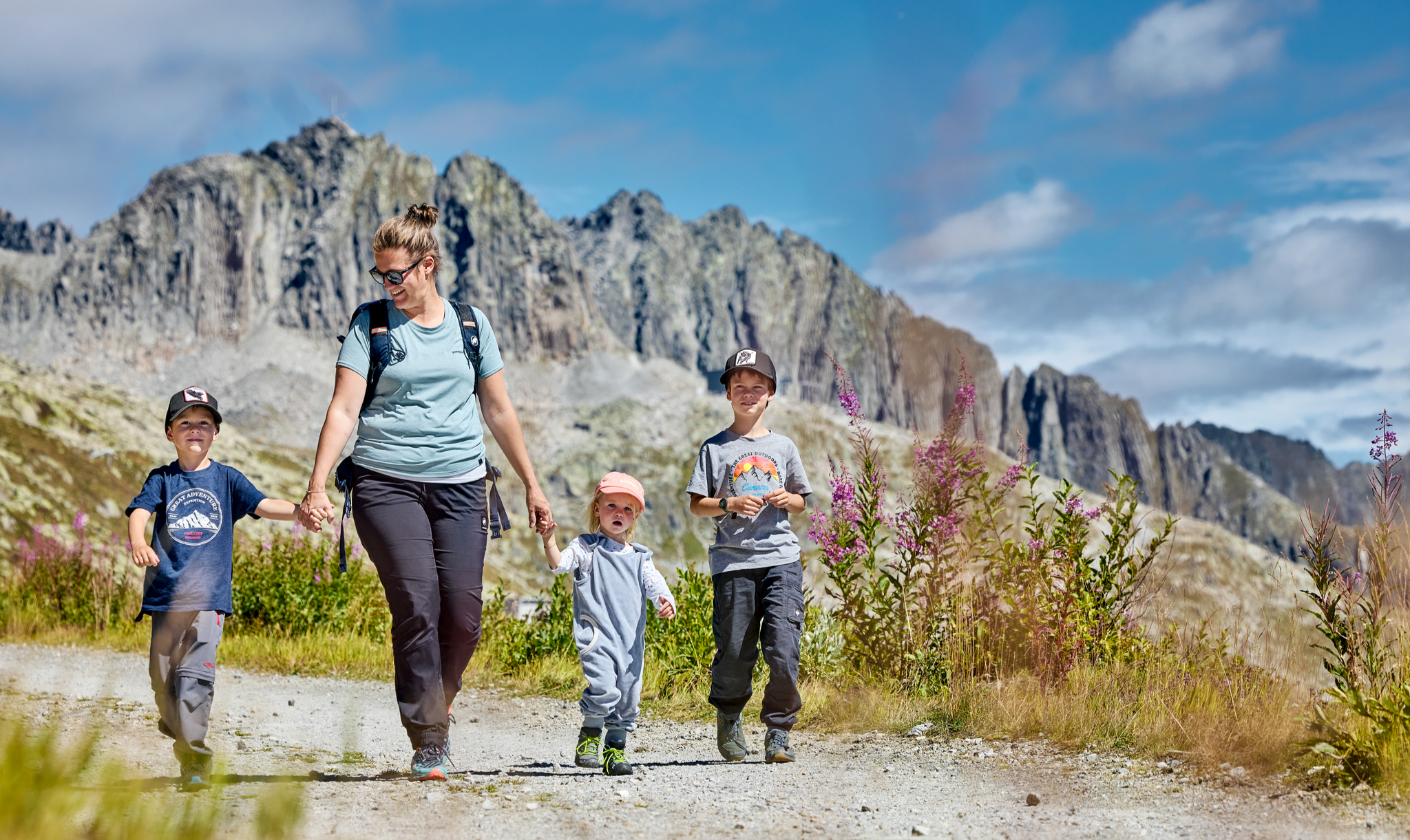
Mountain Playground – family adventures in Andermatt-Sedrun-Disentis
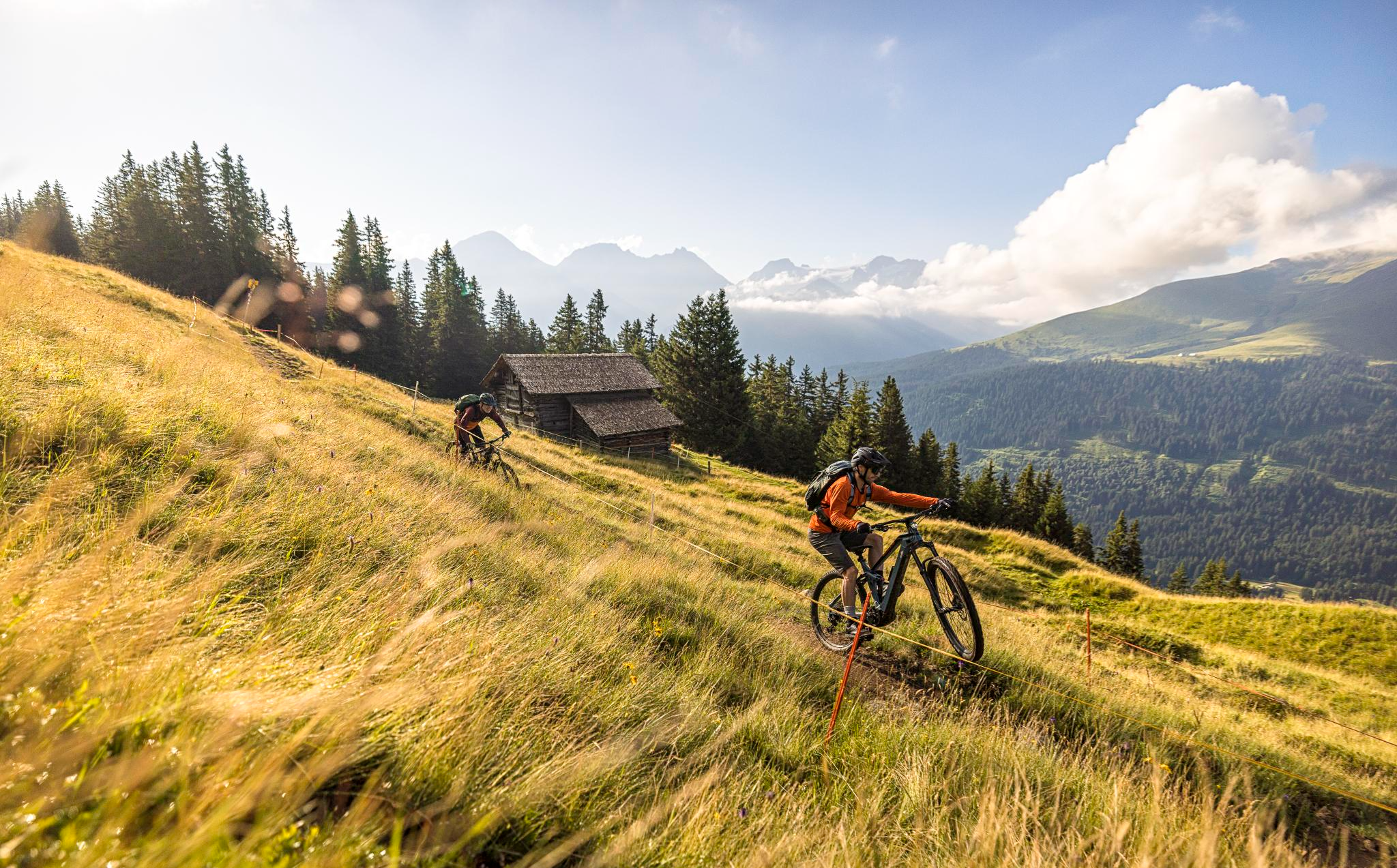
Flowy MTB trails with wonderful views – the best of Disentis Sedrun
Between water, rock and forest - Grischun Cultura Surselva
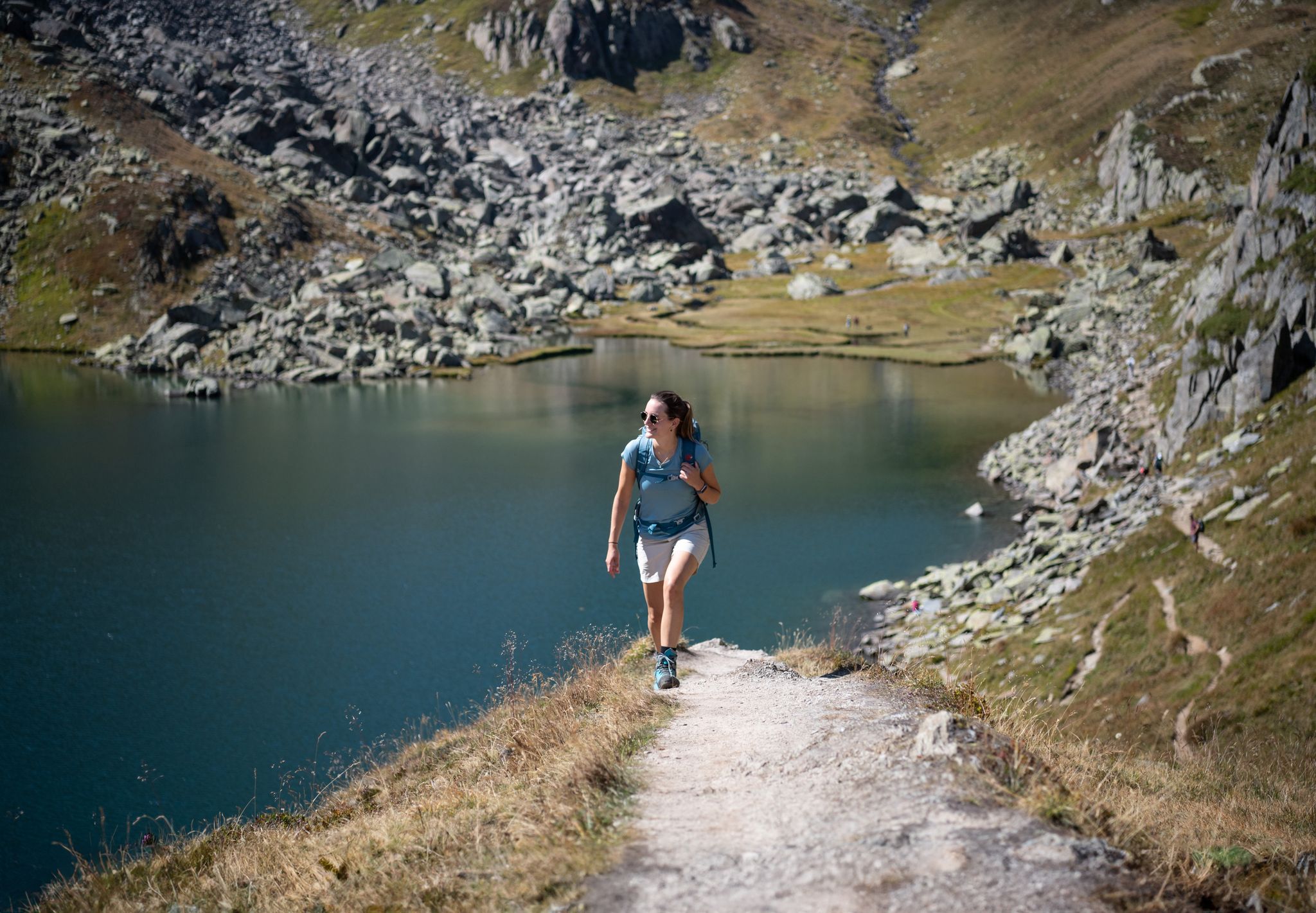
Varied hikes around the source of the mighty Rhine
글레이셔 바이크 투어의 큰 모험을 경험하세요
These 5 enduro bike tours will make you happy
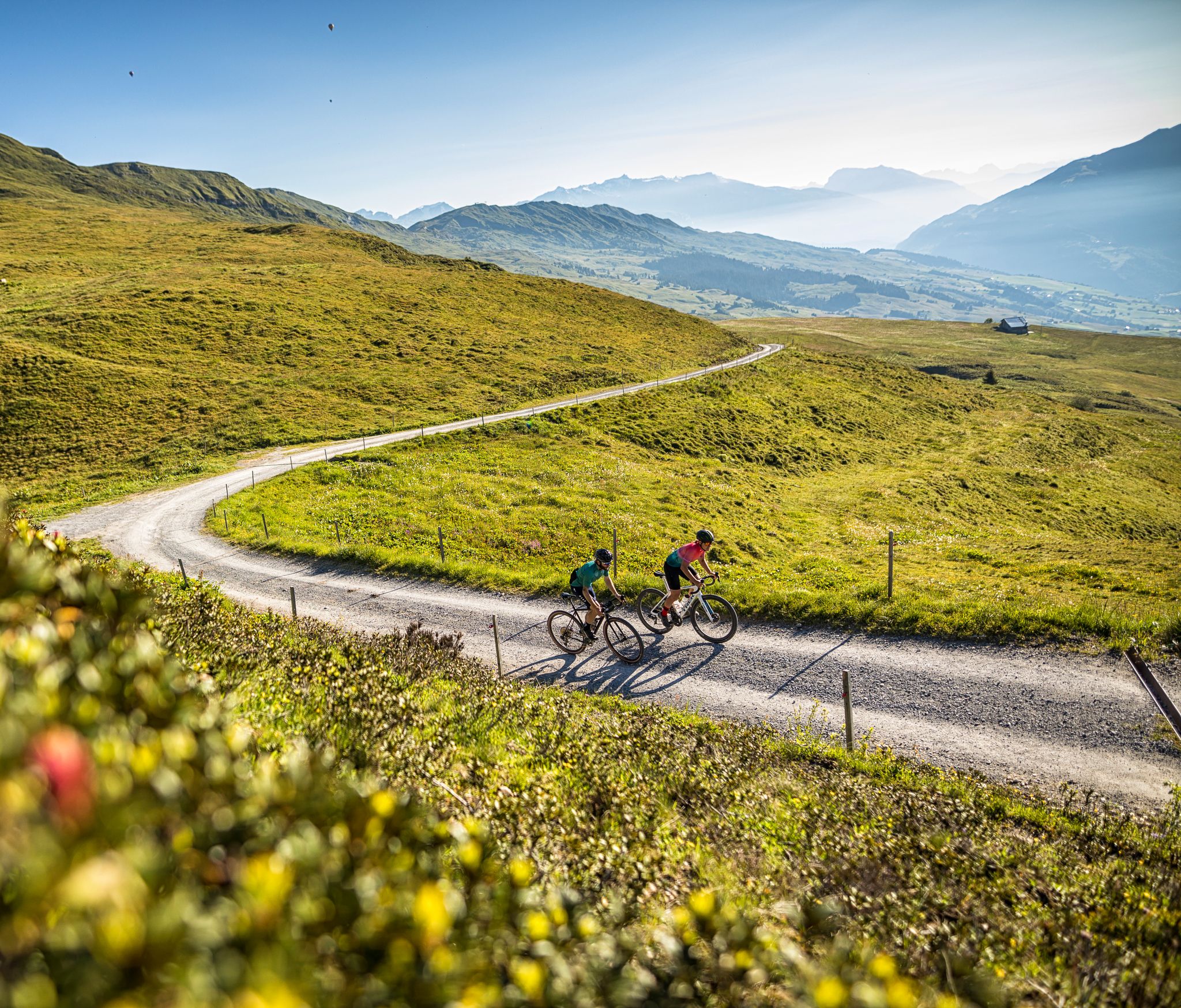
The six most beautiful gravel routes in Graubünden


커뮤니티 팁


우리는 오늘 2026년 8월 6일, 12시에 이곳에 있었고, 완전히 혼자였습니다. 가는 길에 아무도 만나지 못했습니다. 마법처럼 아름다웠습니다. Stalla 산장에서 맛있는 음식과 음료를 즐겼습니다. 현금 결제만 가능합니다.
1
0

오버알프 호수는 해발 2,028미터에 위치하며, 우리(Uri)와 그라우뷘덴(Graubünden) 사이의 오버알프 패스 바로 옆에 있습니다. 맑은 산악 호수는 포어더라인(Vorderrhein) 강의 발원지이며 하이커들에게 인기 있는 목적지입니다. 알프스 풍경으로 둘러싸여 있어 머물거나, 사진을 찍거나, 인상적인 산악 경관을 즐기기에 좋습니다.
7
0


Cold lake great for cooling feet and a great place to take a break with a view of the glacier and the mountains
1
0

Griessseeli is always beautiful. This time it wasn't frozen. The colors were more grayish. They change with the seasons.
1
0

The Muttsee (formerly Mutten See, Muttensee) is a reservoir on the Muttenalp in the southernmost part of the municipality of Glarus South in the canton of Glarus in Switzerland.
2
0
In 1957, the newly founded Kraftwerke Linth-Limmern AG (KLL) began to realize the power plants that had been planned since the beginning of the 1940s by the Nordostschweizerische Kraftwerke (NOK), into which the Muttensee was to be integrated.
2
0
디센티스/무스테르 주변에서 가장 인기 있는 명소


더 살펴보기
디센티스/무스테르 주변에서 완벽한 호수를 아직 못 찾으셨나요? 이 지역의 가이드를 확인하여 더 아름다운 장소를 찾아보세요.
