프랑스에서 가장 멋진 20개의 천연기념물
천연기념물을 방문하여 프랑스의 아름다운 풍경을 만나보세요. 프랑스에 있는 20
개의 천연기념물과 상세 정보를 살펴본 후에 방문하고 싶은 천연기념물을 다음 모험 계획에 추가해보세요!
마지막 업데이트: 9월 29, 2026
알트슐로스펠젠 (암석 통로 포함)
하이라이트 • 자연 기념물
번역자 Google •
팁에 의해


이런 장소를 발견하려면 지금 가입하세요
최고의 싱글 트랙, 봉우리 및 다양한 흥미로운 야외 장소에 대한 추천을 받아보세요.


분홍색 화강암 해안을 따라
하이라이트 • 기념물
번역자 Google •
팁에 의해


포르미우 칼랑크 전망
하이라이트 • 호수
번역자 Google •
팁에 의해

알트슈로스펠젠 트레일
하이라이트 (구간) • 자연 기념물
번역자 Google •
팁에 의해

무료로 가입하여 프랑스의 더 많은 자연 기념물을 발견하세요.
이미 komoot 계정이 있나요?
오늘 무료 계정으로 시작하세요
다음 모험이 기다리고 있어요.
프랑스 주변 인기 장소

트라이어슬롱 360 – 나의 세계 일주
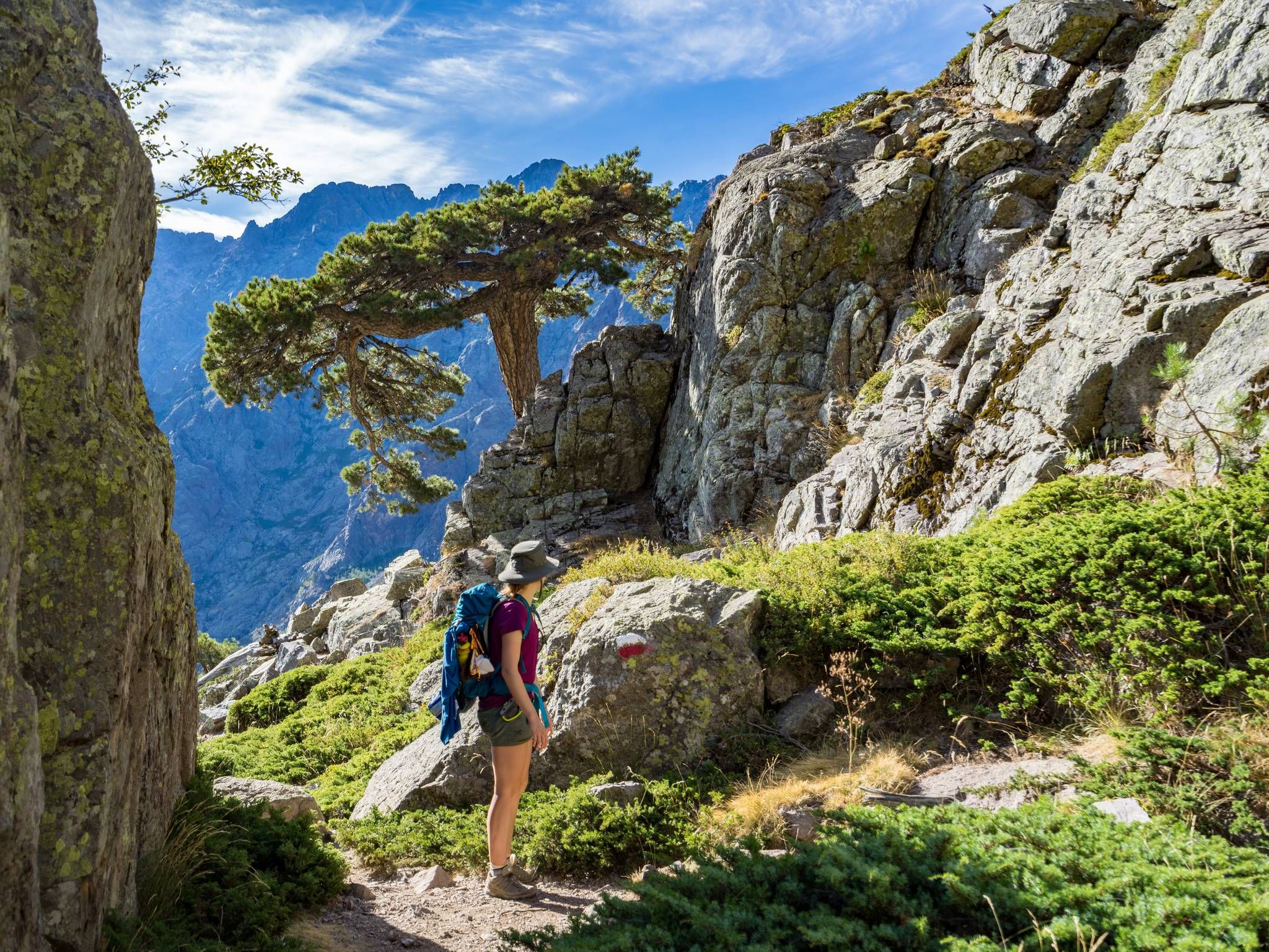
GR20을 따라 코르시카를 지나는 – 유럽에서 가장 힘든 장거리 하이킹 트레일

European Divide Trail — 7,600 km across the continent
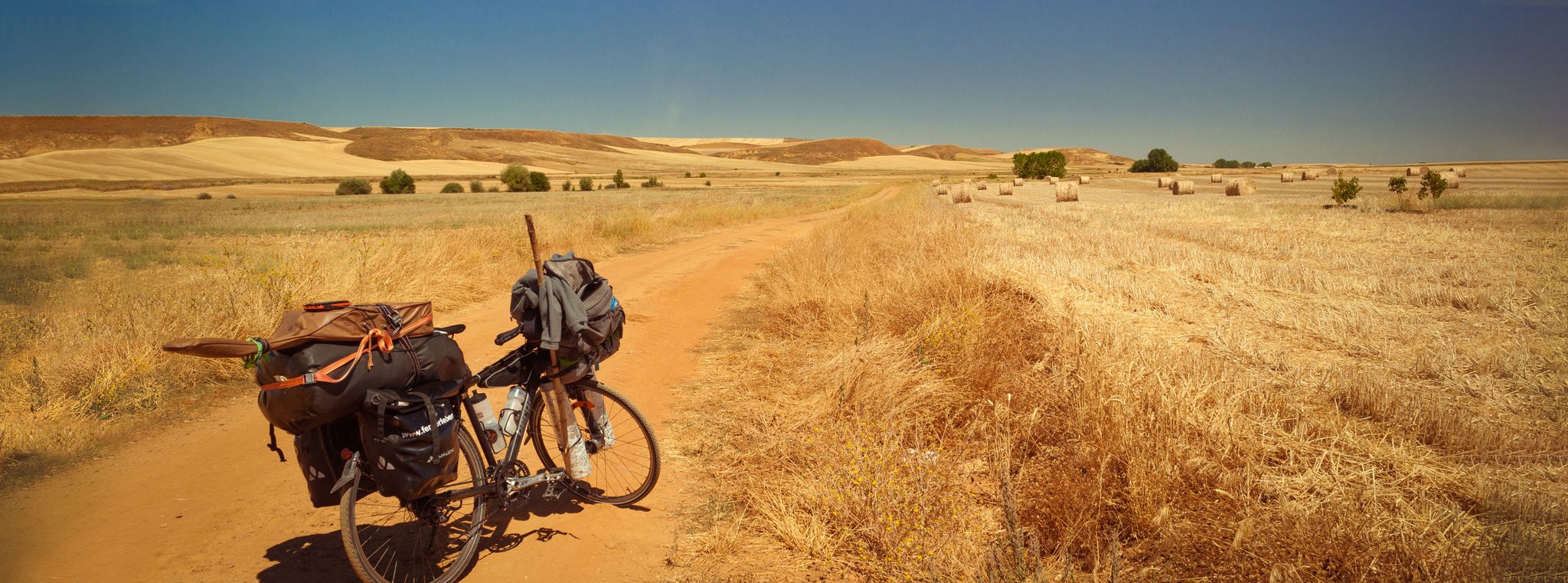
스페인의 자전거 순례 - 카미노 프랑체스와 카미노 피니스테레
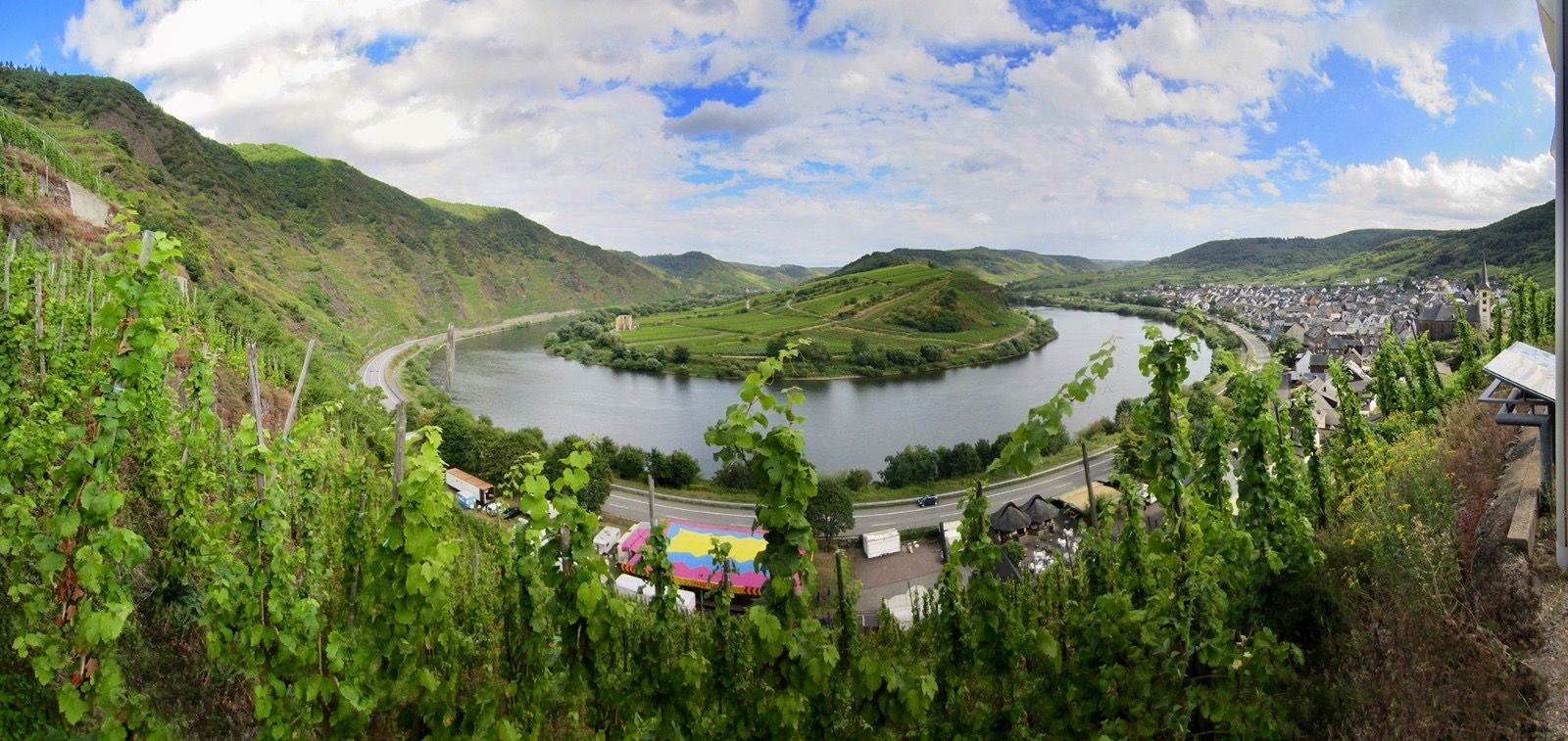
Moselle 사이클로 탐방로 — Vosges에서 Rhine까지 18 구간
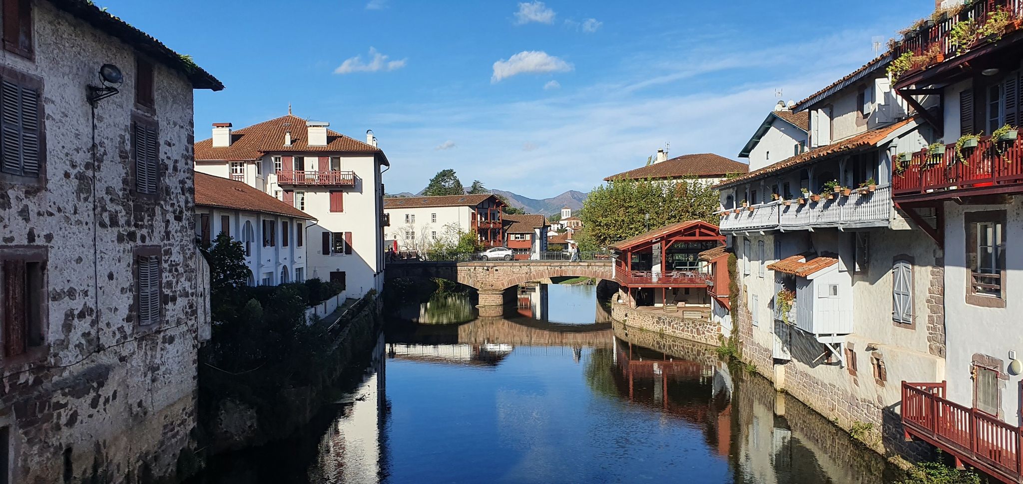
GR 65 생 자크 드 콤포스텔레 길 — 비아 제벤넨시스 및 비아 포디엔시스
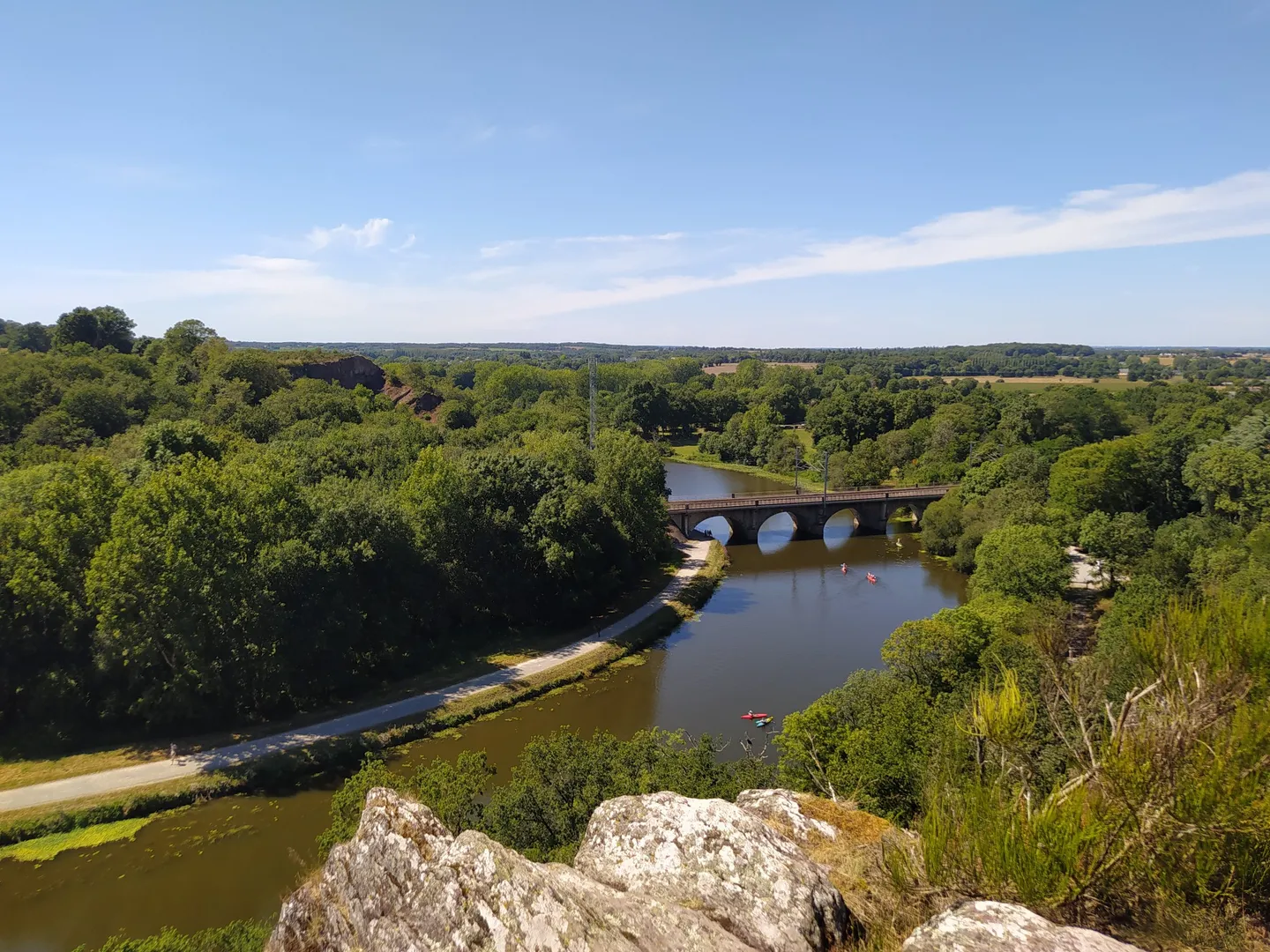
GR 39 — 브르타뉴의 역사적 흔적을 따라서
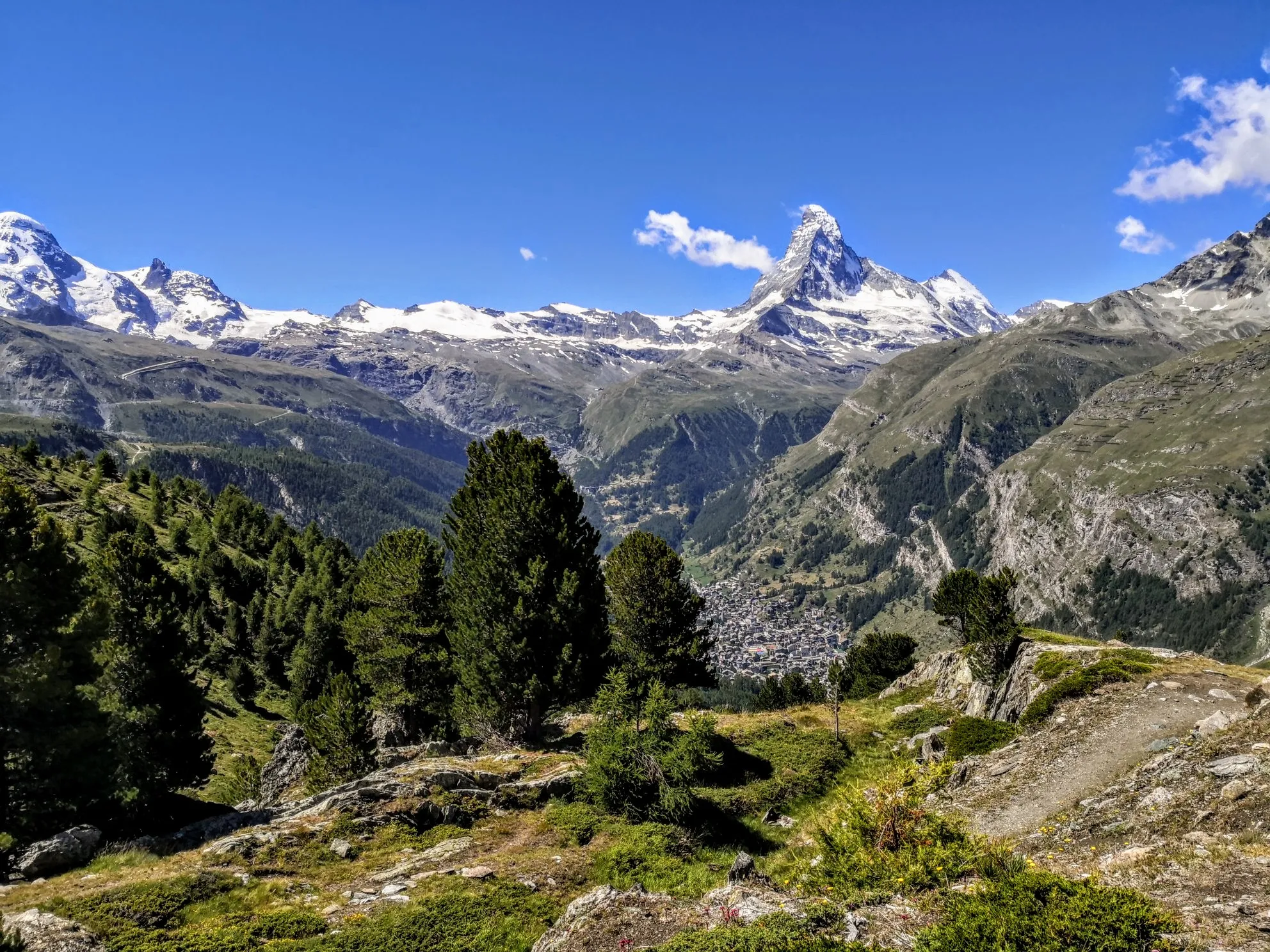
최고의 고산 모험 - 워커의 오트 루트
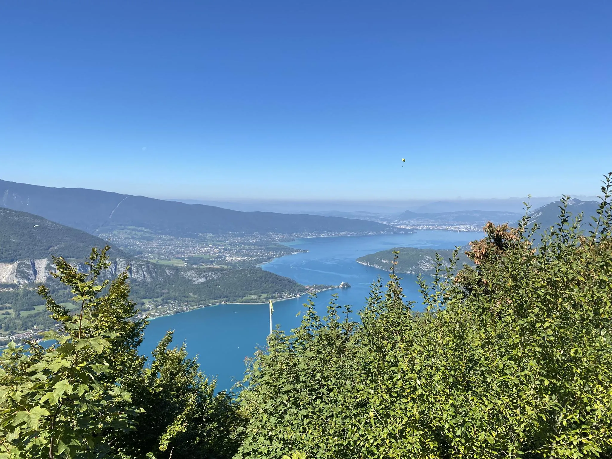
맥시레이스 - 안시 호수 주변 일주
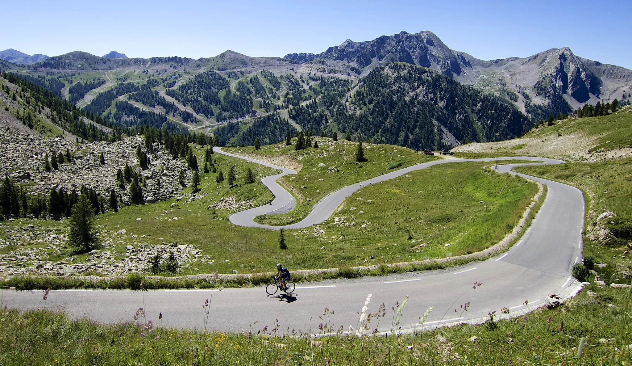
알프스를 정복하라 — 오트 루트 알프스 2025
프랑스의 다른 모험


커뮤니티 팁

아침 일찍이나 저녁에는 빛이 특히 아름답고 더 조용합니다. 저희는 정오에 갔기 때문에, 위치에 따라 바위에 빛이 강렬하거나 희미하게 비쳤습니다. 그럼에도 불구하고 멋진 자연 경험이었습니다. 튼튼한 신발을 추천합니다.
9
0

The Altschlossfelsen (also known as Eppenbrunn Castle) are a group of red sandstone rocks designated as a natural monument (ND) ND-7340-205 and a cultural monument (KD) in the municipality of Eppenbrunn in the Palatinate Forest on the border with France, and are the largest rock formation in the Palatinate. They are located on the eastern slope of the Brechenberg (406 m) near Eppenbrunn and Roppeviller at an elevation of approximately 365 m above sea level at the northeast end and 380 m above sea level at the southwest end of the rock band. The Altschlossfelsen are a group of red sandstone rocks approximately one and a half kilometers long and up to 30 meters high. The group consists of sandstone towers and walls. The Altschlossfelsen are crisscrossed by cracks and joints, some of which are wide enough to climb through. They are known primarily for their diverse weathering phenomena and rare lichens. The summit plateau can be reached from the north and south on narrow paths. There, you'll find a sparse forest and moss-covered rocks. A special lighting situation created by the sun, the "rock glow," is best seen around 7:00 p.m. in the first half of April, depending on weather conditions, vegetation, and the position of the sun. In the morning hours, the glow occurs around 8:45 a.m. Finds from the Hallstatt and Roman periods attest to earlier settlement of the rock group. In 1964, for example, shards from the La Tène period (c. 450–50 BC) were found. Traces of a medieval castle from the 11th or 12th century are found on the four main rocks. These include the remains of a stepped structure, post holes, remains of masonry, and notches for beams in the rock. A depression with a diameter of four meters is located on a rock, which may have served as a cistern. Additionally, on the southern and northern slopes around the rock formation, humped blocks, which may have originated from the structure of a former castle, as well as shards from the High Middle Ages were found in a wall groove. A more precise dating of the castle complex is difficult, as the castle was not mentioned before 1297 or later in the 1605 border description between Lorraine and the County of Hanau-Lichtenberg. Source: https://de.wikipedia.org/wiki/Altschlossfelsen
5
0

The Phare de Mean Ruz, also known as the Ploumanac'h Lighthouse, is one of the most famous landmarks of Brittany's Pink Granite Coast. The original tower was built in 1860, but was destroyed during World War II and rebuilt in 1946 in its original form. Since 1948, it has once again emitted its signature flashing red light across the sea, visible for up to 11 nautical miles. At approximately 15 meters high, the lighthouse marks the entrance to Ploumanac'h Bay. Unfortunately, access to the lighthouse is closed to the public.
2
0
The Ploumanac'h Lighthouse (Phare de Mean Ruz) is nestled among the striking pink granite cliffs. Built in 1946 from pink granite, it serves to ensure navigation by marking dangerous coves and cliffs. At approximately 15 meters high, the square tower is a popular photo subject and a typical stop for hikers on the historic Sentier des Douaniers (Customs Officers' Trail). Other nearby attractions include the Château du Diable and the Petite Baie de Ploumanac'h.
1
0

The current lighthouse was built in 1946 to replace the original 1860 lighthouse that German forces destroyed in August 1944, with architects required to harmonize the design with the protected surrounding landscape. The lighthouse features interior mosaics created by renowned Rennes artist Isidore Odorico and offers panoramic views of Costaérès Castle and the Seven Islands archipelago.
1
0

A beautiful hiking trail along the historic rock formations near the border
4
0

A very beautiful path directly along the rocks.
3
1

Largest connected group of rocks north of the Alps, approx. 1.5 km long and over 30 meters high. A must-see
3
0


찾고 계신 것을 찾지 못하셨나요?
지역별 최고의 하이라이트를 확인하여 프랑스의 더 놀라운 자연 기념물을 찾아보세요:
더 살펴보기
프랑스의 최고의 동굴을 찾기 위해 이 가이드를 확인해보세요:
