신트 안토니스보스 최고의 워킹 & 하이킹 경로
4.4
(3277)
15,934
등산객
64
하이킹
신트 안토니스보스에서 최고의 하이킹과 워킹을 찾으시나요? 그렇다면 아름다운 노스 브라반트 자연공원 주변에 있는 경로 컬렉션을 아래에서 살펴보세요. 신트 안토니스보스에 있는 하이킹 트레일 중에서 마음에 드는 곳을 선택해 언제든지 야외 활동을 하면 돼요.
마지막 업데이트: 8월 31, 2026
4.5
(95)
538
등산객
9.48km
02:23
10m
10m
보통 하이킹. 좋은 체력 필요. 실력과 관계없이 누구나 쉽게 갈 수 있는 길.
4.7
(78)
428
등산객
14.7km
03:42
20m
20m
보통 하이킹. 좋은 체력 필요. 실력과 관계없이 누구나 쉽게 갈 수 있는 길.

무료 회원 가입
4.5
(64)
440
등산객
7.22km
01:49
10m
10m
초급용 하이킹. 모든 체력 수준에 적합. 실력과 관계없이 누구나 쉽게 갈 수 있는 길.
4.6
(26)
169
등산객
4.69km
01:11
0m
0m
초급용 하이킹. 모든 체력 수준에 적합. 실력과 관계없이 누구나 쉽게 갈 수 있는 길.
4.7
(26)
105
등산객
9.33km
02:21
10m
10m
보통 하이킹. 좋은 체력 필요. 실력과 관계없이 누구나 쉽게 갈 수 있는 길.
더 다양한 경로와 다른 탐험가들의 추천을 살펴보세요.
무료 회원 가입
이미 komoot 계정이 있나요?
투어 추천은 다른 사람들이 komoot에서 완료한 수천 개의 활동을 바탕으로 구성되어 있습니다.
오늘 무료 계정으로 시작하세요
다음 모험이 기다리고 있어요.
로그인 또는 가입하기

커뮤니티 팁


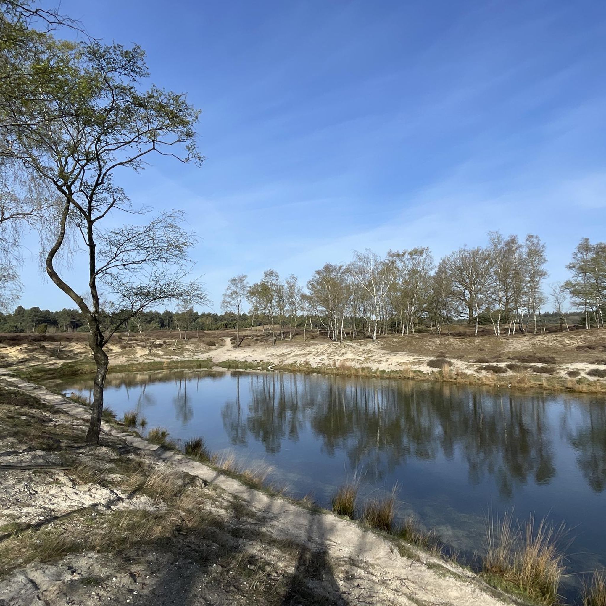
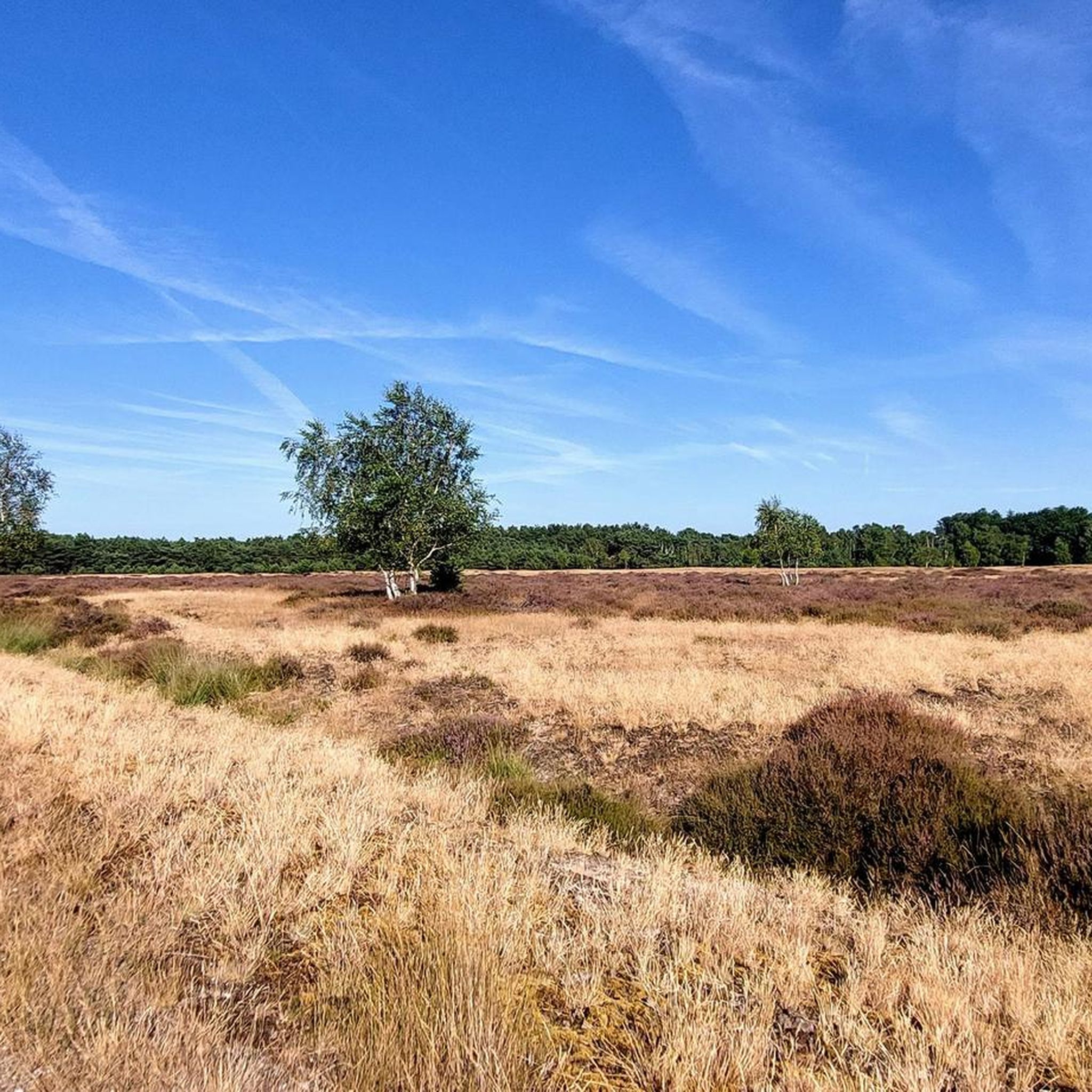
beautiful panoramic views with sand drifts
0
0
in the middle of the forest an old dilapidated forest ranger hut with a stone well
0
0
paved forest path also used by cyclists in a beautiful environment
0
0
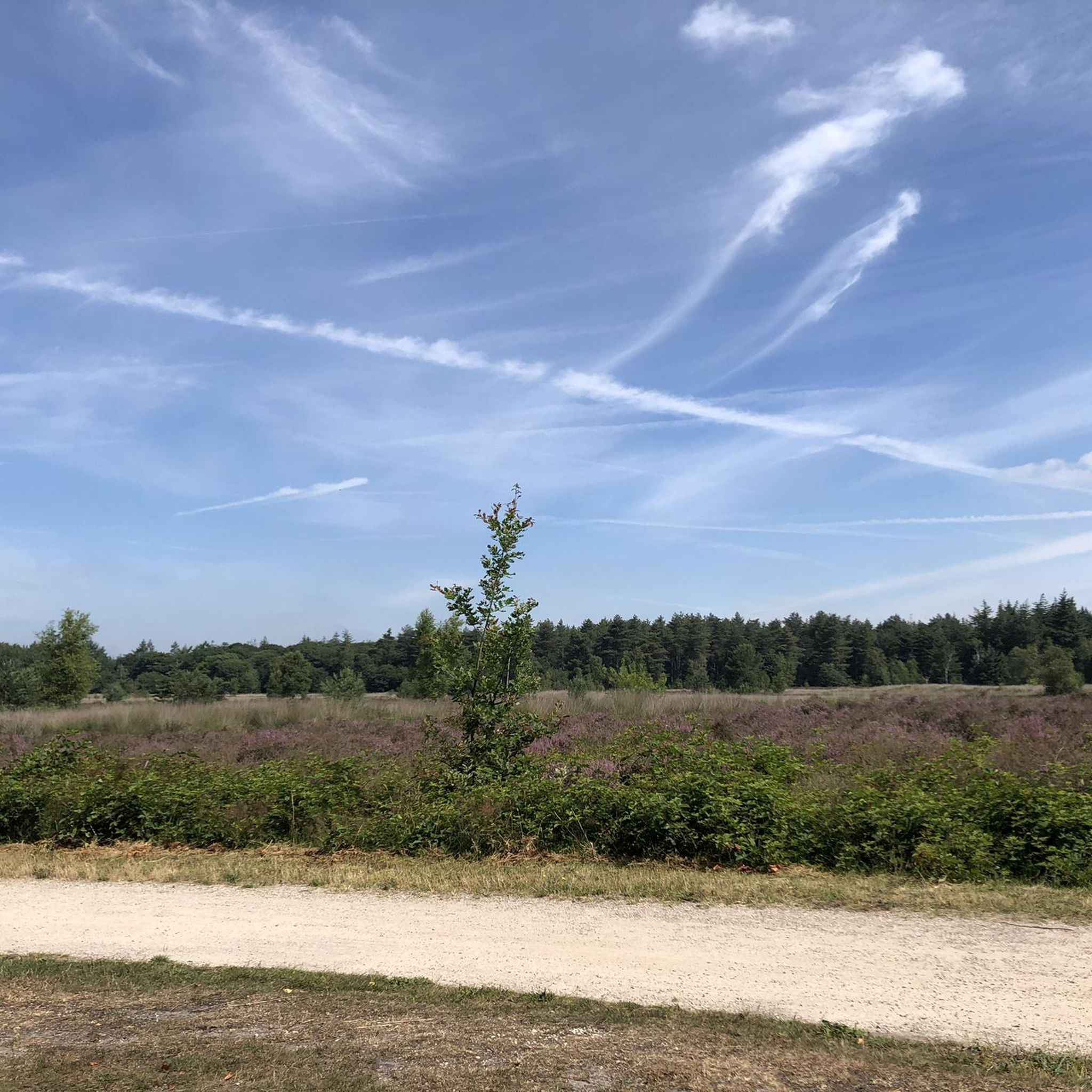
wide forest paths forest ranger's forest
0
0

In Sint Antonis, at the nature gate (the parking lot of the Witches' Tree on the edge of the State Forests), the groundwater meter is located. The groundwater meter shows whether the shallow groundwater level at a specific location is higher, normal, or lower than average for that time of year. Groundwater is water that has seeped into our soil through precipitation, ditches, lakes, and rivers. It is essential for healthy nature and agriculture. Deeper groundwater is also the main source of our drinking water. The groundwater meter uses three different colors to indicate whether the shallow groundwater level at a location is higher (blue), normal (green), or lower (red) than average. The groundwater meter consists of a tube that is partially buried in the groundwater. Above ground, a long tube is visible, indicating the groundwater level thanks to its underground construction. The colors help us understand whether we are in a (too) dry (red) or wet (blue) situation.
1
0


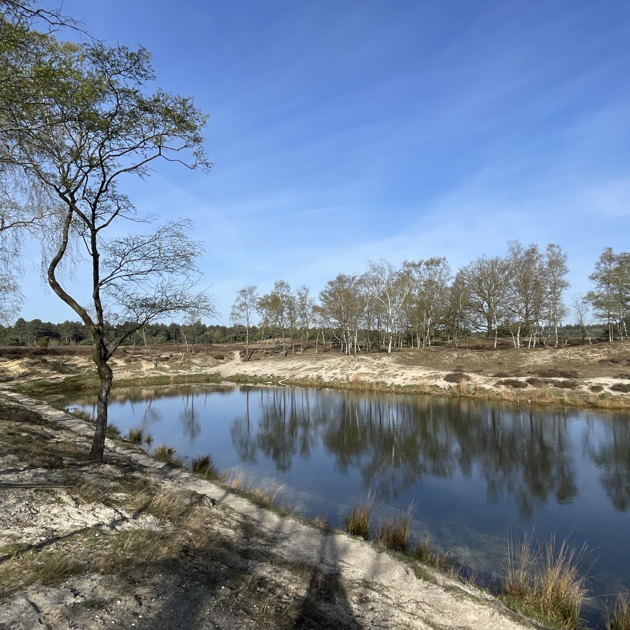
On a beautiful sunny day in April did this hike. Beautiful walk with lots of variety and great nature. Only downside is that there are hardly any benches to rest.
0
0
신트 안토니스보스 주변에서 가장 인기 있는 명소


더 살펴보기
다른 지역의 최고의 하이킹를 살펴보세요.
