ヴェルナースベルクのおすすめランニングルート
4.4
(226)
2,244
ランナー
15
ランニング
ヴェルナースベルクでランニングを楽しめば、このエリアをより深く知ることができます。ランニングに適した美しいルートが見つかるように、komootがヴェルナースベルクでのルートのコレクション全体を評価して選び抜いた、人気ランニングトレイルをご紹介します。ルートをクリックして詳細を表示し、他のユーザーがアップロードした役立つ情報や写真を閲覧しましょう。
最終更新日: 9月 11, 2026
5.0
(2)
47
ランナー
11.9km
01:22
250m
250m
中程度のジョギング. ある程度のフィットネスレベルが必要です。 全般的に舗装された状態です。あらゆるスキルレベルに適しています。
5.0
(1)
33
ランナー
6.11km
00:40
100m
100m
難しいジョギング. ある程度のフィットネスレベルが必要です。 安定して歩行できる技術、丈夫な靴、高標高地での登山経験が必要です。

4.5
(2)
18
ランナー
14.2km
01:43
350m
350m
難しいジョギング. 標準以上のフィットネスレベルが必要です。 安定して歩行できる技術、丈夫な靴、高標高地での登山経験が必要です。
16
ランナー
24.1km
02:38
300m
290m
難しいジョギング. 標準以上のフィットネスレベルが必要です。 安定して歩行できる技術、丈夫な靴、高標高地での登山経験が必要です。
15
ランナー
10.6km
01:24
390m
400m
難しいジョギング. 標準以上のフィットネスレベルが必要です。 安定して歩行できる技術、丈夫な靴、高標高地での登山経験が必要です。
さらに多くのルートや他のユーザーのおすすめ情報を確認できます。
すでにアカウントをお持ちですか?
おすすめのツアーは他のkomootユーザーが実際に経験した何千ものアクティビティに基づいています。
無料アカウントで今日から始めよう
次の冒険が待っています。


コミュニティからのヒント

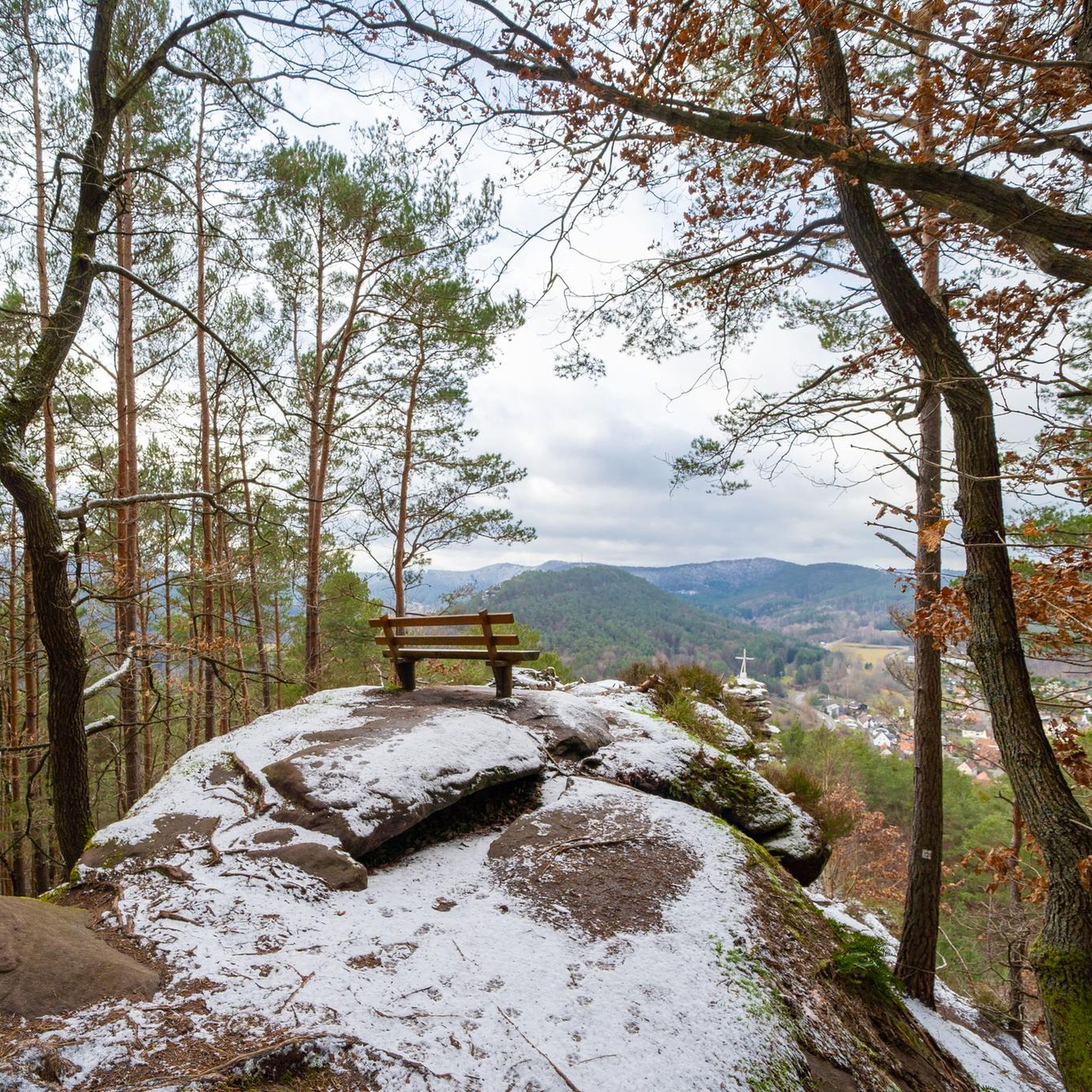
美しい景色と、Wachtfelsへ向かう途中にある3つの城、そしてRödelsteinとHeimelsteinを越えていく最後の景色ではありません。
0
0


教会の裏には墓地があり、教会の隣には霊安室があります。
0
0

In dense fog, one's attention is drawn to the small things; no less beautiful!
1
0

The view of the Trifels is omnipresent in Annweiler.
0
0

The Rötzenberg near Gossersweiler in the Southern Palatinate district of Weinstraße is a 459.1 m above sea level mountain in the northern Wasgau region of the Palatinate Forest. Numerous red sandstone rock formations are found on it. The Rötzenberg is located in the Palatinate Forest Nature Park, a typical Wasgau conical hill in the northern part of the Dahner Felsenland and the Wasgauer Felsenland. Its summit rises 1.1 km west-southwest of Gossersweiler, the larger district of the municipality of Gossersweiler-Stein, to whose district the mountain belongs. North of the almost entirely forested mountain rises the Triebborn stream, which drains via the Rimbach into the Queich, a tributary of the Rhine. To the south, the Klingbach stream flows directly into the Rhine plain and flows into the Rhine via the Michelsbach. The most important rock formations of the Rötzenberg are the Isselmannsteine on the north side and the imposing Rötzenfels south of the summit, which reaches a considerable height of up to 55 meters. From the rocky plateau, which can be climbed via a hiking trail (Dimbacher Buntsandstein-Höhenweg), there are excellent views to the south over the entire Wasgau region, with the Lindelbrunn ruins in the foreground, as well as to the northeast to the Rehberg, the Ebersberg, the Asselstein, and the Reichsburg Trifels. The Rötzenberg can be reached via marked hiking trails from the east, such as the Staudernheim–Soultz-sous-Forêts long-distance trail from Gossersweiler, from the north from Dimbach, and from the south from Lindelbrunn. It is traversed by the "Dimbacher Buntsandstein-Höhenweg" circular hiking trail, which was certified as a premium trail by the German Hiking Institute and inaugurated in 2013. Source: https://de.wikipedia.org/wiki/R%C3%B6tzenberg
0
0

Impressive sculpture commemorating the brothers Carl-August and Anton Seibel, who founded Hauenstein's first shoe factory here in 1886.
0
0

komootモバイルアプリでインスピレーションを得よう


さらに探索
他の地域の最高のランニングトレイル & ルートを見てみましょう。
