ヴァルケンブルク・アーン・デ・カウルのおすすめウォーキング&ハイキングルート
4.5
(7786)
32,955
ハイカー
408
ハイキング
ヴァルケンブルク・アーン・デ・カウル周辺でのハイキングは、景色を満喫するのに最適な手段のひとつですが、適切なハイキングルートを見つけることは簡単ではありません。 ヴァルケンブルク・アーン・デ・カウル周辺の人気ハイキング&ウォーキングコースを参考にすれば、行きたいルートをすぐに見つけられます。
最終更新日: 9月 11, 2026
4.6
(383)
1,288
ハイカー
7.34km
02:00
100m
100m
初級者向けハイキング. あらゆるフィットネスレベルに適しています。 進みやすいルートです。あらゆるスキルレベルに適しています。
4.6
(394)
1,296
ハイカー
7.61km
02:07
140m
140m
中程度のハイキング. ある程度のフィットネスレベルが必要です。 進みやすいルートです。あらゆるスキルレベルに適しています。

4.2
(13)
57
ハイカー
10.6km
02:51
140m
130m
中程度のハイキング. ある程度のフィットネスレベルが必要です。 進みやすいルートです。あらゆるスキルレベルに適しています。
4.7
(210)
737
ハイカー
23.0km
06:18
350m
350m
難しいハイキング. 標準以上のフィットネスレベルが必要です。 進みやすいルートです。あらゆるスキルレベルに適しています。
4.6
(365)
1,173
ハイカー
11.8km
03:12
160m
160m
中程度のハイキング. ある程度のフィットネスレベルが必要です。 進みやすいルートです。あらゆるスキルレベルに適しています。
さらに多くのルートや他のユーザーのおすすめ情報を確認できます。
すでにアカウントをお持ちですか?
おすすめのツアーは他のkomootユーザーが実際に経験した何千ものアクティビティに基づいています。
無料アカウントで今日から始めよう
次の冒険が待っています。
ヴァルケンブルク・アーン・デ・カウル周辺で人気
ヴィア・コリオバルム - ホランドの南リムブルク地方の巡礼
ʼs-ホルトゲンボスヒュからマーストリヒュト(そしてそれ以上)– ペルグリムロード第2部
南部の周月関がる-な二日の南部は南部の南部のがる
Railrunnerルート - 駅から駅への15のハイキング
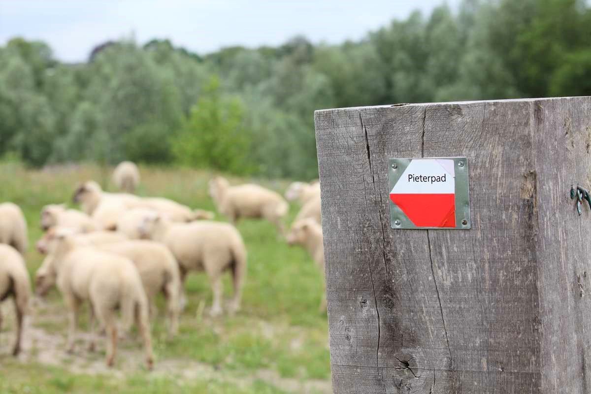
ヴォルデン城からピーテルベルグまで – ピーテルパット部分2
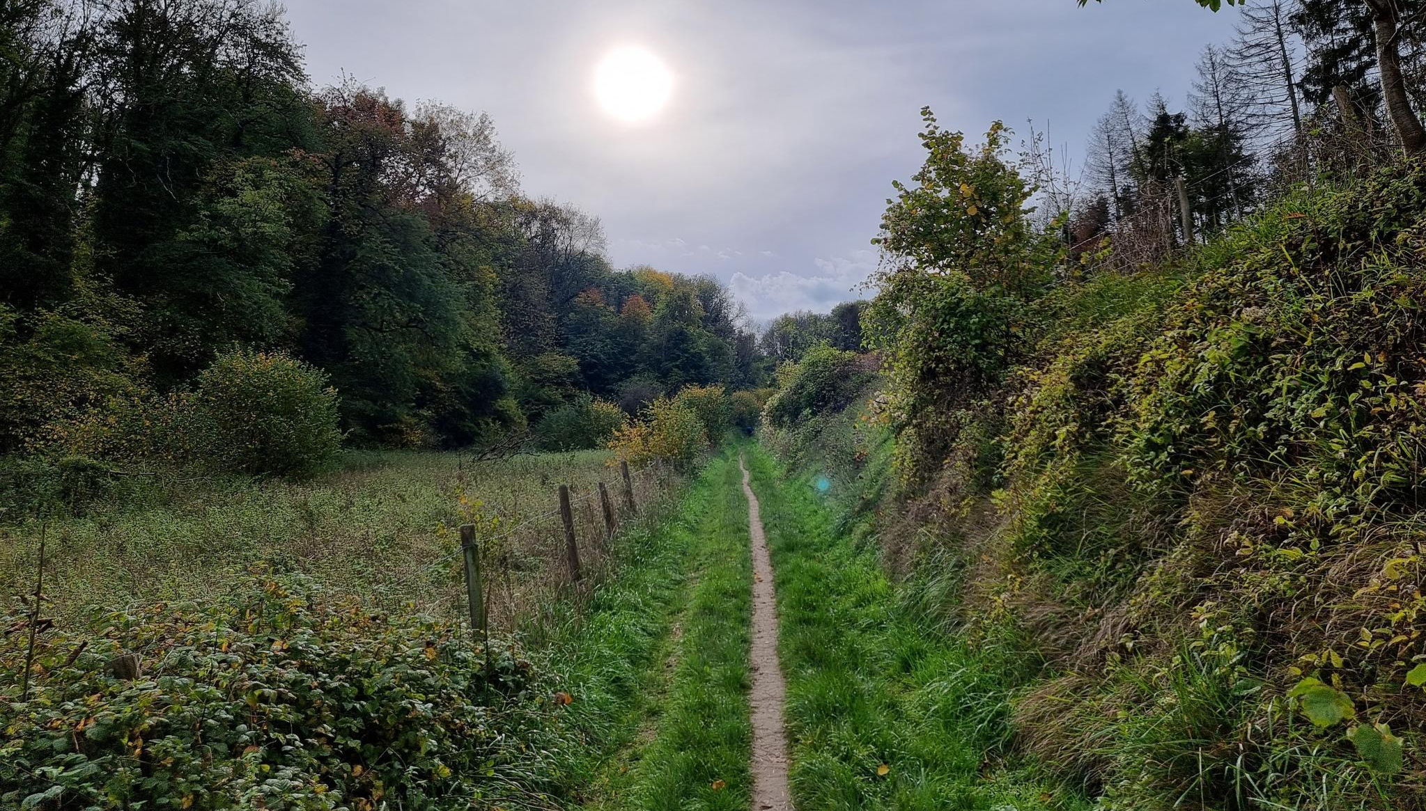
デ リンブルフ200 MTB ウルトラ – エーン エフテ マウンテンバイク チャレンジ
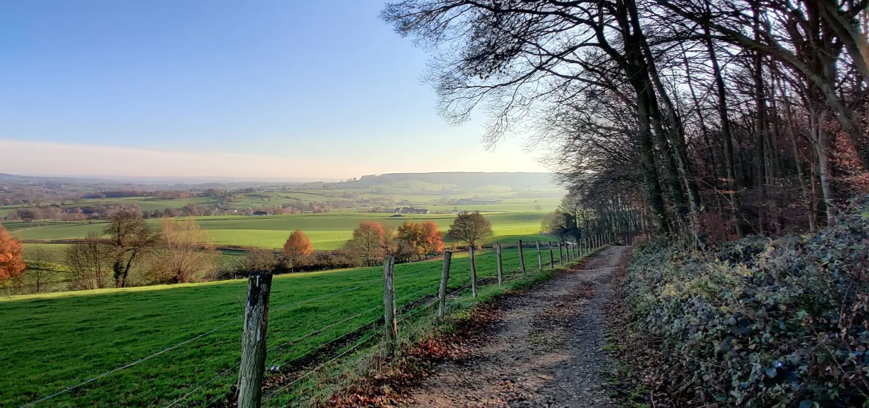
二日間のグラベル・ヘウフェラントを通る– Limburg200 Gravel
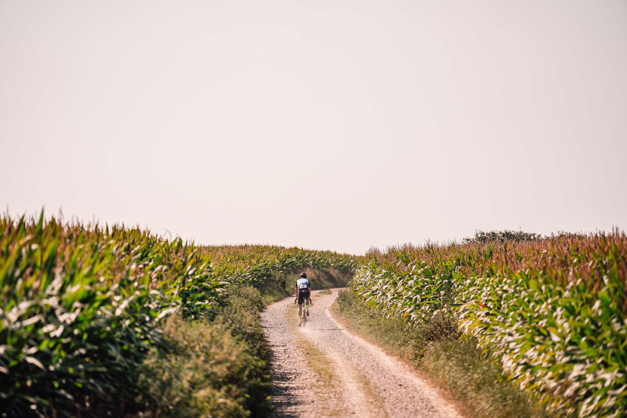
Gravel - Shimano EC Valkenburg
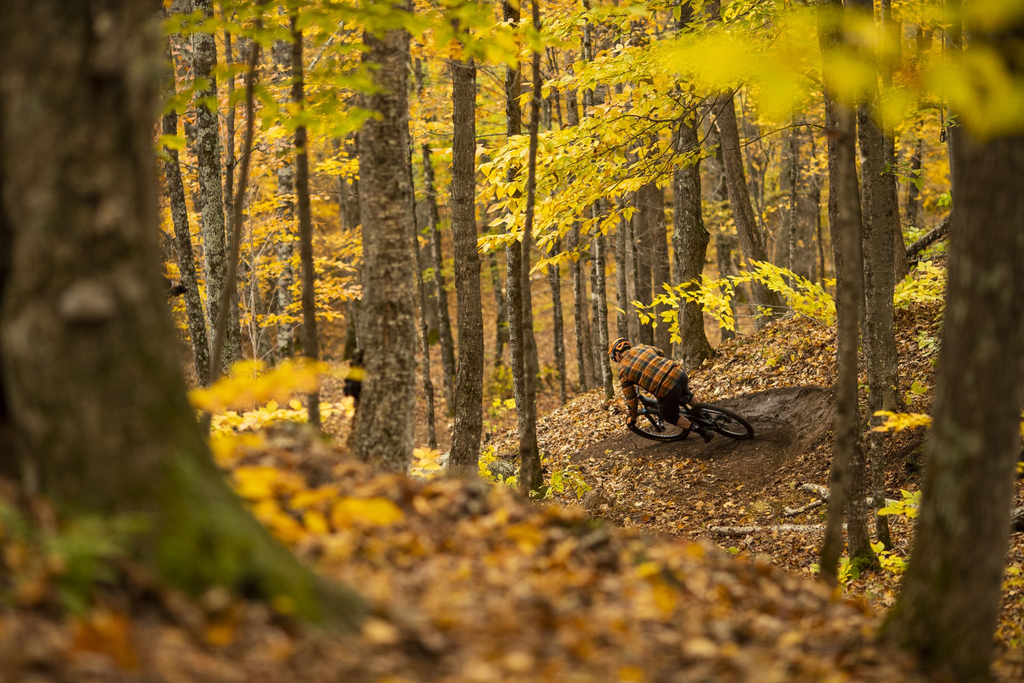
MTB - Shimano EC Valkenburg
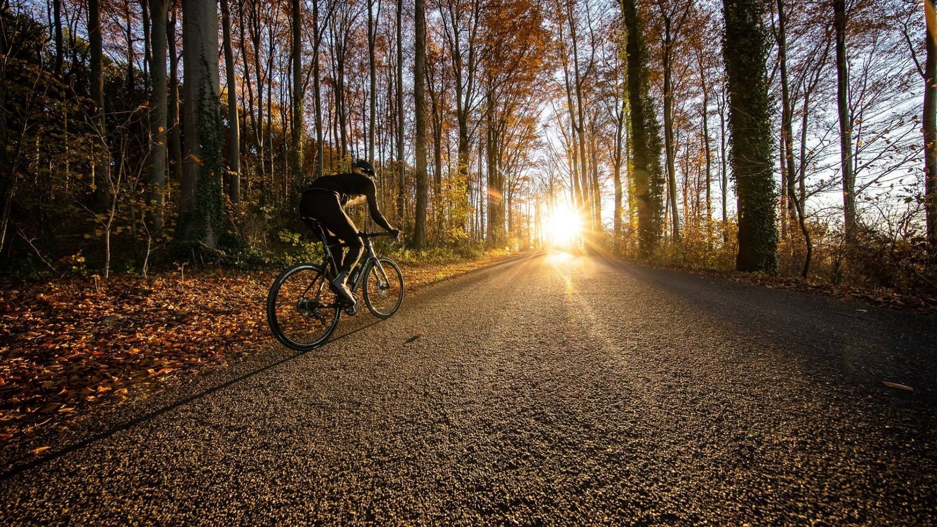
Race - Shimano EC Valkenburg
ヴァルケンブルク・アーン・デ・カウルでのの他の冒険


コミュニティからのヒント


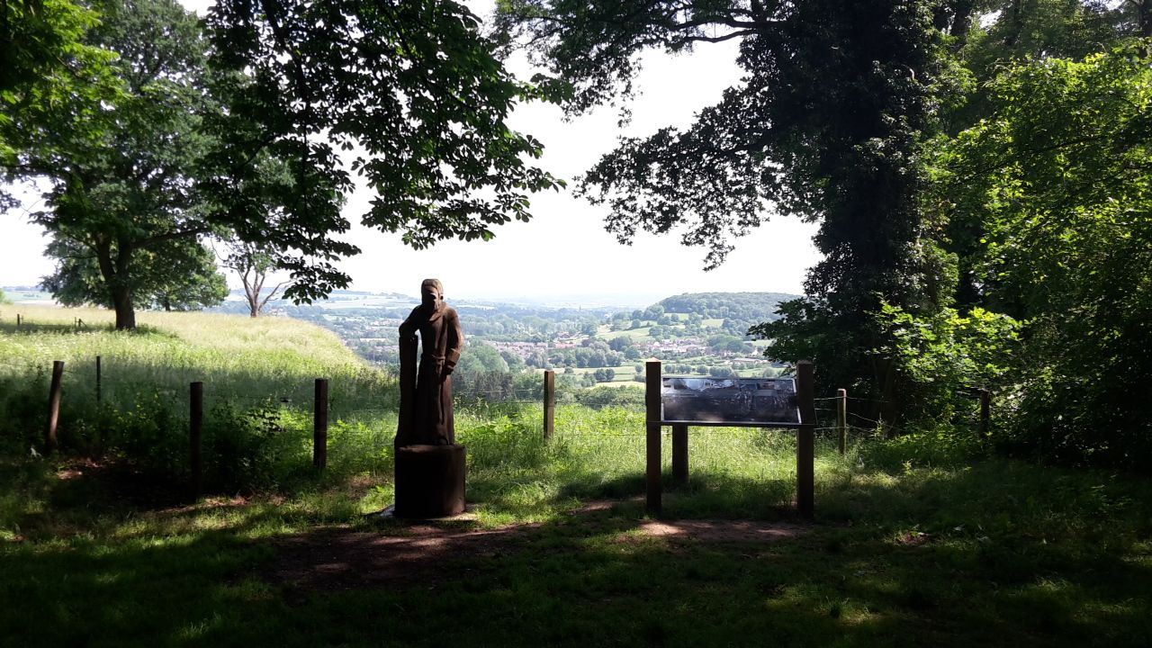
Beautiful view over the hilly countryside (L)
0
0

Along the rippling Geul River, an impressive marlstone wall rises, a silent witness to Limburg's underground landscape. These calcareous rocks were used for centuries for construction and crafts and now offer a fascinating sight for hikers and nature lovers. The wall forms a natural boundary along the water and, in some places, harbors small caves and niches where flora and fauna have found a home. The contrast of the white marl against the green foliage and the glistening water of the Geul makes this a particularly photogenic and tranquil spot during your walk.
0
0
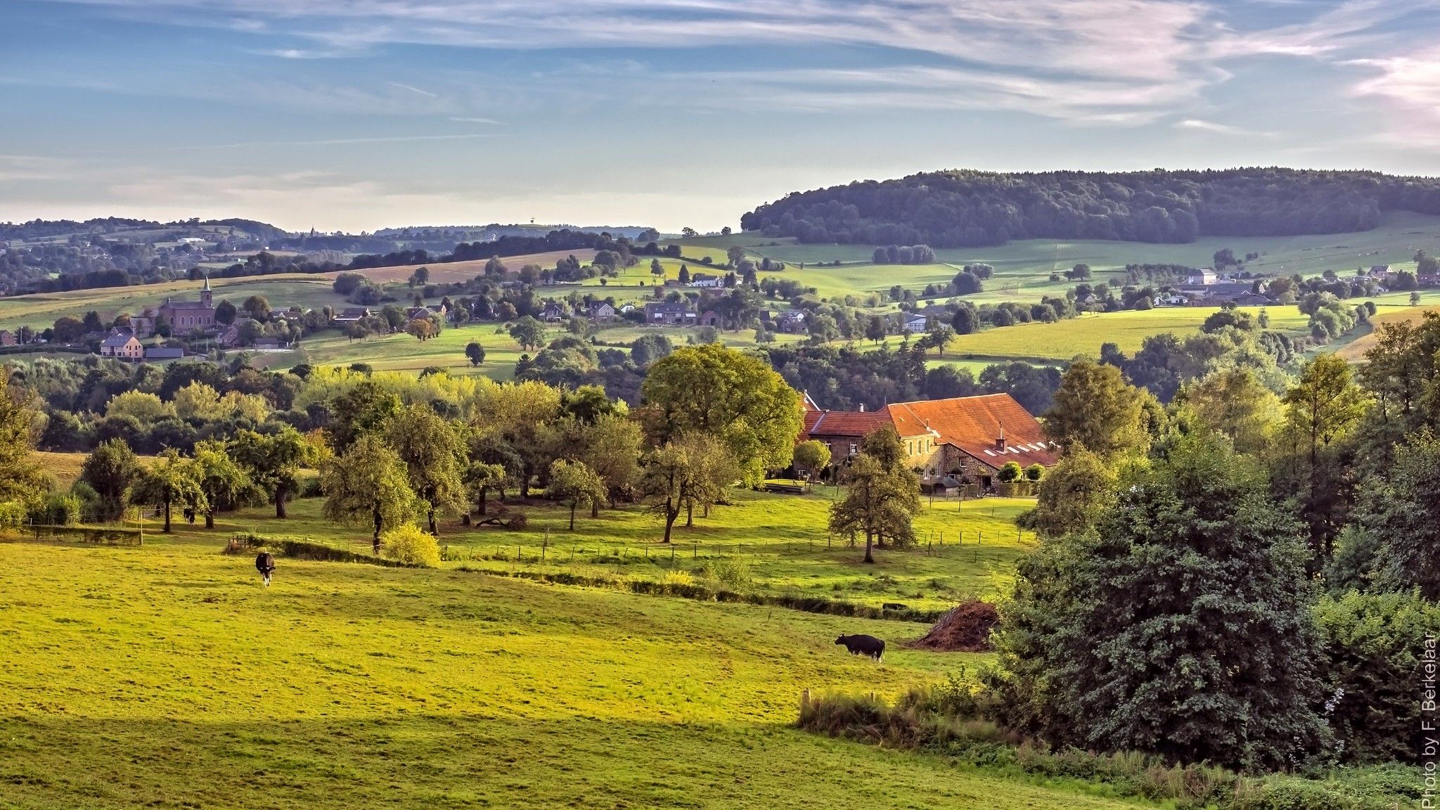
From this vantage point, you have a magnificent view of the Geul Valley, where forests, meadows, and meandering streams create a picturesque landscape. The valley exudes tranquility and history, with its ancient villages, fields, and hills that typify the typical Limburg hills. The view changes with the seasons: in spring, wildflowers bloom along the banks, in summer the Geul reflects the sun's rays, and in autumn, the valley takes on warm shades of gold and red.
1
0
The Geul Valley is one of the most beautiful and characteristic landscapes in South Limburg. Here, the Geul meanders like a silver ribbon through green meadows, sloping forests, and flower-filled grasslands. The valley exudes tranquility and history: it is a landscape shaped over the centuries by water, man, and nature. Along the river lie countless old watermills, once the beating heart of the Limburg countryside. Mills such as the Volmolen, the Geulhemermolen, and the Schaloensmolen recall a time when flowing water brought not only life but also labor and crafts. Some mills are still in operation, while others have been lovingly restored into cafés, homes, or museums… all with the rhythm of the Geul as a backdrop.
0
0
The Geul is one of the most characteristic rivers in South Limburg. It rises in Belgium near the village of Lichtenbusch and then winds for approximately 58 kilometers through the Limburg hills before flowing into the Meuse near Bunde. Along the way, the Geul forms the heart of numerous nature reserves, such as the Geul Valley Ingendael and the Gerendal, and flows past charming villages like Valkenburg Meerssen and Epen. What makes the Geul so special is its natural course… it is allowed to meander freely, constantly creating new bends, gravel banks, and levees. This dynamic attracts countless animals, from kingfishers to brook lampreys, and ensures that the river is constantly changing with the seasons. Along its banks, you'll find quiet walking paths, old mills, bridges, and field crosses. The gentle murmur of the water accompanies you along the way, while the scent of grass and damp earth reminds you that this valley has been alive and breathing for centuries.
0
0
Between Valkenburg aan de Geul and Houthem-St. Gerlach stretches the enchanting Ingendael nature reserve—a semi-wild area where the Geul River is allowed to meander freely through grasslands, thickets, and copses. The area is managed by Natuurmonumenten (Dutch Society for Nature Conservation) and is a prime example of how nature is allowed to find its own way. Here, Galloway cattle and Konik horses graze freely, causing the landscape to constantly change. Ancient river arms, flower-rich grasslands, and wet thickets foster a rich biodiversity with rare plants and countless birds. In spring, the meadows are bathed in yellow marsh marigolds, while in autumn, mist hangs over the valley… a magical sight. A walk or bike ride through Ingendael brings you close to the Geul's natural course and offers magnificent views of Château St. Gerlach and the surrounding hills. The silence, the gentle murmur of the water, and the crunch of hay underfoot create a place of pure tranquility.
0
0
From this vantage point, you have an impressive view of the Meertens Quarry, an old marl quarry that stretches like an open wound across the hilly landscape. The light, yellow-white marl contrasts beautifully with the surrounding greenery of grass and young trees that are slowly reclaiming their territory. What was once a place of labor and quarrying is now a silent witness to the geological history of South Limburg. The quarry clearly reveals the layers of limestone that formed millions of years ago on the bottom of a tropical sea. The name refers to the Meertens family, who were once active in marl quarrying here. Today, it serves as a haven of peace and an educational viewpoint: a place where nature, time, and human history intersect.
0
0
ヴァルケンブルク・アーン・デ・カウルでのの人気観光スポット

komootモバイルアプリでインスピレーションを得よう


さらに探索
他の地域の最高のハイキングを見てみましょう。
