ヴァルケンブルク・アーン・デ・カウルの湖・トップ20
次の冒険でヴァルケンブルク・アーン・デ・カウルの素晴らしい湖を訪れてみませんか?湖畔の穏やかな雰囲気や、天気が良い日のひと泳ぎは格別です。komootコミュニティがおすすめするヴァルケンブルク・アーン・デ・カウルの素晴らしい湖の一覧を参考にして、次の冒険では湖をもっと満喫しましょう。
最終更新日: 8月 24, 2026
Brunssummerheide自然保護区
ハイライト • 自然記念物
翻訳者 Google •
役立つ情報 は

ブルンスサマーハイデ
ハイライト • 自然
翻訳者 Google •
役立つ情報 は

今すぐサインアップして、こんな場所を発見しよう
最高のシングルトラック、ピーク、その他のエキサイティングなアウトドアスポットのおすすめを受け取ろう。
無料新規登録
Brunssummerheide自然保護区
ハイライト • 森
翻訳者 Google •
役立つ情報 は

Brunssummerheideの湿地
ハイライト • 自然
翻訳者 Google •
役立つ情報 は

無料アカウントで今日から始めよう
次の冒険が待っています。
ログインまたは登録
ヴァルケンブルク・アーン・デ・カウル周辺で人気
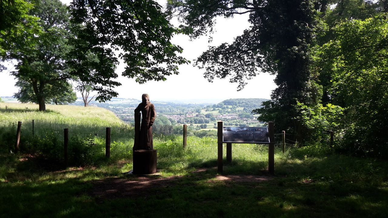
ヴィア・コリオバルム - ホランドの南リムブルク地方の巡礼
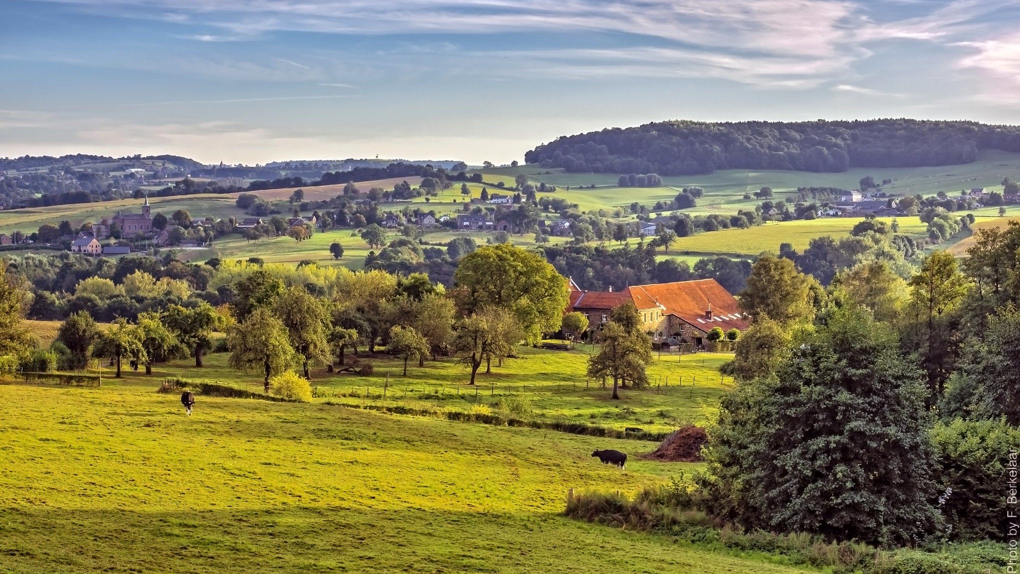
ʼs-ホルトゲンボスヒュからマーストリヒュト(そしてそれ以上)– ペルグリムロード第2部
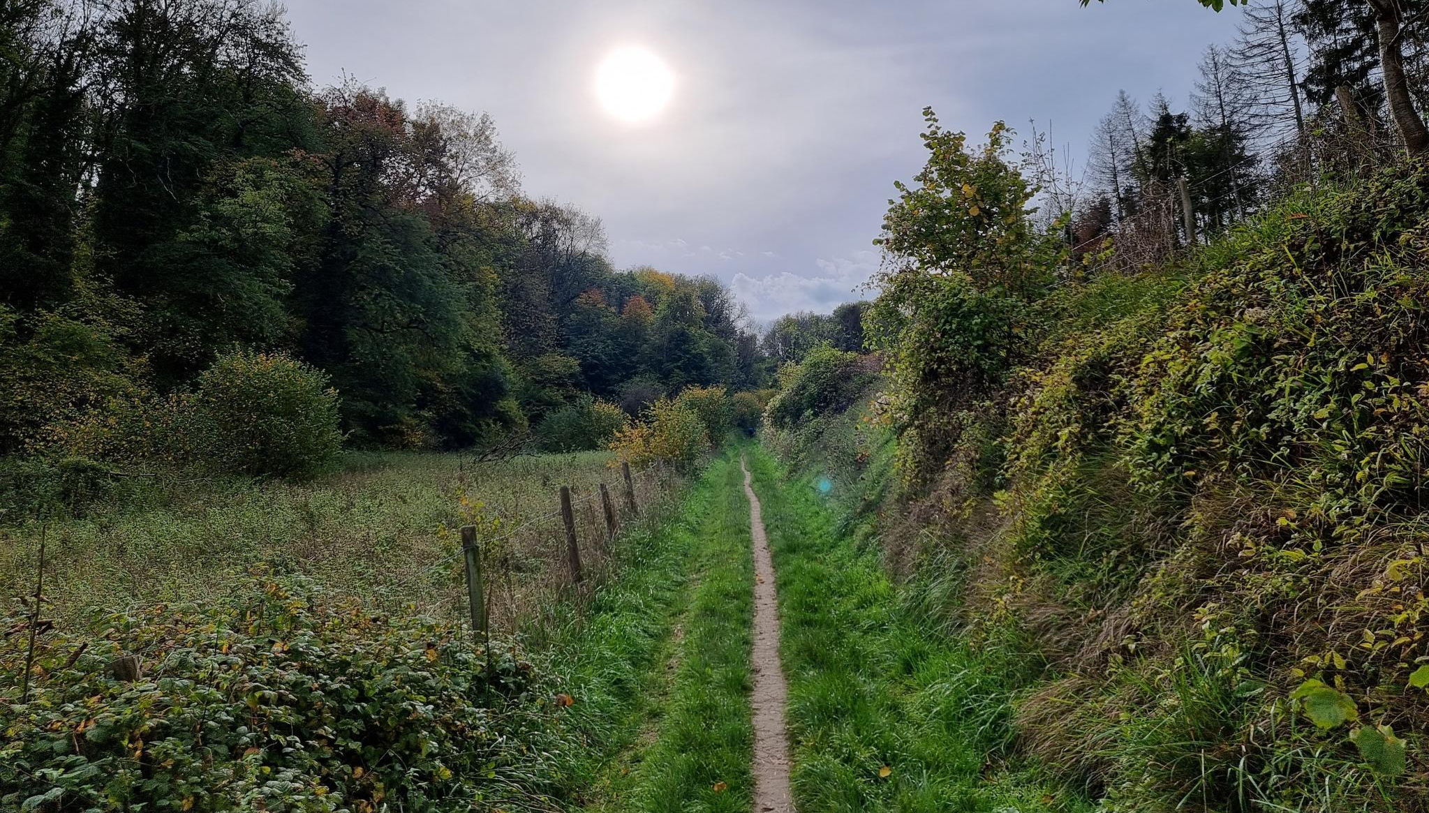
デ リンブルフ200 MTB ウルトラ – エーン エフテ マウンテンバイク チャレンジ
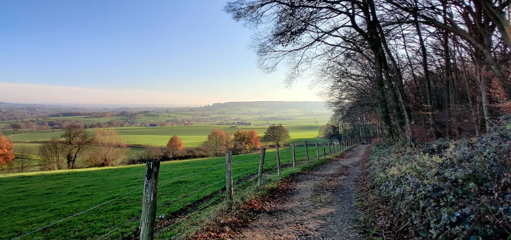
二日間のグラベル・ヘウフェラントを通る– Limburg200 Gravel
南部の周月関がる-な二日の南部は南部の南部のがる
Gravel - Shimano EC Valkenburg
MTB - Shimano EC Valkenburg
Race - Shimano EC Valkenburg
波状の丘陵で足の腱を鍛える - リムブルクの10のトレールラン
Railrunnerルート - 駅から駅への15のハイキング
ヴァルケンブルク・アーン・デ・カウルでのの他の冒険


コミュニティからのヒント

The Mulderplas is a picturesque lake in the Geleenbeek Valley, created by the former watermill at Terborgh Castle. The clear water reflects the surrounding trees and the castle, giving the place an almost idyllic feel. Walking paths surround the lake, inviting you for a peaceful stroll along the shore, where ducks and other waterfowl are often spotted. The Mulderplas provides a natural resting place for hikers in the valley, connecting the rich cultural history of the mill and castle with the serene beauty of the Limburg landscape.
0
0
The Muldermolen is a historic watermill on the Geleenbeek stream, near Terborgh Castle. For centuries, grain was ground here using the power of the flowing water. Today, the mill is a charming restaurant where you can enjoy a snack and drink after a walk or bike ride. Its location, nestled in the greenery of the stream valley, makes it an idyllic stop along your route.
0
0

A lovely place to grab a drink and/or a bite to eat after a long walk. Cozy, atmospheric, and wonderfully peaceful despite the road running alongside the terrace.
0
0

The Brunssummerheide is a nature reserve covering approximately 600 hectares in the Dutch province of Limburg, located between the towns of Brunssum, Heerlen, and Landgraaf. It includes, in particular, the so-called Schrieversheide. However, the name Brunssummerheide is also used more broadly for the approximately 1,800-hectare recreational area in which this nature reserve is located. Recreational activities include hiking, cycling, golf, and horseback riding.
0
0

Depending on the weather, the heather blooms here between mid-August and mid-September.
0
0

A large body of water near Schinnen, with various water birds
0
0

The Brunssummerheide is a hilly heathland with a spring and marsh area, sandy areas, small lakes, deciduous and pine forests, crossed by many hiking, horse riding and cycling routes. While the actual Brunssummerheide is about 600 hectares in size, the name is mostly used for an 1800 hectare area, which also includes the Schieversheide. A popular starting point (with parking) for hikes and bike rides in the Brunssummerheide is the visitor center in the western part of the Brunssummerheide. You can reach it by turning off the Heerenweg, which runs from Heerlen along the heath to Brunssum, onto the Schaapskooiweg. Bezoekerscentrum Brunssummerheide Schaapskooiweg 99 6414 EL Heerlen In this visitor center there is a lot of information, a pancake restaurant with a large terrace and a wide view. Here you can also buy a hiking map of the heath for €6.95. There is also an information board with the hiking and cycling routes. I would particularly like to recommend the source area (Dutch: Brongebiet) of the Rode Beek (Rodebach) and the sandy area (Dutch: zandvlakte) right next to it. The source area is equally popular with children and dogs for swimming. Source: https://www.euregio-im-bild.de/wandern-entdecken/limburg/die-brunssummerheide/zu-fuss-per-rad-oder-auf-dem-pferd-durch-die-heide.htm
5
0

The Brunssummerheide is connected via the Brandenberg to the German Natura 2000 area the Teverener Heide via the Heidenatuurpark Nature Bridge. These areas are part of the cross-border Heiden Nature Park.
5
2
ヴァルケンブルク・アーン・デ・カウルでのの人気ルート
ヴァルケンブルク・アーン・デ・カウルでのの人気観光スポット

komootモバイルアプリでインスピレーションを得よう


さらに探索
まだ完璧な湖が見つかりませんかヴァルケンブルク・アーン・デ・カウルでの?これらの地域のガイドをチェックして、さらに美しい場所を見てみましょう。
