シッタールゲレンデのおすすめウォーキング&ハイキングルート
4.3
(1969)
10,460
ハイカー
601
ハイキング
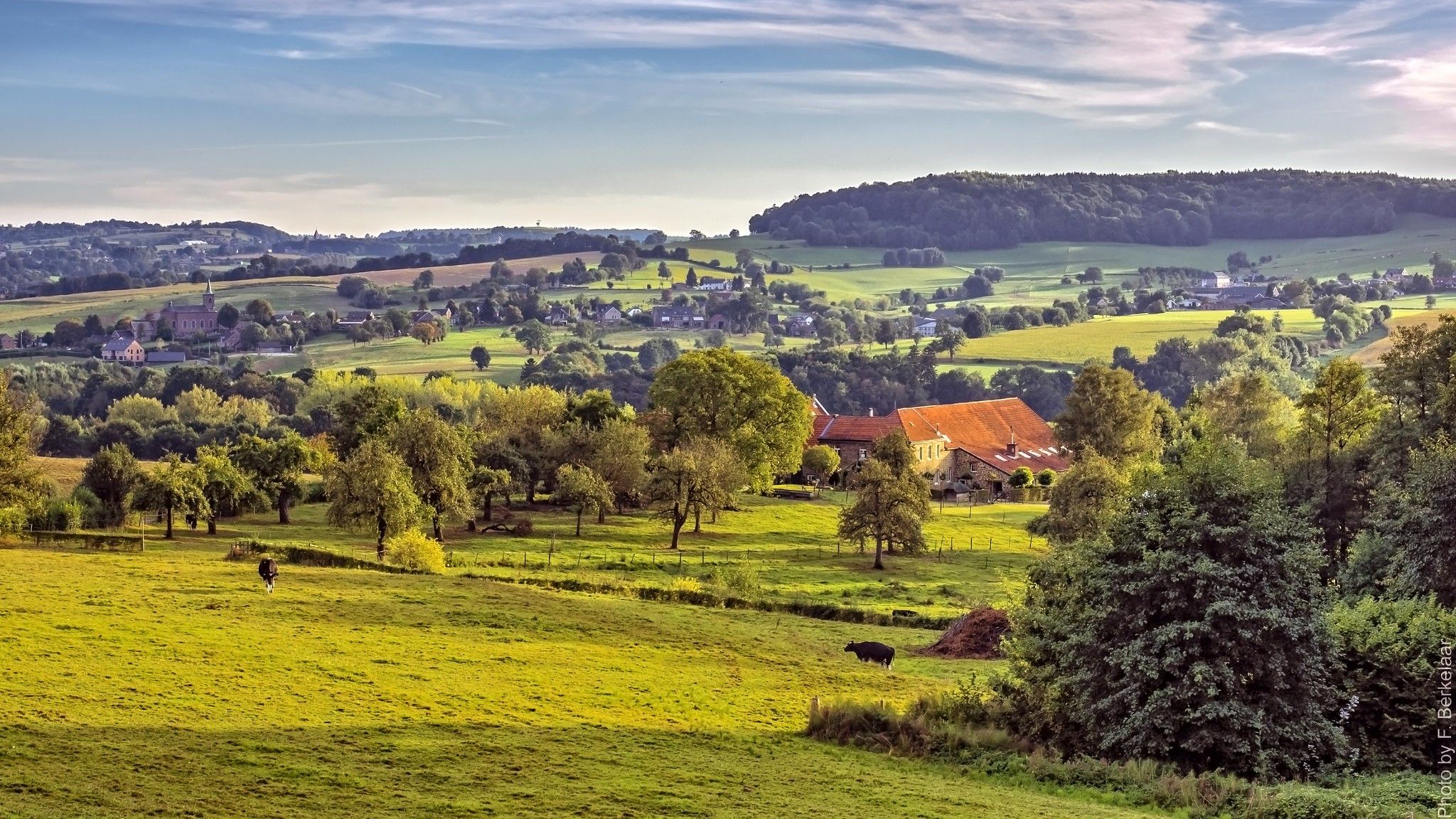
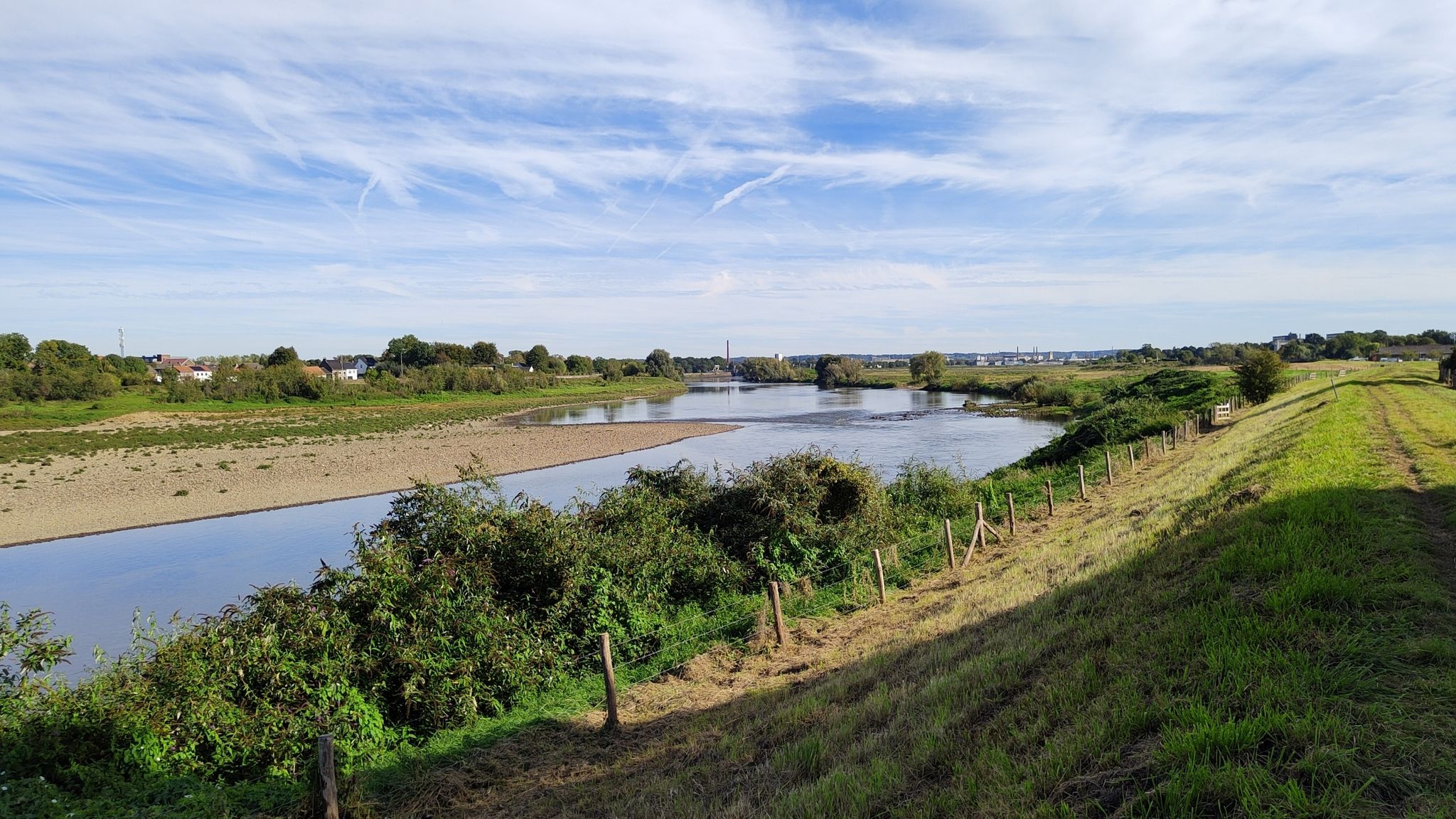
シッタート・ヘレーン周辺のハイキングは、広大な森、公園、庭園など、多様な景観を提供します。この地域は、特にNationaal Landschap Zuid-Limburg内に、起伏のある丘、緑豊かな森林、蛇行する川が特徴です。ハイカーは、川の氾濫原、特徴的な泥灰岩の崖、Brunssummerheideのような自然保護区を探索できます。この変化に富んだ地形は、アウトドア愛好家にさまざまな体験を提供します。
シッタート・ヘレーンで最高のハイキングコース
- 最も人気のあるハイキングコースはスバイクハイゼン発、テルボルグ城~マルダースプラス周回コースです。これは8.5マイル(13.7 km)のコースで、歴史的な場所や静かな水辺を通り抜け、3時間42分で完了できます。
- 地元のハイカーに人気のもう一つのコースはシッタート・ヘレーン発、リンブルヒトの森~デ・ローレン釣り池周回コースです。これは森の中や釣り池沿いを歩く、中程度の難易度の6.4マイル(10.4 km)のコースです。
- 地元のハイカーはスバイクハイゼン発、オリエモレンダー遊歩道~シンタ・ヤンス・ヘレーン邸宅周回コースも気に入っています。これは3.2マイル(5.1 km)のコースで、邸宅敷地内を通り抜け、通常約1時間23分で完了できます。
- シッタート・ヘレーン周辺のハイキングは、起伏のある丘、鬱蒼とした森林、川の氾濫原が特徴です。このネットワークは、簡単な散策、中程度のコース、より挑戦的なトレッキングのオプションを提供します。
- シッタート・ヘレーンのコースは、komootコミュニティから平均4.3つ星(1400件以上のレビュー)と高く評価されています。8800人以上のハイカーがkomootを利用して、シッタート・ヘレーンの多様な地形を探索しました。
最終更新日: 8月 28, 2026
4.7
(142)
486
ハイカー
14.3km
03:50
180m
180m
中程度のハイキング. ある程度のフィットネスレベルが必要です。 全般的に進みやすいルートです。安定して歩行できる技術が必要です。
4.7
(107)
436
ハイカー
17.6km
04:40
170m
170m
中程度のハイキング. ある程度のフィットネスレベルが必要です。 進みやすいルートです。あらゆるスキルレベルに適しています。

無料新規登録
4.3
(86)
234
ハイカー
10.4km
02:38
20m
20m
中程度のハイキング. ある程度のフィットネスレベルが必要です。 進みやすいルートです。あらゆるスキルレベルに適しています。
4.6
(78)
208
ハイカー
4.86km
01:20
80m
80m
初級者向けハイキング. あらゆるフィットネスレベルに適しています。 進みやすいルートです。あらゆるスキルレベルに適しています。
4.7
(45)
148
ハイカー
4.91km
01:19
60m
60m
初級者向けハイキング. あらゆるフィットネスレベルに適しています。 進みやすいルートです。あらゆるスキルレベルに適しています。
さらに多くのルートや他のユーザーのおすすめ情報を確認できます。
無料新規登録
すでにアカウントをお持ちですか?
おすすめのツアーは他のkomootユーザーが実際に経験した何千ものアクティビティに基づいています。
無料アカウントで今日から始めよう
次の冒険が待っています。
ログインまたは登録
シッタールゲレンデ周辺で人気
ʼs-ホルトゲンボスヒュからマーストリヒュト(そしてそれ以上)– ペルグリムロード第2部
発見リーファnatuur – 6 リーファンワンデリングen リーファパーク Maasvallei
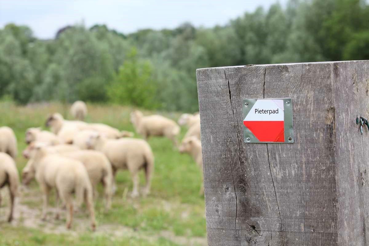
ヴォルデン城からピーテルベルグまで – ピーテルパット部分2
ドイツからオランダへのサイクリング - 2カ国ルート
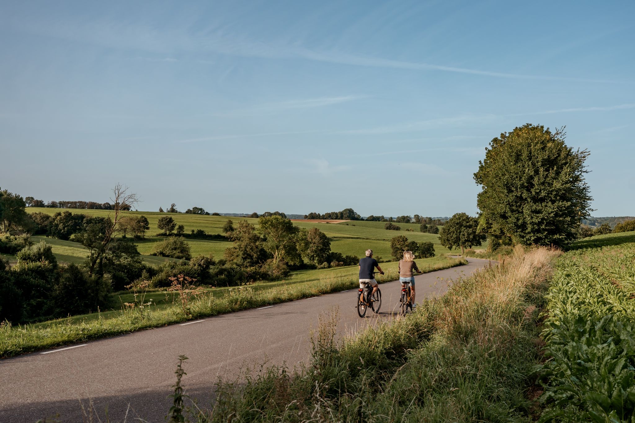
The best of South Limburg by bike
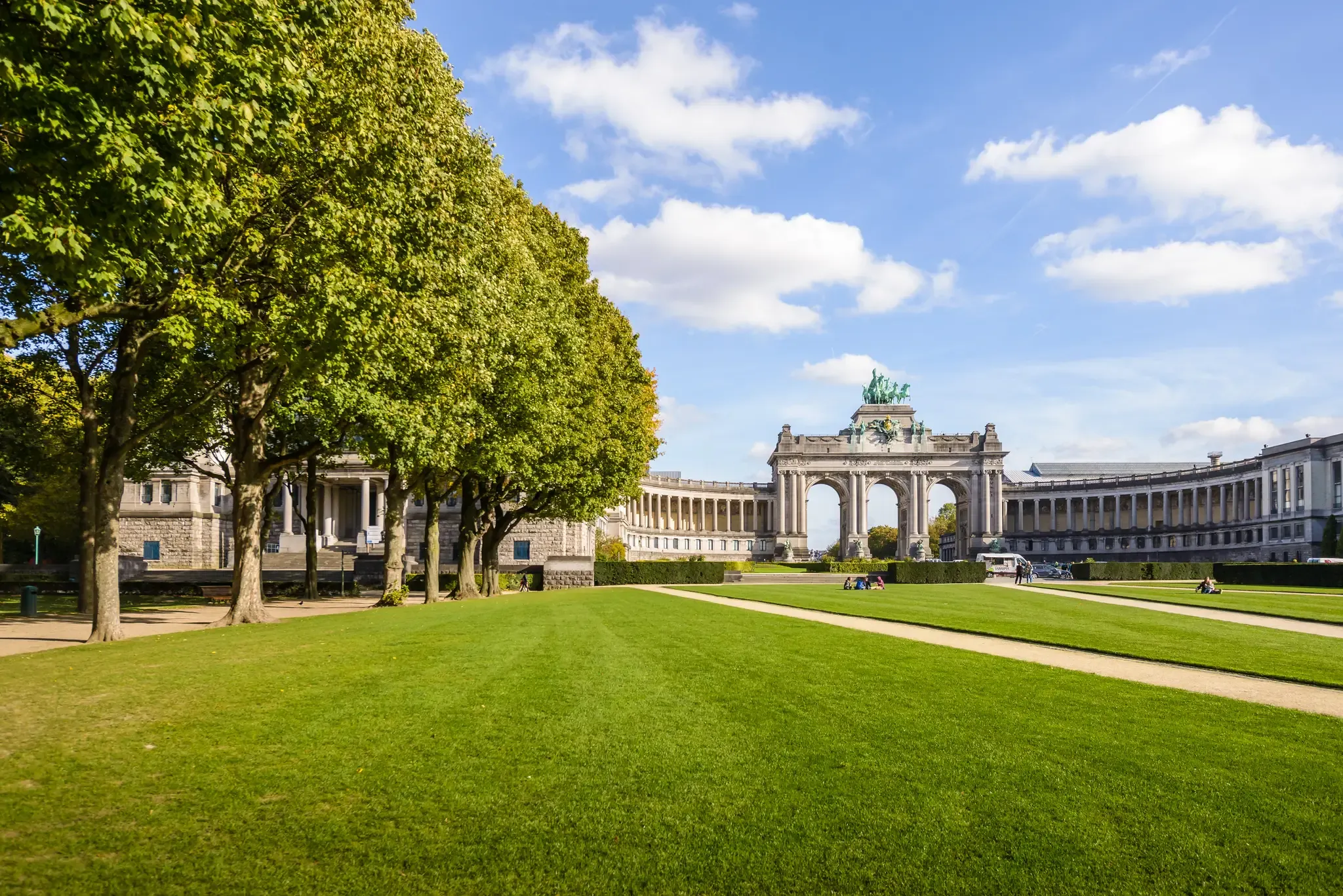
コロンからブリュッセルへ三か国を通り抜けてサイクリング
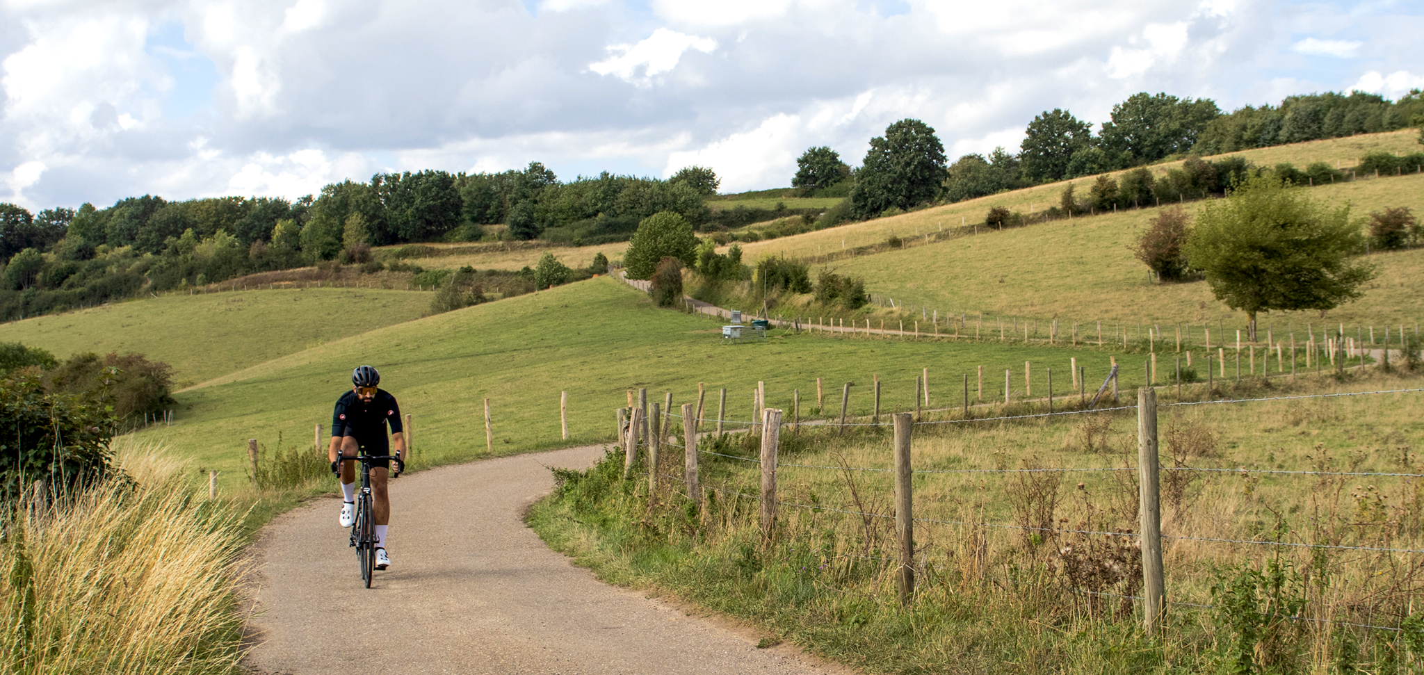
Cross-border cycling in South Limburg – the alternative routes
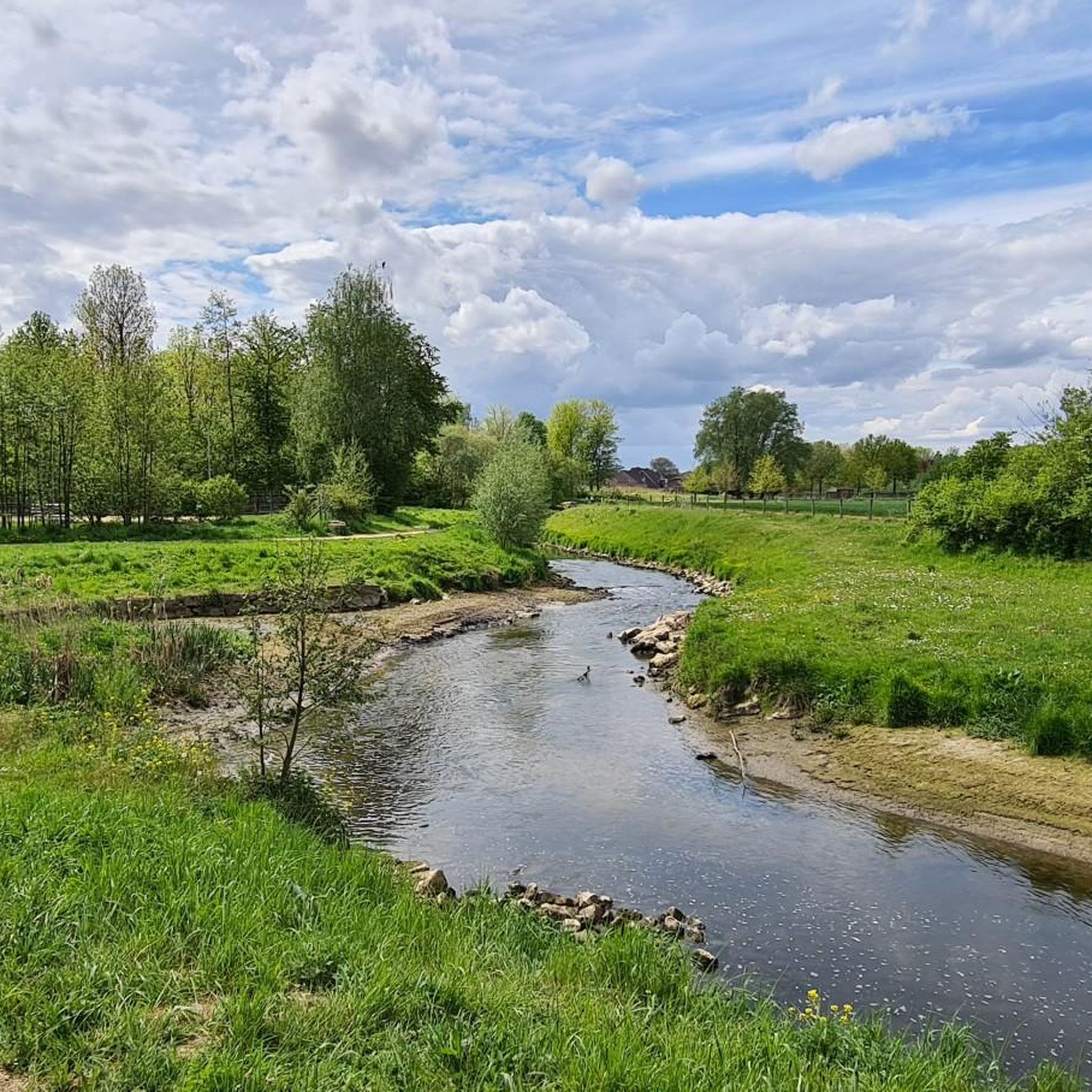
シッタールゲレンデのロードバイクルート
シッタールゲレンデのMTBトレイル
シッタールゲレンデでのサイクリング
シッタールゲレンデでのの他の冒険


コミュニティからのヒント

城では、美しい景色を楽しみながら休憩したり食事をしたりできます
0
0


釣りをしたい場合でも、Geleenbeek沿いをハイキングしたい場合でも、ここは最適な場所です。
1
0

The Limbrichterbos is a valuable and richly wooded nature reserve in the municipality of Sittard-Geleen (Limburg, the Netherlands), situated between the villages of Limbricht and Born, and parts of the Sittard city outskirts. This forest is one of the most important green lungs of the region, offering residents and visitors of South Limburg a tranquil natural space where deciduous trees, flowing streams, bird sounds, and cultural history converge. The Limbrichterbos covers an area of dozens of hectares and is primarily an old-growth deciduous forest dominated by beech and oak. These trees together form a dense forest that supports a variety of species, from woodland plants such as wood anemone, spotted arum, and muskwort to birds such as woodpeckers, nuthatches, wood warblers, and other songbirds that forage and build nests in the old trees. Two small watercourses, the Bosgraaf and the Limbrichterbeek, flow through the forest, providing additional ecological richness along grasslands and riparian zones. This variety of habitats makes the forest feel like home not only to forest birds but also to small mammals and insects. Because the forest has existed for centuries (old maps show that the area was already largely forested in the 19th century), there are trees here that are over 75 years old. Dead wood, deliberately left in place, plays an important role in biodiversity by providing food and nesting sites for fungi, insects, and birds. The Limbrichterbos cannot be understood in isolation from its surroundings. On the north side lies a smaller forest edge with a fishpond (known as De Rollen), and to the south, the Grasbroek nature reserve and the rural area of the Graetheide connect at a transition from forest to open agricultural landscape. Another unique feature of the forest is that it is surrounded by castles. Both Limbricht Castle and Grasbroek Castle lie on the edges of the Limbrichterbos and recall historic estates and the medieval use of forest and land by noble families. Although no official separate trails have been established by management organizations (for example, the State Forestry Service or a provincial network), the Limbrichterbos is popular with hikers, cyclists, and nature lovers. The forest is part It consists of various recreational routes in South Limburg, including the Swentibold Rollenroute, a roughly 10.4 km long walking route that leads through the forest, along streams such as the Venkebeek and past the De Rollen pond. In addition, there are other walking routes, such as loops of approximately 7-8 km that combine the forest with surrounding fields and paths along castle walls and country roads. Here, hikers encounter typical Limburg flora and fauna and can look out over open spaces that contrast with the dense woodland. The trails are generally unpaved, quiet, and suitable for most hikers, although they can be muddy in rainy weather. This makes the Limbrichterbos both adventurous and accessible for nature lovers of all levels. The Limbrichterbos is also popularly called a woodpecker forest because in calm weather, you often hear the tapping of woodpeckers as they search for insects in the dead and living wood. The presence of old trunks and dead wood supports a comprehensive ecosystem in which almost every forest life form plays a role. Along the forest edges, you can see You'll find rarer forest plants, and in spring, the forest blooms with wood anemones and other characteristic species that give it character. Birds range widely, from songbirds to birds of prey, and the forest is so close to other nature reserves that animals can move freely. The Limbrichterbos is part of local nature management initiatives where organizations such as Natuurmonumenten (Dutch Society for Nature Conservation) and municipal projects collaborate on management, conservation, and restoration. This focuses on forest quality, the preservation of native tree species, and the strengthening of corridors where animals and insects can live and travel. Restoration projects are also underway in surrounding areas, such as De Rollen, to strengthen forest and nature through replanting and forest connectivity, with the aim of creating a climate-resilient and biodiverse environment. The Limbrichterbos is freely accessible to the public with no admission fee. The area is close to the residential areas of Limbrichterveld, making it easily accessible for day trips, nature walks, or simply a peaceful stroll. There are no extensive facilities such as visitor centers, but the natural state of the forest and the presence of hiking trails make it attractive and inviting to anyone who wants to experience a piece of silent nature.
1
0
Het Limbrichterbos is een bosrijk en gevarieerd natuurgebied in Zuid‑Limburg (Nederland) dat grotendeels bestaat uit oude loofbossen graslanden beekdalen en bosranden. Het gebied ligt in de gemeente Sittard‑Geleen vlak bij Limbricht en vormt samen met omliggende natuurparels een belangrijke groene oase middenin het cultuurlandschap van het Zuid‑Limburgse plateau. Het Limbrichterbos beslaat een bosgebied van ongeveer 91 hectare en is daarmee een van de grotere boscomplexen in de regio. Het bos is vooral bekend om zijn loofbos met brede beukendominantie maar bevat ook essen eiken struiklagen en een rijke ondergroei van bosplanten zoals bosanemoon gevlekte aronskelk en muskuskruid. Deze gevarieerde beplanting trekt een breed scala aan vogelsoorten aan waaronder zangvogels zoals tjiftjaf en fluiter maar ook roofvogels en spechten. Het ruige dode hout dat in het bos blijft liggen dient daarbij als voedselbron en broedplaats voor insecten wat weer voedsel biedt voor vogels en kleine zoogdieren. Door het gebied stromen twee kleine beekjes de Bosgraaf en de Limbrichterbeek die samen met natte laagtes en graslanden bijdragen aan de ecologische diversiteit van het bos. Langs deze waterlijn ontstaan andere soorten vegetatie en diersoorten wat het Limbrichterbos rijker maakt aan natuurlijke habitats. Aan de noordzijde van het Limbrichterbos ligt de voormalige zandgroeve en visvijver De Rollen een plas die ontstaan is doordat zand en grind werden gewonnen voor de aanleg van de nabijgelegen A2‑snelweg halverwege de 20e eeuw. Door de jaren heen werd deze plas ingericht als viswater met een populatie vissoorten die aantrekkelijk is voor hengelsporters en vormt hij tegenwoordige een belangrijke natuurzone binnen het boslandschap. Binnen het Limbrichterbos is er een aangemerkte wandelroute die lokale bezoekers en natuurliefhebbers uitnodigt om de natuur te beleven en het Limbrichterbos en De Rollen Natuurpad. Deze route maakt deel uit van de bekende Swentibold Rollenroute een beweeglijk uitgezette paaltjesroute van ongeveer 10,4 km die bezoekers door het bos langs de waterpartijen en over natuurlijke paden voert. Het natuurpad loopt over zacht verharde en onverharde paden bosstroken en smalle looproutes door het landschap. Onderweg passeer je een aantal natuurpunten waaronder beekjes open graslanden bosranden en in het noordelijke terrein de visvijver De Rollen. Het pad is grotendeels gemarkeerd via wandelknooppunten en is geschikt voor wandelaars van vrijwel elk niveau waardoor het ook populair is bij gezinnen en recreatieve natuurwandelaars. Naast de natuurlijke beleving zijn er langs het natuurpad ook educatieve informatiepunten te vinden (zoals het IVN‑buitenlokaal) die toelichting geven op de flora en fauna van het gebied de ecologie van de bossen en de geschiedenis van het landschap. Een van deze punten bij de grens tussen het Limbrichterbos en De Rollen herinnert aan voormalige drinkwaterpompputten die in het begin van de 20e eeuw werden aangelegd in de context van lokale infrastructuur rond onder meer de Staatsmijnen. Het Limbrichterbos is vooral in het voorjaar een kleurrijke beleving en veel bosplanten bloeien in het voorjaar en trekken vlinders bijen en insecten aan. De visrijke vijver De Rollen is bovendien een hotspot voor libellen en waterjuffers waaronder soorten die afhankelijk zijn van schoon water en oeverbegroeiing. In herfst en winter biedt het bos met zijn oude bomen paddenstoelen en gevallen bladeren een andere maar net zo indrukwekkende beleving. In het bos leven ook grotere dieren zoals reeën en dassen al zijn deze schuw en worden ze meestal alleen ’s ochtends vroeg of in de schemering gezien. De combinatie van rottend hout voedselrijk strooisel en beschutte plekken maakt dit gebied aantrekkelijk voor een breed scala aan dieren. Aan de rand van het Limbrichterbos liggen enkele cultuurhistorische punten van betekenis. Zo passeer je tijdens wandelingen oude kastelen zoals Kasteel Grasbroek en Kasteel Limbricht die zelf historische betekenis hebben en het landschap rond het bos markeren. De aanwezigheid van dergelijke oude gebouwen temidden van bos en weilanden illustreert de lange interactie tussen mens en natuur in deze regio. Het wandelnetwerk rond het Limbrichterbos is goed ontwikkeld en maakt het mogelijk om het gebied in verschillende afstanden te verkennen variërend van relatief korte wandelingen die direct het bos ingaan tot uitgebreide routes van 9–10 km die ook cultuurpunten en open velden aandoen. Het Limbrichterbos en De Rollen zijn vrij toegankelijk voor publiek zonder ingangspoort of verplichte toegangskosten. De paden zijn over het algemeen goed begaanbaar maar kunnen op sommige plaatsen na regenval drassig zijn dus wandelschoenen met enig profiel worden aangeraden. Hoewel het Limbrichterbos niet specifiek beheerd wordt door een nationale instantie als Staatsbosbeheer wordt het ecosysteem begeleid door vrijwilligers en natuurorganisaties die werken aan behoud en herstel van boswaarden een proces dat onder andere gericht is op het vergroten van biodiversiteit en het beschermen van kwetsbare soorten.
0
0

2019: Hospitality entrepreneur Igor Stel, known among other things for operating the outer bailey/former castle farm of Limbricht Castle, will be lord of the castle on the motte for the next ten years. On his Facebook page, Stel announces that he will also be operating the castle on the motte for the next 10 years. This decision was made after a successful trial period in which Stel organized activities in part of the castle. The outer bailey and castle are leased from the Limbricht Castle Foundation. "This stunningly beautiful building is currently being extensively renovated and decorated. In addition to the first floor, where we have been operating six historically themed meeting rooms for a year, we will now also fill the second floor with several conference rooms, workshop spaces, and a few super atmospheric party and tasting rooms in the cellar vaults." The project is being supervised by architect Koen Savelkoul of Ontheroad Creatives. The beautiful courtyard and forecourt are also available for rent for events, possibly in combination with the historic Knight's Hall, which has served as an official wedding venue for some time now. Stel has three Bed & Breakfast rooms in the castle and has also acquired the "notary's house" on the other side of the freight railway crossing for even more B&B rooms.
0
0

Beautiful castle and a cozy terrace in the courtyard
0
0

よくある質問
Sittard-Geleenでのハイキングでは、どのような地形が予想されますか?
Sittard-Geleenは、なだらかな丘、緑豊かな森、曲がりくねった川が特徴の多様な景観を提供しています。ヒースランド、Limbrichterbosのような広大な森林地帯、Geul川沿いのマールクリフのようなユニークな地質学的特徴など、様々な地形が見られます。この地域では、楽な散策からより挑戦的なトレッキングまで楽しめます。
初心者やカジュアルなハイカーに適した簡単なハイキングコースはありますか?
はい、Sittard-Geleenには多くの簡単なコースがあります。例えば、Oliemolender Footpath – Sint-Jansgeleen Estate loop from Sweikhuizenは、快適な邸宅地を巡る、所要時間約1時間23分の簡単な5.1kmのコースです。もう一つの穏やかな選択肢は、Geleen川沿いの5kmのルートであるGeleenbeek at Daniken – View of Schweikhuizen loop from Geleenです。
Sittard-Geleenで周回ハイキングコースを見つけることはできますか?
もちろんです。Sittard-Geleenの多くのコースは周回ルートとして設計されており、同じ場所からスタートして終了することができます。人気の例としては、歴史的な場所や静かな水辺を通過する、中程度の難易度の13.7kmのコースであるMuldersplas – Mulder Pond loop from Sweikhuizenがあります。
コース沿いにはどのような史跡や自然の名所がありますか?
Sittard-Geleenでのハイキングは、自然の美しさと文化遺産を組み合わせることがよくあります。Terborgh Castleのような史跡を探索でき、これはOliemolender Footpath – Driveway to Kasteel Terborgh loop from Geleenのようなルートで紹介されています。自然の名所としては、Geul川沿いのユニークなMarl Cliffや、多様な景観を提供する広大なBrunssummerheide Nature Reserveなどがあります。
森の中を通るコースや、日陰のある散策ができるコースはありますか?
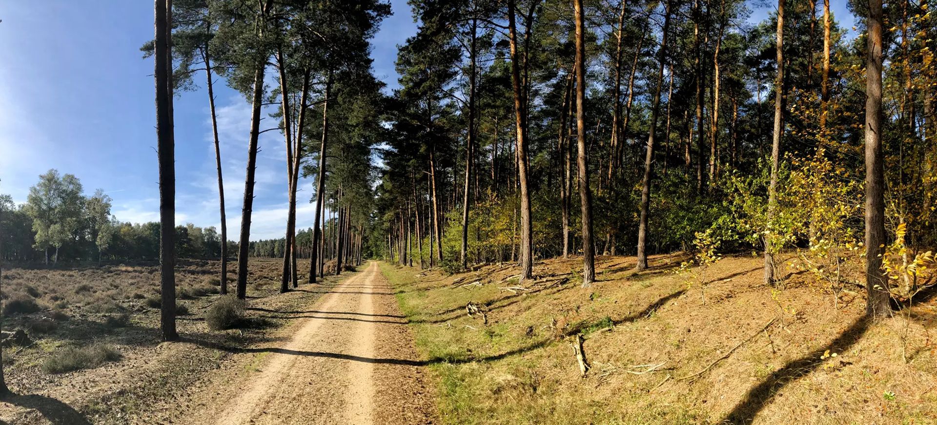
はい、この地域には森林が豊富にあります。Limbrichterbosは、古い落葉樹林がある重要な自然保護区で、日陰のある散策に最適です。これは、森の中や釣り池のそばを巡る、中程度の難易度の10.4kmのコースであるLimbricht Forest – Fishing pond at De Rollen loop from Sittard-Geleenで体験できます。
他のハイカーはSittard-Geleenでのハイキングで何が一番気に入っていますか?
この地域はkomootコミュニティから高く評価されており、1400件以上のレビューで平均4.3つ星を獲得しています。ハイカーは、なだらかな丘、鬱蒼とした森林地帯から河川敷まで、多様な景観を高く評価しており、様々なスキルレベルに対応した整備されたトレイルネットワークを気に入っています。
訪れる価値のある特定の展望ポイントや景色の良い場所はありますか?
De Kollenbergは、周囲の田園地帯のパノラマビューを提供する人気のスポットです。さらに、Brunssummerheide Nature Reserve内には、広大なヒースランドの景色を眺めるのに最適な、専用のベンチ付きの展望スポットがあります。
探検する隠れた名所やあまり知られていない場所はありますか?
よく知られたルート以外では、かつて砂採掘場だった場所で、現在は静かな散策を提供する静かな自然保護区であるMulderplasをお楽しみいただけるかもしれません。Sittard市内には、Jardin des RosesやUrsuline Gardenのような「秘密の花園」があり、静かな探検のための緑のオアシスを提供しています。秘密の花園に関する詳細情報は、Visit Zuid-Limburgウェブサイトで見つけることができます。
Sittard-Geleen地域には、ハイキングコースはいくつありますか?
Sittard-Geleen地域には、簡単な散策からより挑戦的なトレッキングまで、500以上のハイキングコースがあります。この広範なネットワークにより、あらゆるタイプのハイカーに十分な選択肢があります。
湖や川などの水辺を通るコースはありますか?
はい、この地域には川沿いや湖のそばを巡るいくつかのコースがあります。静かな湖であるMulderplasは、Muldersplas – Mulder Pond loop from Sweikhuizenの主要な特徴です。また、Geleen川沿いのコースもあり、例えばGeleenbeek at Daniken – View of Schweikhuizen loop from Geleenのようなコースでは、絵のように美しい水辺の景色を楽しめます。

komootモバイルアプリでインスピレーションを得よう


さらに探索
他の地域の最高のハイキングを見てみましょう。
