ヌースのおすすめウォーキング&ハイキングルート
4.2
(1485)
6,189
ハイカー
163
ハイキング
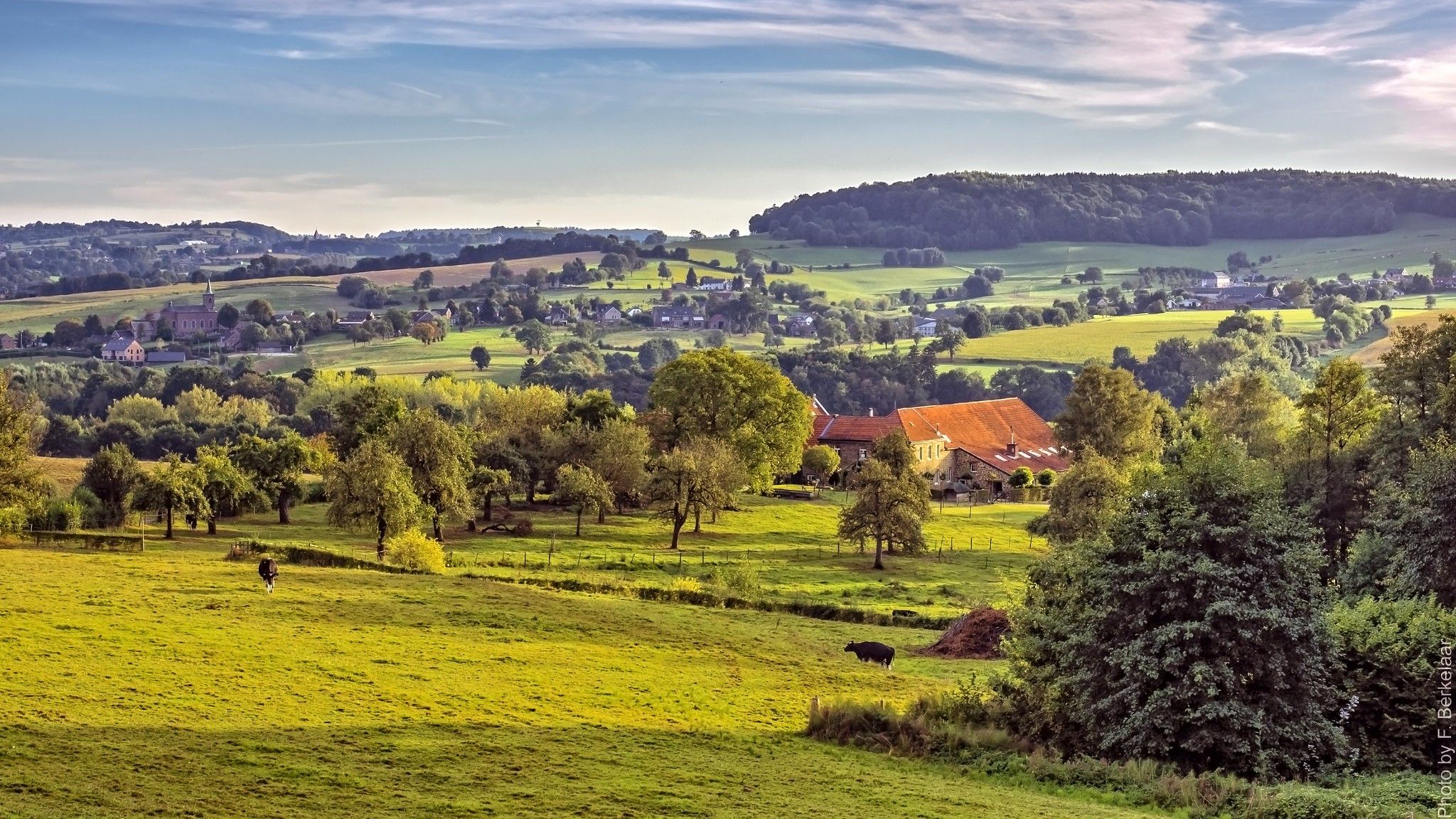
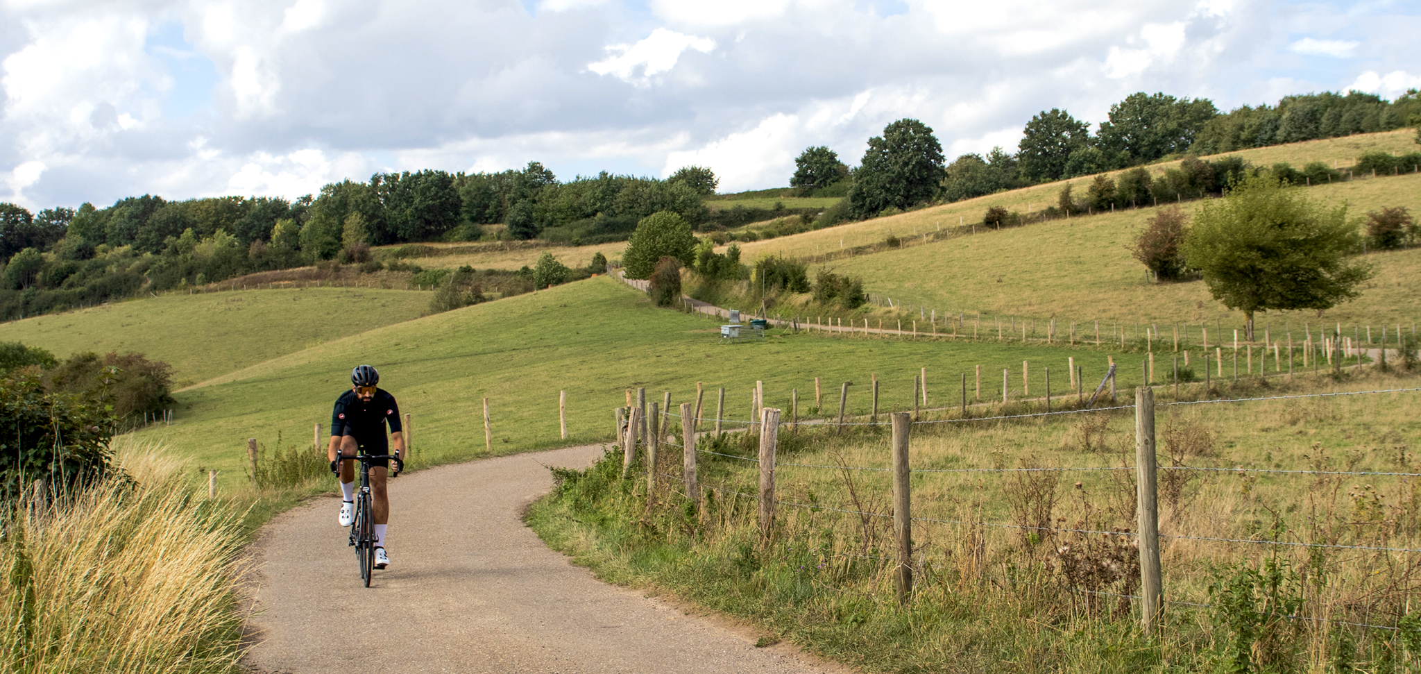
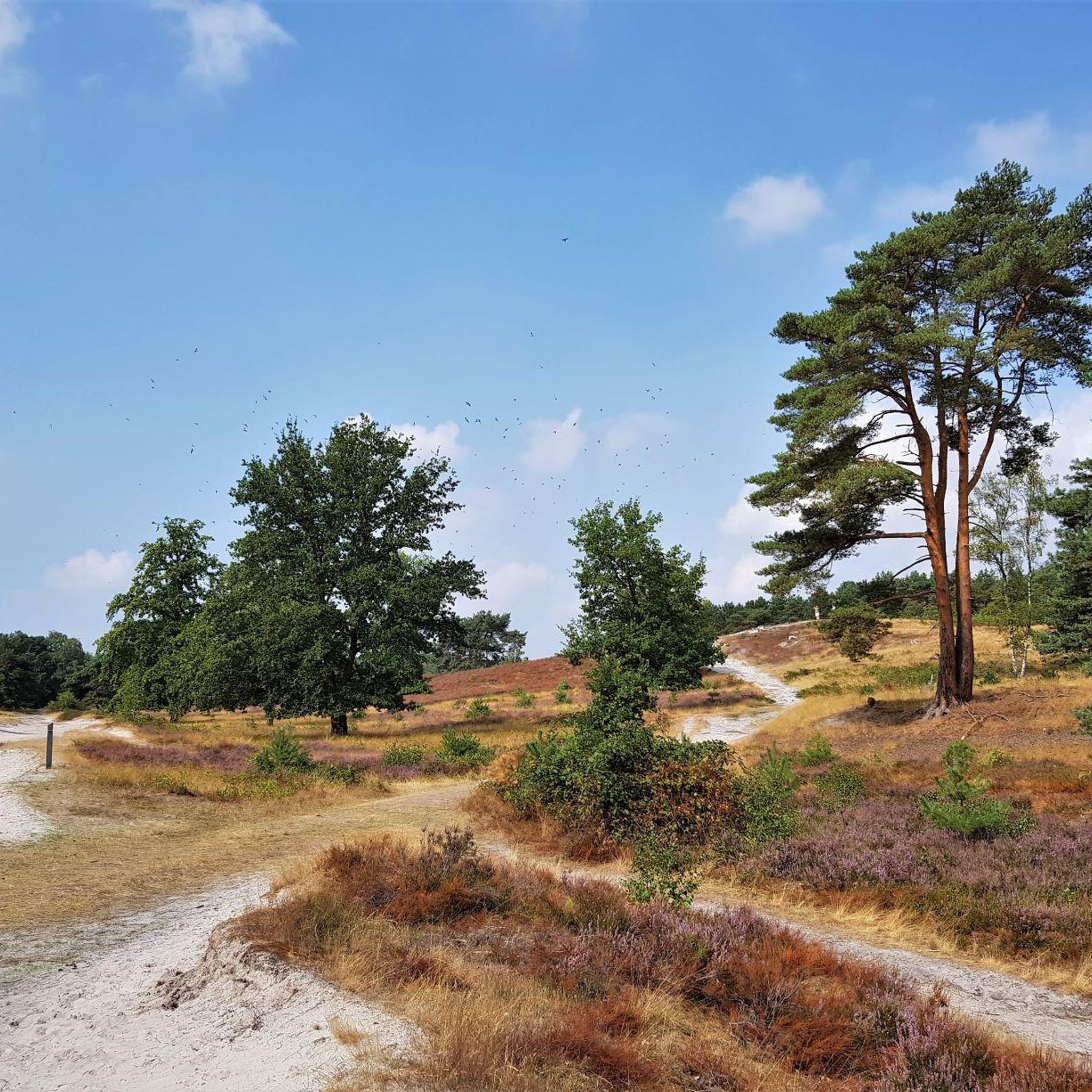
オランダ、リンブルフ州に位置するヌート周辺のハイキングは、起伏のある丘で知られるリンブルフ・ヒューフェルラントを特徴とする変化に富んだ景観を提供します。この地域には、石灰岩の草原と多様な野生生物で称賛されるクンダーベルクのような重要な自然の見どころがあります。ハイカーは、ゲレーンベーク川を含む、森林、農地、渓谷の混合地帯を探索できます。この地形は、さまざまな標高でのハイキング体験を提供します。
ヌート周辺の最高のハイキングコース
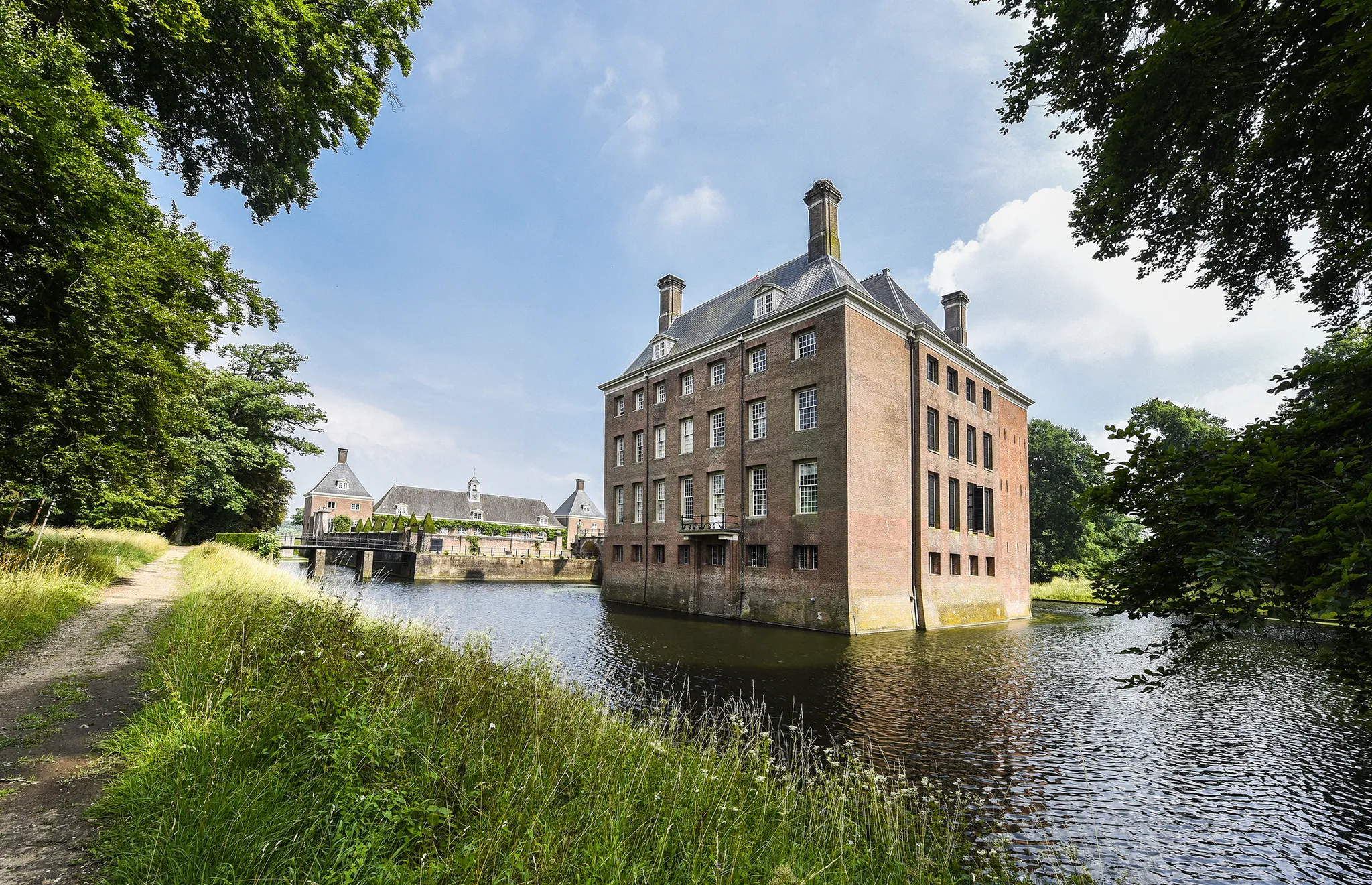
- 最も人気のあるハイキングルートは、ホーエンスブルーク城周辺の散策で、所要時間1時間39分、距離6.5km(4.0マイル)の簡単なトレイルです。このルートからは、歴史的な城とその周辺の景観を眺めることができます。
- 地元のハイカーに人気のもう一つのコースは、シメルトからのワインツラデ城 – プラッツベーク川渓谷ループで、距離11.8km(7.3マイル)の中級コースです。このループは、歴史的な城と自然の渓谷を結び、所要時間は約3時間7分です。
- 地元のハイカーに愛されているもう一つのコースは、ヌートからのクリーバースベルクヴェーク – ヘレハムレットループで、距離16.7km(10.4マイル)のトレイルは、集落や変化に富んだ田園風景を通り抜け、所要時間は約4時間22分です。
- ヌート周辺のハイキングは、起伏のある丘、石灰岩の草原、森林、渓谷によって特徴づけられ、簡単な散策からより挑戦的なトレッキングまでオプションを提供します。
- ヌートのルートは、1000件以上のレビューから平均4.2つ星の評価を得ており、komootコミュニティから高く評価されています。4000人以上のハイカーがkomootを利用して、ヌートの多様な地形を探索しています。
最終更新日: 8月 28, 2026
4.3
(106)
341
ハイカー
6.47km
01:40
30m
30m
初級者向けハイキング. あらゆるフィットネスレベルに適しています。 進みやすいルートです。あらゆるスキルレベルに適しています。
4.8
(253)
1,258
ハイカー
29.8km
07:52
270m
270m
難しいハイキング. 標準以上のフィットネスレベルが必要です。 進みやすいルートです。あらゆるスキルレベルに適しています。

無料新規登録
4.7
(80)
257
ハイカー
10.5km
02:45
90m
90m
中程度のハイキング. ある程度のフィットネスレベルが必要です。 進みやすいルートです。あらゆるスキルレベルに適しています。
4.6
(73)
244
ハイカー
12.6km
03:21
120m
120m
中程度のハイキング. ある程度のフィットネスレベルが必要です。 全般的に進みやすいルートです。安定して歩行できる技術が必要です。
4.6
(38)
116
ハイカー
16.7km
04:24
140m
140m
中程度のハイキング. ある程度のフィットネスレベルが必要です。 進みやすいルートです。あらゆるスキルレベルに適しています。
さらに多くのルートや他のユーザーのおすすめ情報を確認できます。
無料新規登録
すでにアカウントをお持ちですか?
おすすめのツアーは他のkomootユーザーが実際に経験した何千ものアクティビティに基づいています。


コミュニティからのヒント

城では、美しい景色を楽しみながら休憩したり食事をしたりできます
0
0


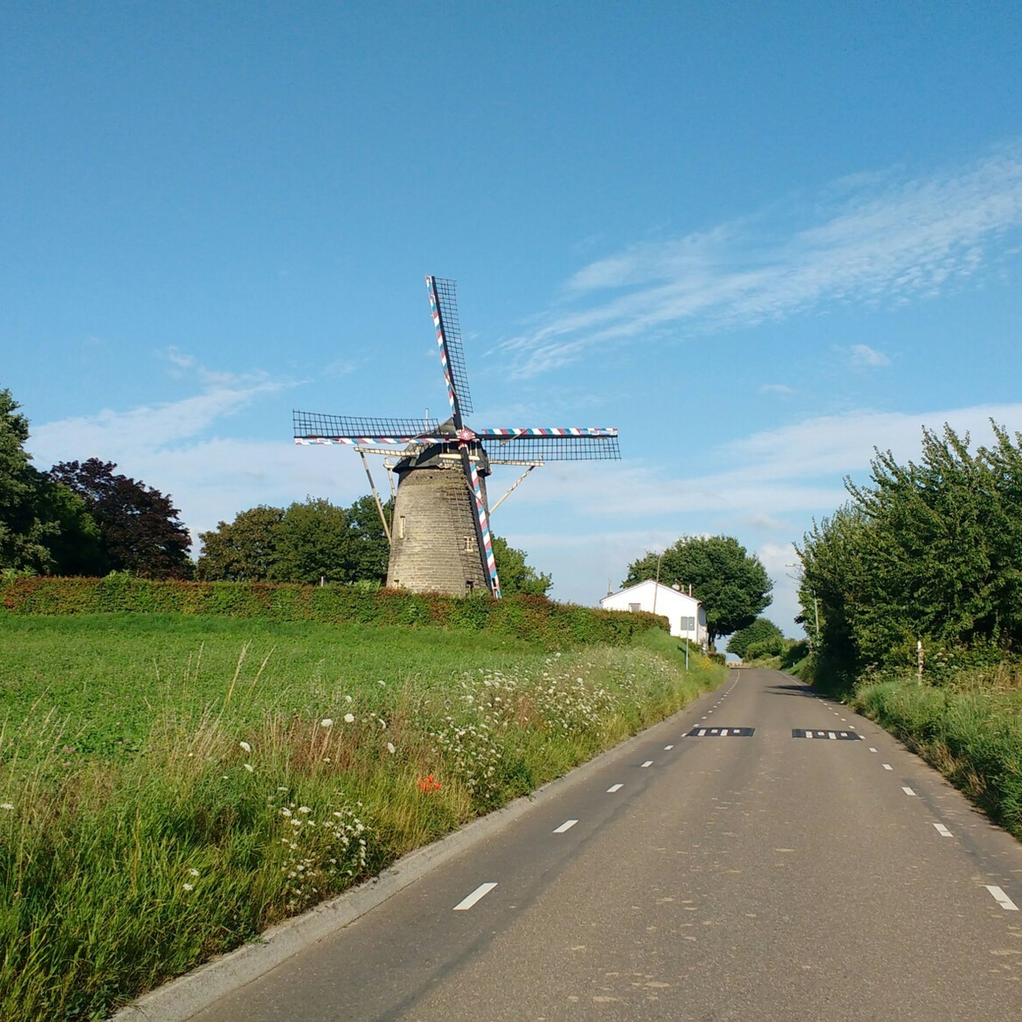
Terschuren is a charming hamlet west of Hoensbroek in the Dutch province of Limburg. The original village lies along the Terschurenweg and Wingerdweg, just north of the winding Geleenbeek stream, in the heart of a beautiful stream valley that is part of the Geleenbeekdal Natura 2000 area, a nationally protected nature reserve with a rich flora and fauna. Terschuren still exudes the atmosphere of a traditional Limburg hamlet. The houses are still located as they were centuries ago, along narrow cobblestone roads, a reminder of the agricultural origins of this small village. The hamlet is surrounded by green meadows, pastures, and the Geleenbeek stream valley, making it a peaceful and rural stop during walks or bike rides.
0
0
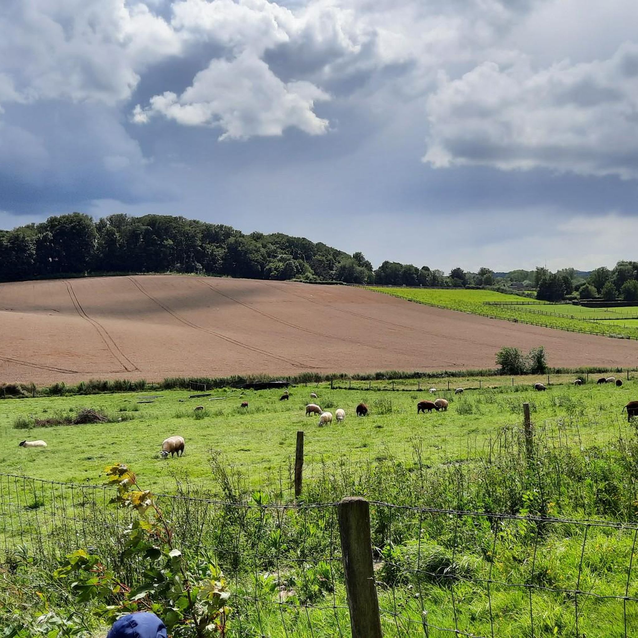
The Laervoetpad is a charming, green footpath located near Hoensbroek Castle in the South Limburg town of Hoensbroek (municipality of Heerlen). This path is part of several hiking trails through the nature reserve around the Geleenbeek stream and the Droomvijver pond, providing a pleasant and peaceful connection between historical landscapes and nature reserves. The path begins just outside the center of Hoensbroek and runs through meadows and forest edges, with views of the Geleenbeek stream and the surrounding valley. It is part of a classic walk around the castle and allows you to experience the transition between the town and the surrounding agricultural and natural areas in a relaxed way.
1
0

A fen is a natural, usually shallow lake on nutrient-poor sandy soils, formed by the accumulation of rainwater or groundwater in a depression. Fens are fed by precipitation, often have an impermeable subsoil, and are characterized by fluctuating water levels and ecological richness, especially in nutrient-poor areas. There is also another meaning: VEN stands for the Flemish Ecological Network, a network of valuable natural areas in Flanders, according to the Nature and Forest Services website.
0
0
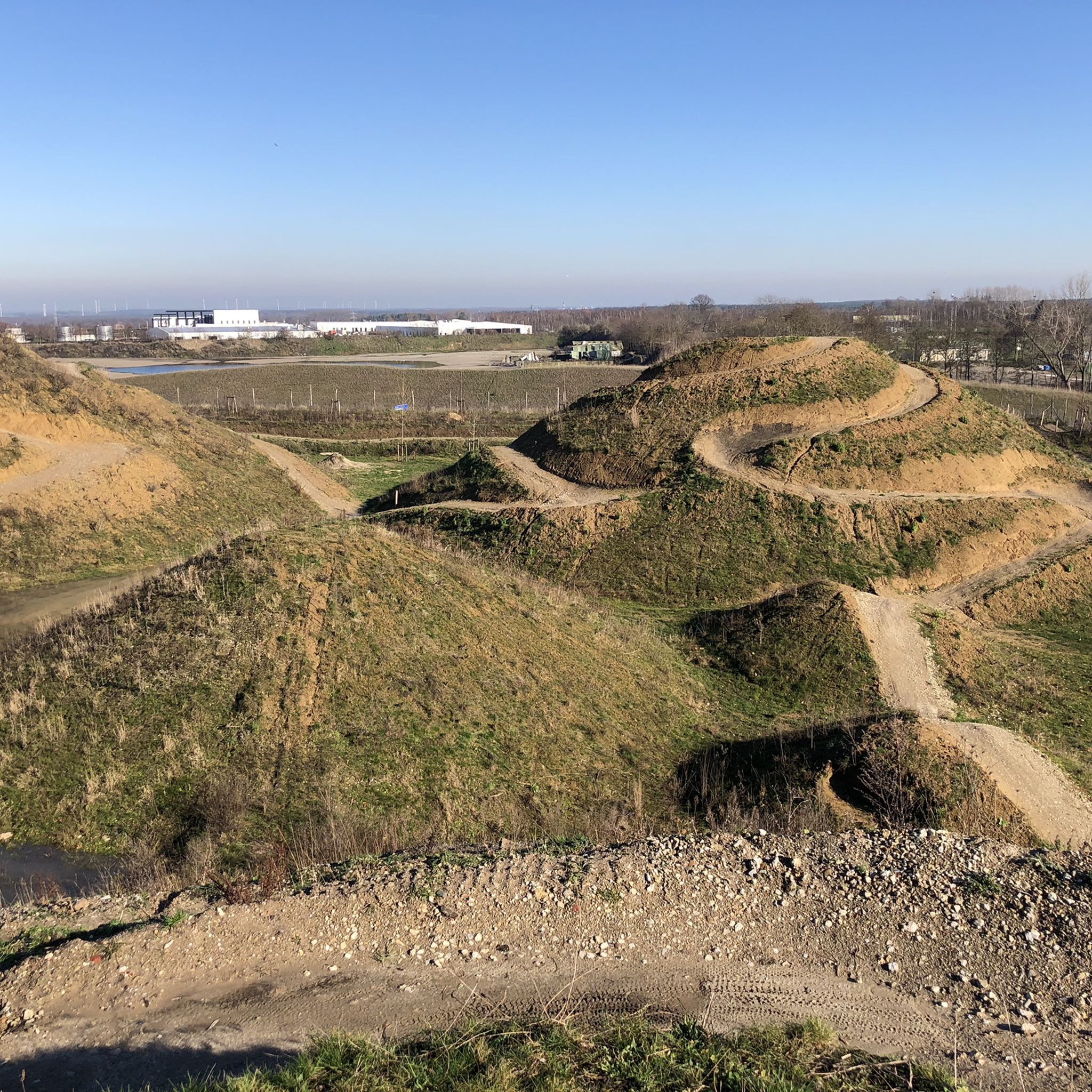
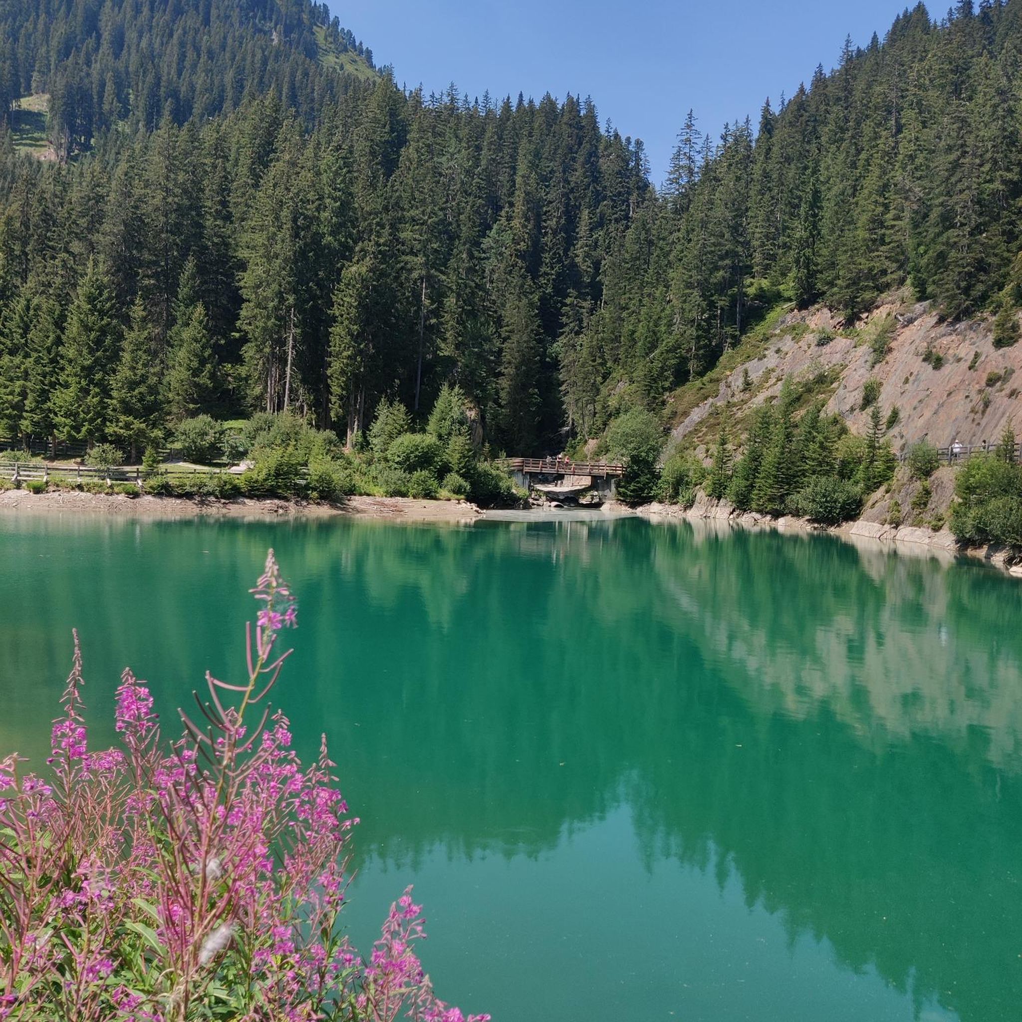
The Mulderplas in Schinnen is a tranquil lake nestled in a green setting, surrounded by trees and shrubs. Originally created by sand extraction, the lake has developed into a nature reserve where birds, fish, and other animals find their home. The clear water and natural banks make it a popular spot for hikers, nature lovers, and locals seeking relaxation. Its sheltered location and tranquil character give the Mulderplas a peaceful, almost picturesque atmosphere, creating a small, idyllic natural setting in the heart of the Schinnen region.
0
0
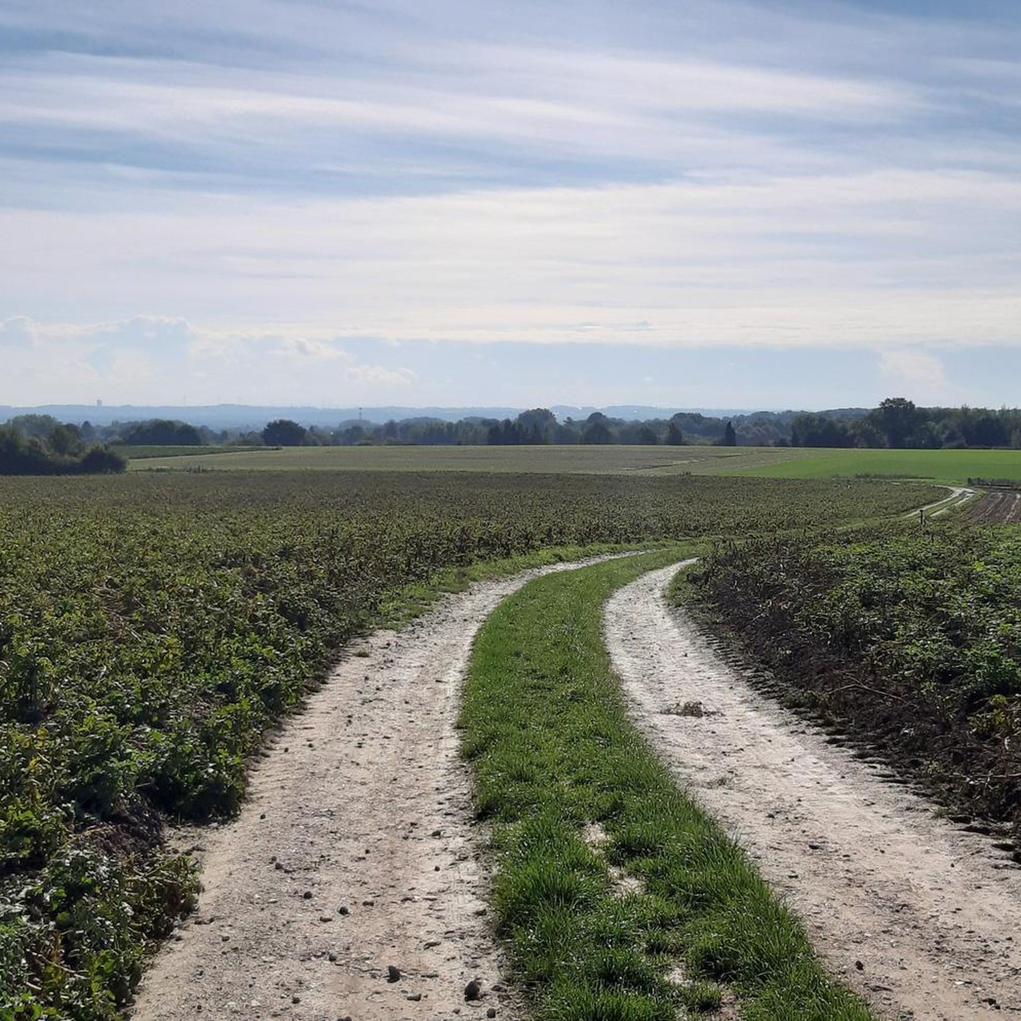
The view of Thull and the Sterrenheim Vineyard offers a picturesque panorama of the Limburg landscape, with the charming village of Thull and the rolling vineyards of Sterrenheim Vineyard forming an idyllic setting. From this vantage point, visitors can enjoy the harmony of nature, agriculture, and historic buildings, with expansive fields, rising hills, and the carefully landscaped vineyard adding a touch of green. It's an ideal spot to pause, take in the surroundings, and take photos, while experiencing the tranquility and rural atmosphere of the region.
0
0
よくある質問
ヌート周辺のハイキングでは、どのような景観が期待できますか?
オランダ、リンブルフ州に位置するヌート周辺のハイキングでは、多様な景観が楽しめます。リンブルフ・ホイフェルラント地方特有のなだらかな丘陵地帯、石灰質の草原、森林、農耕地、そしてヘレンベーク川のような渓谷に出会うでしょう。この変化に富んだ地形は、様々な標高で幅広いハイキング体験を提供します。
ヌート地域には、どのくらいのハイキングコースがありますか?
ヌート周辺には、約150ものハイキングコースがあり、様々な好みやスキルレベルに対応しています。この地域の自然の美しさを探求するための幅広いルートが見つかるでしょう。
ヌート周辺のハイキングコースの難易度はどのくらいですか?
ヌート周辺のコースは、難易度のバランスが良いのが特徴です。ほとんどのルートは易しく、90以上のオプションがあります。さらに、もう少し挑戦したい方のために50以上のやや難しいコースがあり、経験豊富なハイカー向けに数本の難易度の高いコースもあります。
ヌート周辺に、家族向けの易しいハイキングコースはありますか?
はい、ヌートには家族連れに適した易しいコースがたくさんあります。おすすめのコースは、ホーエンスブロック城周辺の散策です。この易しい4.0マイル(6.5 km)のコースは約1時間39分で、歴史的な城とその周辺の景観を楽しめます。
ヌート近郊のトレイル沿いでは、どのような興味深い自然の特徴やランドマークを見ることができますか?
ヌート地域は、自然と歴史の見どころが豊富です。石灰質の草原で知られるクンデルベルクや、ヘレンベーク川のような渓谷を探検できます。近くには、ベメラーベルク・クライムやカウベルク・クライムのような興味深いピークもいくつかあります。この地域には、ストローベルク採石場やデールケスベルク・アブリ(石灰岩の岩陰)を含む魅力的な洞窟もあります。
ヌートには周回ハイキングコースはありますか?
はい、ヌート周辺の多くのコースは周回コースになっており、同じ場所からスタートして同じ場所に戻ることができます。中程度の難易度の周回コースの例としては、ヌート発のクレバースベルクヴェーク – ヘレ・ハメット周回コースがあり、長さは10.4マイル(16.7 km)で、所要時間は約4時間22分です。小さな集落や変化に富んだ田園風景の中を巡ります。
ヌートのトレイルについて、他のハイカーはどのように評価していますか?
ヌート周辺のハイキングコースは、komootコミュニティから高く評価されており、1,100件以上のレビューから平均4.2つ星を獲得しています。ハイカーは、変化に富んだ地形、魅力的ななだらかな丘陵、そしてルート沿いの自然と歴史的な見どころの組み合わせをよく賞賛しています。
歴史的な場所と自然を組み合わせたコースを見つけることはできますか?
もちろんです。ヌート地域は、歴史的な要素と自然の美しさを融合させたコースで知られています。例えば、シメルト発のヘレンベークダルでの詩の散策 – ホインスラーデ城周回コースは、中程度の難易度で7.3マイル(11.8 km)のルートで、歴史的な城と自然の渓谷を結び、所要時間は約3時間7分です。
渓谷沿いをたどるコースはありますか?
はい、この地域にはヘレンベーク川のようないくつかの渓谷があります。フルスベルク発のプラッツベーク川 – テルトラーステン周回コースのようなルートを見つけることができます。これは中程度の難易度で6.0マイル(9.7 km)のコースで、これらの景色の良い自然地域を巡ります。
ヌートのハイキングコースの典型的な地形はどのようなものですか?
ヌート周辺の地形は、リンブルフ・ホイフェルラント地方の一部であるなだらかな丘陵地帯が特徴です。石灰質の草原、鬱蒼とした森林、開けた農耕地、そして渓谷沿いを歩き、様々な標高で多様で魅力的な体験ができます。

komootモバイルアプリでインスピレーションを得よう


さらに探索
他の地域の最高のハイキングを見てみましょう。
