ベザーテのおすすめMTBライド
4.2
(641)
2,530
ライダー
144
ライド
マウンテンバイクでBesate周辺を走ると、主にティチーノ川沿いのルートが楽しめます。この地域は、ポー平野の平坦な農耕地帯に広がる三日月湖と河岸の風景が特徴です。地形は概して平坦で標高差も少なく、様々なスキルレベルのサイクリストがアクセス可能です。このエリアには、トレイルの注目すべき特徴であるベレグアルドのポンツーン橋や木製の橋など、いくつかの橋があります。この地域は、マウンテンバイクで地元の自然環境を探索するのに適した小道のネットワークを提供しています。
Besate周辺のベストマウンテンバイクコース
- 最も人気のあるマウンテンバイクコースは、所要時間3時間16分、距離45.4km(28.2マイル)のループコース「Old Turbine Station – Motta Viscontiからのティチーノ川のカーブを見るループ」です。この中程度の難易度のルートからは、ティチーノ川の自然なカーブの景色が楽しめます。
- 地元のマウンテンバイカーに人気のもう一つのコースは、「Ticino Bend – Trailhead – Morimondoからのベレグアルドのポンツーン橋ループ」で、距離51.6km(32.1マイル)の中程度の難易度のトレイルです。このルートは、ティチーノ川の独特な三日月湖を巡り、ベレグアルドのポンツーン橋を通り抜けます。
- 地元のマウンテンバイカーに愛されているのが、「Villa Necchi – Moliniからのティチーノ川沿いの木製橋ループ」です。このコースは距離39.0km(24.2マイル)で、ティチーノ川の平野を通り抜け、所要時間は約2時間32分です。
- Besate周辺のマウンテンバイクは、川の平野、三日月湖、そしてティチーノ川にかかる橋のネットワークによって特徴づけられます。この地域は、様々なスキルレベルに対応する、イージー、ミディアム、そしていくつかのハードなオプションを含む、多様なルートを提供しています。
- Besateのルートは、500件以上のレビューから平均4.3つ星の評価を得ており、komootコミュニティから高く評価されています。2700人以上のマウンテンバイカーがkomootを利用して、Besateの多様な地形を探索しています。
最終更新日: 10月 18, 2026
4.4
(9)
47
ライダー
84.6km
06:00
200m
200m
難しいマウンテンバイクライド. 標準以上のフィットネスレベルが必要です。 高度なライディングスキルが必要です。
4.2
(6)
22
ライダー
27.0km
02:03
140m
140m
中程度のマウンテンバイクライド. ある程度のフィットネスレベルが必要です。 高度なライディングスキルが必要です。

5.0
(3)
11
ライダー
39.6km
03:01
130m
130m
中程度のマウンテンバイクライド. ある程度のフィットネスレベルが必要です。 高度なライディングスキルが必要です。
3.0
(1)
8
ライダー
55.0km
03:29
110m
110m
中程度のマウンテンバイクライド. ある程度のフィットネスレベルが必要です。 あらゆるスキルレベルに適しています。
5.0
(3)
13
ライダー
33.6km
02:10
140m
140m
中程度のマウンテンバイクライド. ある程度のフィットネスレベルが必要です。 高度なライディングスキルが必要です。
さらに多くのルートや他のユーザーのおすすめ情報を確認できます。
すでにアカウントをお持ちですか?
おすすめのツアーは他のkomootユーザーが実際に経験した何千ものアクティビティに基づいています。
無料アカウントで今日から始めよう
次の冒険が待っています。
コミュニティからのヒント

自然に囲まれた一周で、夏も冬も非常に美しく、よく整備され、歩きやすい小道を散策しながら、非常に印象的な自然の景色を楽しむことができます。
1
0

カッスィネッタ・ディ・ルガーニャーノの橋は、ミラノ大都市圏のナヴィリオ・グランデ沿いにある、最も特徴的で歴史的に重要なモニュメントの1つです。 元の花崗岩の構造は17世紀に遡り、ミラノ公国のスペイン支配時代に、運河によって分断された2つの歴史的集落を結ぶために建設されました。 この橋は、歴史的にルガーニャーノ(右岸、ローマ起源)とカッスィネッタ(左岸、中世様式)を結んでいます。 橋は1862年5月に完全にロバの背中の形に再建されました。この介入は、独立戦争(1859年の近くのマジェンタの戦いなど)による被害を修復するため、またナヴィリオでの商業船の通行を容易にするために必要となりました。
0
0

The church features an exposed brick façade consisting of a projecting central body and two lower sides, divided by two flat lateral pilasters and a thick horizontal molding. The large churchyard accentuates the volume of the church and defines its profile. The bell tower rises over 40 meters on the left side of the temple, crowned by a cella enclosed by four single-lancet windows with corner pinnacles; the whole structure culminates in a Byzantine-style dome topped with a copper globe supporting a 2.80-meter-high cross.
0
0

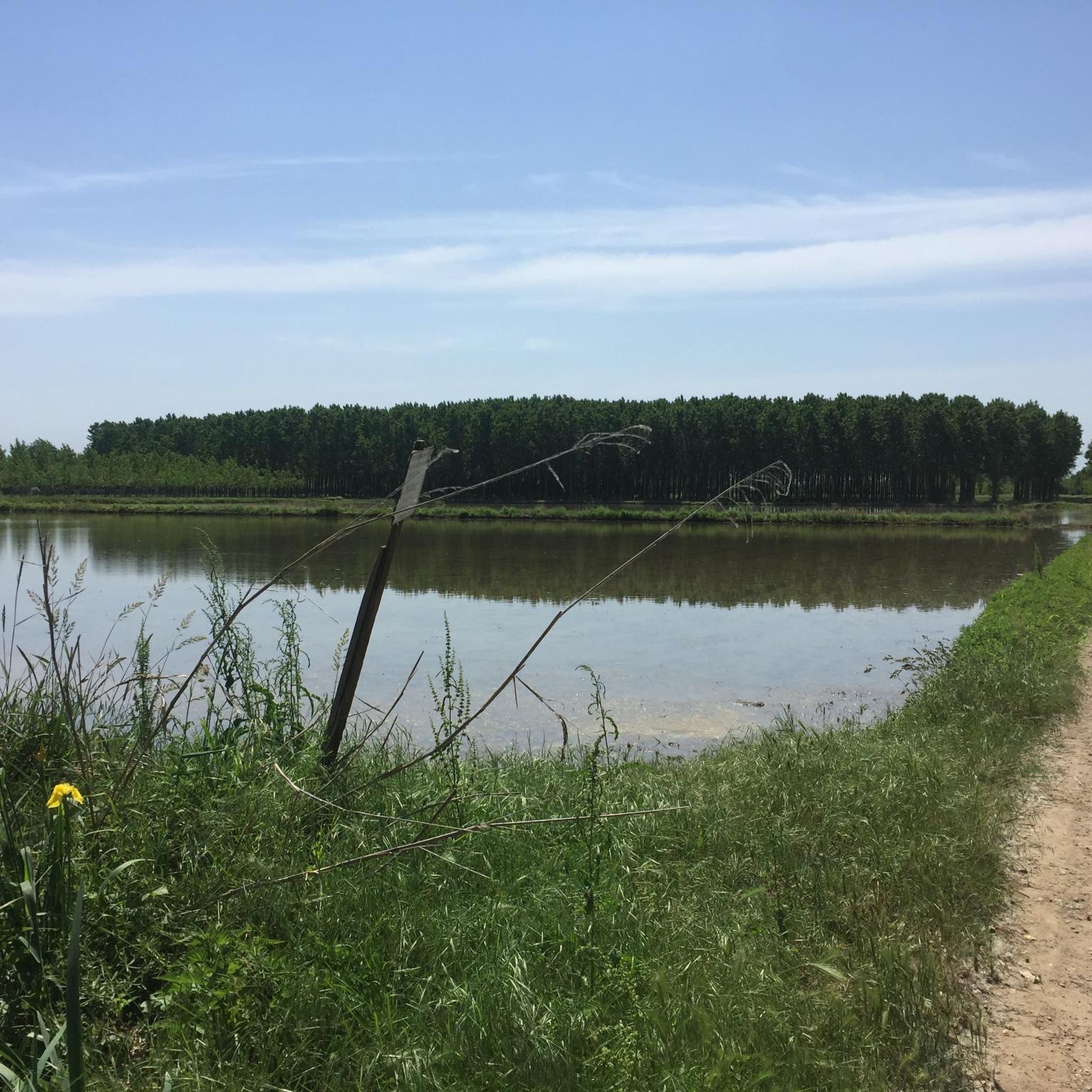
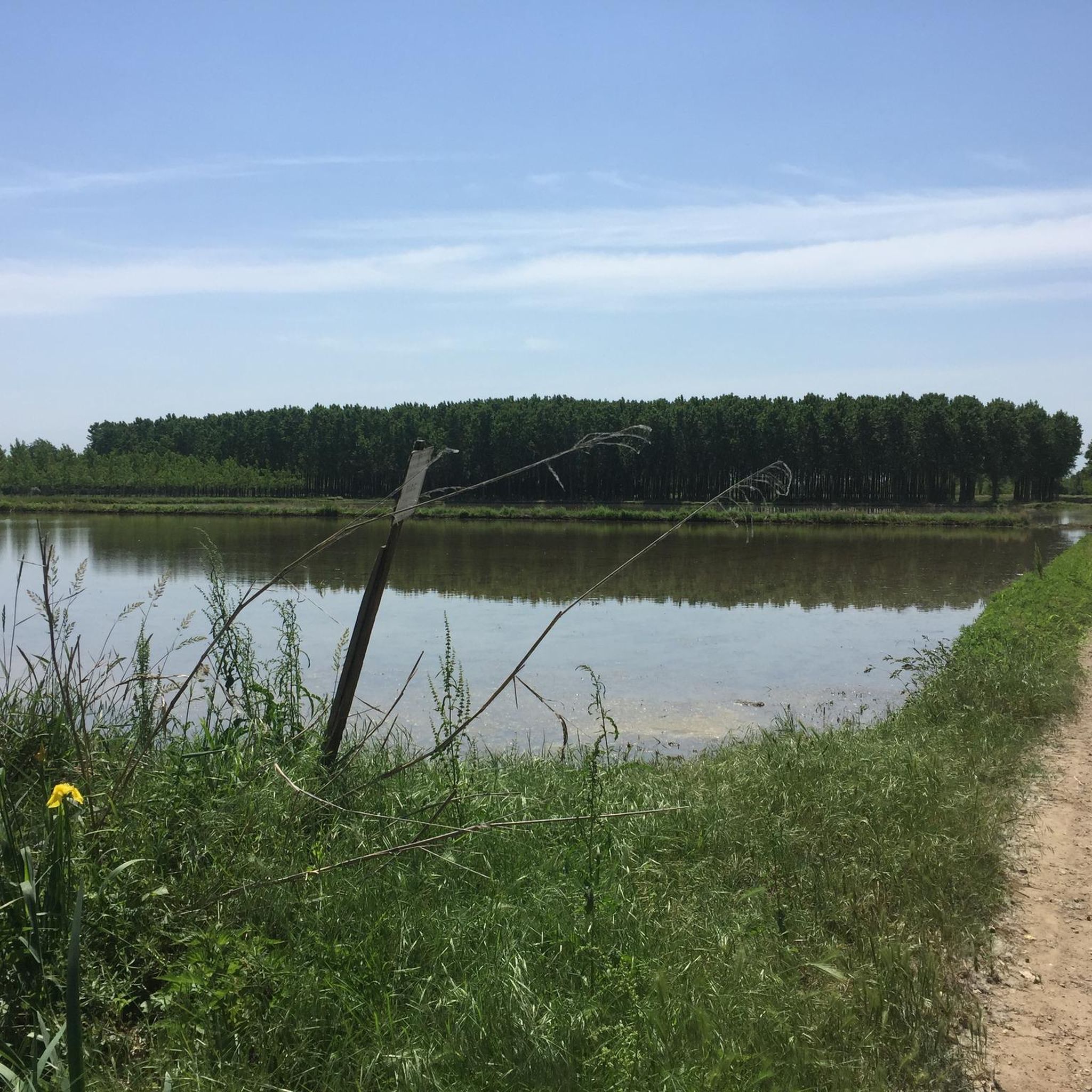
Nice road, not to be taken during the hottest hours as it is exposed to the sun and mosquitoes
0
0

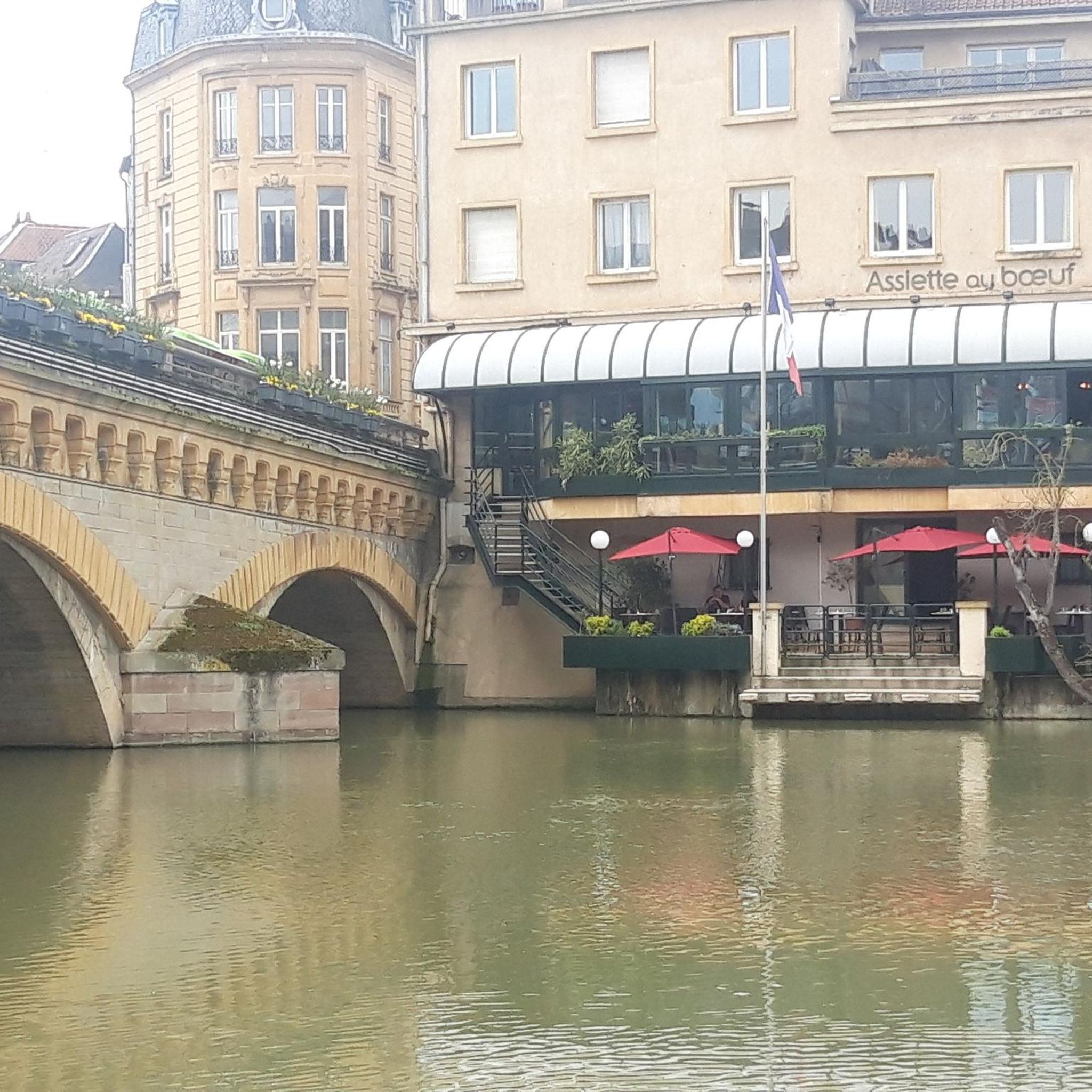
Beautiful 🌈 bridge to Cassinetta di Lugagnano🏘️
6
1

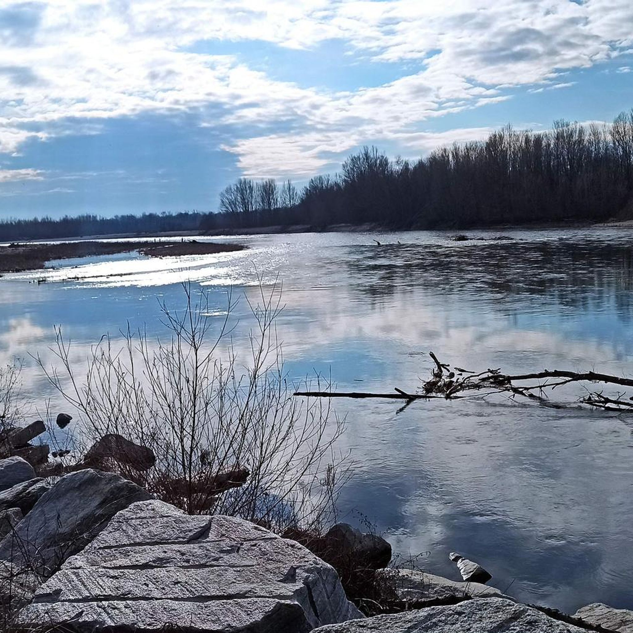
The trail runs in a very elevated position, on the edge of a plain that surrounds the outer part of a large bend of the Ticino River. The plain ends abruptly in a steep overhanging cliff caused by the erosion of the water at its base. The trail runs through greenery and flowers, in a panoramic position from which you can admire the branch from which it comes, and the one from which the water flows into the bend that flows at your feet. The large gravelly esplanades on the opposite bank inside the bend of the river are also veiled.
0
0


It would be a spectacular route but unfortunately lately, given the adverse weather, it is practically impassable along certain sections, and above all both the bridges and the fords are missing, which are now impassable. A big shame!
1
0
ベザーテでのの人気観光スポット

komootモバイルアプリでインスピレーションを得よう


さらに探索
他の地域の最高のMTBトレイルを見てみましょう。
