バランザーテのおすすめMTBライド
4.2
(2042)
7,218
ライダー
280
ライド
バランザーテ周辺には魅力的なマウンテンバイクルートがいくつもありますが、冒険を始めるにはその場所とルートを把握する必要があります。ここでは、komootが提供するバランザーテ周辺でのマウンテンバイクルートのコレクション全体を評価して選び抜いた、人気ルートをご紹介します。各ライドの詳細をぜひご覧ください。
最終更新日: 8月 20, 2026
4.5
(31)
115
ライダー
43.8km
02:53
120m
120m
中程度のマウンテンバイクライド. ある程度のフィットネスレベルが必要です。 あらゆるスキルレベルに適しています。
4.3
(19)
55
ライダー
27.0km
01:53
70m
70m
初級者向けMTBライド. あらゆるフィットネスレベルに適しています。 あらゆるスキルレベルに適しています。

無料新規登録
4.2
(11)
58
ライダー
36.8km
02:06
70m
70m
中程度のマウンテンバイクライド. ある程度のフィットネスレベルが必要です。 あらゆるスキルレベルに適しています。
5.0
(3)
29
ライダー
78.8km
05:00
410m
410m
難しいマウンテンバイクライド. 標準以上のフィットネスレベルが必要です。 あらゆるスキルレベルに適しています。
4.3
(11)
56
ライダー
24.8km
01:30
60m
60m
初級者向けMTBライド. あらゆるフィットネスレベルに適しています。 あらゆるスキルレベルに適しています。
さらに多くのルートや他のユーザーのおすすめ情報を確認できます。
無料新規登録
すでにアカウントをお持ちですか?
おすすめのツアーは他のkomootユーザーが実際に経験した何千ものアクティビティに基づいています。
無料アカウントで今日から始めよう
次の冒険が待っています。
ログインまたは登録
コミュニティからのヒント

ヴィッロレージ運河沿いの舗装路は、アレッサと近隣の自治体をサイクリングロードとサービス道路で結び、ティチーノ川とアッダ川を結ぶ人工運河沿いに快適な自転車・歩行者用ルートを提供しています。
0
0
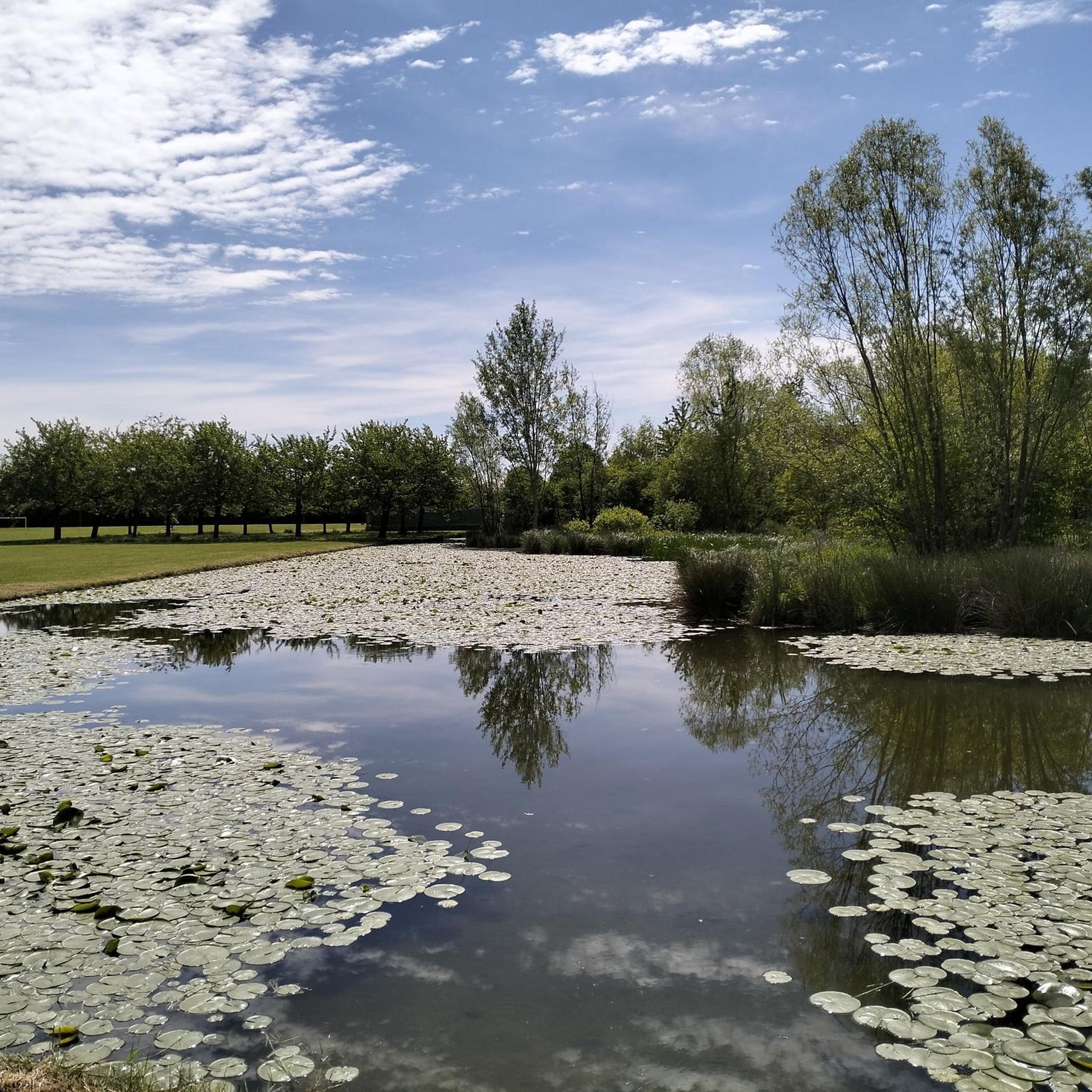
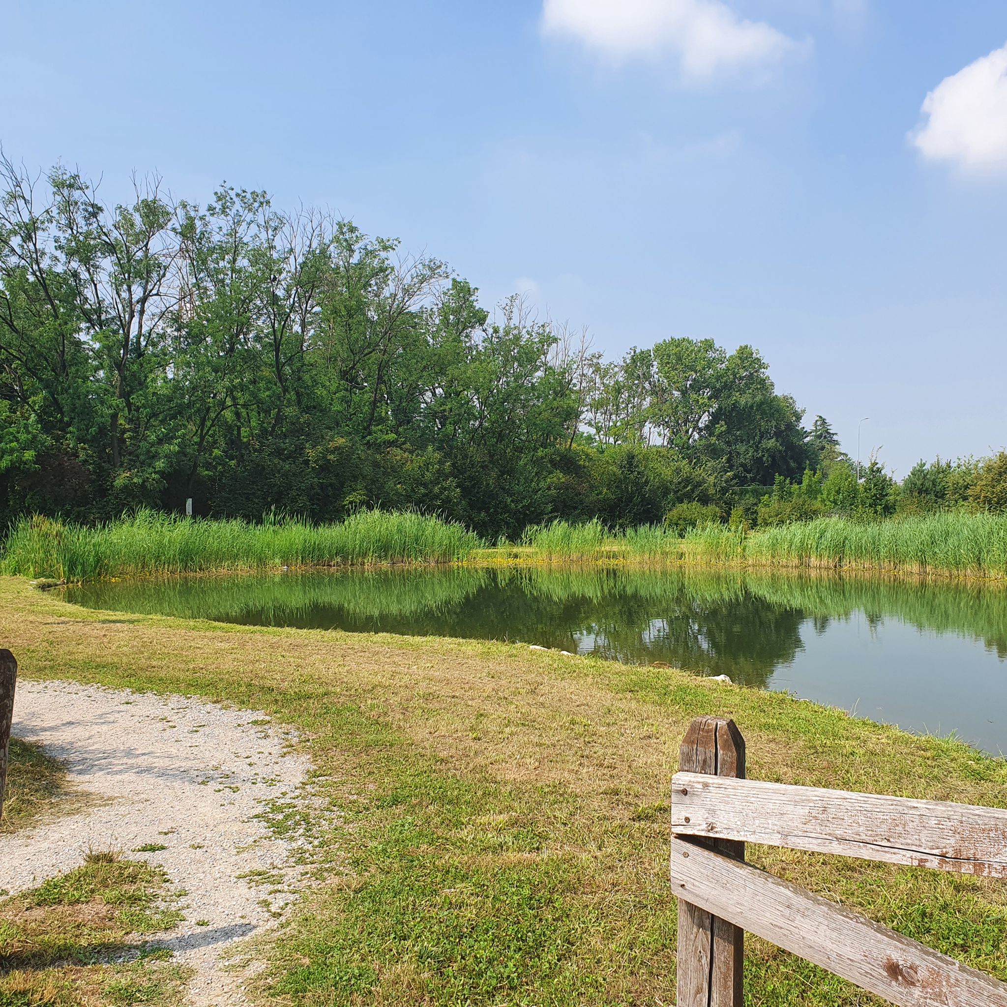
ヴィッロレージ運河は、ソンマ・ロンバルドのコムーネ、パンペルドゥート地区でティチーノ川から水を引いています。ミラノ県とモンツァ・ブリアンツァ県を86キロメートル流れた後、カッサーノ・ダッダのコムーネでアーダ川に注いでいます。 建設工事は1881年に始まり、エウジェニオ・ヴィッロレージの設計により1891年に完了しました。当初は灌漑目的のみに考えられていましたが、絹生産に関連する作物の危機の後、現在では約85,000ヘクタールの平野部に水を供給しており、そのネットワークは合計で約3,000キロメートルに達します。 難易度のない、誰でも利用できる、間違いなく興味深いこれらのルートは、水路の土手の整備に投じられた投資の一部であり、また運河が流れる各コムーネ間の迅速な連絡手段としても考慮されるべきです。
1
0
Villoresi運河の自転車道は、ロンバルディアの田園地帯を横切り、1800年代後半にエンジニアのEugenio Villoresiによって農地の灌漑のために建設された歴史的な水路であるVilloresi運河の全区間に沿っています。この運河は、Somma Lombardo付近のティチーノ川から取水し、86kmの経路を経て、GroppelloのAdda川に水を戻します。
0
0

Little traffic, always in the shade and therefore often muddy, but it is a small oasis of pleasant nature
2
0

Just be careful about the distances: the Canale Villoresi cycle path, which runs alongside the canal, is 85 kilometers long. It begins near the town of Somma Lombardo and ends near Cassano d'Adda, so unless you're very fit, we recommend doing it in stages! Along the way, the path has short sections where it merges with city streets.
0
0
It's an easy, flat cycling route, accessible to all types of bicycles and suitable for families with children. It's an ideal place for a day trip, allowing you to explore the area's rich natural and scenic beauty, cycling through cultivated fields, parks, and woods. There are several detours to explore the architectural beauty of the many towns along the canal, or to continue along the other cycle paths the canal crosses.
0
0
The Villoresi Canal cycle path traverses the Lombardy countryside, following the entire length of the Villoresi Canal, the historic waterway built for irrigation in the late 19th century by engineer Eugenio Villoresi. The canal draws water from the Ticino River near Somma Lombardo and, after an 86 km journey, returns it to the Adda River near Groppello.
2
0

Further on it becomes a difficult track
1
1
バランザーテでのの人気観光スポット

komootモバイルアプリでインスピレーションを得よう


さらに探索
他の地域の最高のMTBトレイルを見てみましょう。
