国立公園ムリーニのおすすめMTBライド
4.3
(2084)
7,531
ライダー
373
ライド
国立公園ムリーニでおすすめのマウンテンバイクルートをお探しですか?ミラノが誇るこの美しい自然公園周辺で楽しめるMTBライドを集めたkomootコレクションを参考にしてください。次のアドベンチャーでは、国立公園ムリーニの魅力をもっと発見しましょう。
最終更新日: 10月 13, 2026
4.4
(44)
179
ライダー
58.4km
03:30
180m
180m
中程度のマウンテンバイクライド. ある程度のフィットネスレベルが必要です。 あらゆるスキルレベルに適しています。
4.3
(20)
114
ライダー
72.3km
03:56
120m
120m
中程度のマウンテンバイクライド. ある程度のフィットネスレベルが必要です。 あらゆるスキルレベルに適しています。

4.4
(21)
88
ライダー
50.3km
02:59
120m
120m
中程度のマウンテンバイクライド. ある程度のフィットネスレベルが必要です。 あらゆるスキルレベルに適しています。
4.0
(6)
20
ライダー
50.5km
03:27
100m
100m
中程度のマウンテンバイクライド. ある程度のフィットネスレベルが必要です。 高度なライディングスキルが必要です。
3.6
(14)
37
ライダー
18.9km
00:56
30m
30m
初級者向けMTBライド. あらゆるフィットネスレベルに適しています。 あらゆるスキルレベルに適しています。
さらに多くのルートや他のユーザーのおすすめ情報を確認できます。
すでにアカウントをお持ちですか?
おすすめのツアーは他のkomootユーザーが実際に経験した何千ものアクティビティに基づいています。
無料アカウントで今日から始めよう
次の冒険が待っています。


コミュニティからのヒント

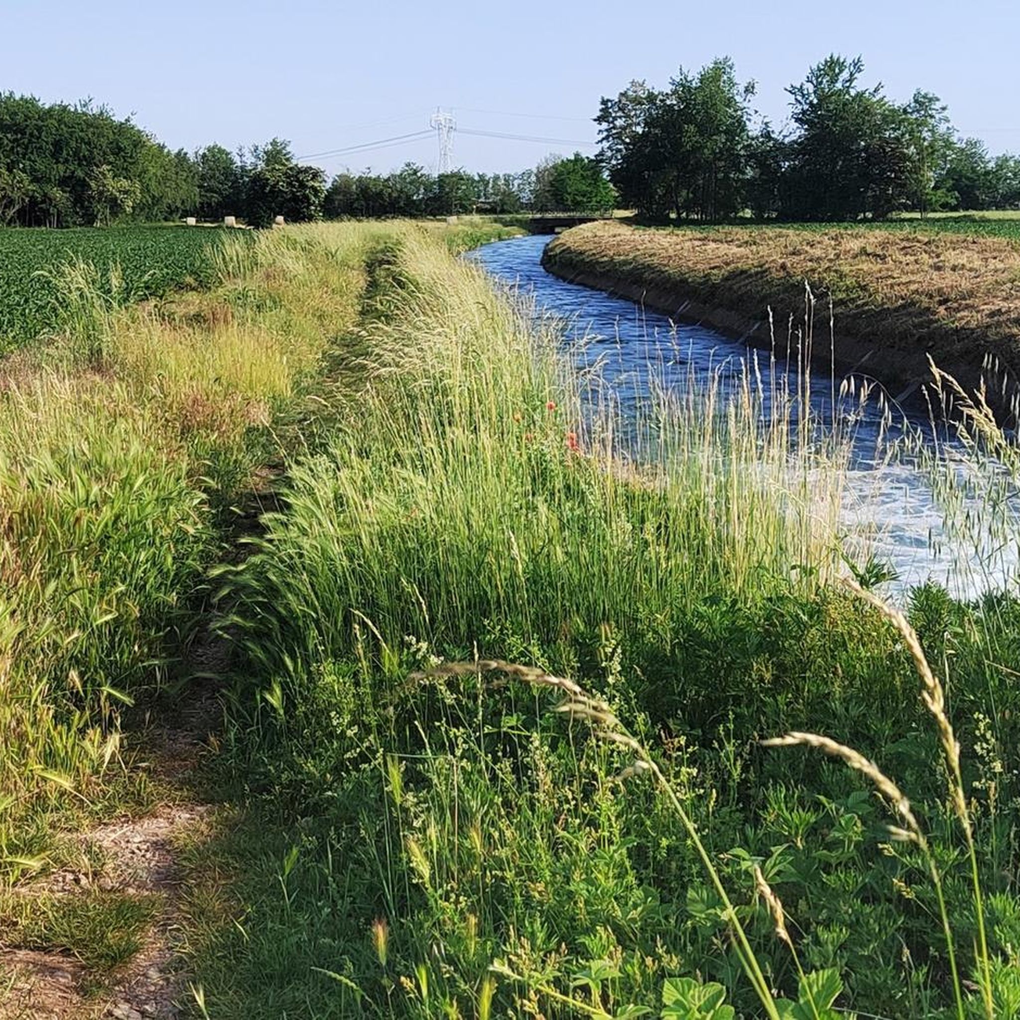
ヴィッロレージ運河は、ソンマ・ロンバルドの町、パンペルドゥートの場所でティチーノ川から水を引き入れています。ミラノとモンツァ・ブリアンツァの県を86キロメートル流れた後、カッサーノ・ダッダの町でアッダ川に注いでいます。 建設工事は1881年に始まり、エウジェニオ・ヴィッロレージの設計により1891年に完了しました。当初は完全に灌漑目的で考えられていましたが、絹の生産に関連する文化の危機の後、この運河は現在、約3000キロメートルに達するネットワークを通じて、約85000ヘクタールの平野地域に水を供給することを可能にしています。 困難がなく、誰でもアクセスでき、間違いなく興味深いルートは、河川の土手の強化に投資されたものに含まれており、運河が流れるさまざまな自治体間の迅速な接続手段としても考慮されるべきです。
1
0
ヴィッロレージ運河沿いの舗装路は、アレッサと近隣の自治体をサイクリングロードとサービス道路で結び、ティチーノ川とアッダ川を結ぶ人工運河沿いに快適な自転車・歩行者用ルートを提供しています。
0
0
Strada Alzaia Canale Villoresiは、Somma Lombardo(VA)からCassano d'Adda(MI)まで運河沿いに続く約85〜90kmのサービス道路で、Consorzio Est Ticino Villoresiによって管理されています。サイクリストやハイカーに広く利用されていますが、正式なサイクリングロードではなく、混用およびメンテナンス用の道路です。
0
0
アルツァイア・カナール・ヴィッロレージ通りは、ソンマ・ロンバルド(ヴァーレ県)からカッサーノ・ダッダ(ミラノ県)まで約85〜90kmにわたって運河沿いに続くサービス道路で、コンソルツィオ・エスト・ティチーノ・ヴィッロレージが管理しています。サイクリストやハイカーに広く利用されていますが、正式なサイクリングロードではなく、共用および保守用の道路です。
0
0
ノサテにあるLa Strada Alzaia Canale Villoresiは、ミラノ大都市圏に位置するヴィッロレージ運河サイクリングルートの中で、最も風光明媚で緑豊かで手つかずの区間の一つです。この特定のセグメントは、運河の西端にあり、水力インフラがティチーノ川から始まる地点からすぐのところにあります。
0
0
アルコナーテ領土にあるStrada Alzaia Canale Villoresiは、西ロンバルディアの同名の自転車歩行者道の最も人気があり、よく利用される区間の一つです。この特定の区間は、サイクリスト、ランナー、家族連れにとって、自然の中への理想的な逃避場所を提供します。
0
0
ヴィッロレージ運河は、ソンマ・ロンバルドのコムーネ、パンペルドゥート地区でティチーノ川から水を引いています。ミラノ県とモンツァ・ブリアンツァ県を86キロメートル流れた後、カッサーノ・ダッダのコムーネでアーダ川に注いでいます。 建設工事は1881年に始まり、エウジェニオ・ヴィッロレージの設計により1891年に完了しました。当初は灌漑目的のみに考えられていましたが、絹生産に関連する作物の危機の後、現在では約85,000ヘクタールの平野部に水を供給しており、そのネットワークは合計で約3,000キロメートルに達します。 難易度のない、誰でも利用できる、間違いなく興味深いこれらのルートは、水路の土手の整備に投じられた投資の一部であり、また運河が流れる各コムーネ間の迅速な連絡手段としても考慮されるべきです。
1
0

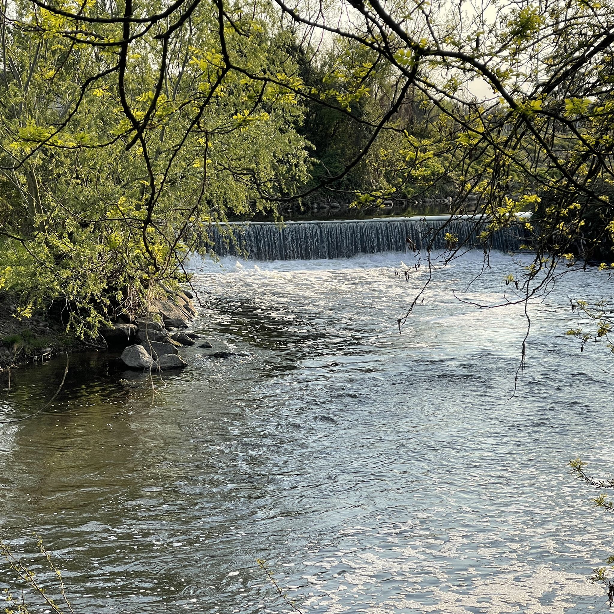
オローナ川とヴィッロレージ運河の交差点は、アルト・ミラネーゼ地方、特にパラビアゴ、ネルヴィアーノ、サン・ヴィットーレ・オローナの各コムーネの間にあります。この地域は、地元のサイクリングロード(オローナ・グリーンウェイなど)と長い灌漑用水路が交差しているのが特徴で、自然や歴史的なルートを提供しています。
1
0
国立公園ムリーニでのの人気観光スポット

komootモバイルアプリでインスピレーションを得よう


さらに探索
他の地域の最高のMTBトレイルを見てみましょう。
