バルニのおすすめウォーキング&ハイキングルート
4.4
(9543)
48,144
ハイカー
17
ハイキング
バルニ周辺でのハイキングは、景色を満喫するのに最適な手段のひとつですが、適切なハイキングルートを見つけることは簡単ではありません。 バルニ周辺の人気ハイキング&ウォーキングコースを参考にすれば、行きたいルートをすぐに見つけられます。
最終更新日: 10月 10, 2026
4.6
(41)
119
ハイカー
5.59km
02:12
270m
280m
中程度のハイキング. ある程度のフィットネスレベルが必要です。 全般的に進みやすいルートです。安定して歩行できる技術が必要です。
4.3
(3)
10
ハイカー
4.57km
01:40
220m
220m
Hike the difficult 2.8-mile Monte Castel di Leves loop, gaining 737 feet for panoramic views of Lake Como and the Colibrì ATR42 Memorial.

7
ハイカー
12.9km
05:21
740m
740m
Hike the difficult Sentiero del Tivano from Civenna to La Madonnina, offering Lake Como views and passing the Big Bench of Civenna.
4.6
(8)
27
ハイカー
10.5km
03:15
370m
370m
中程度のハイキング. ある程度のフィットネスレベルが必要です。 進みやすいルートです。あらゆるスキルレベルに適しています。
3.8
(4)
12
ハイカー
15.7km
06:25
950m
950m
難しいハイキング. 標準以上のフィットネスレベルが必要です。 安定して歩行できる技術、丈夫な靴、高標高地での登山経験が必要です。
さらに多くのルートや他のユーザーのおすすめ情報を確認できます。
すでにアカウントをお持ちですか?
おすすめのツアーは他のkomootユーザーが実際に経験した何千ものアクティビティに基づいています。
無料アカウントで今日から始めよう
次の冒険が待っています。
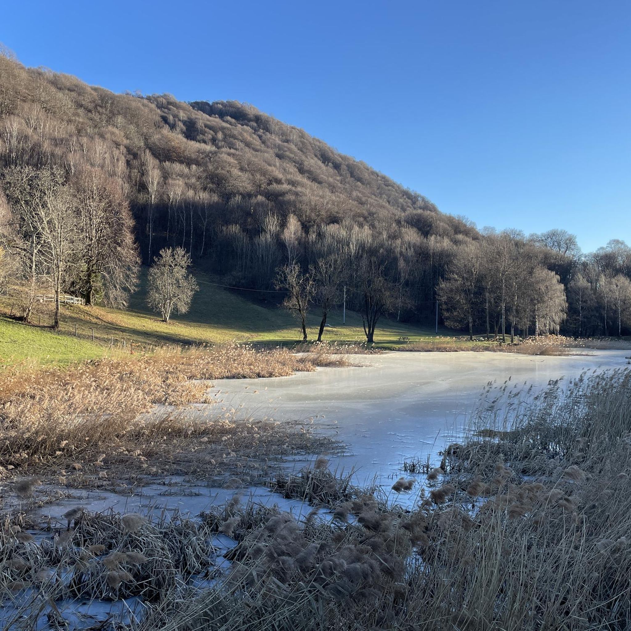
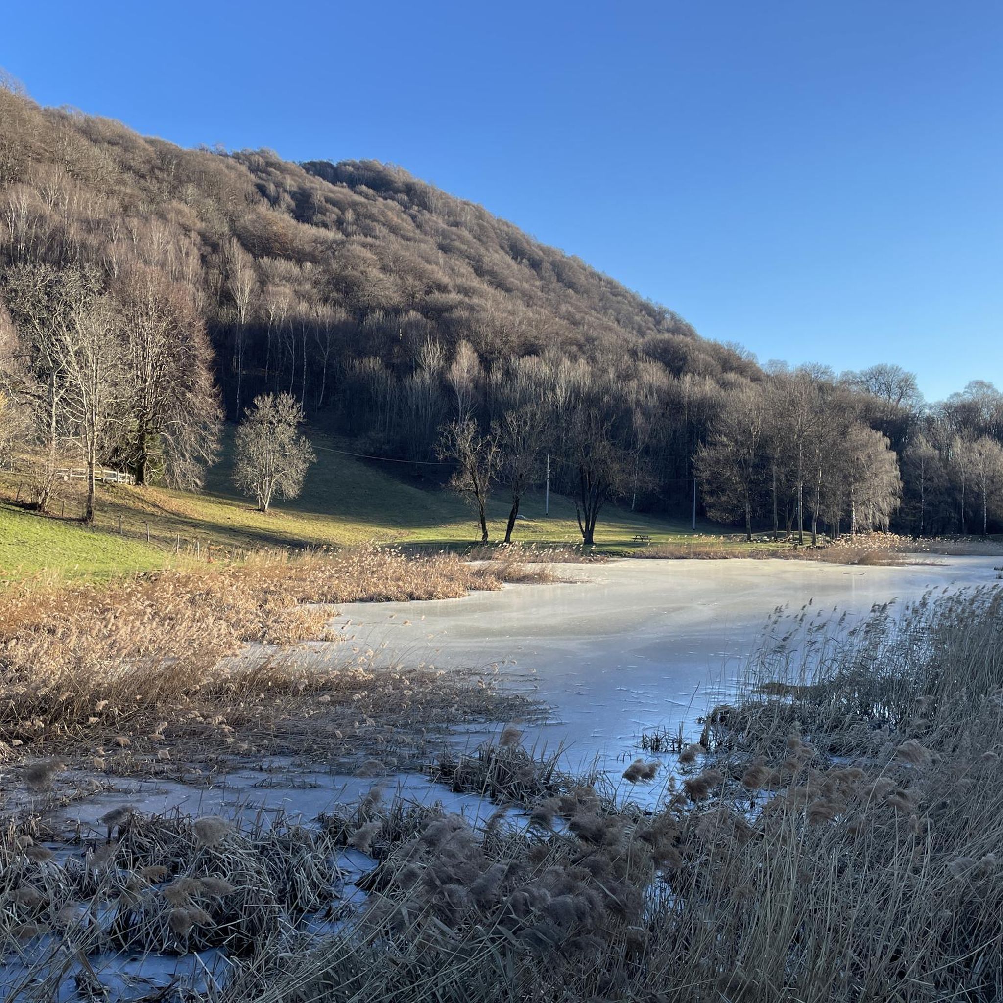
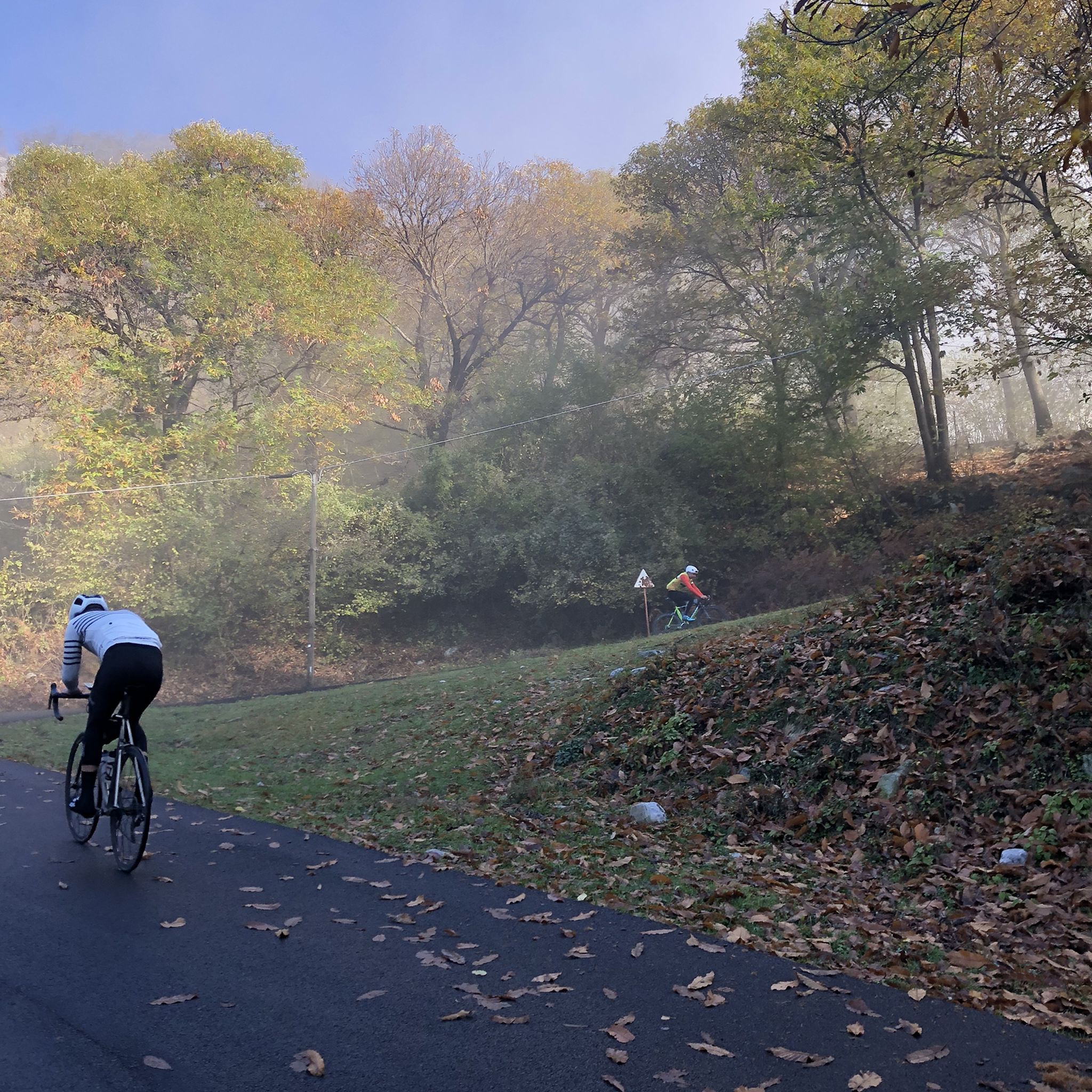
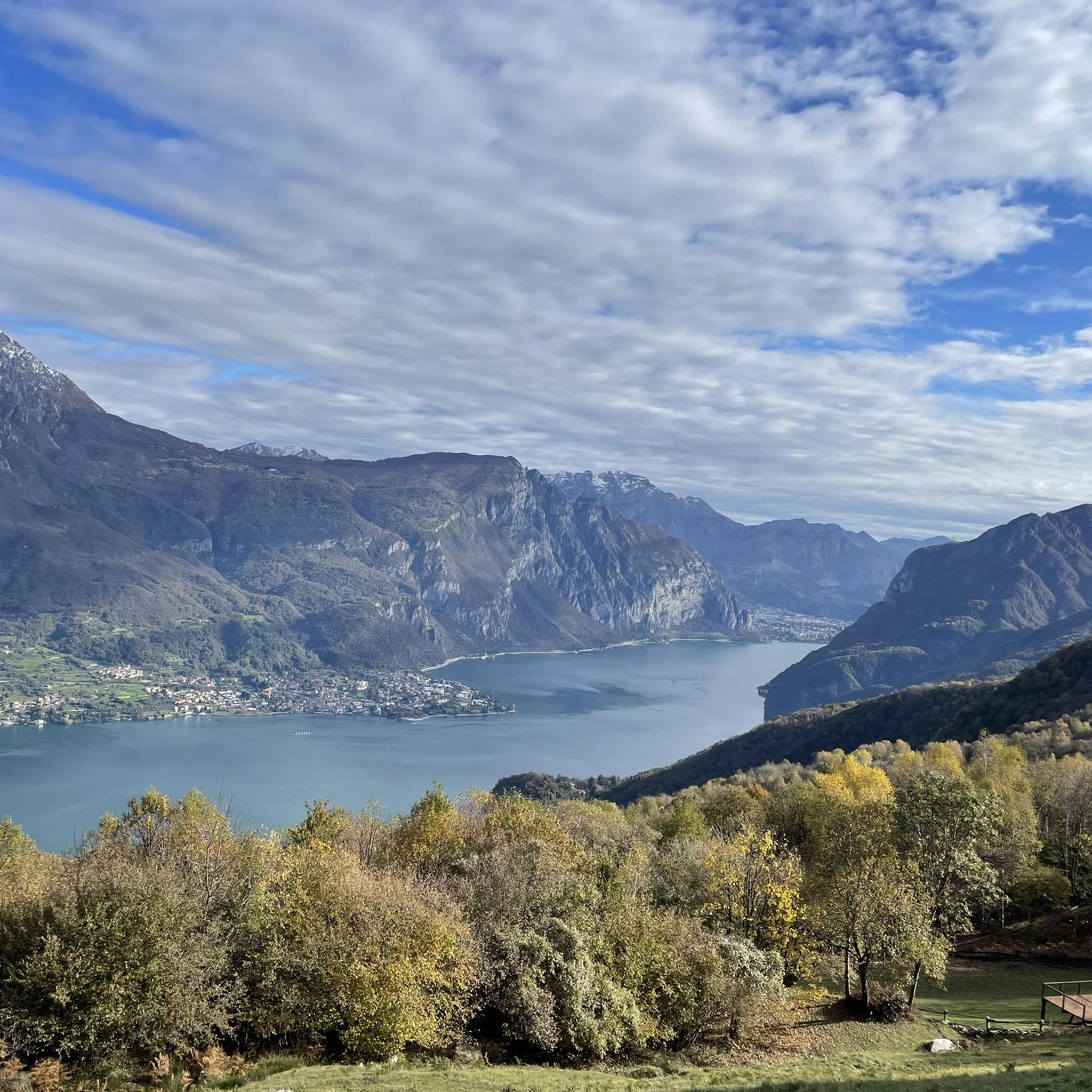

コミュニティからのヒント


この標識は頂上への最後の区間(1km)の登り口にあります。より岩が多く急な(尾根)道を行くか、緩やかな登りのトレイルを行くかを選択できます。
0
0

Here we are a few steps from the summit of Mount San Primo
0
0
It's about 40 minutes from the top of San Primo, and just below is a stable for animals. Beautiful views of Lake Como.
0
0
It is located approximately halfway from the summit of San Primo
0
0
We passed by it during a trek, there is also a small lake here
1
0

That's right, from the summit of Mount Megna you can enjoy a wide panoramic view all around. It can be reached without any particular difficulty.
1
1
Underrated peak because it offers an excellent view
0
1

komootモバイルアプリでインスピレーションを得よう


さらに探索
他の地域の最高のハイキングを見てみましょう。
