コリードのおすすめウォーキング&ハイキングルート
4.5
(5863)
27,289
ハイカー
378
ハイキング
コリード周辺でのハイキングは、景色を満喫するのに最適な手段のひとつですが、適切なハイキングルートを見つけることは簡単ではありません。 コリード周辺の人気ハイキング&ウォーキングコースを参考にすれば、行きたいルートをすぐに見つけられます。
最終更新日: 10月 31, 2026
4.6
(5)
9
ハイカー
8.03km
04:17
890m
880m
Historic partisan trail from Lake Lugano through forests to wartime resistance huts with dual lake views.
1
ハイカー
21.0km
08:01
1,340m
1,350m
Hike the difficult 13.0-mile Porlezza-Quattro Valli trail, connecting Lake Como to Lake Lugano with 4408 feet of elevation gain.

4.8
(32)
98
ハイカー
6.45km
02:04
270m
270m
中程度のハイキング. ある程度のフィットネスレベルが必要です。 歩きやすい道です。
4.4
(7)
58
ハイカー
9.59km
03:22
550m
550m
中程度のハイキング. ある程度のフィットネスレベルが必要です。 歩きやすい道です。
4.8
(24)
94
ハイカー
3.76km
01:16
180m
180m
初級者向けハイキング. 歩きやすい道です。
さらに多くのルートや他のユーザーのおすすめ情報を確認できます。
すでにアカウントをお持ちですか?
おすすめのツアーは他のkomootユーザーが実際に経験した何千ものアクティビティに基づいています。
無料アカウントで今日から始めよう
次の冒険が待っています。

コミュニティからのヒント

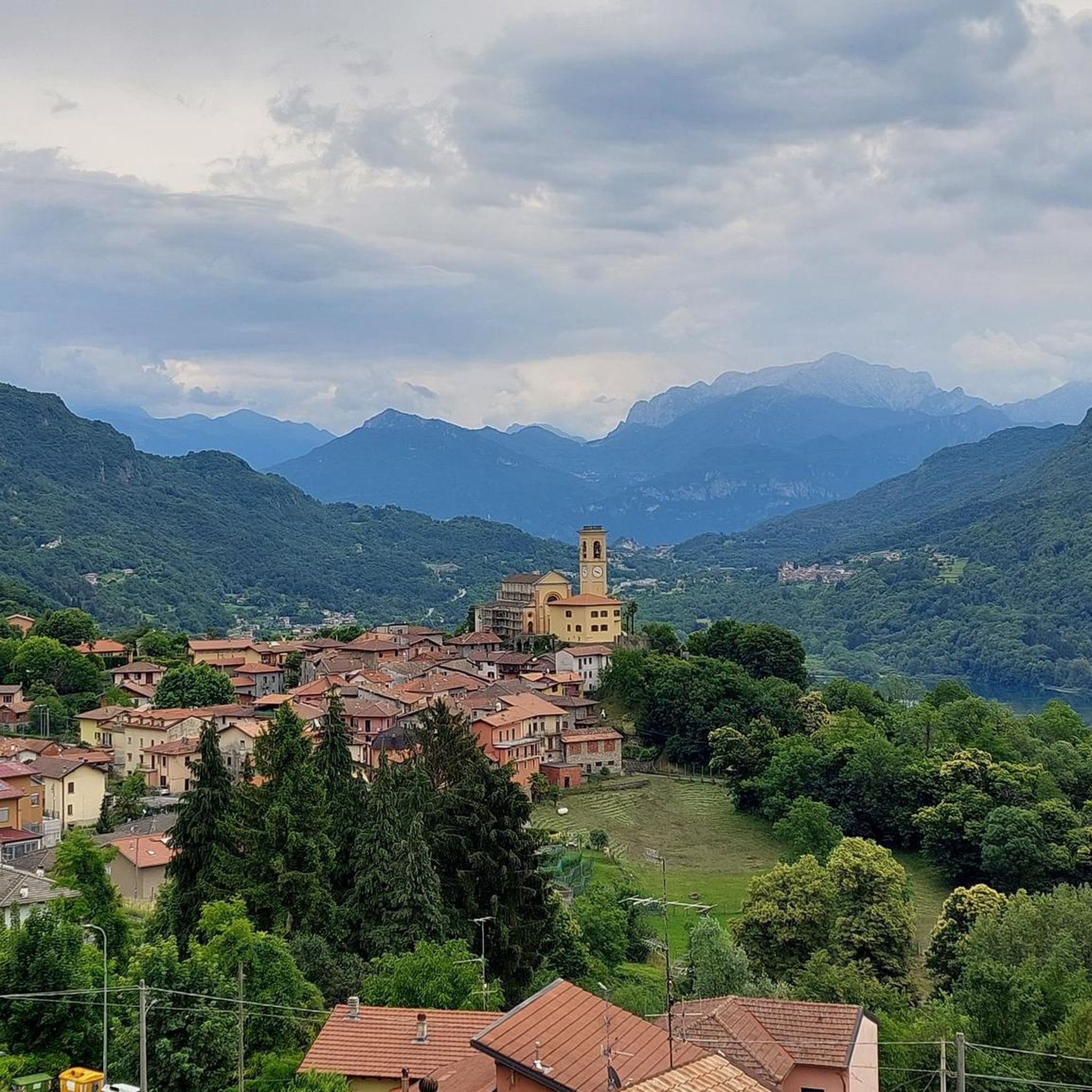
Worth seeing church above Porlezza with beautiful views over the town and the lake.
0
0
A place steeped in history from the not-so-distant past. This was a base for the Italian resistance during World War II, and the hut was used as quarters at the time.
0
0
The climb is steep and very sweaty in the sun - so the many places with wonderful views are welcome opportunities to stop and enjoy.
0
0
The square in front of the church features a beautiful fountain and benches for relaxing. A drinking water fountain is located at its southeast corner.
0
0
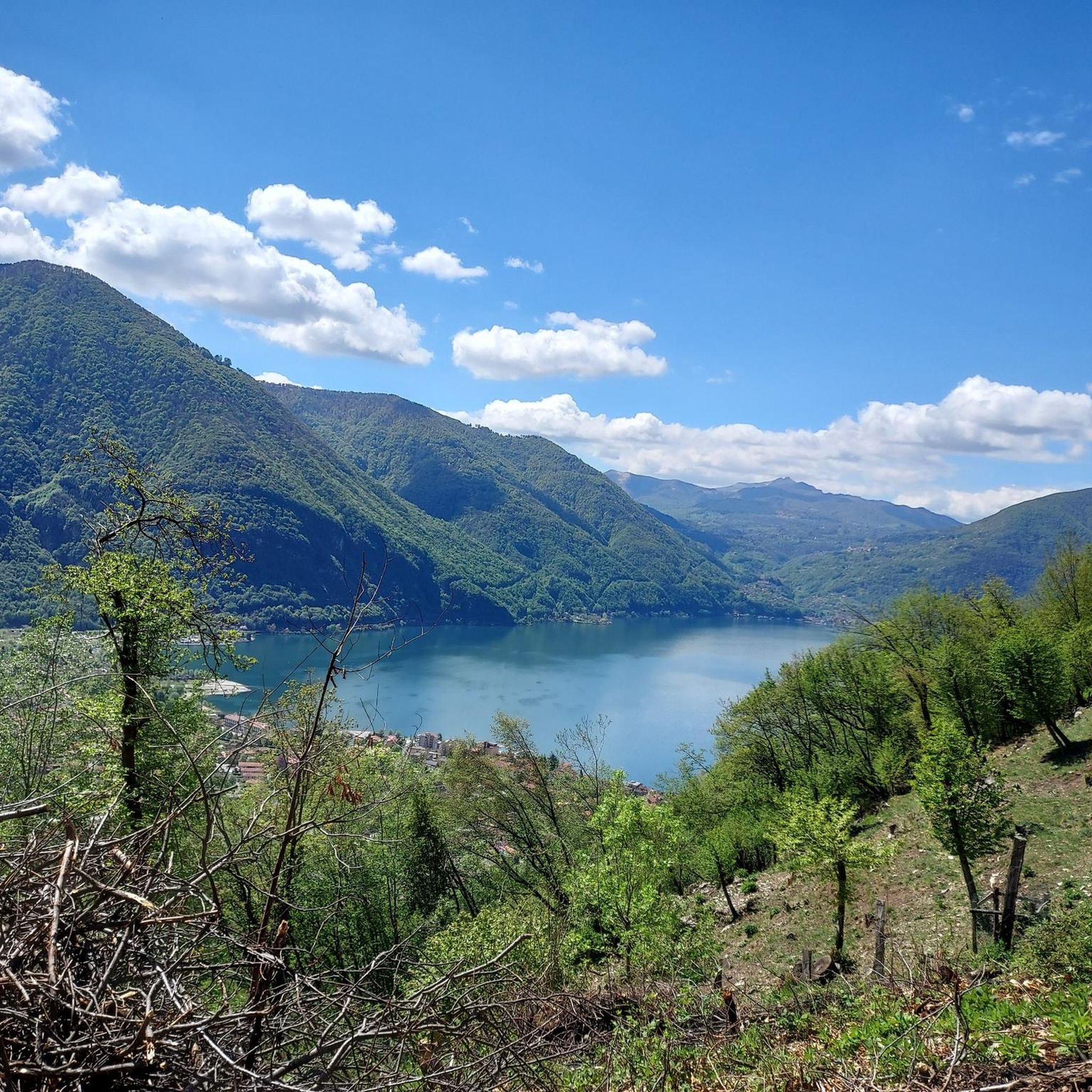
The climb offers very beautiful views, including across to Lago di Piano.
0
0
The Lungo Lago of Porlezza is not very long, but it has a lot to offer, including this fountain at its northern end.
0
0

A walk from the Begna direction, and a beautiful, challenging trail from the other side of the gorge. A dip in the waterfall is a must.
0
0

From here the path becomes increasingly steep and narrow, slippery in wet weather in winter and autumn. Difficult climb to the top. Then also very difficult descent over narrow rocky paths, then wide but steep descent to the city
0
0

komootモバイルアプリでインスピレーションを得よう


さらに探索
他の地域の最高のハイキングを見てみましょう。
