チェラーノ・ディンテヴィのおすすめウォーキング&ハイキングルート
4.5
(4629)
21,238
ハイカー
15
ハイキング
チェラーノ・ディンテヴィ周辺でのハイキングは、景色を満喫するのに最適な手段のひとつですが、適切なハイキングルートを見つけることは簡単ではありません。 チェラーノ・ディンテヴィ周辺の人気ハイキング&ウォーキングコースを参考にすれば、行きたいルートをすぐに見つけられます。
最終更新日: 11月 6, 2026
4.5
(28)
131
ハイカー
4.12km
01:22
200m
200m
初級者向けハイキング. 歩きやすい道です。
4.3
(26)
86
ハイカー
5.00km
01:49
260m
260m

4.3
(13)
44
ハイカー
5.60km
01:39
160m
170m
初級者向けハイキング. 歩きやすい道です。
4.9
(7)
55
ハイカー
5.70km
02:23
390m
390m
5.0
(2)
20
ハイカー
10.3km
03:13
380m
370m
さらに多くのルートや他のユーザーのおすすめ情報を確認できます。
すでにアカウントをお持ちですか?
おすすめのツアーは他のkomootユーザーが実際に経験した何千ものアクティビティに基づいています。
無料アカウントで今日から始めよう
次の冒険が待っています。

コミュニティからのヒント


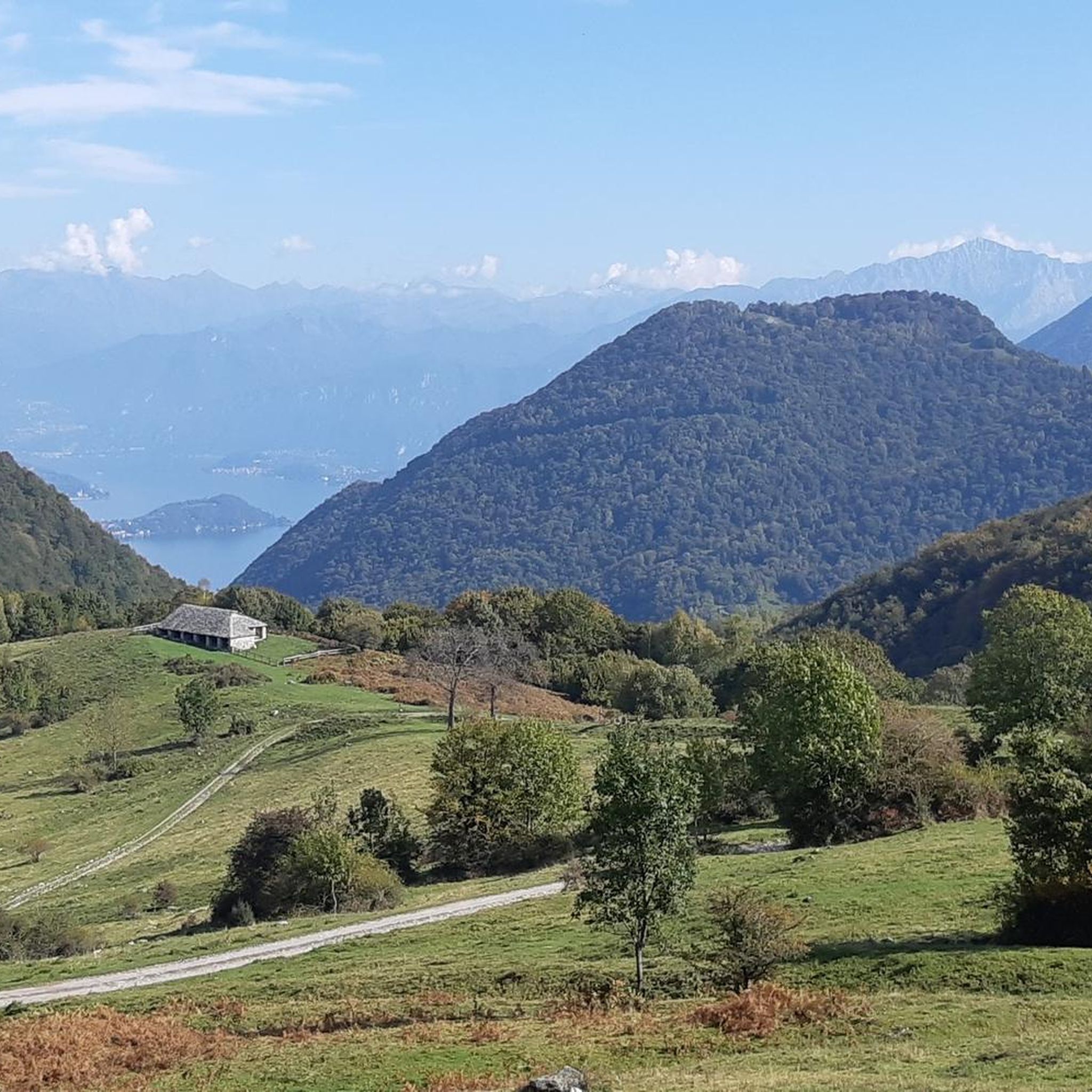
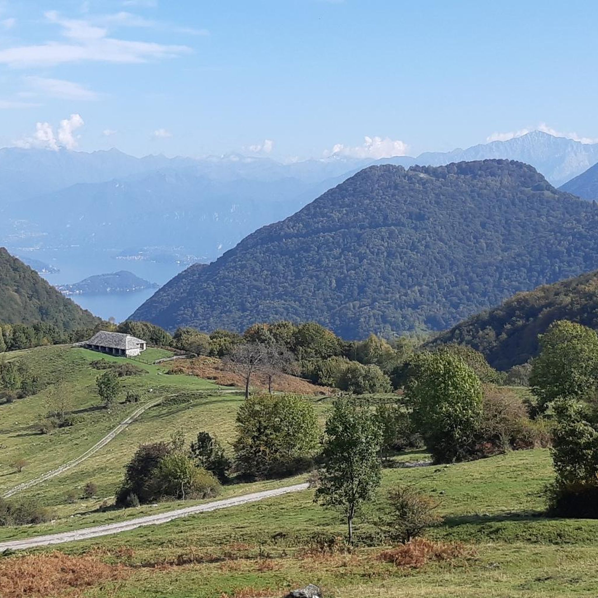
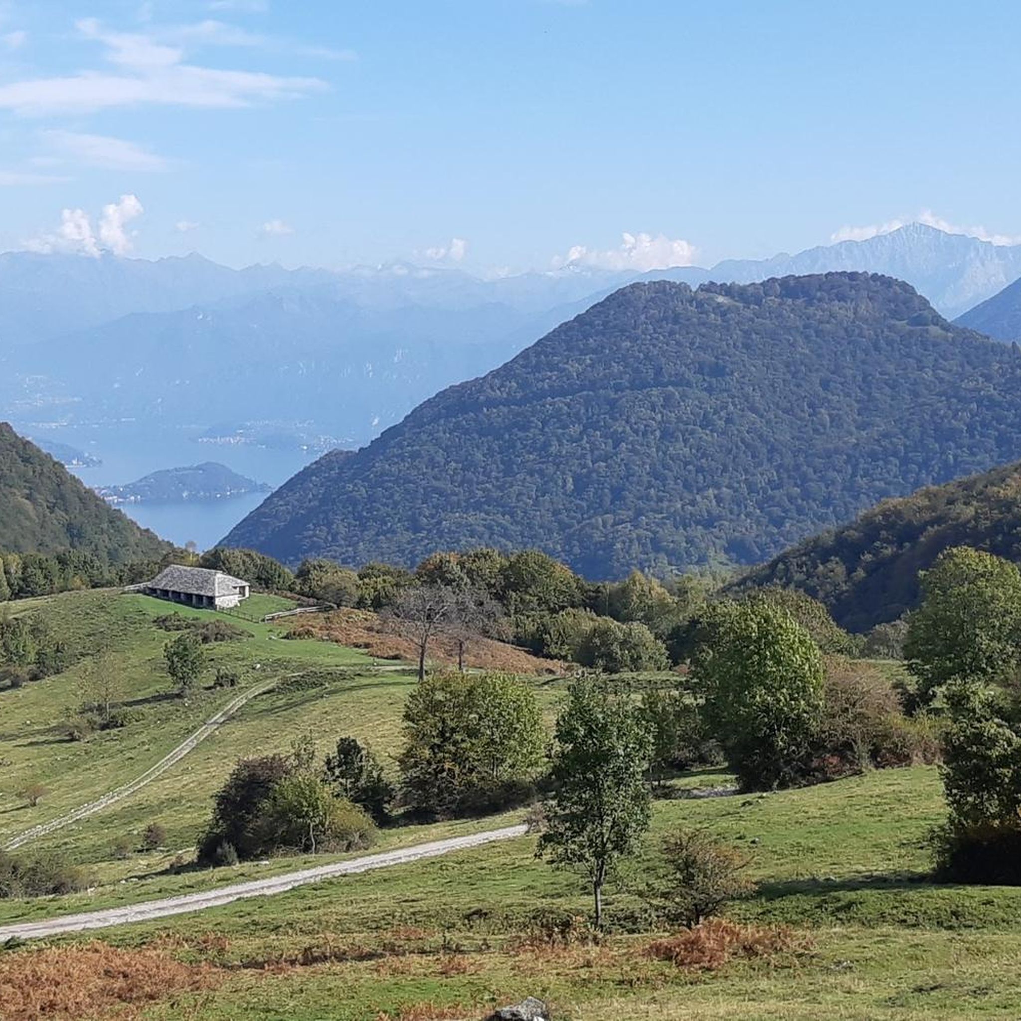
見える石造りの建物は「sòstra」で、動物の避難所です。これらの建物の特徴は、片側からしか開いておらず、風や寒さから動物を保護するように設計されていることです。詳細はこちら: https://valleintelviturismo.it/la-sostra-del-pian-delle-alpi/
0
0

Very beautiful, I reached it with a beautiful path in the middle of the woods with a gravel bike
0
0

Last refuge immediately after the Gordona rock, at the end of a challenging climb. From here you can descend towards Italy with a fairly challenging descent or turn to Valle di Muggio in Switzerland. Except for an initial section, it can even be done with a gravel. Be careful, the water is not drinkable. Excellent beers and cakes.
0
0
Excellent, refreshment point, I am on the border with Switzerland. If you continue, you go down to Valle di Muggio. Be careful that the water is not drinkable. Excellent cakes and beers. 
0
0


komootモバイルアプリでインスピレーションを得よう


さらに探索
他の地域の最高のハイキングを見てみましょう。
