カステルマルテのおすすめウォーキング&ハイキングルート
4.4
(10824)
53,849
ハイカー
605
ハイキング
カステルマルテ周辺でのハイキングは、景色を満喫するのに最適な手段のひとつですが、適切なハイキングルートを見つけることは簡単ではありません。 カステルマルテ周辺の人気ハイキング&ウォーキングコースを参考にすれば、行きたいルートをすぐに見つけられます。
最終更新日: 10月 10, 2026
4.6
(274)
1,218
ハイカー
13.4km
05:35
860m
860m
難しいハイキング. 標準以上のフィットネスレベルが必要です。 全般的に進みやすいルートです。安定して歩行できる技術が必要です。
4.6
(20)
110
ハイカー
16.3km
07:43
1,250m
1,250m
難しいハイキング. 標準以上のフィットネスレベルが必要です。 安定して歩行できる技術、丈夫な靴、高標高地での登山経験が必要です。

3.4
(16)
46
ハイカー
7.80km
02:31
290m
290m
中程度のハイキング. ある程度のフィットネスレベルが必要です。 全般的に進みやすいルートです。安定して歩行できる技術が必要です。
4.2
(13)
49
ハイカー
9.16km
03:59
730m
720m
中程度のハイキング. ある程度のフィットネスレベルが必要です。 全般的に進みやすいルートです。安定して歩行できる技術が必要です。
4.4
(5)
34
ハイカー
16.0km
06:12
930m
930m
難しいハイキング. 標準以上のフィットネスレベルが必要です。 全般的に進みやすいルートです。安定して歩行できる技術が必要です。
さらに多くのルートや他のユーザーのおすすめ情報を確認できます。
すでにアカウントをお持ちですか?
おすすめのツアーは他のkomootユーザーが実際に経験した何千ものアクティビティに基づいています。
無料アカウントで今日から始めよう
次の冒険が待っています。
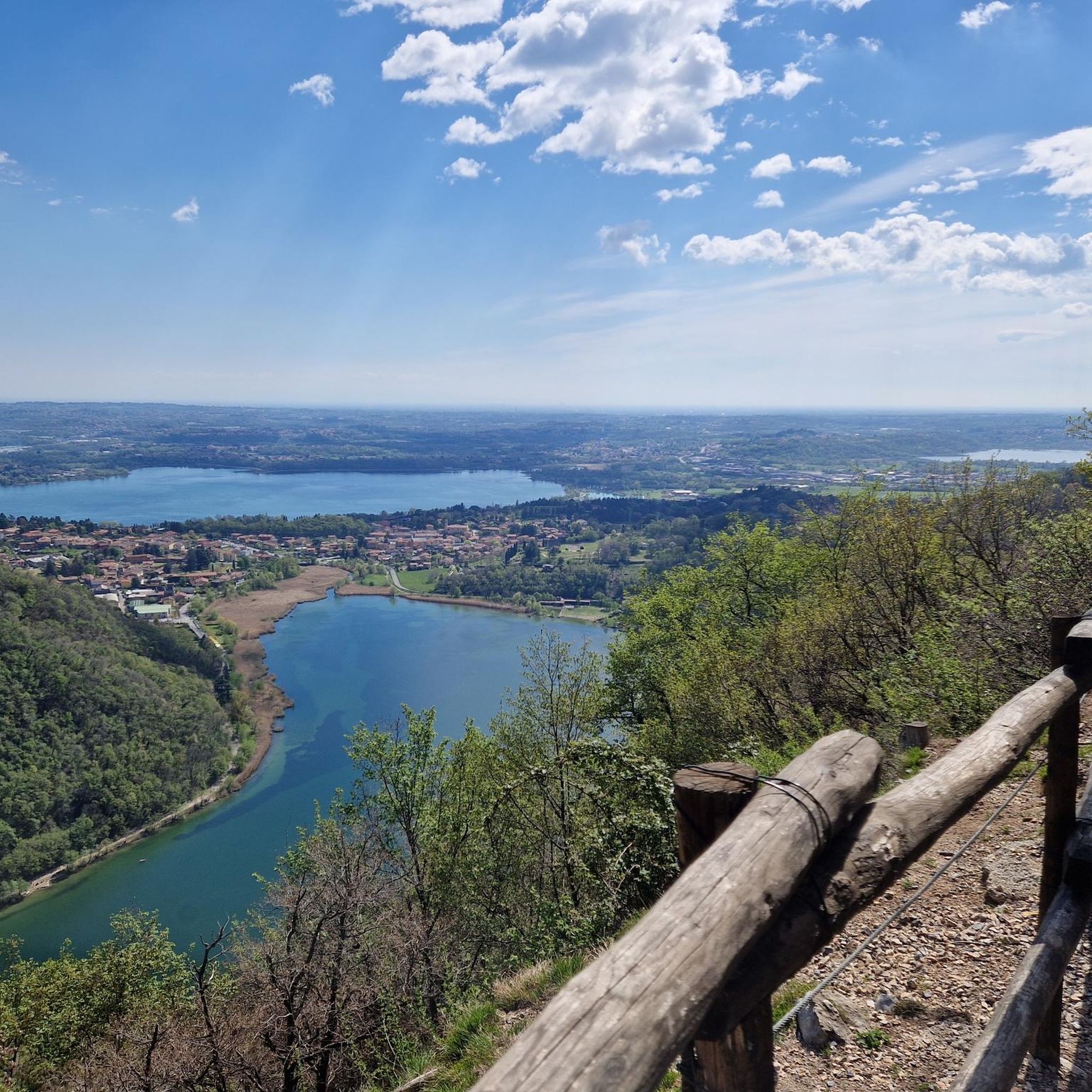
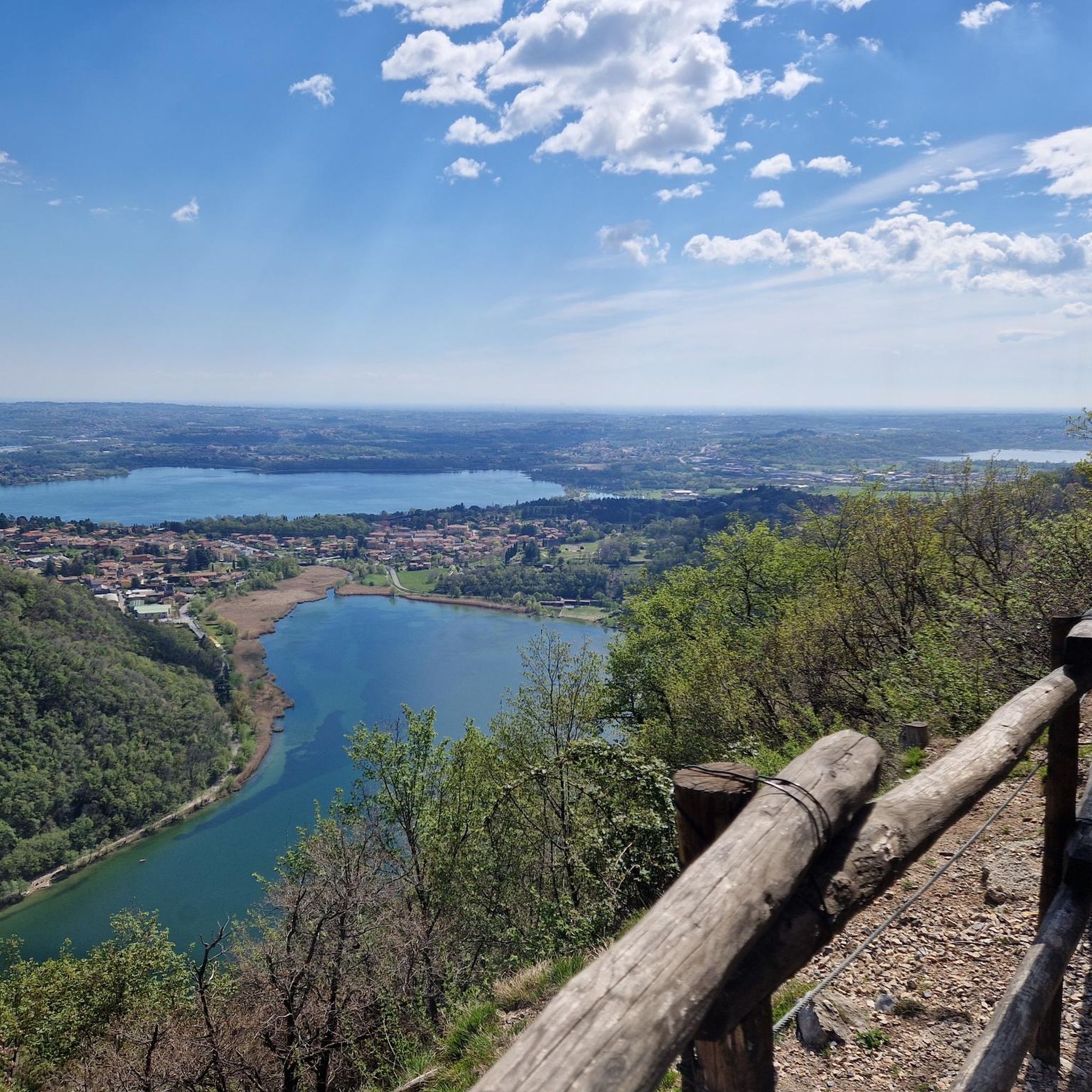
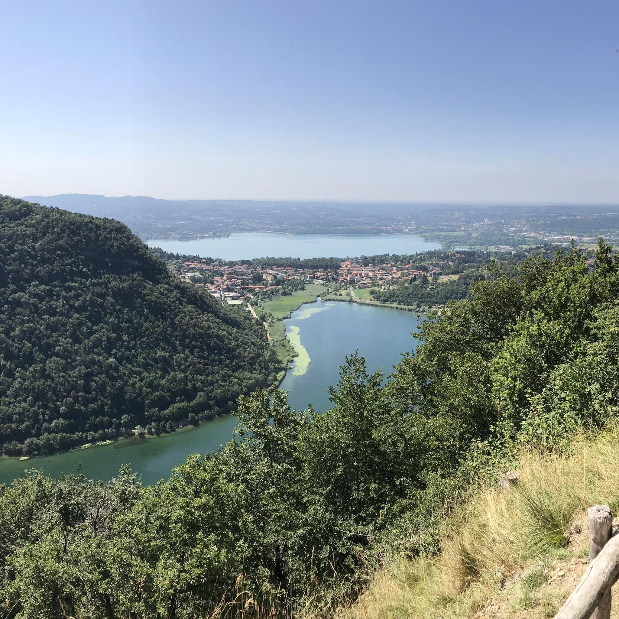
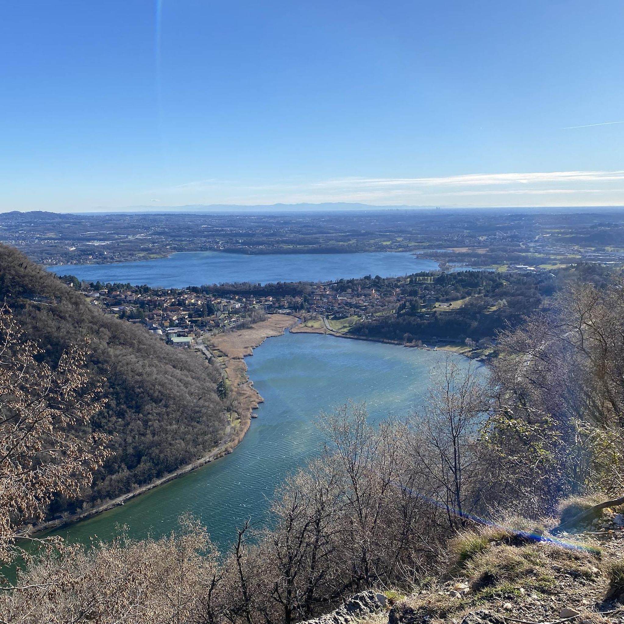

コミュニティからのヒント

ここが出発点です。駐車場はいくつかありますが、早めに着くのが一番です。
0
0

タンデムパラグライダーで飛ぶことが可能です:www.cornizzolo.comをご覧ください
0
0

From the station to the start of the trail you pass through the very pretty little town of Canzo
0
0
A less crowded mountain, it's much quieter than nearby Monte Rai, which can be seen from the summit of Monte Prasanto. Recommended and especially very sunny, even in winter!
0
0
Done downhill from Monte Prasanto, well indicated for returning to Canzo
0
0

Forcella dei CorniからCorno di Canzo Occidentaleへの登りは、EEに分類される区間をたどり、岩場や草地を通過し、簡単なクライミング箇所がいくつかあります。特に濡れた地面や岩では、確実な足運びと注意が必要です。 周囲の景色を眺めるのに最適な場所です。
0
0

We arrived at this spot which was already closed on Sunday, I think it's a nice place to eat
0
0
It is part of the return path of this excursion, let's say that it follows the entire flow of the stream until it reaches the bottom
0
0

komootモバイルアプリでインスピレーションを得よう


さらに探索
他の地域の最高のハイキングを見てみましょう。
