オーバーヴィーゼンタールのおすすめMTBライド
4.5
(497)
2,234
ライダー
91
ライド
オーバーヴィーゼンタール周辺でのマウンテンバイクは、その地形を最大限に楽しむのに最適なスポーツですが、ライドのスタート地点を探すのが難しいこともあります。オーバーヴィーゼンタール周辺でおすすめのルートが見つかるように、人気マウンテンバイクルートをご紹介します。
最終更新日: 10月 10, 2026
4.6
(50)
182
ライダー
25.3km
02:02
430m
430m
This moderate 15.7-mile mountain biking route in the Ore Mountains offers cross-border views and passes the scenic Myslivny Reservoir.
4.6
(25)
104
ライダー
60.7km
05:47
1,710m
1,710m
難しいマウンテンバイクライド. 標準以上のフィットネスレベルが必要です。 高度なライディングスキルが必要です。

4.6
(21)
104
ライダー
56.0km
05:28
1,500m
1,500m
難しいマウンテンバイクライド. 標準以上のフィットネスレベルが必要です。 高度なライディングスキルが必要です。
4.7
(12)
66
ライダー
50.0km
04:19
1,230m
1,230m
難しいマウンテンバイクライド. 標準以上のフィットネスレベルが必要です。 高度なライディングスキルが必要です。
4.8
(13)
55
ライダー
40.5km
03:38
1,010m
1,010m
難しいマウンテンバイクライド. 標準以上のフィットネスレベルが必要です。 高度なライディングスキルが必要です。
さらに多くのルートや他のユーザーのおすすめ情報を確認できます。
すでにアカウントをお持ちですか?
おすすめのツアーは他のkomootユーザーが実際に経験した何千ものアクティビティに基づいています。
無料アカウントで今日から始めよう
次の冒険が待っています。
オーバーヴィーゼンタール周辺で人気

ストーンマン・トレイル in the エルツ山地
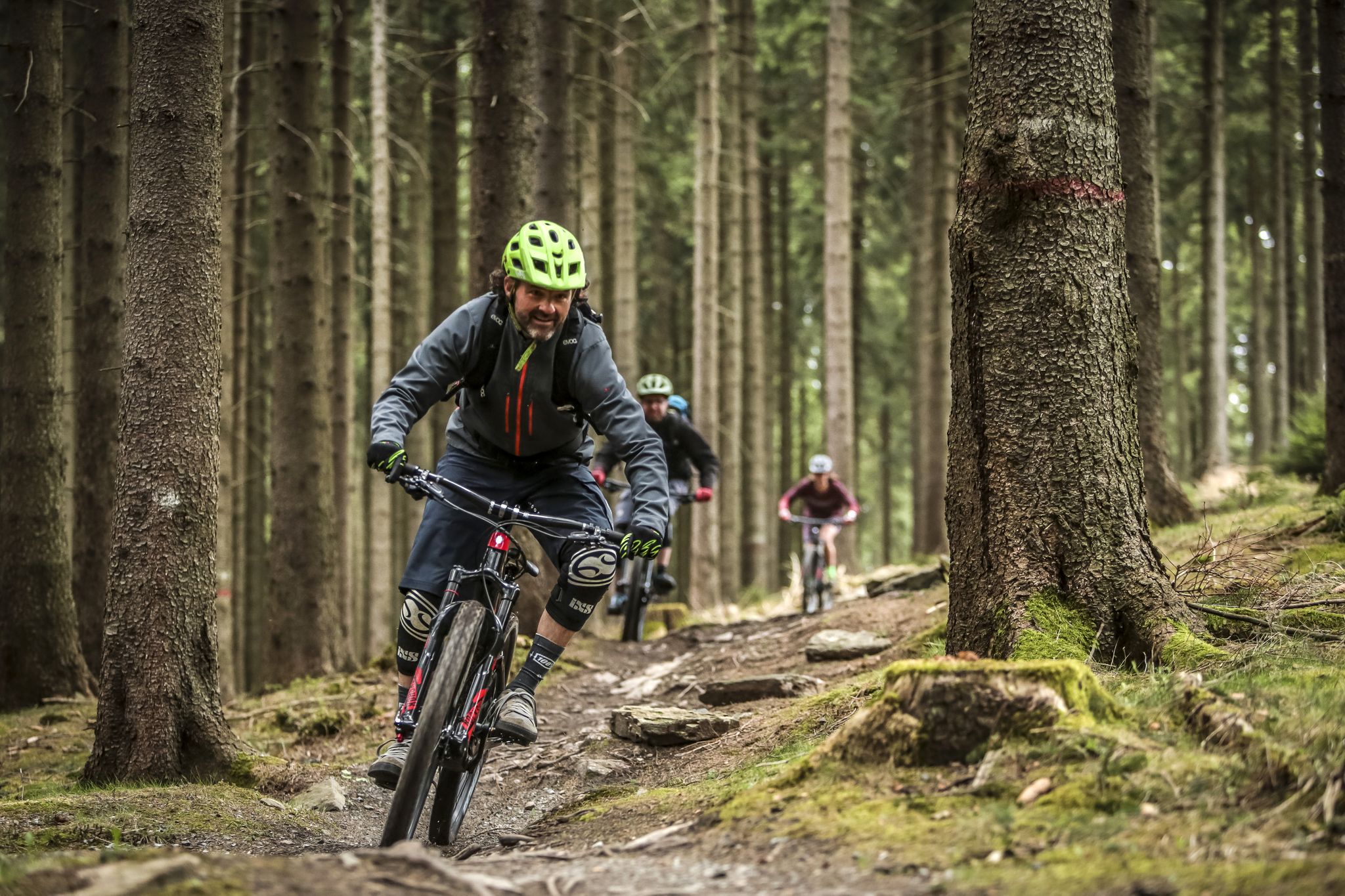
MTB adventures in Saxony
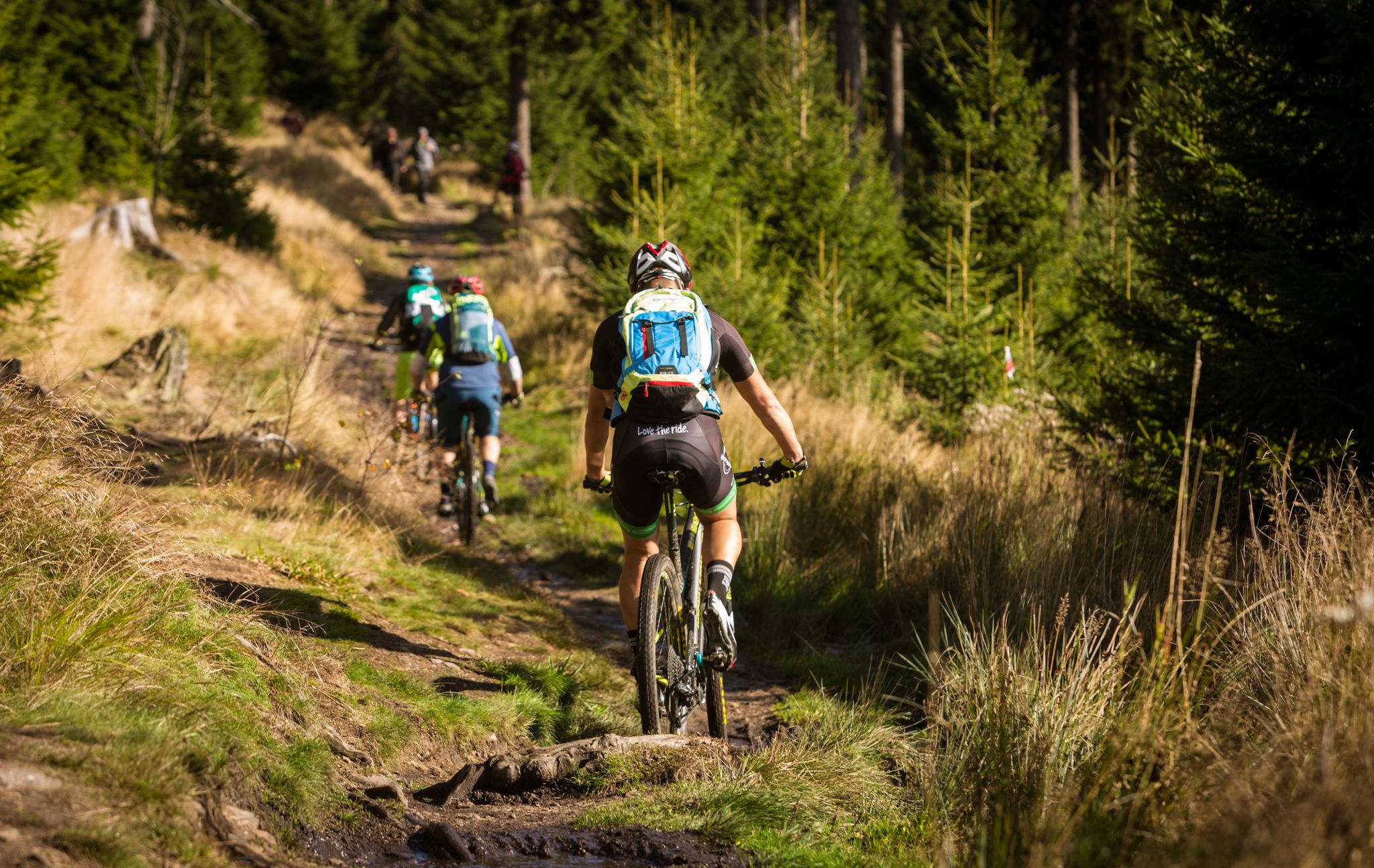
Stoneman Miriquidi MTB 全ルート(2日間 - シルバー)

Flying high on two wheels – bike holidays in the Ore Mountains
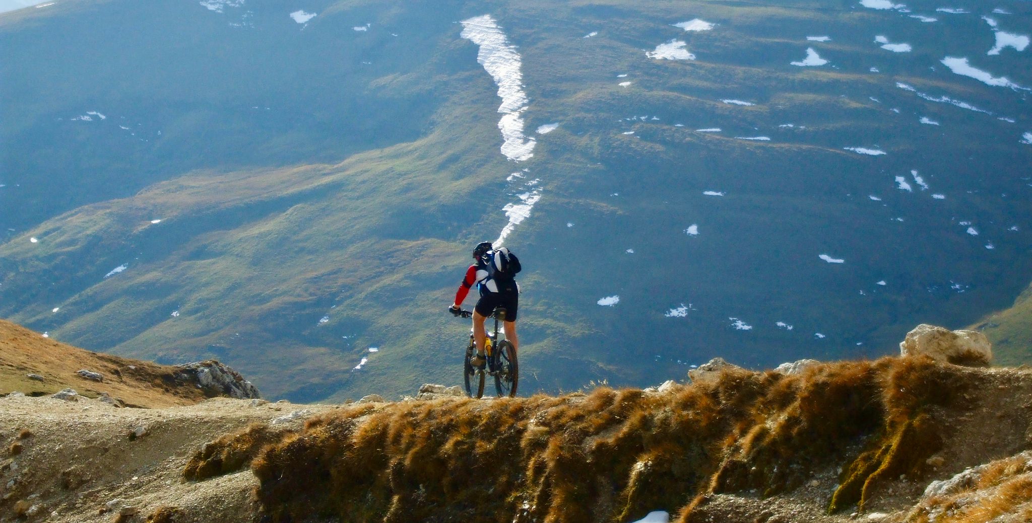
スキーリゾート内のフロートレイル
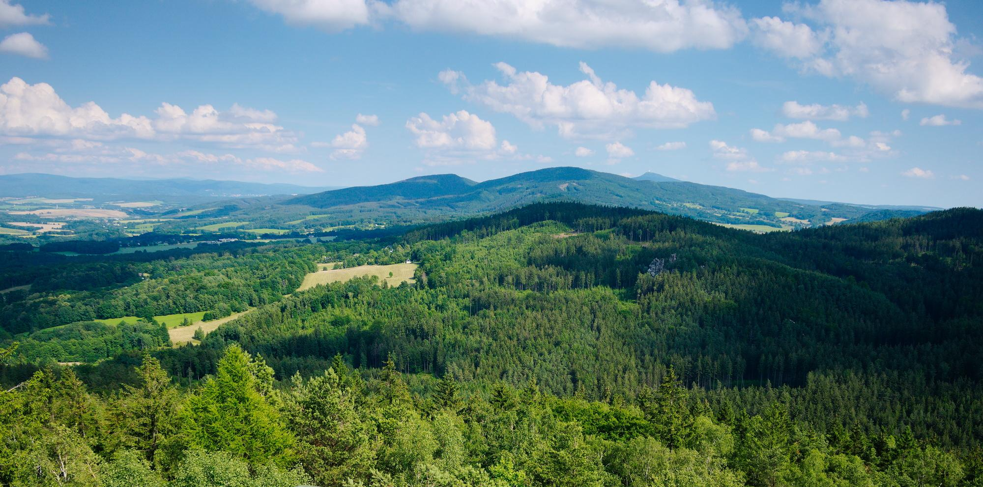
ザクセンのナショナルランドスケープ
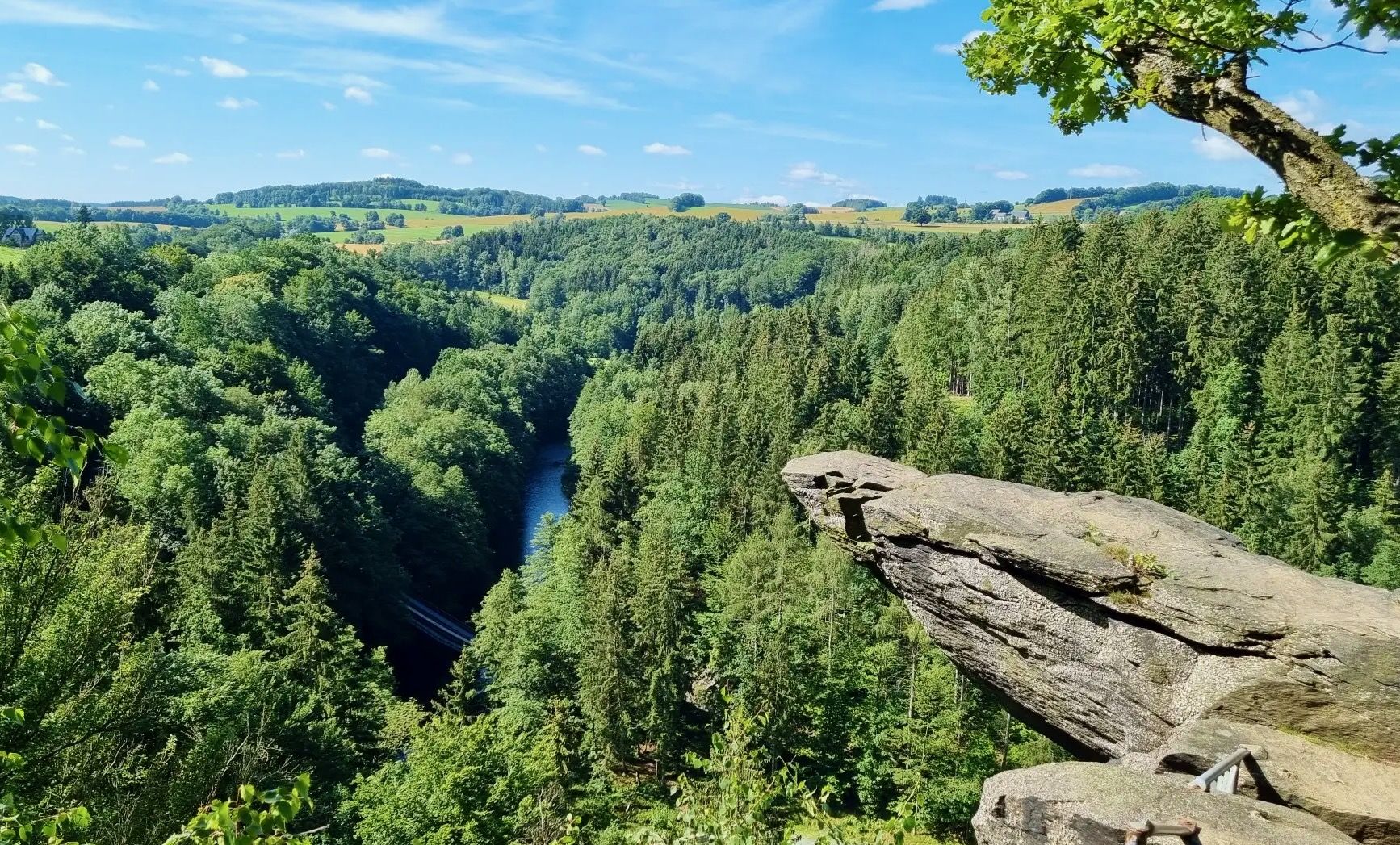
フィヒテルベルグからムルデまで - ツコパウタール沿いのハイキングコース
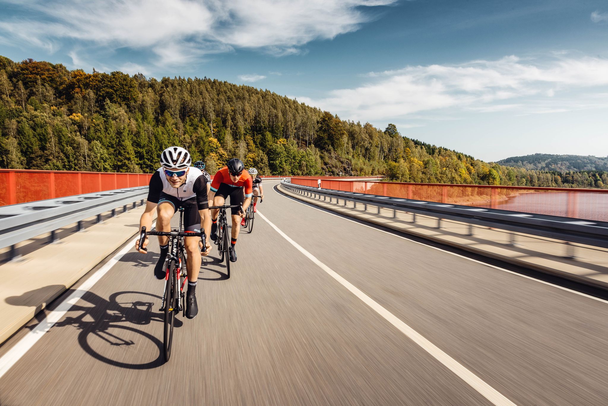
Pure road and gravel riding joy through Saxony

ストーンマン・ミリクイディ・ロードを3日間で制覇する - ブロンズツアー

ストーンマン・ミリクイディ・ロードを2日間で制覇する - シルバーツアー
オーバーヴィーゼンタールでのの他の冒険


コミュニティからのヒント


Schafbank🤔❓ そして、そこからボヘミアの森を見ることもできません。🤷♂️ 数キロメートル先です😁 しかし、それでも眺めは素晴らしいです。
0
0


The flow trail is not only part of the Stoneman route, but also by far the easiest trail in Trail Park Plešivec. Its name is Helen. Its complete route can be found here: https://www.komoot.com/de-de/highlight/7834047
0
0

The Bärenstein, the erosion remnant of a former lava flow, consists predominantly of basalt. The table mountain is 898 meters high. The summit trail leads to several worthwhile vantage points. From the summit cross, there is a beautiful view of the Cranzahl drinking water reservoir, which was commissioned in 1952.
18
1
The large peace bell on the Fichtelberg had to remain silent for six months in 2024. Stone throwing in May 2022 had so badly damaged the bell that its sound suffered. It was decided to stop ringing it and replace it with a new one. The old bell rang for the last time on Easter Monday 2024. Just in time for the mountain service on German Unity Day on October 3, the new bell was officially rung for the first time in the fall of 2024. The idea of using a peace bell to commemorate the peaceful revolution of 1989 in the GDR and German reunification in 1990 came from watchman Gerd Schlesinger and night watchman Jörg Eller from the Ore Mountains town of Schwarzenberg. The bell was also intended to be heard in neighboring Czechia and thus ring for a united Europe. The cast steel bell, already ninety years old at the time, was rung for the first time in 2010. The new bell was cast in Innsbruck by the Grassmayr company. At 2,700 kilograms, it is about 1,100 kilograms heavier than the old bell.
17
1
The first weather observer on this summit was the innkeeper of the Fichtelberghaus. He recorded his weather observations from 1890 onwards, but from 1898 onwards only intermittently, and from 1910 onwards not at all. The head of the Royal Saxon State Meteorological Observatory, Paul Schreiber, suggested the construction of a permanent weather observatory. Temperature, wind speed, and precipitation amounts have been continuously recorded here since January 1, 1916. The strongest storm recorded here was on January 3, 1976, with a peak gust speed of 216 kilometers per hour. The coldest day on the summit was February 9, 1956, with minus 30.4 degrees Celsius; the warmest was July 27, 1983, with plus 30.8 degrees Celsius. The highest snow cover was measured in March 1944: 3.35 meters. The year 1951 was bad for Fichtelberg tourists: it held the record for foggy days with 315.
13
1
オーバーヴィーゼンタールでのの人気観光スポット

komootモバイルアプリでインスピレーションを得よう


さらに探索
他の地域の最高のMTBトレイルを見てみましょう。
