ラシャウ・マルカースバッハのおすすめMTBライド
4.6
(180)
434
ライダー
38
ライド
ラシャウ・マルカースバッハ周辺でのマウンテンバイクは、その地形を最大限に楽しむのに最適なスポーツですが、ライドのスタート地点を探すのが難しいこともあります。ラシャウ・マルカースバッハ周辺でおすすめのルートが見つかるように、人気マウンテンバイクルートをご紹介します。
最終更新日: 8月 19, 2026
4.8
(28)
70
ライダー
29.2km
02:05
450m
450m
中程度のマウンテンバイクライド. ある程度のフィットネスレベルが必要です。 あらゆるスキルレベルに適しています。
4.7
(39)
60
ライダー
31.0km
02:05
440m
440m
中程度のマウンテンバイクライド. ある程度のフィットネスレベルが必要です。 あらゆるスキルレベルに適しています。

無料新規登録
4.7
(22)
42
ライダー
48.9km
03:17
670m
670m
中程度のマウンテンバイクライド. ある程度のフィットネスレベルが必要です。 高度なライディングスキルが必要です。
4.8
(21)
40
ライダー
29.6km
01:56
440m
440m
中程度のマウンテンバイクライド. ある程度のフィットネスレベルが必要です。 高度なライディングスキルが必要です。
4.5
(8)
30
ライダー
54.6km
04:55
1,450m
1,450m
難しいマウンテンバイクライド. 標準以上のフィットネスレベルが必要です。 高度なライディングスキルが必要です。ツアーの一部で自転車を押して歩く必要があるかもしれません。
さらに多くのルートや他のユーザーのおすすめ情報を確認できます。
無料新規登録
すでにアカウントをお持ちですか?
おすすめのツアーは他のkomootユーザーが実際に経験した何千ものアクティビティに基づいています。



コミュニティからのヒント


The large peace bell on the Fichtelberg had to remain silent for six months in 2024. Stone throwing in May 2022 had so badly damaged the bell that its sound suffered. It was decided to stop ringing it and replace it with a new one. The old bell rang for the last time on Easter Monday 2024. Just in time for the mountain service on German Unity Day on October 3, the new bell was officially rung for the first time in the fall of 2024. The idea of using a peace bell to commemorate the peaceful revolution of 1989 in the GDR and German reunification in 1990 came from watchman Gerd Schlesinger and night watchman Jörg Eller from the Ore Mountains town of Schwarzenberg. The bell was also intended to be heard in neighboring Czechia and thus ring for a united Europe. The cast steel bell, already ninety years old at the time, was rung for the first time in 2010. The new bell was cast in Innsbruck by the Grassmayr company. At 2,700 kilograms, it is about 1,100 kilograms heavier than the old bell.
17
1
The first weather observer on this summit was the innkeeper of the Fichtelberghaus. He recorded his weather observations from 1890 onwards, but from 1898 onwards only intermittently, and from 1910 onwards not at all. The head of the Royal Saxon State Meteorological Observatory, Paul Schreiber, suggested the construction of a permanent weather observatory. Temperature, wind speed, and precipitation amounts have been continuously recorded here since January 1, 1916. The strongest storm recorded here was on January 3, 1976, with a peak gust speed of 216 kilometers per hour. The coldest day on the summit was February 9, 1956, with minus 30.4 degrees Celsius; the warmest was July 27, 1983, with plus 30.8 degrees Celsius. The highest snow cover was measured in March 1944: 3.35 meters. The year 1951 was bad for Fichtelberg tourists: it held the record for foggy days with 315.
13
1

The station is located on the summit next to the Fichtelberghaus, but is not accessible.
5
0

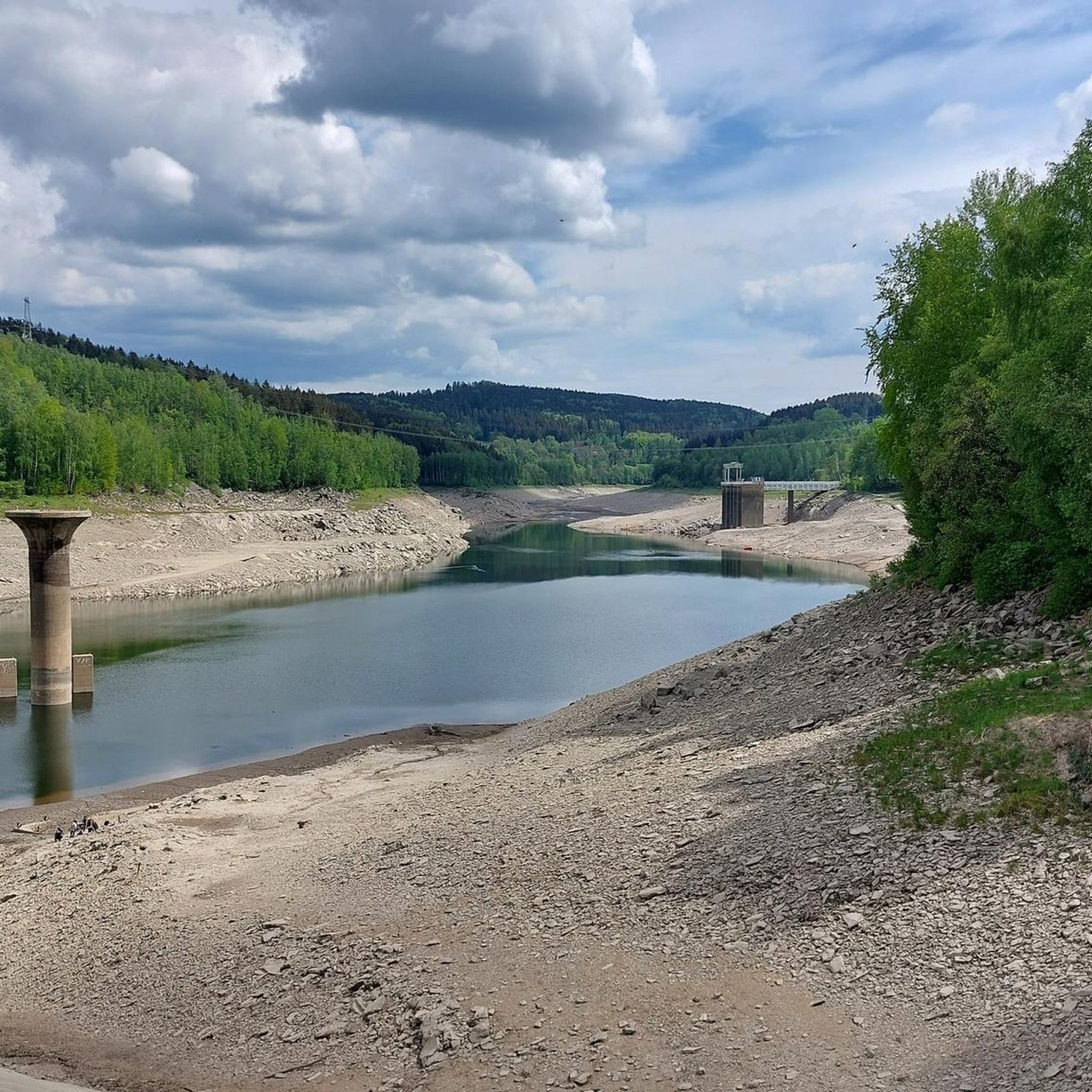
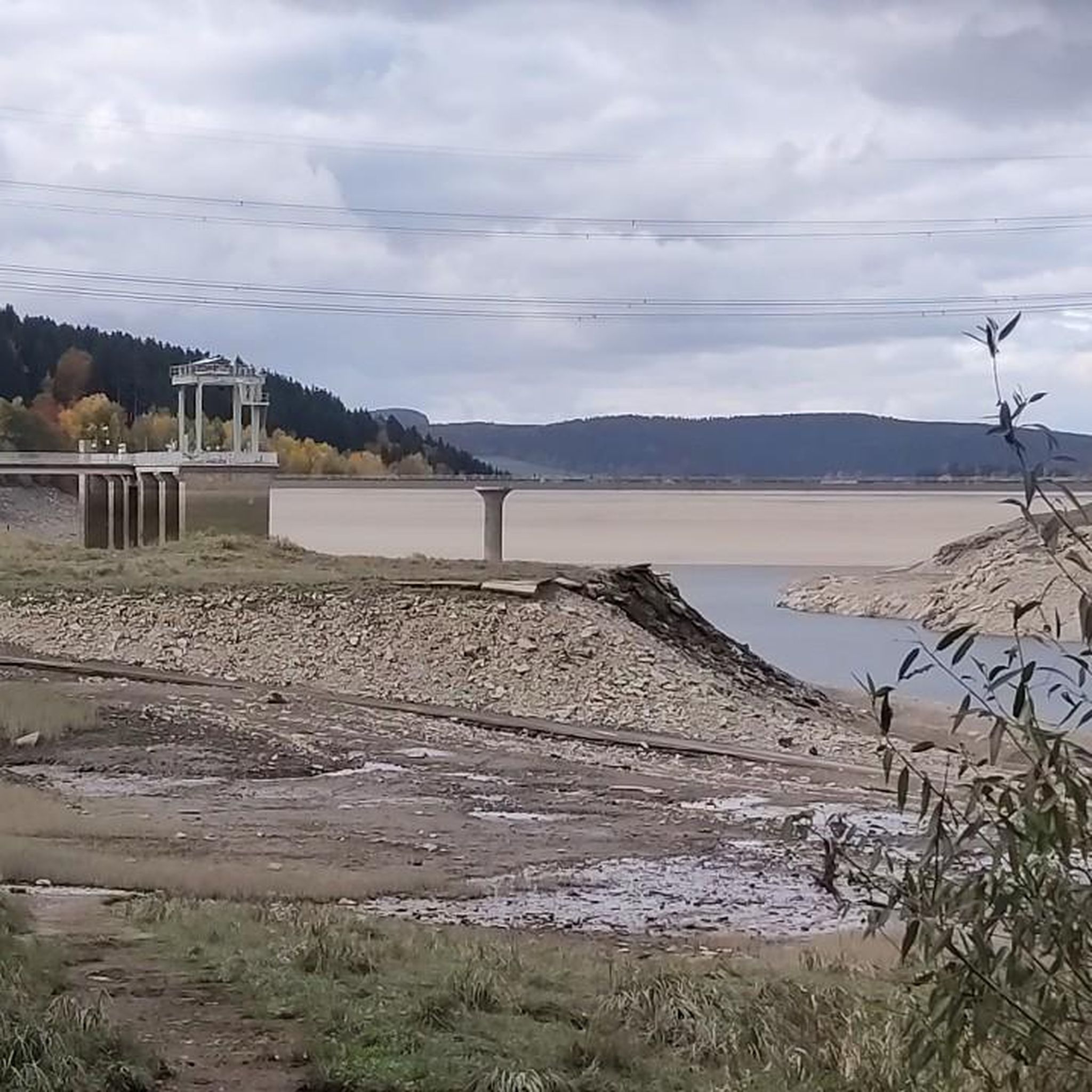
June 16, 2024 ATTENTION: Checkpoint sign is green – not light blue! We almost missed the Stoneman Checkpoint Oberbecken. As we came out of the forest, we noticed the green anniversary sign, but we didn't realize it was the checkpoint – simply because we were expecting the typical light blue color. Luckily, we had entered all the checkpoints into our GPS devices beforehand. So we quickly realized we had already passed them. So: As soon as you come out of the forest and see the solar panels in front of you, which are attached to the slope of the reservoir – be sure to look to your left > green sign! 😊
2
0

When I see a ski jump like that in front of/below me, I understand even less how you can ski down it.
1
0
ラシャウ・マルカースバッハでのの人気ルート

komootモバイルアプリでインスピレーションを得よう


さらに探索
他の地域の最高のMTBトレイルを見てみましょう。
