4.7
(181)
525
ライダー
47
ライド
ラウター・ベルンスバッハ周辺でのマウンテンバイクは、その地形を最大限に楽しむのに最適なスポーツですが、ライドのスタート地点を探すのが難しいこともあります。ラウター・ベルンスバッハ周辺でおすすめのルートが見つかるように、人気マウンテンバイクルートをご紹介します。
最終更新日: 7月 10, 2026
4.8
(34)
101
ライダー
49.7km
03:28
750m
750m
中程度のマウンテンバイクライド. ある程度のフィットネスレベルが必要です。 あらゆるスキルレベルに適しています。
4.7
(9)
31
ライダー
44.1km
03:42
710m
710m
中程度のマウンテンバイクライド. ある程度のフィットネスレベルが必要です。 高度なライディングスキルが必要です。

無料新規登録
5.0
(3)
21
ライダー
31.2km
02:29
650m
650m
中程度のマウンテンバイクライド. ある程度のフィットネスレベルが必要です。 あらゆるスキルレベルに適しています。
4.9
(17)
46
ライダー
27.2km
02:03
470m
470m
中程度のマウンテンバイクライド. ある程度のフィットネスレベルが必要です。 高度なライディングスキルが必要です。
4.6
(7)
22
ライダー
40.0km
03:20
820m
820m
中程度のマウンテンバイクライド. ある程度のフィットネスレベルが必要です。 あらゆるスキルレベルに適しています。
さらに多くのルートや他のユーザーのおすすめ情報を確認できます。
無料新規登録
すでにアカウントをお持ちですか?
おすすめのツアーは他のkomootユーザーが実際に経験した何千ものアクティビティに基づいています。
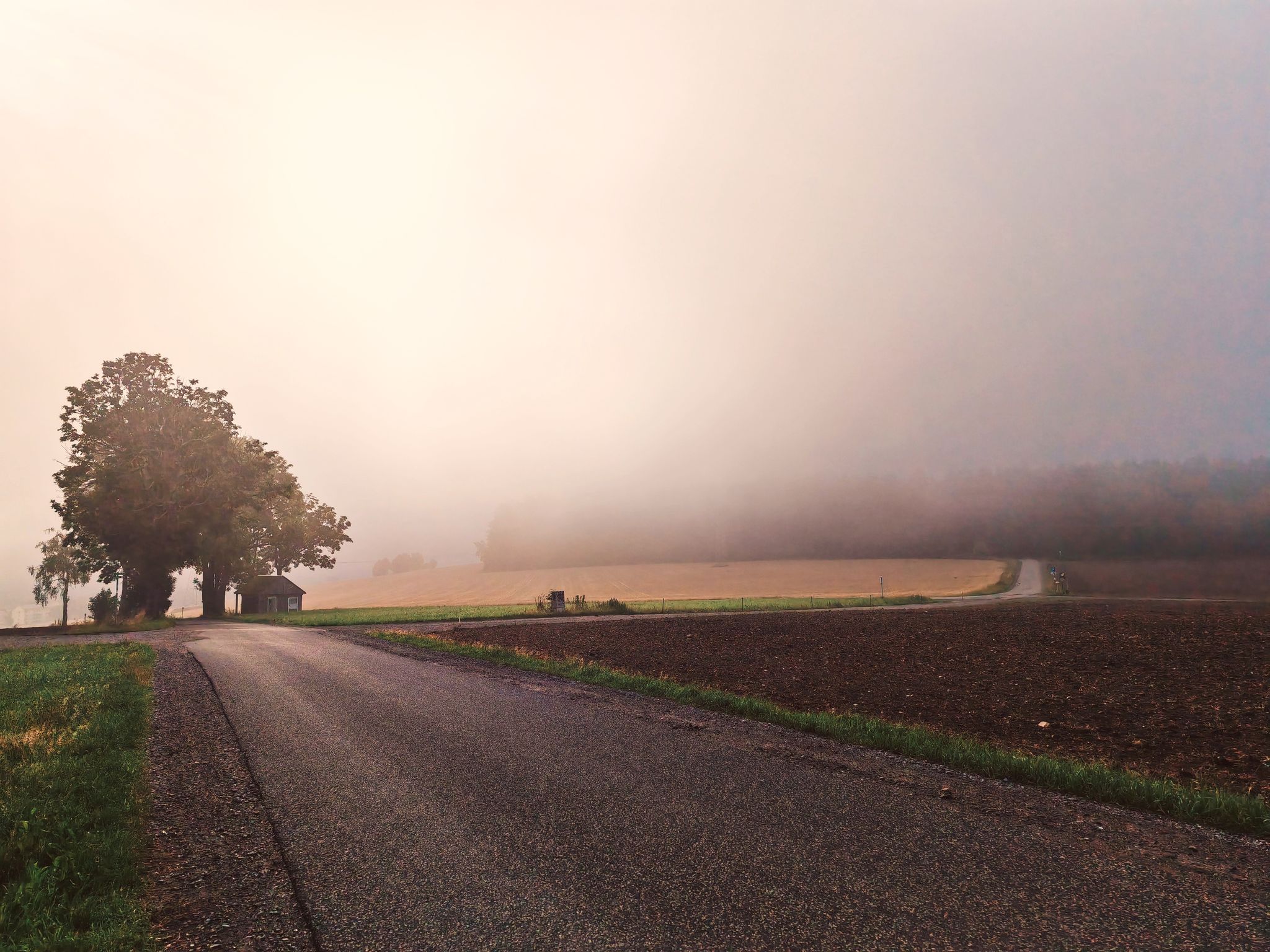
ツヴェンツァーの「お気に入りの場所」が2024年11月に新装開店しました。 「古い鉄道から谷を越え、トリニティ教会の塔からツィーゲンベルクまで、雨が降っていなければ、私たちの故郷の街の素晴らしい眺めが楽しめます。立ち止まって、こんなにのどかに暮らせることに感謝できる場所です。ここでは広大さを楽しみ、故郷への愛を感じることができます。」 2024年5月には、この美しい「場所」のために2つのウェーブベンチが設置され、その後フォトフレームが追加されました。 https://zwoenitzer-anzeiger.de/2024/11/12/zwaentzer-lieblingsplatzl-in-neuem-gewand/
0
0
The SREM (Secundary Radar Equipment) system on the 1018m high Auersberg mountain in the Ore Mountains is one of six such systems in Germany operated by the German Air Navigation Services (DFS). It detects aircraft within a radius of approximately 270 kilometers. Wikipedia
1
0
This is a radar system operated by the German Air Traffic Control (DFS) for en-route air traffic control. The conspicuous large antenna is the primary radar. It emits radio waves that are (passively) reflected by the aircraft and received again by the antenna. The distance to the aircraft is determined from the signal's travel time. The direction of the antenna when receiving the signal indicates the angle relative to north (azimuth). This allows the position of an aircraft to be displayed as a point on the radar screen using polar coordinates (direction and distance). Above the large antenna, another antenna in the shape of a horizontal bar can be seen. This is the antenna of the secondary radar. This transmits a query to the aircraft, which is actively answered by its transponder. The identification code and barometric altitude are transmitted in response. This allows the aircraft to be identified on the radar screen and their altitude to be displayed. In combination with the aircraft's flight plan, this data is used to control air traffic. While the aircraft crew is responsible for navigation and obstacle clearance, air traffic control is responsible for maintaining the distance between aircraft and thus preventing collisions.
4
0
Very nice, unfortunately only temporarily open restaurant
1
0
a must, puts you in a good mood and burns a lot of energy.
0
1


他の地域の最高のMTBトレイルを見てみましょう。