メルツァルベンのおすすめウォーキング&ハイキングルート
4.5
(594)
1,994
ハイカー
59
ハイキング
メルツァルベン周辺でのハイキングは、景色を満喫するのに最適な手段のひとつですが、適切なハイキングルートを見つけることは簡単ではありません。 メルツァルベン周辺の人気ハイキング&ウォーキングコースを参考にすれば、行きたいルートをすぐに見つけられます。
最終更新日: 9月 25, 2026
4.7
(114)
347
ハイカー
13.1km
03:41
270m
270m
中程度のハイキング. ある程度のフィットネスレベルが必要です。 進みやすいルートです。あらゆるスキルレベルに適しています。
4.8
(87)
248
ハイカー
20.9km
06:00
500m
500m
難しいハイキング. 標準以上のフィットネスレベルが必要です。 進みやすいルートです。あらゆるスキルレベルに適しています。

4.7
(27)
76
ハイカー
21.0km
06:07
530m
530m
難しいハイキング. 標準以上のフィットネスレベルが必要です。 進みやすいルートです。あらゆるスキルレベルに適しています。
4.7
(41)
92
ハイカー
10.0km
02:51
230m
230m
中程度のハイキング. ある程度のフィットネスレベルが必要です。 進みやすいルートです。あらゆるスキルレベルに適しています。
4.6
(32)
108
ハイカー
8.59km
02:33
250m
250m
中程度のハイキング. ある程度のフィットネスレベルが必要です。 進みやすいルートです。あらゆるスキルレベルに適しています。
さらに多くのルートや他のユーザーのおすすめ情報を確認できます。
すでにアカウントをお持ちですか?
おすすめのツアーは他のkomootユーザーが実際に経験した何千ものアクティビティに基づいています。
無料アカウントで今日から始めよう
次の冒険が待っています。
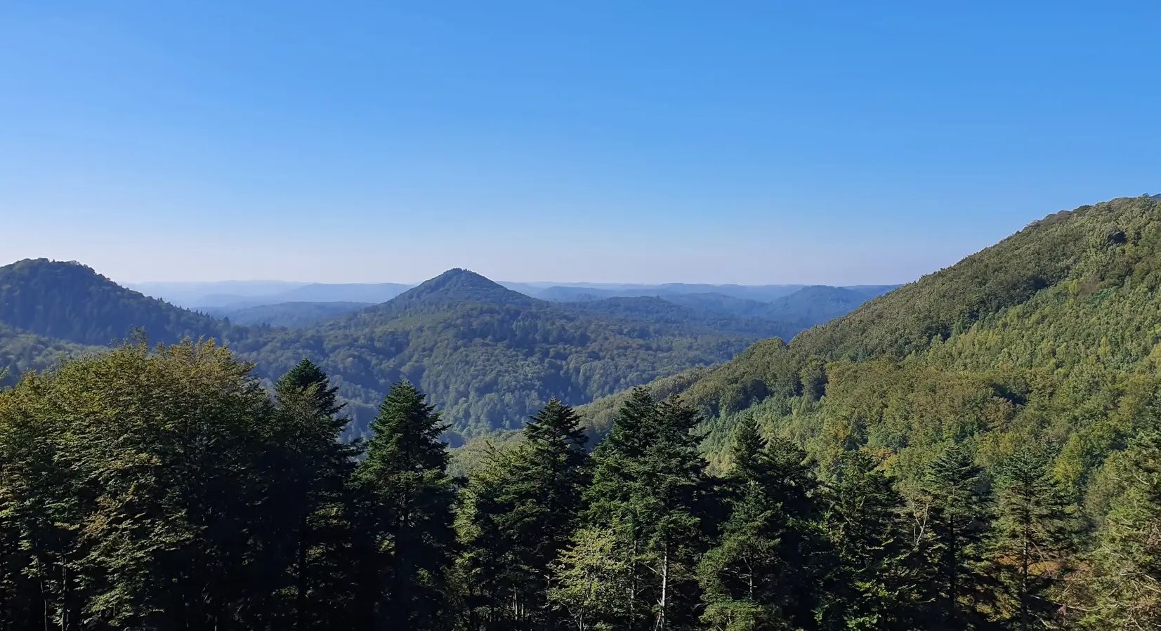
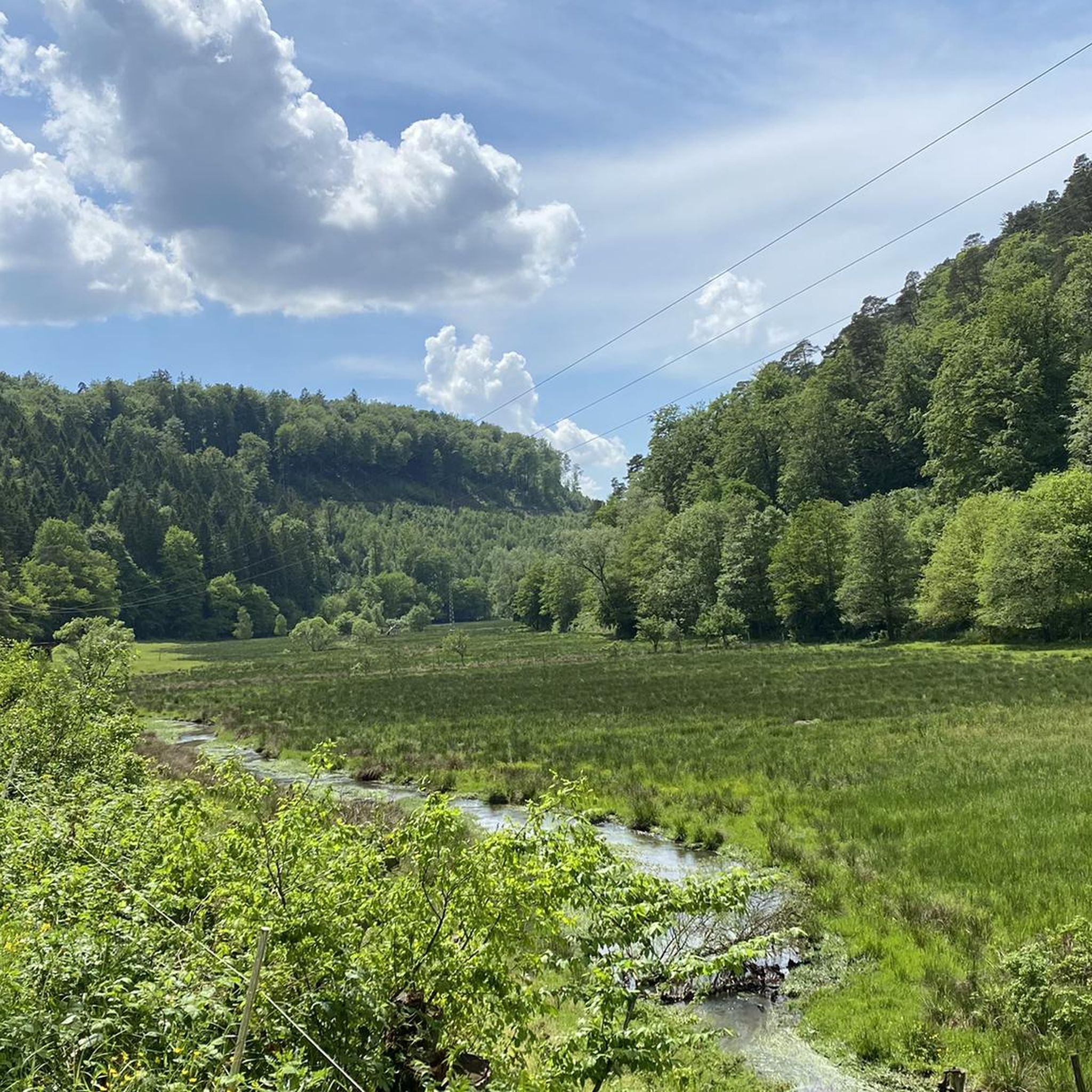
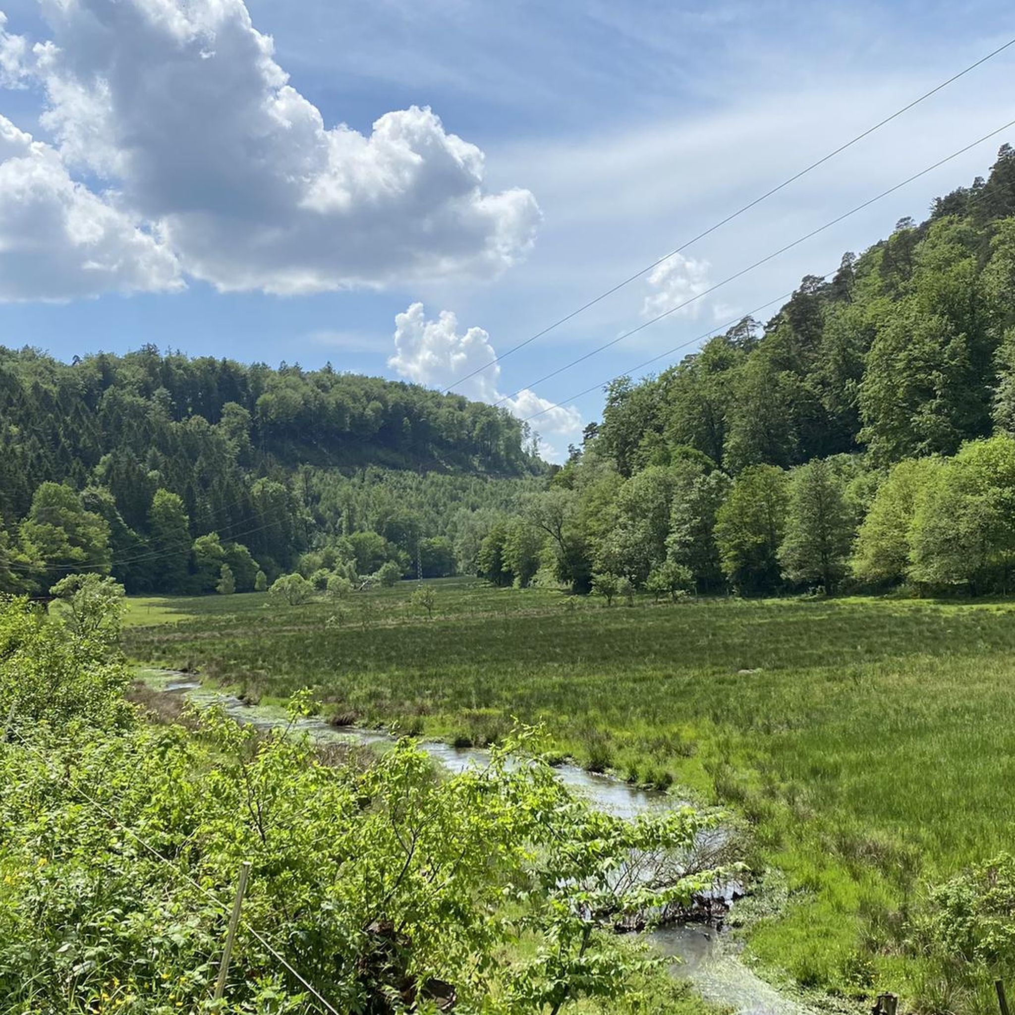

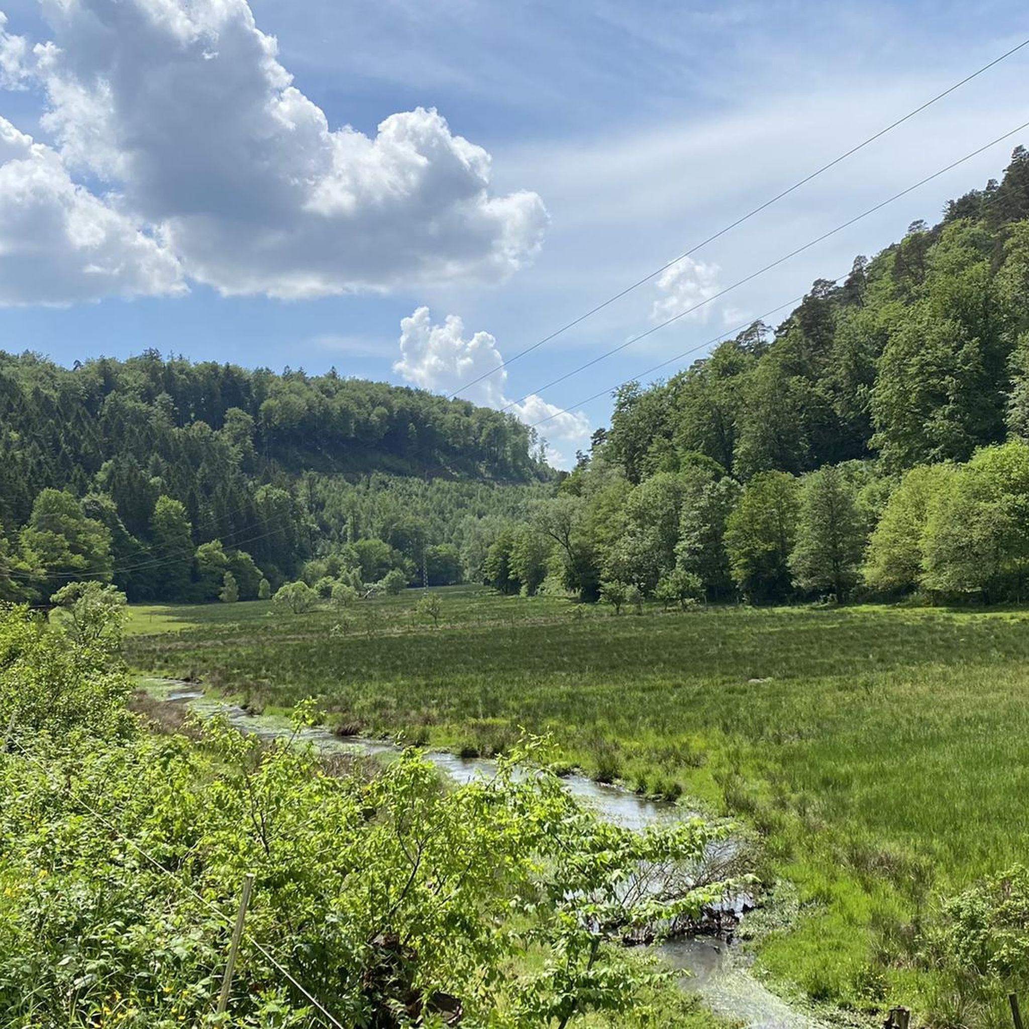

コミュニティからのヒント

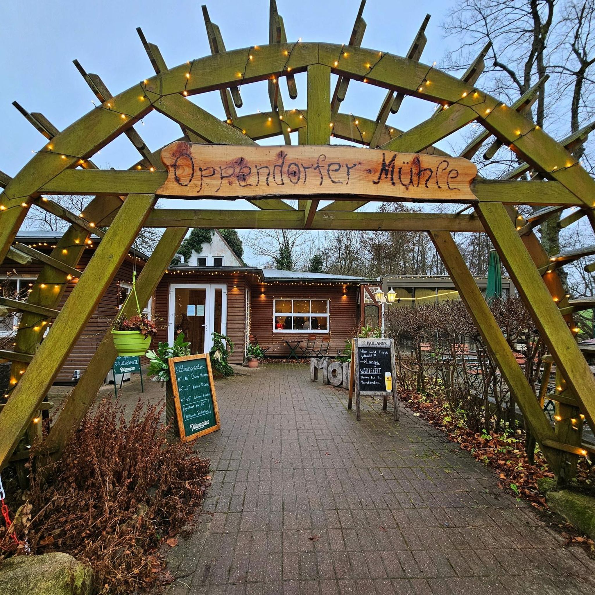
Wieslauter川沿いの心地よい休憩場所。 ユーモラスな命名。
0
0

「アム・ホレンデアクローツ」という碑文があるリッターシュタイン番号71は、ルイトポルド塔の約600メートル北に位置しています。リッターシュタインはハイキング用駐車場の中央に設置されています。リッターシュタインの隣には、約20メートルの高さのオークの木が育っています。碑文は誤ったスペルで「Holläender」と記されています。17世紀後半、多くのオランダ人がラインラント・プファルツの森にやってきて、特に大きな丸太を造船用に購入しました。このため、ホレンデールシュラーク、ホレンデールバウム、ホレンデールホルツ、ホレンデールヴェーク、ホレンデールファーラーなどの名称が生まれました。
1
0


A quaint path leads through a winter wonderland when it has snowed.
0
0

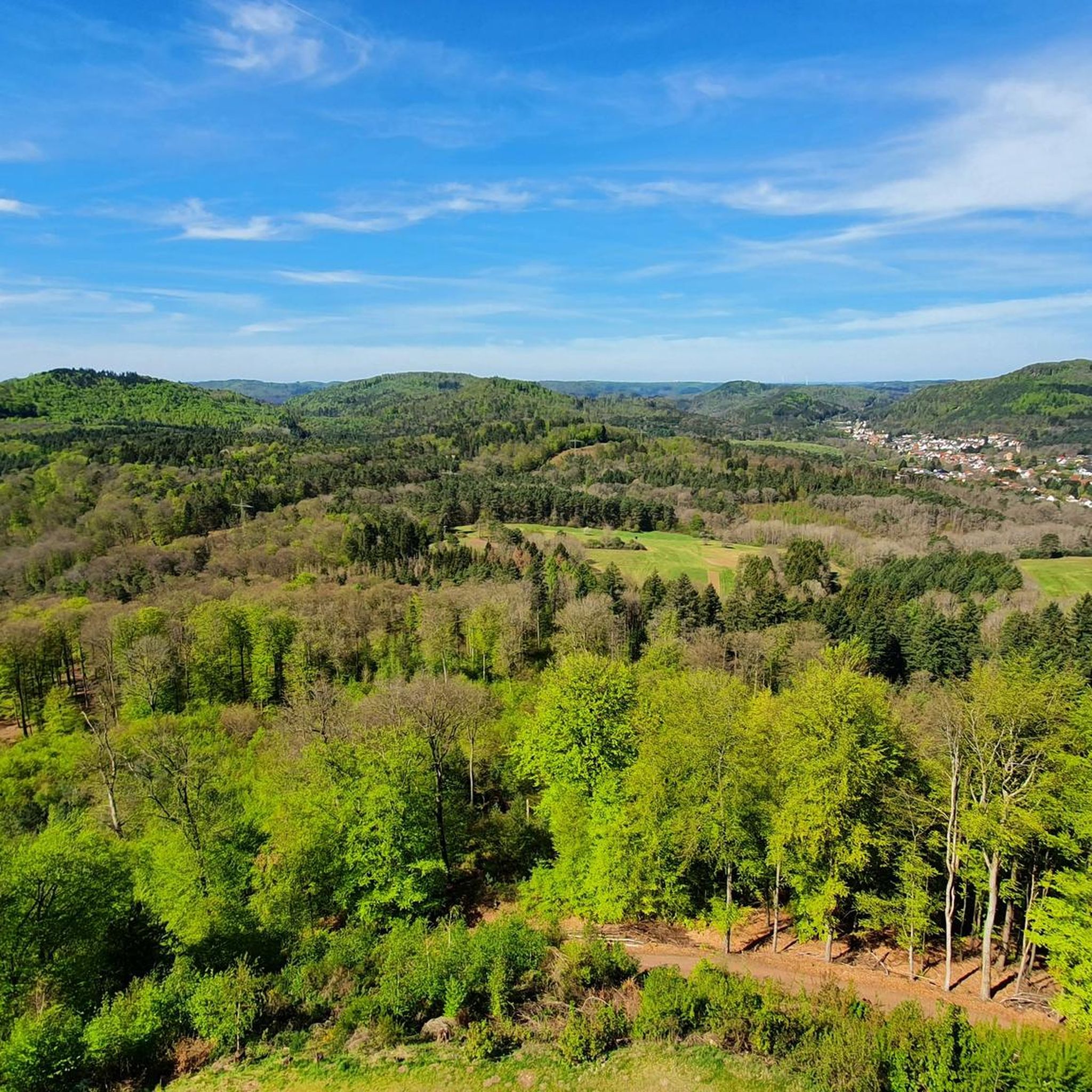
Superb 360° view. At the foot of the Tower there is a room with a table and a fireplace.
0
0

Beautiful view from the Palatinate Forest Trail 🏞 - Wilgartswiesen - Hauenstein Municipality - Southwest Palatinate District
0
0
Beautiful view of the Luitpold Tower 610 m above sea level on the Weißenberg ⛰ from Hermersbergerhof, a hamlet in the municipality of Wilgartswiesen
0
0
The Luitpold Tower (also called Luitpoldsturm) near Merzalben in the Südwestpfalz district of Rhineland-Palatinate is a 34.6 m high observation tower, inaugurated in 1909, on the approximately 610 m above sea level Weißenberg, one of the highest mountains in the Palatinate Forest. It was built of red sandstone. The Luitpold Tower is located in the heart of the Palatinate Forest, within the Palatinate Forest Nature Park. It stands in the municipality of Merzalben, approximately 7 km west-southwest, and 1.3 km north-northwest of the hamlet of Hermersbergerhof, which belongs to the neighboring municipality of Wilgartswiesen, on the summit region of the Weißenberg (approx. 610 m). The idea for building the tower was born on May 29, 1895, at the general meeting of the "Gräfenstein Beautification Association," founded by forestry assessor August Zwissler from Leimen in 1893. It was decided to build an observation tower on the Weißenberg, with an estimated cost of 8,000 to 10,000 marks. The necessary funds were to be raised by association member Martin Jäger, a local poet also known under the pseudonym Fritz Claus. Thanks to his advocacy for the tower, he was able to win over the Palatinate Forest Association (PWV), founded in Ludwigshafen in 1902, to his cause. The PWV leadership took over the coordination of the project, commissioned architect Ludwig Ullmann to draw up the plans, and raised the necessary funds primarily from membership dues. The name was suggested by Karl Albrecht von Ritter, the then chairman of the PWV; it was named after Prince Luitpold of Bavaria. Construction of the tower began on July 19, 1908, and its inauguration took place on September 26, 1909. The cost was approximately 23,000 marks, which, based on the base year 2000, corresponds to approximately 256,000 euros. The Palatinate Forest Association was able to complete payment of this amount as early as 1911. Source: https://de.wikipedia.org/wiki/Luitpoldturm#Renovierung_und_Erhaltung
1
0

komootモバイルアプリでインスピレーションを得よう


さらに探索
他の地域の最高のハイキングを見てみましょう。
