ヘーフレーシェンのおすすめウォーキング&ハイキングルート
4.5
(12713)
42,105
ハイカー
11
ハイキング
ヘーフレーシェン周辺でのハイキングは、景色を満喫するのに最適な手段のひとつですが、適切なハイキングルートを見つけることは簡単ではありません。 ヘーフレーシェン周辺の人気ハイキング&ウォーキングコースを参考にすれば、行きたいルートをすぐに見つけられます。
最終更新日: 10月 22, 2026
5.0
(1)
10
ハイカー
11.8km
03:17
220m
220m
中程度のハイキング. ある程度のフィットネスレベルが必要です。 歩きやすい道です。

4.5
(4)
9
ハイカー
5.23km
01:28
110m
110m
初級者向けハイキング. 歩きやすい道です。
3.3
(3)
7
ハイカー
10.5km
02:55
190m
190m
中程度のハイキング. ある程度のフィットネスレベルが必要です。 歩きやすい道です。
4.0
(1)
5
ハイカー
6.15km
01:43
120m
120m
初級者向けハイキング. 歩きやすい道です。
さらに多くのルートや他のユーザーのおすすめ情報を確認できます。
すでにアカウントをお持ちですか?
おすすめのツアーは他のkomootユーザーが実際に経験した何千ものアクティビティに基づいています。
無料アカウントで今日から始めよう
次の冒険が待っています。
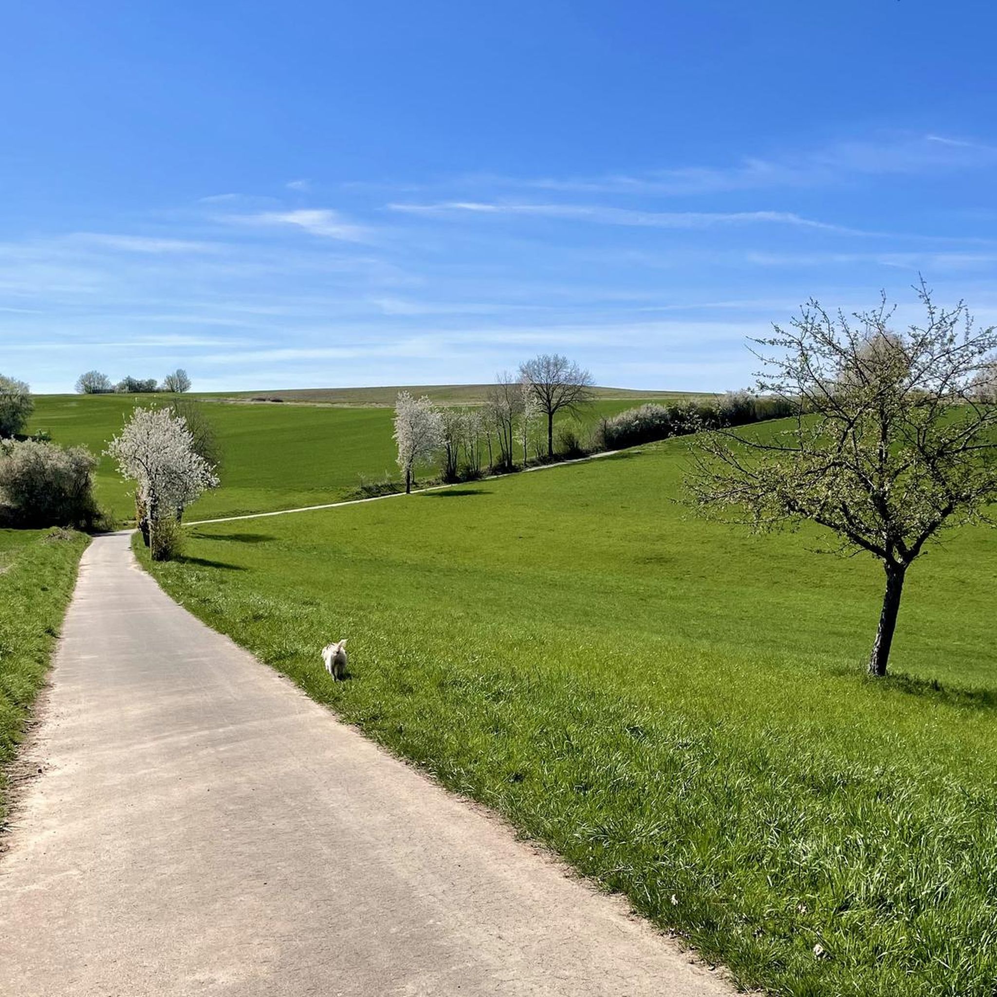
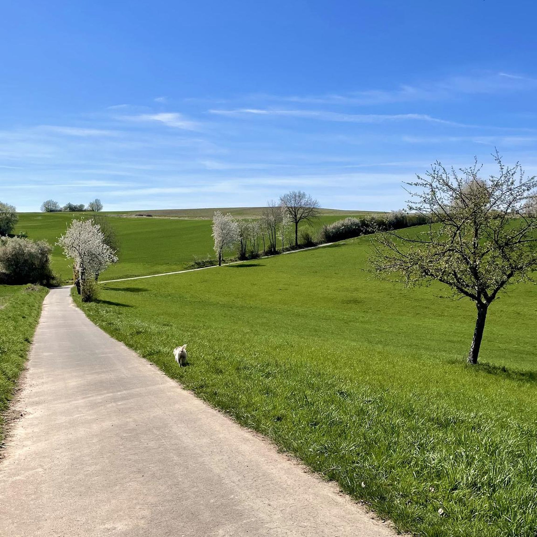
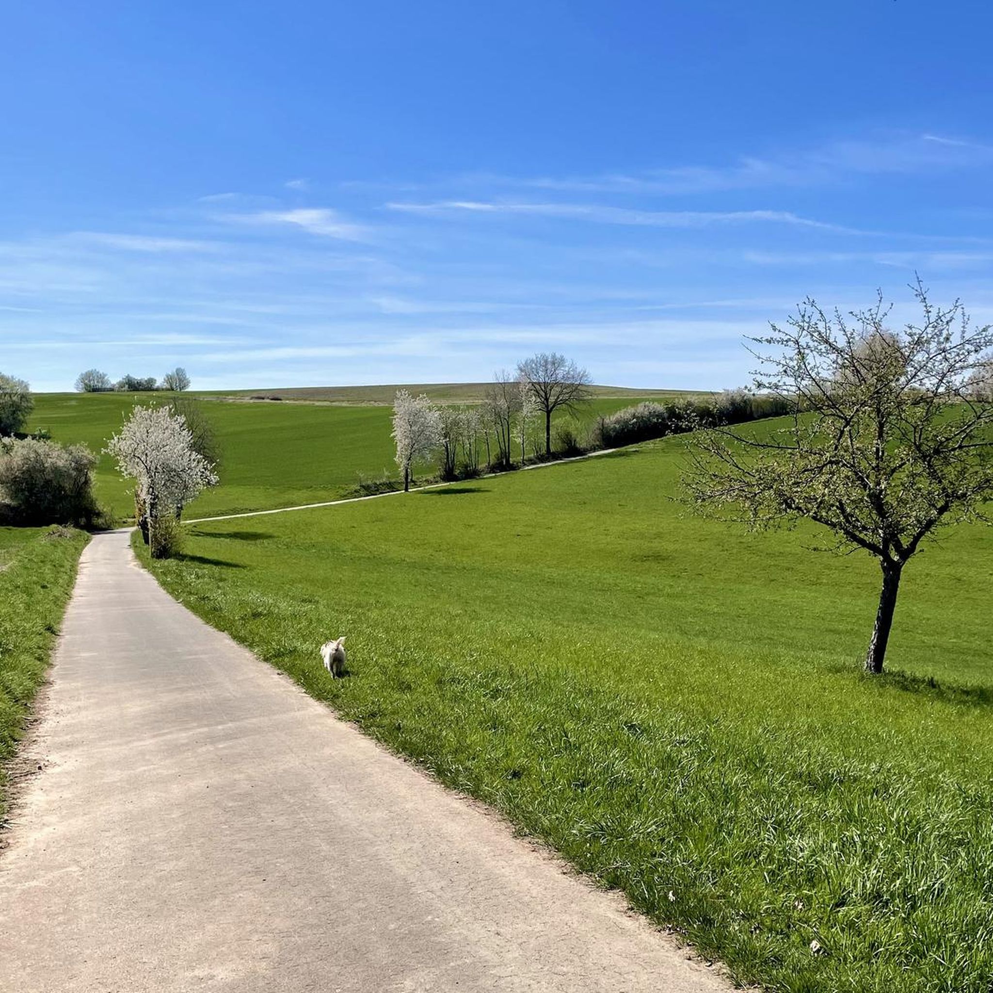
コミュニティからのヒント

The cycle path is really nice and well signposted.
4
0

The cycle path along the Schwarzbach is very beautiful.
2
0

The Stockwieser hut is located west of Höhfröschen and was built by the local PWV. It serves only as a place to rest or take shelter.
0
0

Very nice bike path that runs from the French border to the foothills of the Palatinate Forest. The incline for this is quite moderate over its 75km with almost 1000 meters in altitude.
2
0

The cycle path only has appreciable gradients around Pirmasens
3
0
The bike path has almost no inclines
4
0
Top bike path that leads a long way past the Schwarzbach
3
0

Bunker system embedded in the mountain with about 5 gates, one of which was open, but I can't go inside.
1
0

komootモバイルアプリでインスピレーションを得よう


さらに探索
他の地域の最高のハイキングを見てみましょう。
