ヒレスハイムのおすすめウォーキング&ハイキングルート
4.5
(22093)
74,678
ハイカー
99
ハイキング
ヒレスハイム 周辺でおすすめのハイキングやウォーキングを楽しんでいただけるように、このエリアの小径やルートを集めたkomootコレクション全体を見直しました。 以下で各ルートの詳細をご覧になり、ヒレスハイム周辺の大自然を満喫する際の参考にしてください。
最終更新日: 10月 3, 2026
4.7
(128)
528
ハイカー
6.59km
01:44
60m
60m
初級者向けハイキング. あらゆるフィットネスレベルに適しています。 進みやすいルートです。あらゆるスキルレベルに適しています。
4.1
(39)
116
ハイカー
14.9km
04:04
230m
230m
中程度のハイキング. ある程度のフィットネスレベルが必要です。 進みやすいルートです。あらゆるスキルレベルに適しています。

4.5
(22)
78
ハイカー
13.4km
03:41
210m
210m
中程度のハイキング. ある程度のフィットネスレベルが必要です。 進みやすいルートです。あらゆるスキルレベルに適しています。
4.3
(16)
37
ハイカー
26.1km
07:16
460m
460m
難しいハイキング. 標準以上のフィットネスレベルが必要です。 安定して歩行できる技術、丈夫な靴、高標高地での登山経験が必要です。
4.6
(103)
417
ハイカー
5.65km
01:30
60m
50m
初級者向けハイキング. あらゆるフィットネスレベルに適しています。 進みやすいルートです。あらゆるスキルレベルに適しています。
さらに多くのルートや他のユーザーのおすすめ情報を確認できます。
すでにアカウントをお持ちですか?
おすすめのツアーは他のkomootユーザーが実際に経験した何千ものアクティビティに基づいています。
無料アカウントで今日から始めよう
次の冒険が待っています。


コミュニティからのヒント

ヴァルスドルフとツィルスドルフの2つの村の少し北には、地質学に少しでも興味のあるアイフェル訪問者なら誰でもウィッシュリストに入れるべきハイライトがあります。それがアレンスベルク火山です。これは別々に(そして残念ながら、komootシステムでは複数回)作成されているため、ここではアクセスのみ、非自然起源のトンネルを紹介します。落石から訪問者を保護するために、覆われた通路が設けられています。
2
0
すでに以下にあります=> > https://www.komoot.com/de-de/highlight/346147
1
0
この森の小道にいるすべてのハイカーは、作家O. W. Ullmannの次の詩を心に留めておくことを歓迎します。 「ハイキングとは、前進すること、 楽しく目標に向かうこと、 日常から抜け出すこと、 そして明るい遠くを見ることであり、 逆境を乗り越え、 強く自由に高みを見つけ、 達成の誇りを感じることである。 ハイキングとは、前進することである。」
0
0

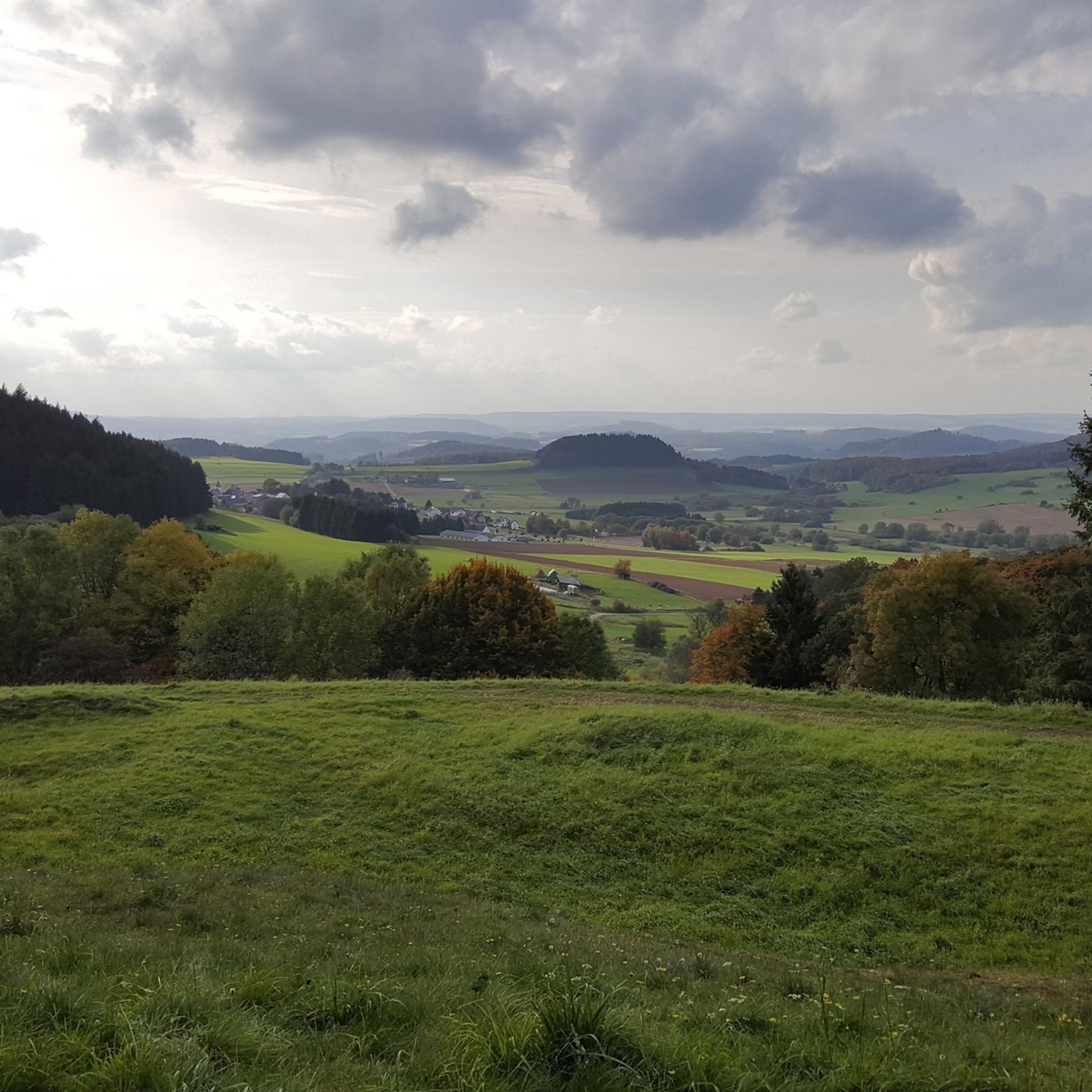
ローターコップからの素晴らしい全景と寝椅子。
0
0
Starting from Hillesheim, the so-called "Bolsdorfer Tälchen" is a popular destination for walkers or hikers who just want to take a short stroll (although the path is also shared with cyclists). On a longer hike, the route can be easily planned as a stopover.
5
0
A mini-museum would be an even better description. While walking or hiking in the Bolsdorf Valley, you almost inevitably pass by it. A glimpse through the window was possible.
4
0
In the long-gone days of our grandparents, a central bakehouse was common for the village community. In many places, these were eventually demolished. Here in Bolsdorf, however, it has been preserved and still bears witness to the old days.
7
0

The Auberg above Gerolstein is a rocky plateau formed from dolomite and part of the impressive "Gerolstein Dolomites" nature reserve, which has been protected since 1990 and covers approximately 102 hectares. Geologically, it is a reef formed around 380 million years ago in a warm, shallow sea, exposed by karstification and folding – typical features of this Devonian limestone reef. At an elevation of approximately 360 meters above sea level, the Auberg offers spectacular views over Gerolstein, the Kyll Valley, and the entire Volcanic Eifel region – a real highlight on tours along the Eifelsteig or local circular trails such as the "Gerolsteiner Dolomiten Acht" (Gerolstein Dolomites Eight). The trail leads through narrow crevices and past bizarre rock formations, providing a true sense of discovery while hiking. Botanically, the Auberg is a valuable habitat: rare orchids, nutrient-poor grasslands, juniper, and species-rich mosses can be found on the sparse Dolomite rocks – as well as bats in protected crevices. Smaller populations also use the area as a resting, breeding, and hunting ground. For Komoot users, there are several tour options: for example, Eifelsteig stage 9 (Hillesheim–Gerolstein) or the local "Gerolsteiner Dolomiten Acht" (approx. 8 km), where the Auberg is a sublime intermediate destination. There's also a Reservoir–Auberg–Lissingen loop, an easy, family-friendly walk (approx. 4 km, 1 hour) with panoramic views and rocky outcrops.
0
0

komootモバイルアプリでインスピレーションを得よう


さらに探索
他の地域の最高のハイキングを見てみましょう。
