クロンベルクのおすすめMTBライド
4.7
(123)
321
ライダー
37
ライド
クロンベルク周辺でのマウンテンバイクは、その地形を最大限に楽しむのに最適なスポーツですが、ライドのスタート地点を探すのが難しいこともあります。クロンベルク周辺でおすすめのルートが見つかるように、人気マウンテンバイクルートをご紹介します。
最終更新日: 9月 1, 2026
5.0
(1)
18
ライダー
44.5km
04:16
1,160m
1,160m
難しいマウンテンバイクライド. 標準以上のフィットネスレベルが必要です。 高度なライディングスキルが必要です。
4.3
(6)
33
ライダー
27.0km
02:27
730m
730m
中程度のマウンテンバイクライド. ある程度のフィットネスレベルが必要です。 高度なライディングスキルが必要です。

無料新規登録
5.0
(3)
17
ライダー
65.6km
05:26
1,260m
1,260m
難しいマウンテンバイクライド. 標準以上のフィットネスレベルが必要です。 高度なライディングスキルが必要です。
5.0
(2)
15
ライダー
39.6km
02:18
240m
240m
中程度のマウンテンバイクライド. ある程度のフィットネスレベルが必要です。 高度なライディングスキルが必要です。
4.7
(12)
26
ライダー
18.3km
01:41
480m
480m
中程度のマウンテンバイクライド. ある程度のフィットネスレベルが必要です。 高度なライディングスキルが必要です。
さらに多くのルートや他のユーザーのおすすめ情報を確認できます。
無料新規登録
すでにアカウントをお持ちですか?
おすすめのツアーは他のkomootユーザーが実際に経験した何千ものアクティビティに基づいています。
無料アカウントで今日から始めよう
次の冒険が待っています。
ログインまたは登録
クロンベルク周辺で人気
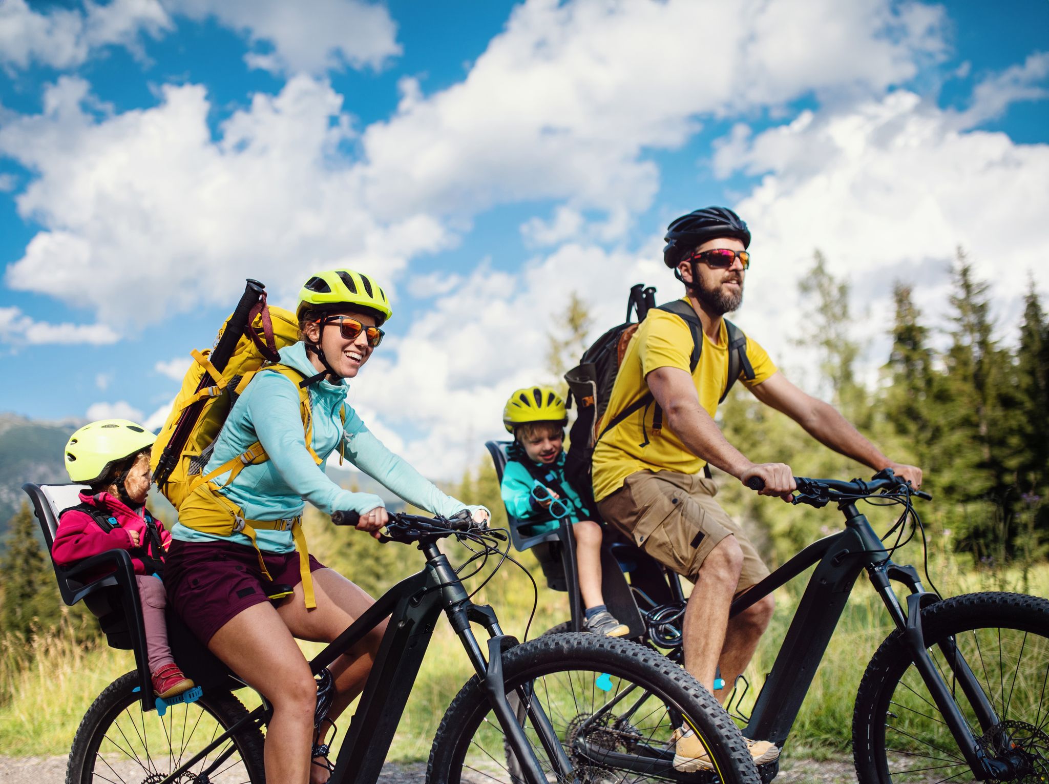
By bike and train into the green - cycling Tours around the EUROBIKE

Orchards, vineyards, taverns – hikes in the RMV area
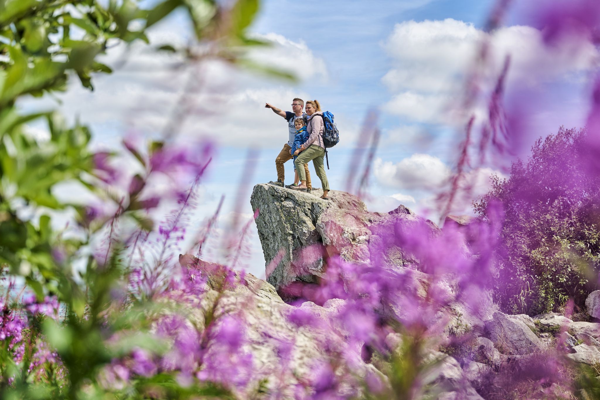
History, forest and gnomes – hiking in Germany’s Hochtaunus region
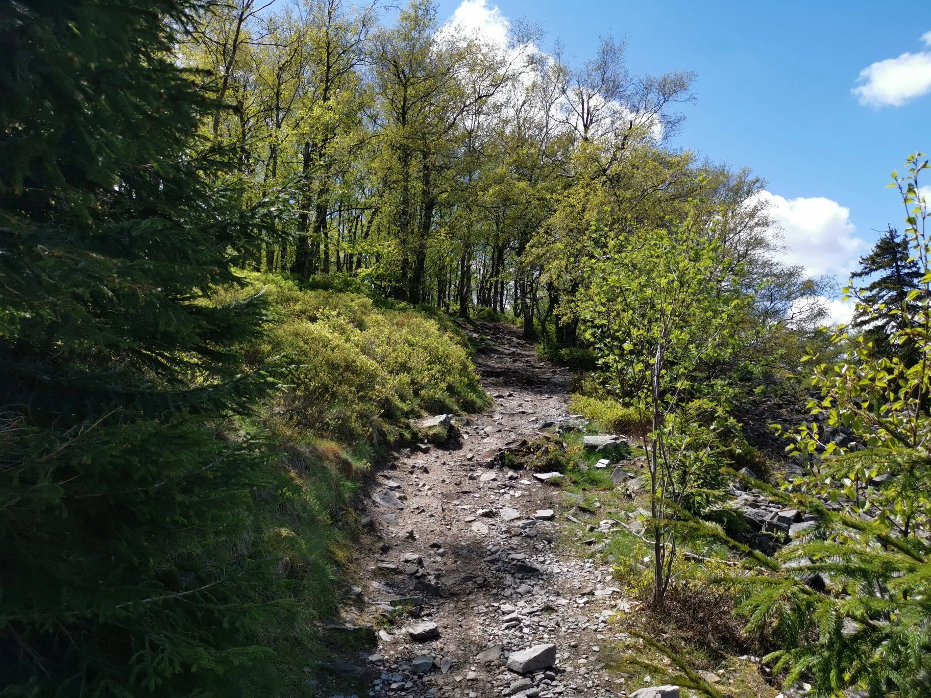
フランクフルトの近くの秋のハイキング

Fit in den Frühling – Die schönsten Laufrunden im Rhein-Main-Gebiet
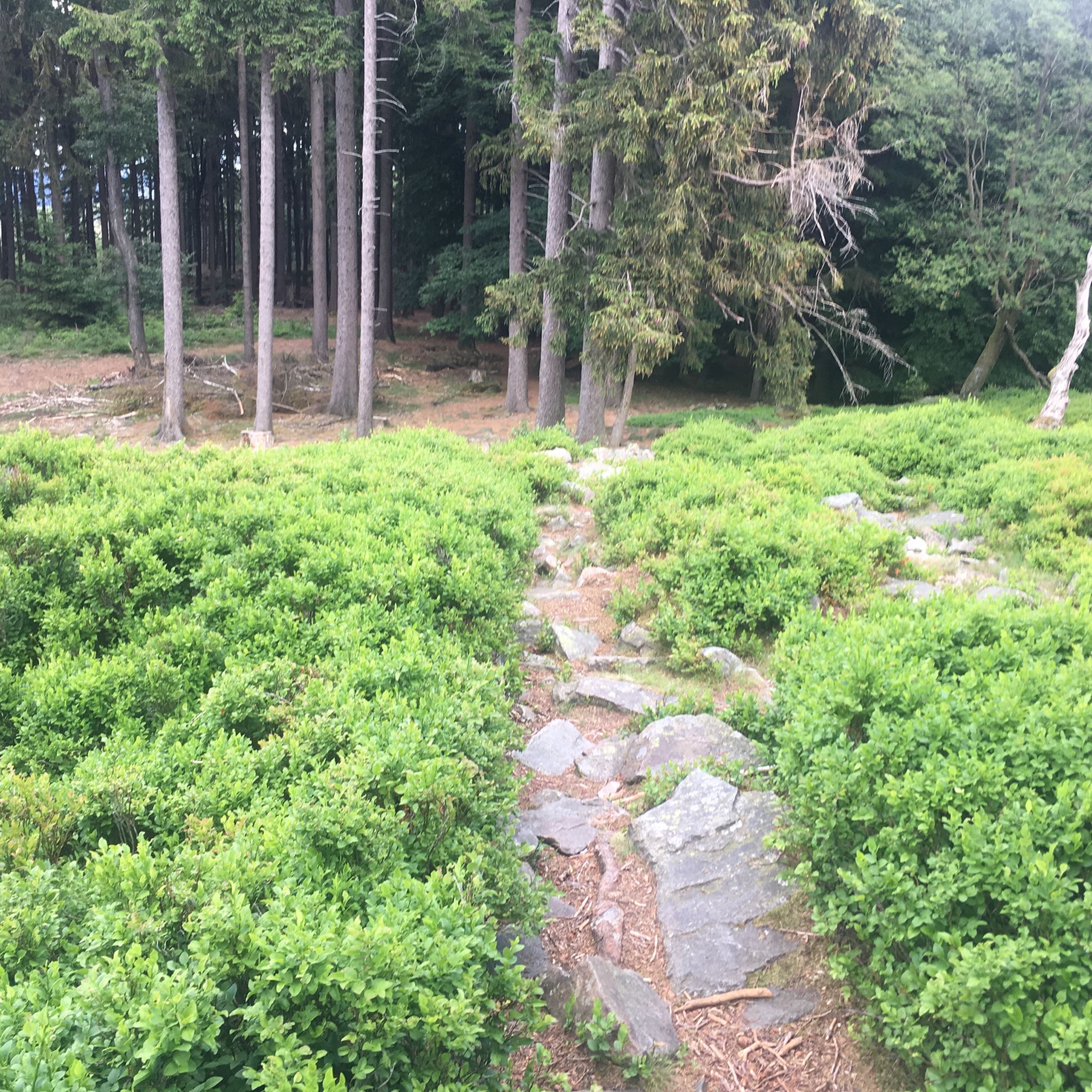
クロンベルクでのハイキング
クロンベルクでのサイクリング
クロンベルクのロードバイクルート
クロンベルクのランニングコース
クロンベルクでの登山&山歩き
クロンベルクでのの他の冒険


コミュニティからのヒント

素敵なトレイルです!勾配のため、一部大きめの石や根っこがあり、登りは大変です。また、数カ所砂利で整備されたようで、まだかなり緩いです。私にとっては、道路を走るよりもずっと良いルートです。しかし、ロードバイクでは無理でしょう。
0
0

ニッダ川でも「自然再生」に関して何か行われたのは、単に素晴らしいことです。
1
0
The renaturalization project was only effectively completed at this location in 2025. Before that, it was "nice," but nothing more. Today, at least here, one can get an impression of what the Nidda might originally have looked like. A little further downstream towards Höchst, there is also a more natural stretch – otherwise, unfortunately, it's still a very straightened river, yet still one of the most beautiful sections in Frankfurt.
1
0

The Old Airfield (formerly Maurice Rose Airfield) in Frankfurt's Green Belt is a former American military airfield used until 1992. It covers an area of approximately 4.5 hectares and lies within the districts of Frankfurt-Bonames and Frankfurt-Kalbach-Riedberg. After its closure, it was transformed into a nature and recreation area in 2003/04 by the "Green Belt" project group and the GTL Landscape Architects office, for which they received the German Landscape Architecture Prize in 2005.
11
1
Viktoriatempelは、景観のハイライトであり、タウヌス自然公園の地元のハイキングコースの不可欠な一部です。 この寺院は、クロンベルク・イム・タウヌスのVictoriaparkとAltkönigの近くにあり、クロンベルク城などの素晴らしい景色を眺めることができます。
15
1
The White Wall in the Taunus Mountains is a quartzite field formed during the Ice Age on the Altkönig mountain by frost weathering. It lies at a maximum elevation of 634 meters above sea level [1] near Oberursel in the Hochtaunus district of Hesse. The area is designated as a nature reserve 🤩
14
0


komootモバイルアプリでインスピレーションを得よう


さらに探索
他の地域の最高のMTBトレイルを見てみましょう。
