ルート

プランナー

機能

アップデート

App

ログインまたはサインアップ

アプリを入手

ログインまたはサインアップ

ルート
ハイキング
ドイツ
バイエルン
オーバープファルツ
ノイシュタットアンデアヴァルトナープ

フロッセンビュルク

フロッセンビュルクのおすすめウォーキング&ハイキングルート

4.8

(465)

1,868

ハイカー

117

ハイキング

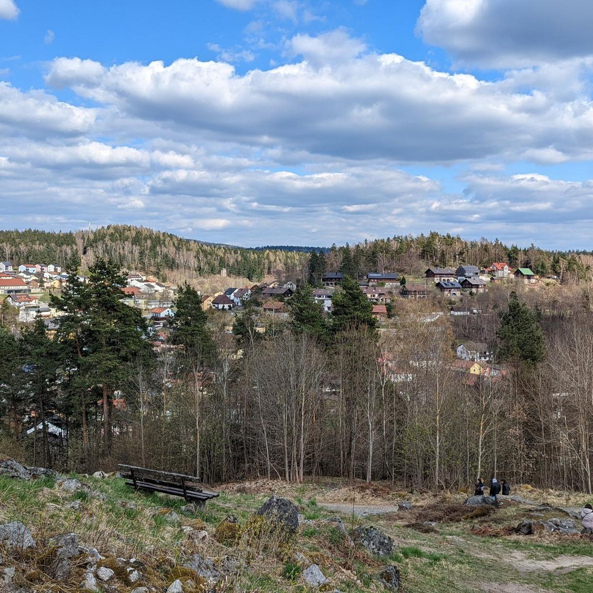
フロッセンビュルク周辺でのハイキングは、景色を満喫するのに最適な手段のひとつですが、適切なハイキングルートを見つけることは簡単ではありません。 フロッセンビュルク周辺の人気ハイキング&ウォーキングコースを参考にすれば、行きたいルートをすぐに見つけられます。

最終更新日: 6月 26, 2026

4.3

(14)

44

ハイカー

#1.

Ringweg um Flossenbürg

12.0km

03:25

260m

260m

中程度のハイキング. ある程度のフィットネスレベルが必要です。 進みやすいルートです。あらゆるスキルレベルに適しています。

デバイスでナビ

スマートフォンに送信

保存

中程度

中程度のハイキング. ある程度のフィットネスレベルが必要です。 進みやすいルートです。あらゆるスキルレベルに適しています。

中程度
guide_signup
私たちがkomootモバイルアプリで道を示します
無料の komoot アカウントがあれば、無限のアウトドアコースを簡単に見つけてカスタマイズし、ナビで案内できます。

無料新規登録

中程度のハイキング. ある程度のフィットネスレベルが必要です。 進みやすいルートです。あらゆるスキルレベルに適しています。

中程度

中程度のハイキング. ある程度のフィットネスレベルが必要です。 進みやすいルートです。あらゆるスキルレベルに適しています。

中程度

中程度のハイキング. ある程度のフィットネスレベルが必要です。 進みやすいルートです。あらゆるスキルレベルに適しています。

中程度
無料新規登録すると、フロッセンビュルクでのでのハイキングをさらに113件ご覧いただけます。

さらに多くのルートや他のユーザーのおすすめ情報を確認できます。

無料新規登録

すでにアカウントをお持ちですか?

おすすめのツアーは他のkomootユーザーが実際に経験した何千ものアクティビティに基づいています。
無料アカウントで今日から始めよう

次の冒険が待っています。

ログインまたは登録

フロッセンビュルク周辺で人気

How refreshing! Trails by the water in the Upper Palatinate Forest

アッパーパラティネート森のバイクパッキング

フロッセンビュルクでのサイクリング

フロッセンビュルクのロードバイクルート

フロッセンビュルクのランニングコース

フロッセンビュルクのMTBトレイル

フロッセンビュルクでののグラベルライド

フロッセンビュルクでのの他の冒険

How refreshing! Trails by the water in the Upper Palatinate Forest

ハイキングのコレクション によって

Oberpfälzer Wald

コミュニティからのヒント

Lisa
8月 18, 2025, Kleiner Gaisweiher

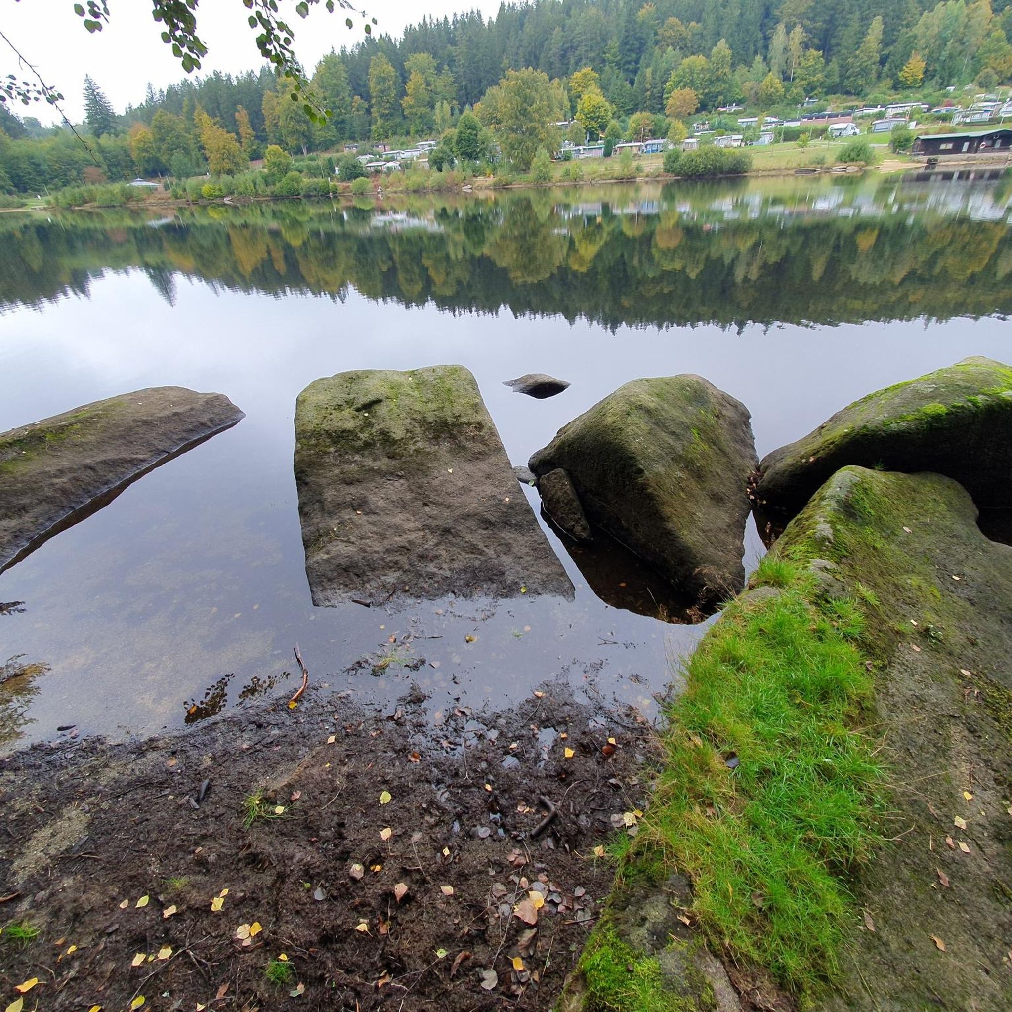
Quietly located, beautiful pond with two benches, ideal for a short break.

Google翻訳による翻訳

0

0

When Slavs repeatedly invaded the Nordgau at the beginning of the 12th century, Margrave Diepold, as administrator of the Nordgau, and his friend Count Beringer of Sulzbach were forced in 1109 to settle the border with the Bohemian dukes Borsivoy and Wladislaw on behalf of the German King Henry V. One of the established border points was likely this mighty, immovable granite block. A cross, still clearly visible today, was carved into the broad, blunt cone on the south side. Barely discernible is the inscription "Bohemia" on the east side and "Bavaria" on the west side. The slab marks the border line with a furrow cut at an obtuse angle. The stone also bears a number and the year of the last border determination: "1843." In 1997, the Bavarian-Bohemian hiking and cross-country skiing border crossing "Kreuzstein / Křížový kámen" was officially opened.

Google翻訳による翻訳

14

0

At 901 meters, the Entenbühl is the second-highest elevation in the German part of the Upper Palatinate Forest after the 938-meter-high Kreuzfelsen in the Cham district. Below the summit lies the Hubertus Chapel. It was built as a wartime bunker in 1938 and converted into a place of worship by the Upper Palatinate Forest Association in 1998. The wooden summit cross was erected in 2000.

Google翻訳による翻訳

13

0

The sports and leisure center, operated by the Förderkreis SLZ Silberhütte e.V. (Swiss Alpine Skiing Association), offers cross-border cross-country skiing and biathlon trails, some of which are illuminated. The total length of the trails is approximately 50 kilometers, with varying levels of difficulty. Designated hiking, cycling, and mountain biking trails invite year-round use of the center on the border ridge between Bavaria and Bohemia.

Google翻訳による翻訳

14

0

The Silberhütte mountain refuge was built in 1932 by the Upper Palatinate Forest Association (OWV), enlarged in 1940, and an additional storey was added in 1957. The Silberhütte was originally run as a restaurant with guest rooms. The village, distinguished by its snow-sure location at an altitude of 818 meters, developed into a center for hiking, but especially for cross-country skiing. Since 2016, no tenant has been found for the once popular excursion restaurant. In 2018, the OWV sold the mountain refuge and its two-and-a-half-hectare site to the town of Bärnau. All plans for revitalization, most recently the planned conversion to a climate and nature awareness center in 2022, have failed since then. It looks as if the Silberhütte is becoming a lost place.

Google翻訳による翻訳

13

0

Idyllically situated, but relatively overgrown

Google翻訳による翻訳

1

0

Beautiful pond, which lies somewhat unnoticed between the Grosser Gaisweiher and Gaismühle.

Google翻訳による翻訳

1

0

Nice rest area at the small Gaisweiher with 2 benches, next to the fish ladder.

Google翻訳による翻訳

0

0

フロッセンビュルクでのの人気ルート

フロッセンビュルクでのサイクリング

フロッセンビュルクでのの人気観光スポット

Places to see

Store rating

komootモバイルアプリでインスピレーションを得よう

無料のkomootアカウントがあれば、無限のアウトドアコースを簡単に見つけてカスタマイズし、ナビで案内できます。

または

今すぐkomootに参加しよう

Store rating

さらに探索

他の地域の最高のハイキングを見てみましょう。

ヴィンディッシェンバッハフォーエンシュトラウスオーバープファルツのエッシェンバッハゲオルゲンベルクロイヒテンベルクデンタルフロステンネスベルクマンテラーの森ノイシュタットアムクルムパークシュタインプライシュタインプレッサートアルテンシュタットアンデアヴァルトナーブキルヒェントゥンバッハシュパインスハルターフォルストシュパインスハルトモースバッハエスラルンタイサイルルーエヴィルデナウマントルピースピュッハースロイスGroßerRußweiherヴァイトハウスヴァルトツルングラーフェンヴェーアSchwarzenbach bei PressathヴァイアーハンマーPressather WaldピルクキルヒェンデメンロイスシルミッツエッツェンリヒトイルヒェンリーテトラビッツシュランマースドルフシュテルンシュタインフォルバッハTorflohe Und PfrentschwieseAltenstädter Waldベヒツリート

近くのアドベンチャーガイド

ゲオルゲンベルクでやるべきこと

background

新しいピークを征服する準備をしよう

無料でサインアップ

探検する
ルートルートプランナー機能ハイキングMTBトレイルロードバイクルートバイクパッキングサイトマップ
アプリをダウンロード
SNSでフォローする

© komoot GmbH

プライバシーポリシー