フロッセンビュルクのおすすめランニングルート
4.2
(90)
820
ランナー
98
ランニング
フロッセンビュルクでランニングを楽しめば、このエリアをより深く知ることができます。ランニングに適した美しいルートが見つかるように、komootがフロッセンビュルクでのルートのコレクション全体を評価して選び抜いた、人気ランニングトレイルをご紹介します。ルートをクリックして詳細を表示し、他のユーザーがアップロードした役立つ情報や写真を閲覧しましょう。
最終更新日: 9月 2, 2026
4.2
(5)
44
ランナー
中程度のジョギング. ある程度のフィットネスレベルが必要です。 全般的に舗装された状態です。あらゆるスキルレベルに適しています。
4.3
(3)
24
ランナー
中程度のジョギング. ある程度のフィットネスレベルが必要です。 全般的に舗装された状態です。あらゆるスキルレベルに適しています。

5.0
(1)
12
ランナー
難しいジョギング. 標準以上のフィットネスレベルが必要です。 安定して歩行できる技術、丈夫な靴、高標高地での登山経験が必要です。
5
ランナー
12.1km
01:18
200m
200m
中程度のジョギング. ある程度のフィットネスレベルが必要です。 全般的に舗装された状態です。あらゆるスキルレベルに適しています。
3.0
(2)
5
ランナー
17.0km
02:06
460m
460m
難しいジョギング. 標準以上のフィットネスレベルが必要です。 安定して歩行できる技術、丈夫な靴、高標高地での登山経験が必要です。
さらに多くのルートや他のユーザーのおすすめ情報を確認できます。
すでにアカウントをお持ちですか?
おすすめのツアーは他のkomootユーザーが実際に経験した何千ものアクティビティに基づいています。


コミュニティからのヒント


The cross-country skiing center is worth a visit in both summer and winter. In summer, mountain biking and hiking are popular, while in winter, cross-country skiing on excellently groomed skating and classic trails, as well as snowshoeing all the way to Goldbach in the Czech Republic, is a great option. In winter, you can change and warm up in the modern activity building. On winter weekends, the kiosk is also worth a visit, if it's open. You can check its opening status using the app and on the center's webcams. Paying the small fee at the parking lots below helps with the upkeep of the trails and tracks.
1
0

The suckler cow herd is always a highlight.
1
0

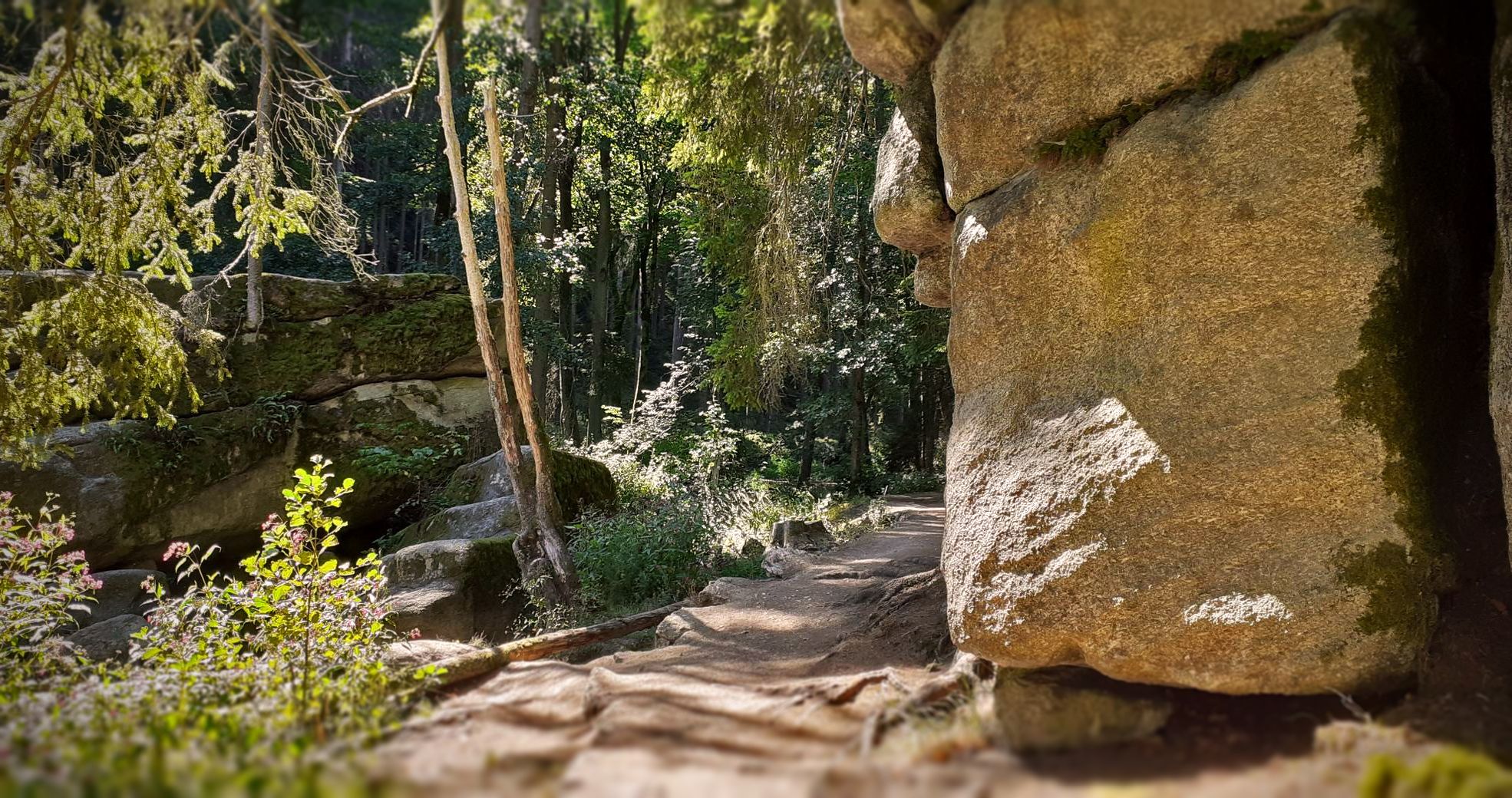
When Slavs repeatedly invaded the Nordgau at the beginning of the 12th century, Margrave Diepold, as administrator of the Nordgau, and his friend Count Beringer of Sulzbach were forced in 1109 to settle the border with the Bohemian dukes Borsivoy and Wladislaw on behalf of the German King Henry V. One of the established border points was likely this mighty, immovable granite block. A cross, still clearly visible today, was carved into the broad, blunt cone on the south side. Barely discernible is the inscription "Bohemia" on the east side and "Bavaria" on the west side. The slab marks the border line with a furrow cut at an obtuse angle. The stone also bears a number and the year of the last border determination: "1843." In 1997, the Bavarian-Bohemian hiking and cross-country skiing border crossing "Kreuzstein / Křížový kámen" was officially opened.
15
0
At 901 meters, the Entenbühl is the second-highest elevation in the German part of the Upper Palatinate Forest after the 938-meter-high Kreuzfelsen in the Cham district. Below the summit lies the Hubertus Chapel. It was built as a wartime bunker in 1938 and converted into a place of worship by the Upper Palatinate Forest Association in 1998. The wooden summit cross was erected in 2000.
13
0
The sports and leisure center, operated by the Förderkreis SLZ Silberhütte e.V. (Swiss Alpine Skiing Association), offers cross-border cross-country skiing and biathlon trails, some of which are illuminated. The total length of the trails is approximately 50 kilometers, with varying levels of difficulty. Designated hiking, cycling, and mountain biking trails invite year-round use of the center on the border ridge between Bavaria and Bohemia.
14
0
フロッセンビュルクでのの人気観光スポット

komootモバイルアプリでインスピレーションを得よう


さらに探索
他の地域の最高のランニングトレイル & ルートを見てみましょう。
