ディットヴァイラーのおすすめウォーキング&ハイキングルート
4.6
(1499)
6,537
ハイカー
18
ハイキング
ディットヴァイラー周辺でのハイキングは、景色を満喫するのに最適な手段のひとつですが、適切なハイキングルートを見つけることは簡単ではありません。 ディットヴァイラー周辺の人気ハイキング&ウォーキングコースを参考にすれば、行きたいルートをすぐに見つけられます。
最終更新日: 10月 8, 2026
5.0
(9)
19
ハイカー
11.9km
03:20
240m
230m
中程度のハイキング. ある程度のフィットネスレベルが必要です。 進みやすいルートです。あらゆるスキルレベルに適しています。
4.9
(7)
24
ハイカー
5.31km
01:27
80m
80m
初級者向けハイキング. あらゆるフィットネスレベルに適しています。 進みやすいルートです。あらゆるスキルレベルに適しています。

4.7
(7)
40
ハイカー
12.4km
03:23
190m
190m
中程度のハイキング. ある程度のフィットネスレベルが必要です。 進みやすいルートです。あらゆるスキルレベルに適しています。
4.3
(3)
21
ハイカー
8.84km
02:31
190m
190m
中程度のハイキング. ある程度のフィットネスレベルが必要です。 進みやすいルートです。あらゆるスキルレベルに適しています。
4.7
(6)
13
ハイカー
7.05km
02:00
160m
160m
初級者向けハイキング. あらゆるフィットネスレベルに適しています。 進みやすいルートです。あらゆるスキルレベルに適しています。
さらに多くのルートや他のユーザーのおすすめ情報を確認できます。
すでにアカウントをお持ちですか?
おすすめのツアーは他のkomootユーザーが実際に経験した何千ものアクティビティに基づいています。
無料アカウントで今日から始めよう
次の冒険が待っています。

コミュニティからのヒント


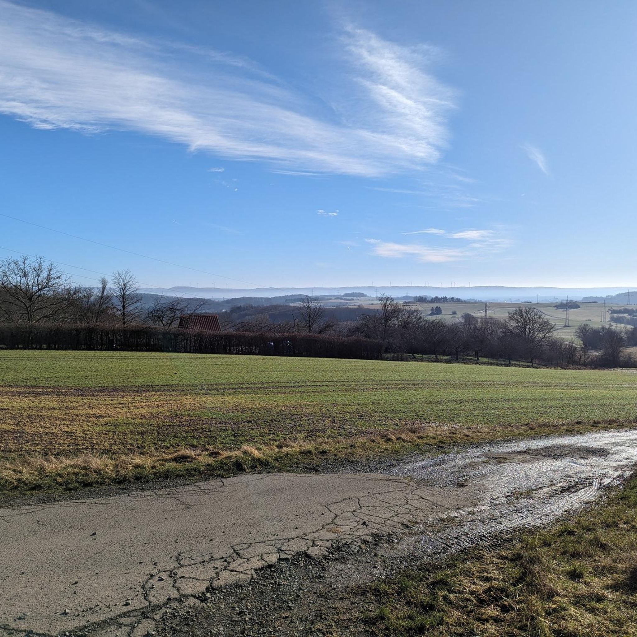
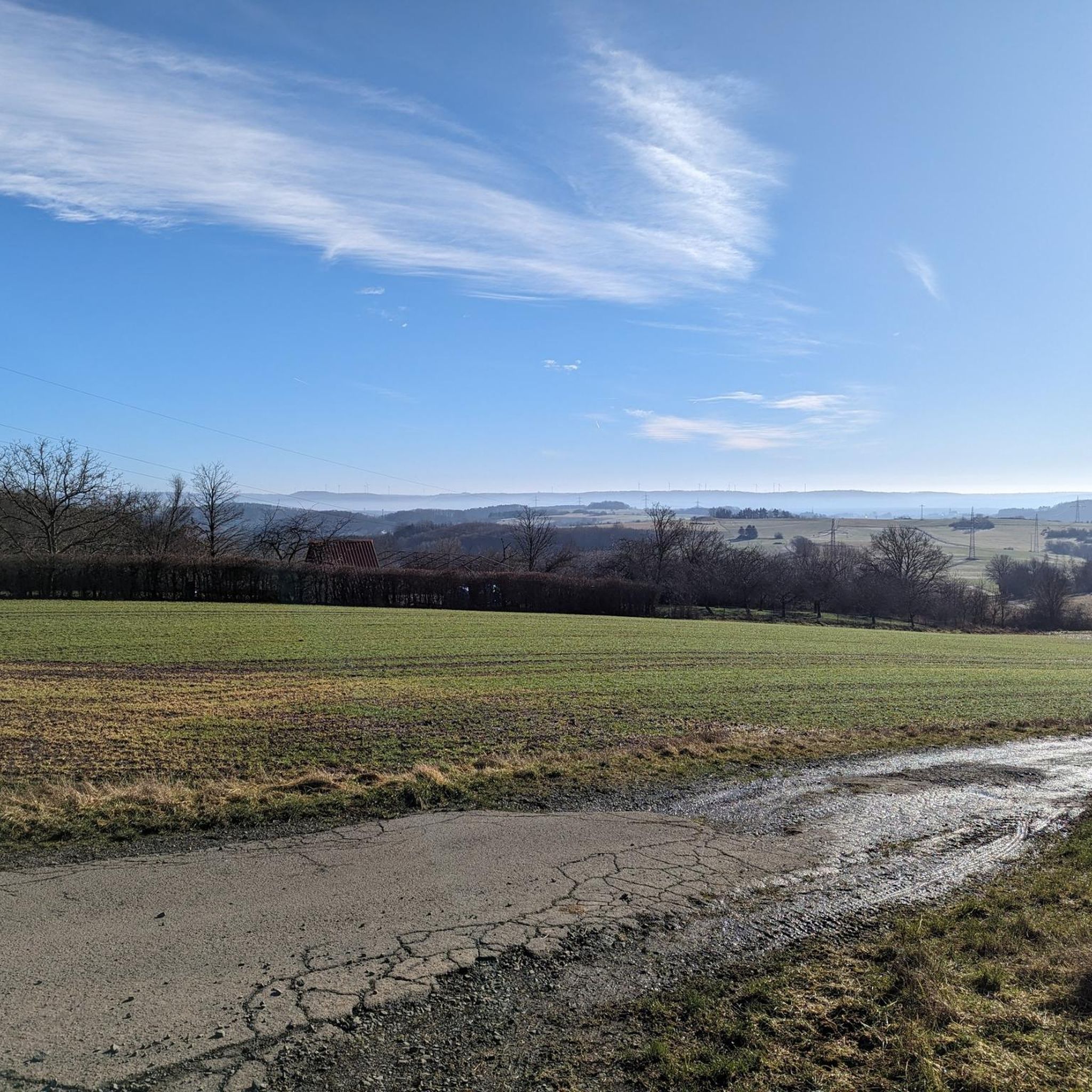
Wide fields, rolling hills, and beyond, the dark green of the Palatinate Forest – this vantage point offers a view of one of the most beautiful regions of the Palatinate. Depending on the time of day, the play of light over the fields changes, making the landscape appear soft or rich in contrast. 💡 Tip: A perfect place for a short rest with a view – a truly postcard-worthy scene, especially at sunset.
0
1

Hello everyone, I'm new here, this is my first comment! I always refer to it as "My Oak" because it inspires awe. In our town, we call it the "Napoleon Oak." The whole cherry blossom trail is highly recommended for beginners like us! Greetings from Dittweiler.
1
0
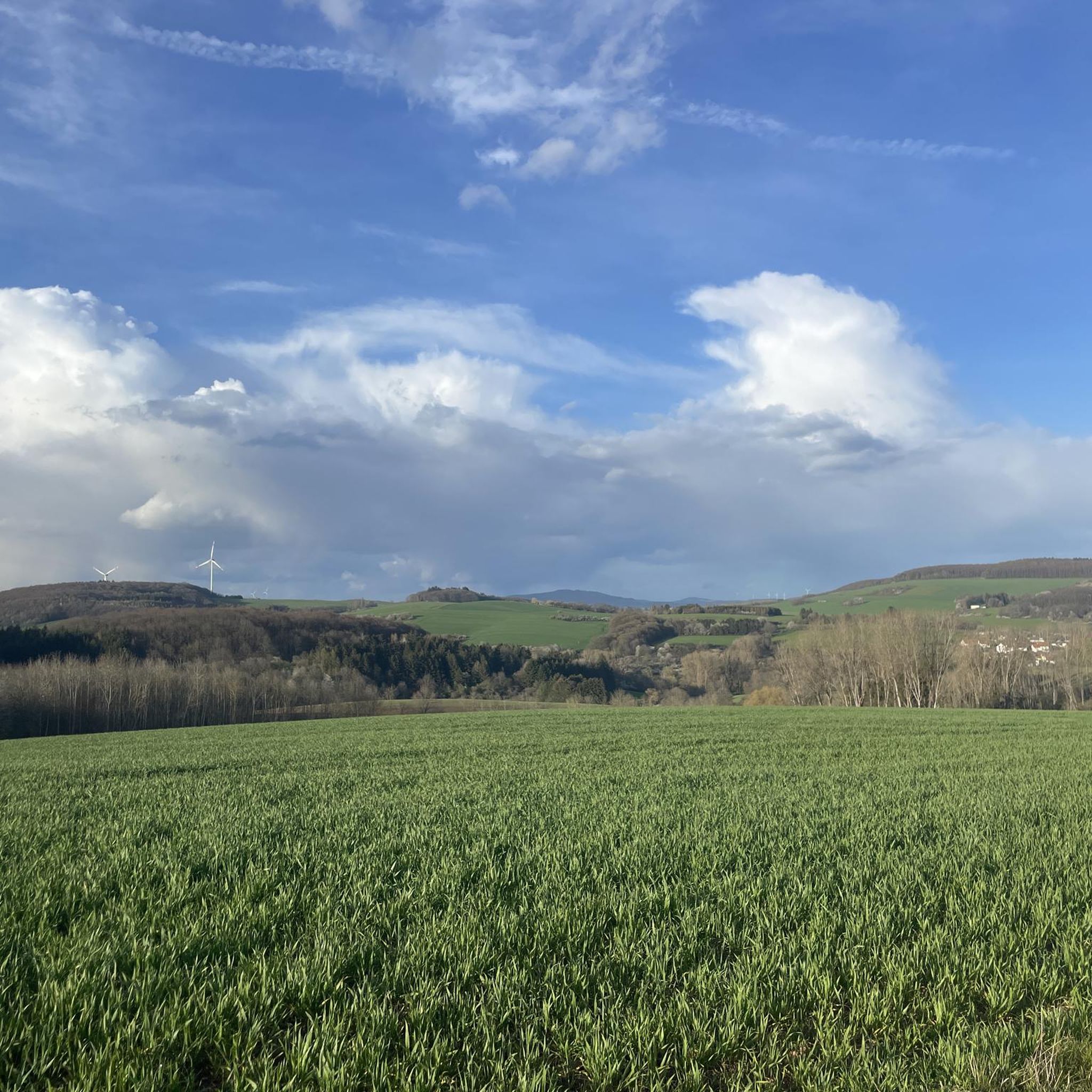
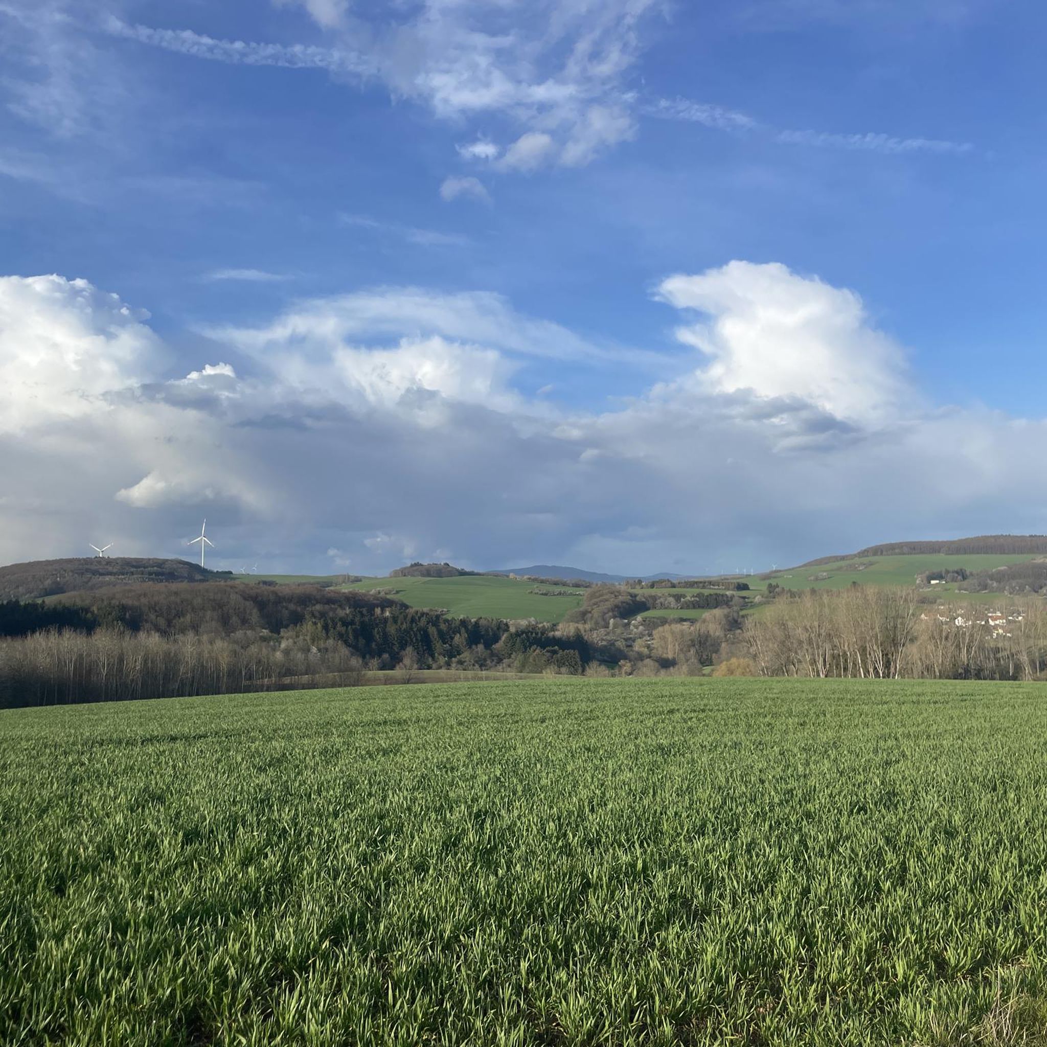
🌄 From the 375-meter-high Wartenstein, an impressive view opens up over the hills of the Northern Palatinate. This spot served as a strategic lookout point in the Middle Ages – a place for lookouts, signal transmission, and perhaps even with a tower, as traces suggest. A French map from 1806 lists Wartenstein as "Signal Warte" – a reference to its use as a Napoleonic signal tower. The name says it all: wait, look out, signal. 💡 Tip: A place with history – and a view. Perfect for a short rest with a panoramic view and a look back into the 18th century.
0
2
🧵 In the Brechkaut (breaking mill) in Dittweiler, flax and hemp were once processed – by hand. The "breaking" was necessary to produce high-quality yarn from the plant fibers. An open fire, iron tools, and communal work characterized village life. As recently as 1900, Brechkaut was an important place for self-sufficiency and community. 💡 Tip: A historical look back to the time when clothing was still made by hand. If you look closely, you can see traces of an old work culture amidst the countryside.
0
1
📍 The Roman Pond near Dittweiler was created in 1975-76 from a damp meadow in the Kohlbach Valley. Today, it's a popular meeting place for walks, barbecues, and summer festivals. Its name refers to earlier Roman settlements in the region. Next to the pond is a lovely playground with a barbecue area—ideal for a hiking break. 💡 Tip: Fancy a rest with a view of the water? Then the bench below the pond is perfect—with a view of the meadow, the table, and the idyllic village.
0
1
🦋 On this panel, you'll learn which animals and plants feel at home in species-rich meadows: from butterflies and bumblebees to grasshoppers and moles, as well as daisies, meadow sage, and dandelions. The information panel explains how important mowing, flowering, and meadow care are for biodiversity – and why every meadow lives differently. 💡 Tip: Stop for a moment and listen – the buzzing, chirping, and rustling is a concert that only occurs in intact habitats.
0
1
🌲 The red wood ant builds meter-high mounds of needles and plant debris and lives in perfectly organized colonies of thousands of individuals. It not only controls pests and aerates the soil, but also provides food for birds such as woodpeckers and wrens. The panel explains the complex formation of colonies and the cycle from egg to worker, soldier, or queen. A silent but essential part of the forest – and often overlooked. 💡 Tip: If you spot an anthill, stop for a moment and observe calmly – you'll see forest life in miniature, perfectly organized.
0
1
ディットヴァイラーでのの人気観光スポット

komootモバイルアプリでインスピレーションを得よう


さらに探索
他の地域の最高のハイキングを見てみましょう。
