ベツゼーのおすすめランニングルート
4.3
(398)
5,152
ランナー
521
ランニング
ベツゼーでランニングを楽しめば、このエリアをより深く知ることができます。ランニングに適した美しいルートが見つかるように、komootがベツゼーでのルートのコレクション全体を評価して選び抜いた、人気ランニングトレイルをご紹介します。ルートをクリックして詳細を表示し、他のユーザーがアップロードした役立つ情報や写真を閲覧しましょう。
最終更新日: 8月 22, 2026
4.9
(17)
120
ランナー
8.51km
00:58
40m
40m
中程度のジョギング. ある程度のフィットネスレベルが必要です。 全般的に舗装された状態です。あらゆるスキルレベルに適しています。
4.8
(10)
42
ランナー
5.06km
00:36
20m
20m
中程度のジョギング. ある程度のフィットネスレベルが必要です。 全般的に舗装された状態です。あらゆるスキルレベルに適しています。

無料新規登録
17
ランナー
21.3km
02:20
100m
100m
難しいジョギング. 標準以上のフィットネスレベルが必要です。 全般的に舗装された状態です。あらゆるスキルレベルに適しています。
4.0
(1)
21
ランナー
5.77km
00:40
30m
30m
中程度のジョギング. ある程度のフィットネスレベルが必要です。 全般的に舗装された状態です。あらゆるスキルレベルに適しています。
6
ランナー
11.8km
01:16
60m
60m
中程度のジョギング. ある程度のフィットネスレベルが必要です。 全般的に舗装された状態です。あらゆるスキルレベルに適しています。
さらに多くのルートや他のユーザーのおすすめ情報を確認できます。
無料新規登録
すでにアカウントをお持ちですか?
おすすめのツアーは他のkomootユーザーが実際に経験した何千ものアクティビティに基づいています。
無料アカウントで今日から始めよう
次の冒険が待っています。
ログインまたは登録
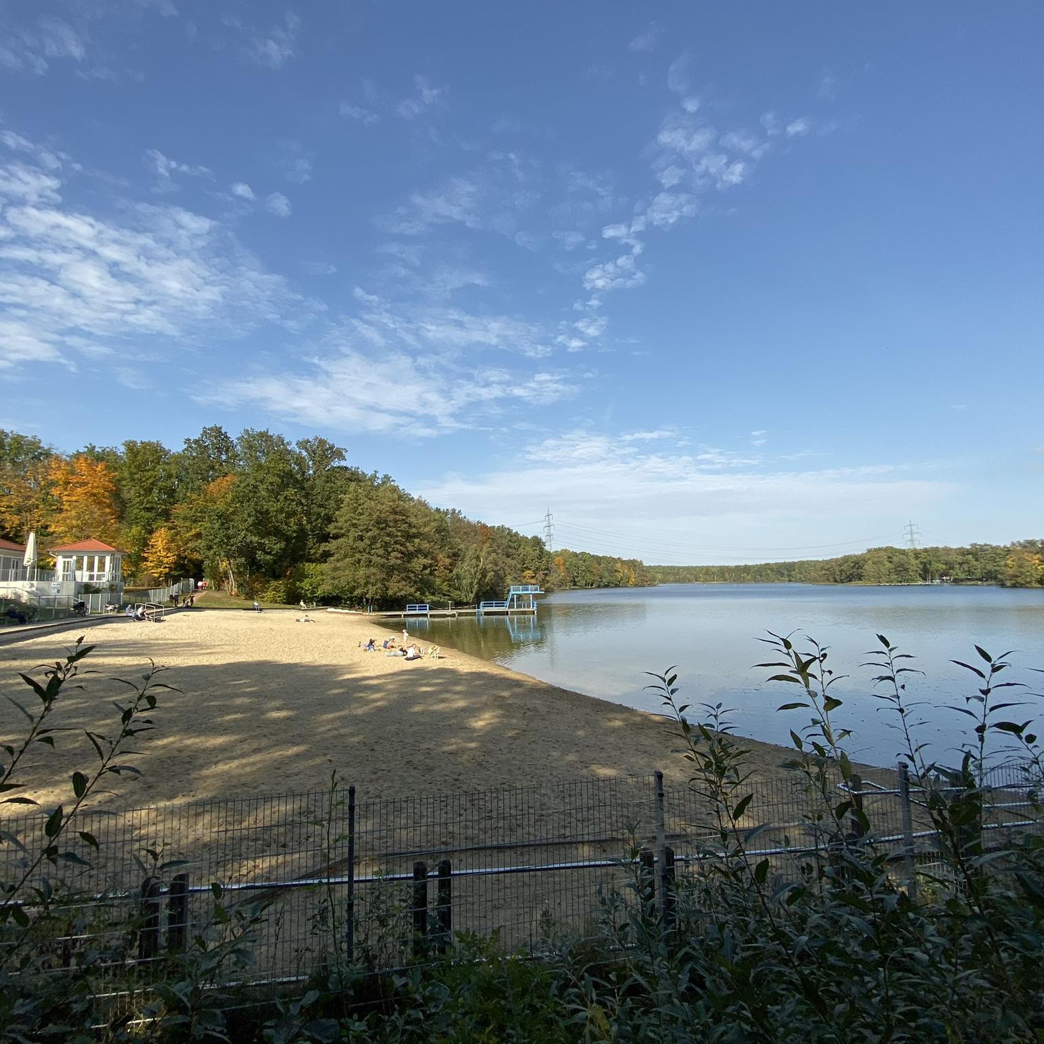
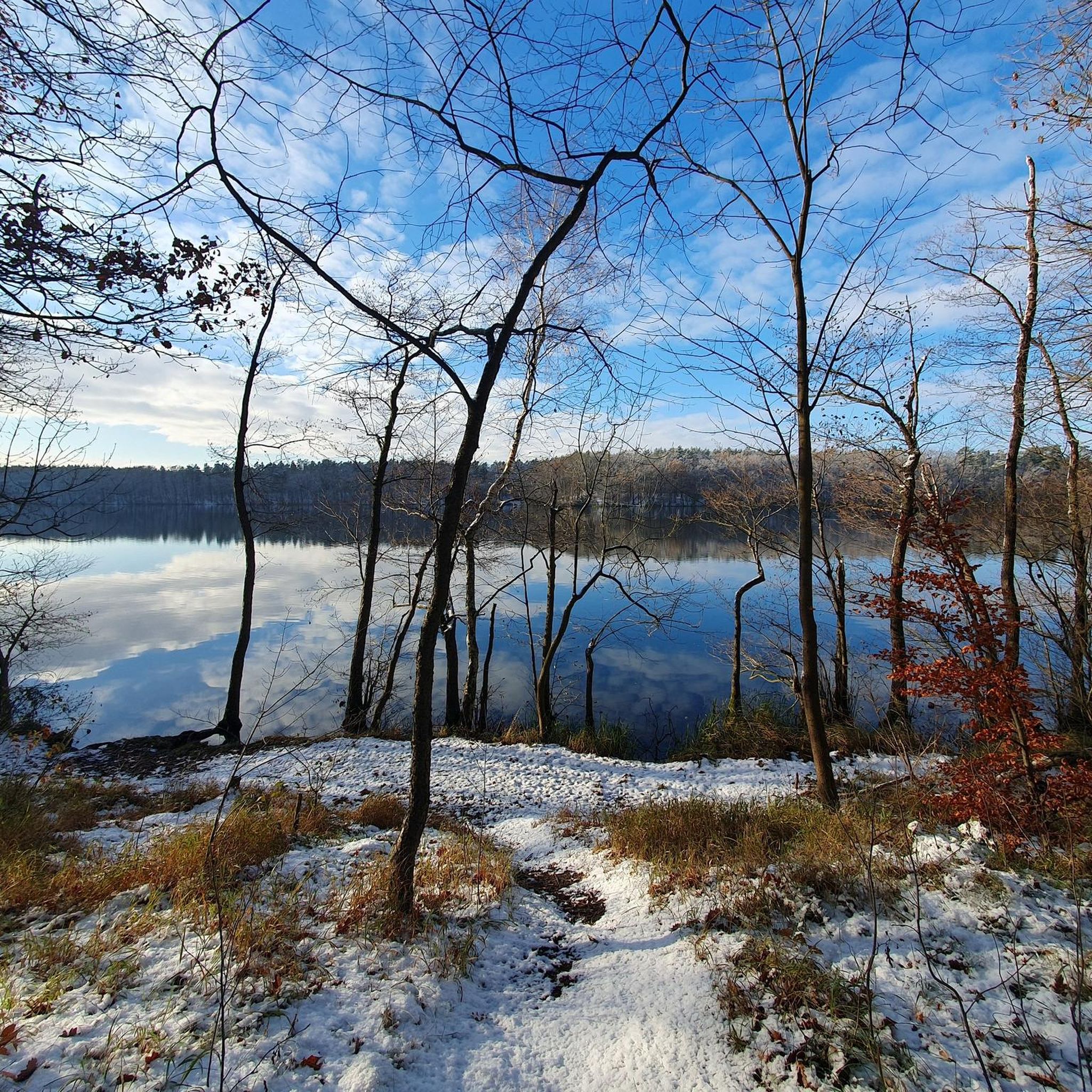
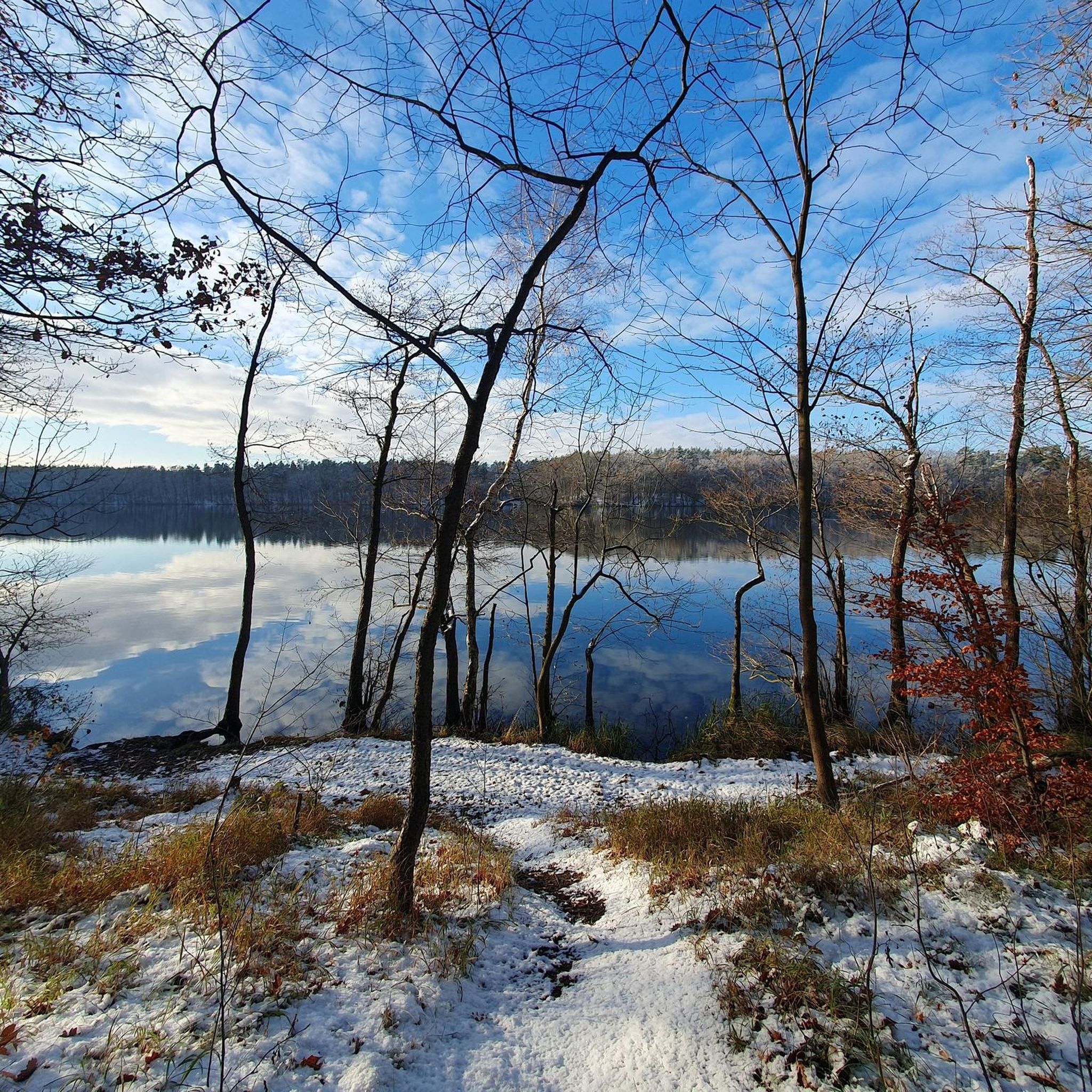
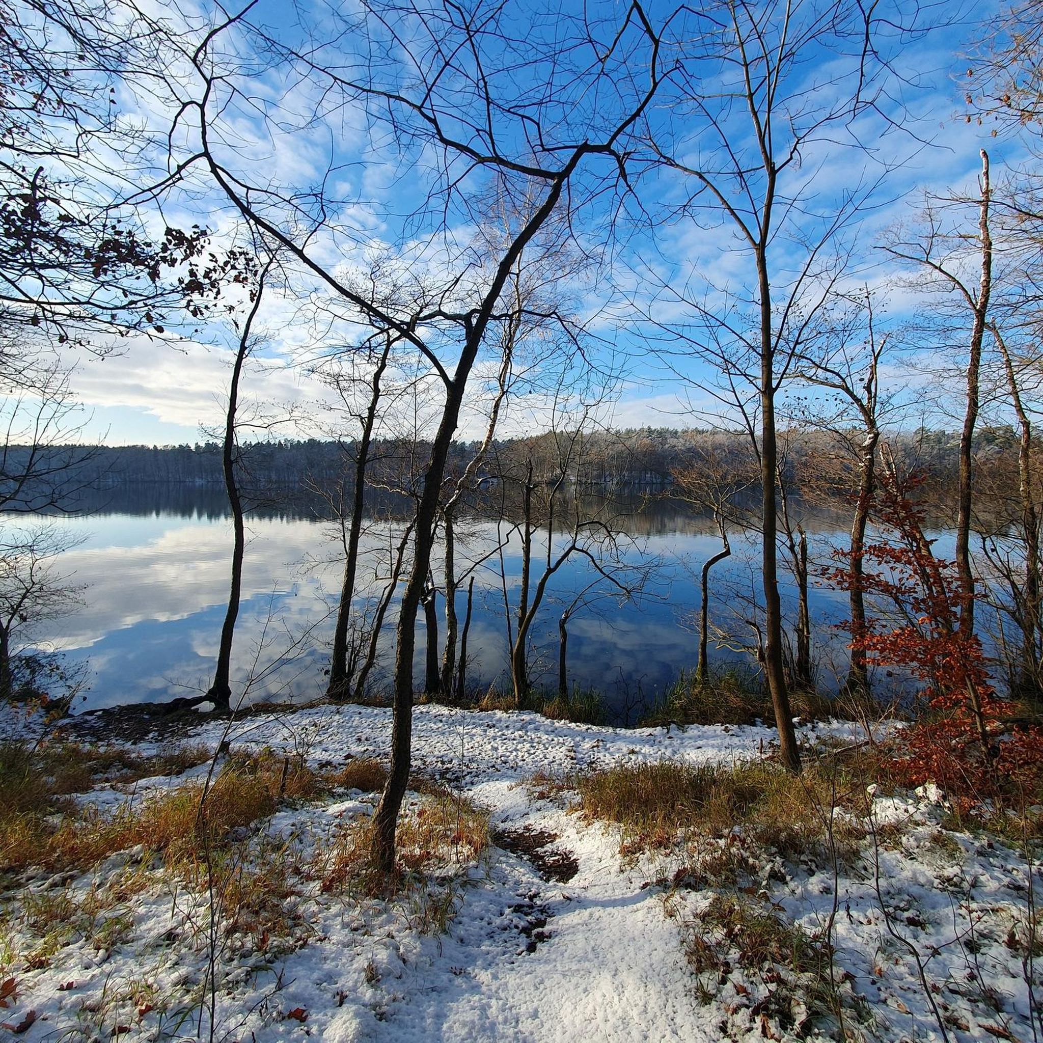
コミュニティからのヒント


A very nicely laid out and easy to walk path. Beautiful view, beautiful forest, I was out at night and had no difficulty finding my way without a lamp.
0
0
I walked the path at night. Even without moonlight it was easy to see and nice to walk. The path is free of roots and you have many beautiful views of the city. Best on a bright moonlit night, of course.
0
0

If you cross the Straussee to the forest side on the electrically operated passenger cable ferry, which is unique in Europe, and follow the shore path in a southerly direction, you will come across a quiet and natural bathing area. If you walk around the Straussee on the disabled-friendly shore path, you will pass numerous small bathing alcoves, which ensure direct access to the lake.
1
0
The Fängersee is the Bielefeld of Brandenburg. Does it exist? It is marked on all maps, but it remains an insider tip. This hike is proof: the lake is there, the water is wet, the summer is hot, the nature is magnificent and the circuit is documented. If you want to know what to expect beforehand, you will find very little. You can read about the fact that the Fängersee is part of a glacial glacial valley on the Wikipedia entry for the neighboring Bötzsee. There is also a reference to the lack of restaurants here: the two historic excursion restaurants Neue and Alte Spitzmühle were closed a few years ago and have not yet found new operators. With the remains of a Slavic castle rampart, there is also an archaeological monument in the Spitzmühle district. Unfortunately, the area seems to be primarily a popular garbage dump. A few years ago, the municipality of Strausberg promised that “the complex would be made recognisable again in the future and
3
0

The hiking trail around the Fängersee, embedded in the nature between Strausberg and Eggersdorf, offers a varied experience through forest areas and along the shore. The trail leads partly over unpaved and root-strewn paths, which can be muddy in wet weather. This stretch is part of a larger hiking route of around 24 km, which also includes the Bötzsee and the Fredersdorfer Mühlenfließ. Rest areas are rare, so bringing your own provisions is recommended, and the trails occasionally require attention when it comes to orientation.
1
0

The Marienberg has a height of 93.5m. The old water tower of Strausberg was built there in 1910 with a height of 35m.
1
0

Just follow the hiking trail =) Everything is well signposted, and there's an ice cream waiting at the end.
2
0
ベツゼーでのの人気観光スポット

komootモバイルアプリでインスピレーションを得よう


さらに探索
他の地域の最高のランニングトレイル & ルートを見てみましょう。
