ルート

プランナー

機能

アップデート

App

ログインまたはサインアップ

アプリを入手

ログインまたはサインアップ

ルート
サイクリングルート
ドイツ
ラインラントプファルツ州
フルカナイフェル

カッツヴィンケル

カッツヴィンケルのおすすめツーリングルート

4.5

(2947)

13,720

ライダー

538

ライド

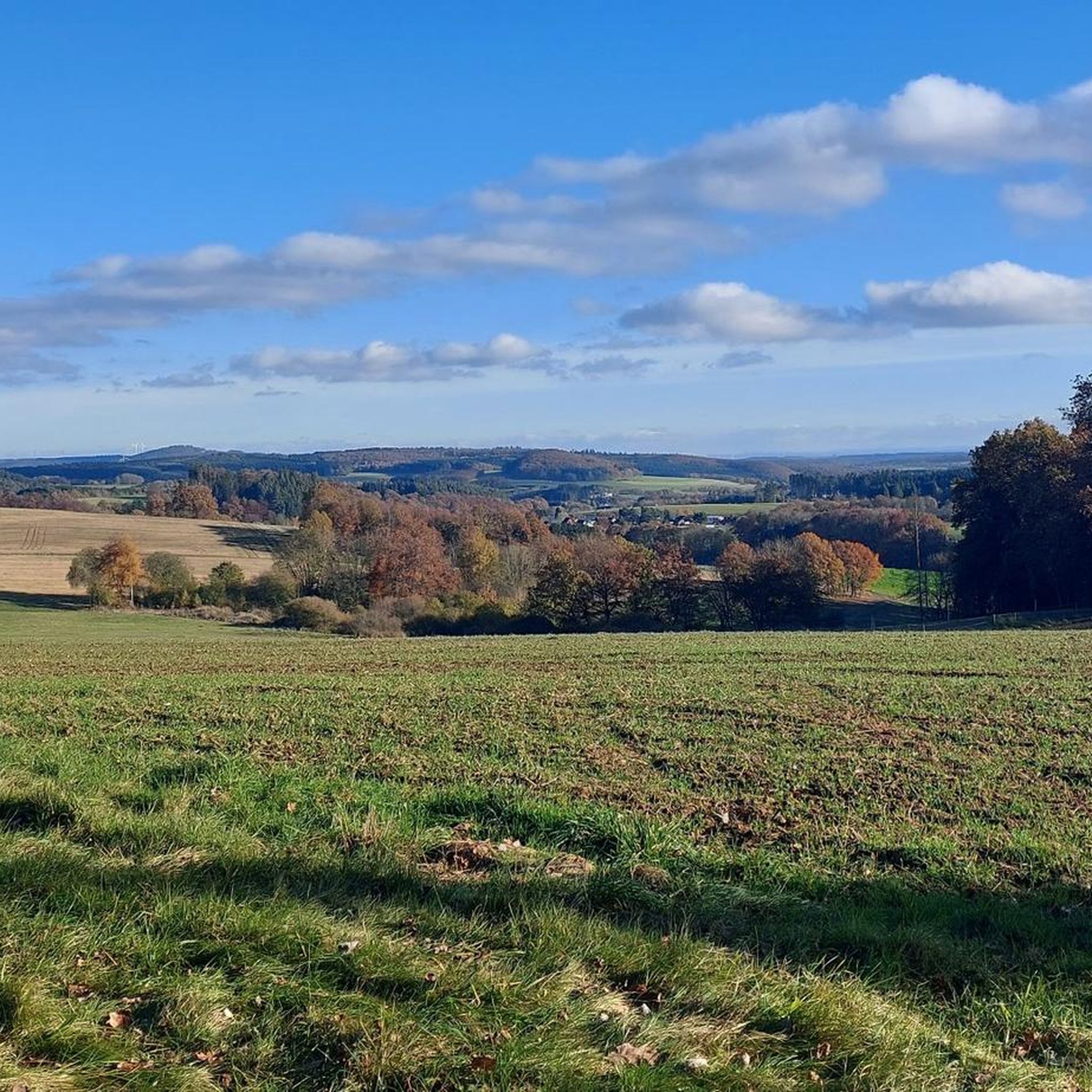
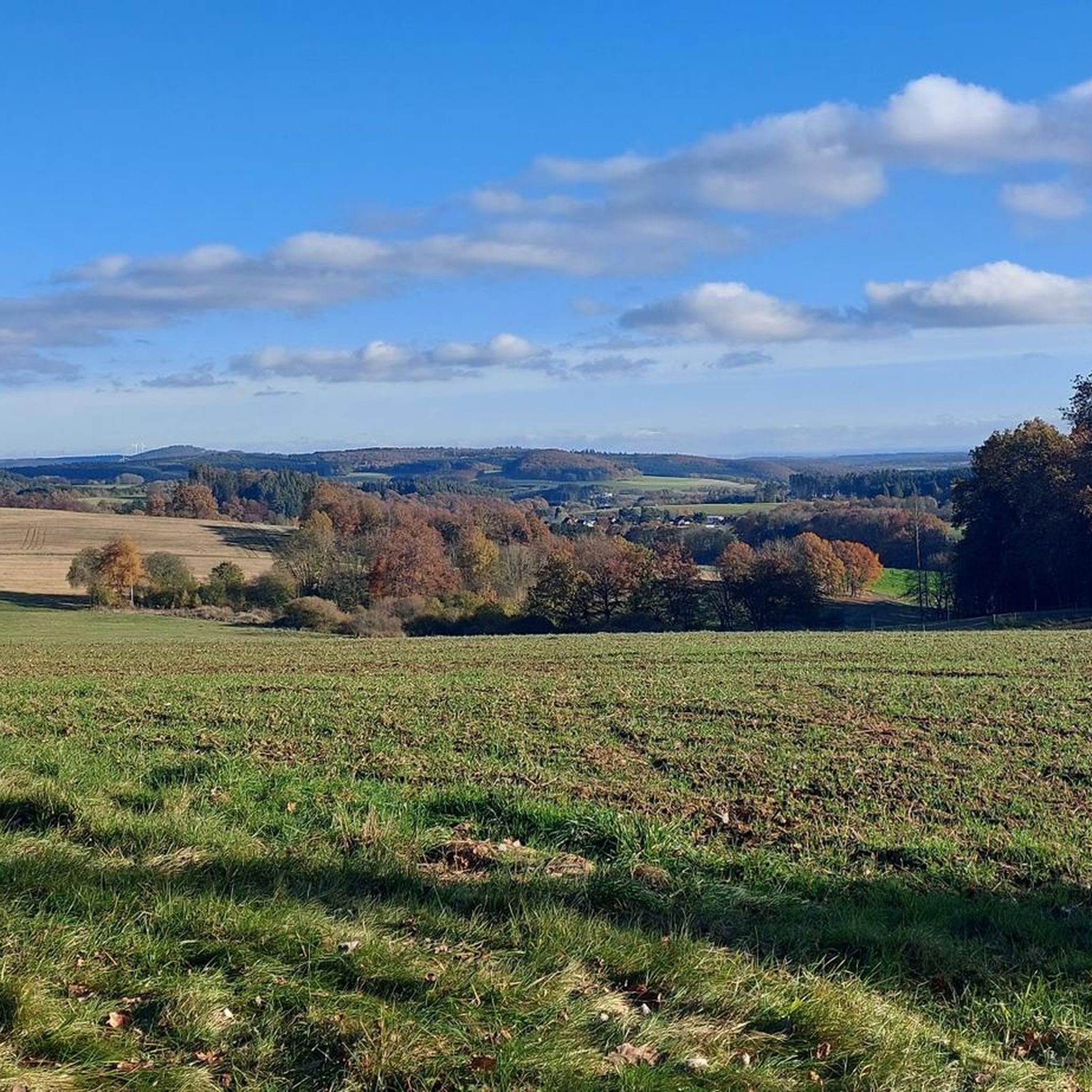
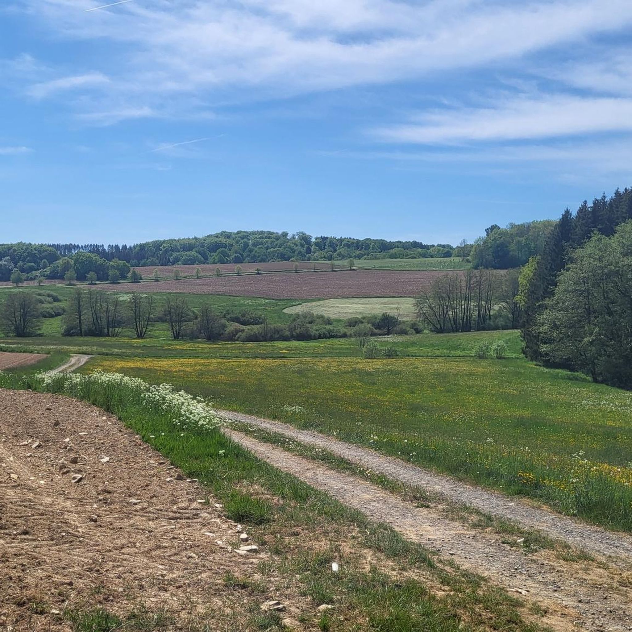
Touring cycling routes around Katzwinkel traverse a varied low mountain range landscape, characterized by hilly surroundings and rolling hills. These Katzwinkel bike trails frequently wind through dense forests and idyllic valleys, often following clear streams and river landscapes like the Sieg and Lahn. Many cycle paths in the region utilize old railway lines, providing mostly flat and well-maintained surfaces suitable for relaxed touring. The area offers a diverse network of routes, including connections to long-distance cycle paths.

Best touring cycling…

最終更新日: 8月 20, 2026

4.5

(17)

63

ライダー

#1.

Kelbergから出発する ヴルカネアイフェルのXXLベンチ – アフェルスクロイツ ループコース

28.7km

02:17

420m

420m

中程度の自転車ライド. ある程度のフィットネスレベルが必要です。 全般的に舗装された状態です。あらゆるスキルレベルに適しています。

デバイスでナビ

スマートフォンに送信

保存

中程度

難しい自転車ライド. 標準以上のフィットネスレベルが必要です。 全般的に舗装された状態です。あらゆるスキルレベルに適しています。

難しい
guide_signup
私たちがkomootモバイルアプリで道を示します
無料の komoot アカウントがあれば、無限のアウトドアコースを簡単に見つけてカスタマイズし、ナビで案内できます。

無料新規登録

中程度の自転車ライド. ある程度のフィットネスレベルが必要です。 全般的に舗装された状態です。あらゆるスキルレベルに適しています。

中程度

難しい自転車ライド. 標準以上のフィットネスレベルが必要です。 全般的に舗装された状態です。あらゆるスキルレベルに適しています。

難しい

中程度の自転車ライド. ある程度のフィットネスレベルが必要です。 全般的に舗装された状態です。あらゆるスキルレベルに適しています。

中程度
無料新規登録すると、カッツヴィンケルでのでのライドをさらに534件ご覧いただけます。

さらに多くのルートや他のユーザーのおすすめ情報を確認できます。

無料新規登録

すでにアカウントをお持ちですか?

おすすめのツアーは他のkomootユーザーが実際に経験した何千ものアクティビティに基づいています。

無料アカウントで今日から始めよう

次の冒険が待っています。
ログインまたは登録

カッツヴィンケル周辺で人気

カッツヴィンケルのロードバイクルート

カッツヴィンケルのMTBトレイル

カッツヴィンケルでのハイキング

カッツヴィンケルでののグラベルライド

カッツヴィンケルのランニングコース

コミュニティからのヒント

Sandra aus dem Westerwald 🚲🥾
3月 8, 2026, Die größte Bank in Rheinland-Pfalz

Take a break and enjoy the view

Google翻訳による翻訳

0

0

is staniel

Google翻訳による翻訳

0

0

A truly amazing experience for young and old. Turn on the lights – even though the tunnel is lit. And in hot weather, it's like riding through a "refrigerator."

Google翻訳による翻訳

0

0

There are very beautiful and paved paths in the Eifel, away from the tourist routes.

Google翻訳による翻訳

1

0

A comfortable bench with a beautiful view—we enjoyed taking a chat break here early in the morning and enjoying the morning atmosphere!

Google翻訳による翻訳

1

0

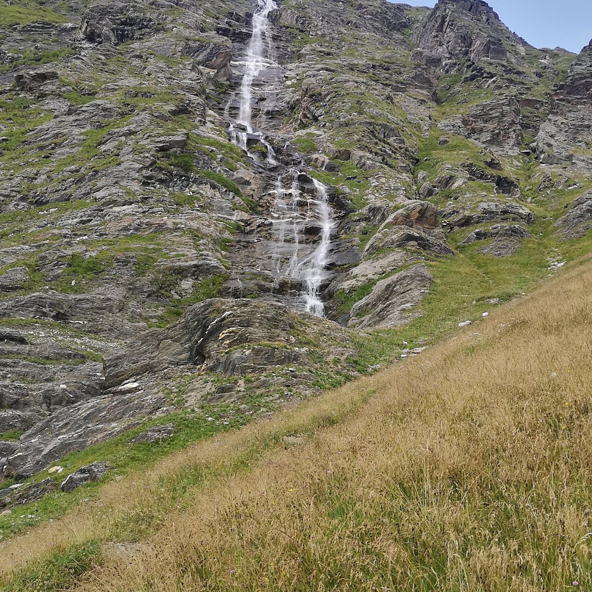
The landscape reflects the geological development of millions of years.

Google翻訳による翻訳

6

0

The Sarmersbach XXL or panoramic bench was built in November 2020 and is the largest bench in Rhineland-Palatinate. At 3.25 meters high and 6.27 meters long, it is unique. Over 6 cubic meters of Douglas fir wood were used. You can easily reach the bench via a wooden walkway – no climbing required! However, enter at your own risk. Anyone who takes a break here will be rewarded with a magnificent view.

Google翻訳による翻訳

6

0

The Afelskreuz (indulgence cross, mistakenly interpreted as the "Eifel Cross") stands on an old Roman military road. For centuries, pilgrims from the Bonn-Cologne region have traveled this route to the grave of the Apostle Saint Matthias in Trier. This path is therefore also popularly known as the Pilgrim's Route. Another name is the "Piglet Route," because farmers and traders drove their cattle along the Afelskreuz to the markets in Kelberg and Mehren until the 1830s. It is noteworthy that the cities of Trier and Cologne are equidistant from the Afelskreuz (Afelskreuz), some 90 kilometers away. The Romans already established a well-developed network of paths, which can still be seen today. Hörschhausen was a junction of several Roman-era paths and roads. There was also a path from Hörschhausen to Bongard, which crossed the main road between Uess and Lieser at the Afelskreuz.

Google翻訳による翻訳

6

0

カッツヴィンケルでのの人気ルート

カッツヴィンケルのロードバイクルート

カッツヴィンケルでのの人気観光スポット

Natural Monuments

Store rating

komootモバイルアプリでインスピレーションを得よう

無料のkomootアカウントがあれば、無限のアウトドアコースを簡単に見つけてカスタマイズし、ナビで案内できます。

または

今すぐkomootに参加しよう

Store rating

さらに探索

他の地域の最高のサイクリングルートを見てみましょう。

ダウンForst ArenbergゲロルシュタインバスベルクケテリヘンエルシャイトウエスモスブルッフウアースフェルトヒレスハイムシャルケンメーレンシュラーDauner Maareカレンボルン・ショエルンハルシュラグオーバーベッティンゲンシュタットキルフォイスドルフギレンフェルトプルヴェルマアーヴィンケル(アイフェル)ウドラーRetterathシャルケンメーレナーマールユンケラートブレックハウゼンニーダーシュタットフェルドOberehe-Stroheichドーム・ランマースドルフフルカナイフェルのベルリンゲンビルレスボルンサッセンホーエンフェルスエッシンゲンリルシュタルザクスラーオーバーシュタットフェルトヘルシュハウゼンホルペラートケルバーグシャイドノンヴェルハラートウッツェラートベレンバッハグンデラートヴァインフェルダーマールカペリッヒヘーヒシュトゥベルクヒンターヴァイラーニッツビルゲルリッセンドルフデンスボルンミュッケルンシュッツヴィースバウムウーックスハイムシュテッフェルンキルヒヴァイラーケルシェンバッハマイスブルクシュトロッツビュッシュヘルシャイトドライス・ブリュックデメラートブリュックタールウーダースドルフヴァレンボルンバインハウゼンライメラートネロートアルバッハボルラーコップブロックシャイトペルムオーバーエルツLampertstal Und Alendorfer Kalktriften Und Mit Fuhrbach Und Mackentalボーデンバッハケルペン(アイフェル)ダルシャイトロッケスキールベレーボルンクラーデンバッハドゥパッハドイデスフェルトインメラートゲレンベルクサルムオーモントナイヘンコルヴェラートドリーズシュトローンベッテルドルフザルマースバッハシュタイニンゲンシュタインエーベルクドックワイラーミュルレンバッハボンガードキルスバッハオタク

近くのアドベンチャーガイド

ウエスでやるべきこと

background

新しいピークを征服する準備をしよう

無料でサインアップ

探検する
ルートルートプランナー機能バウチャーを利用ハイキングMTBトレイルロードバイクルートバイクパッキングサイトマップ
アプリをダウンロード
SNSでフォローする

© komoot GmbH

プライバシーポリシー