ダルシャイトのおすすめツーリングルート
4.5
(3110)
13,351
ライダー
17
ライド
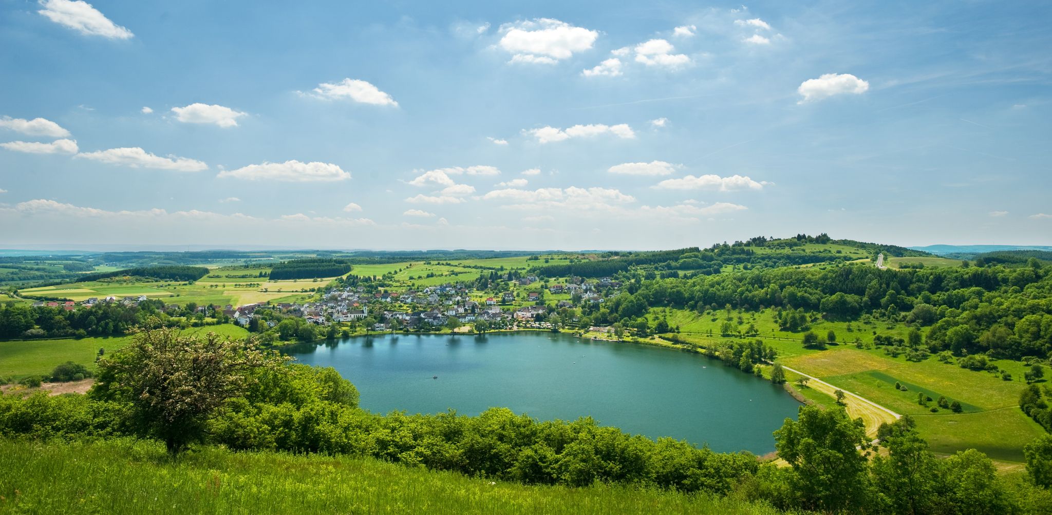
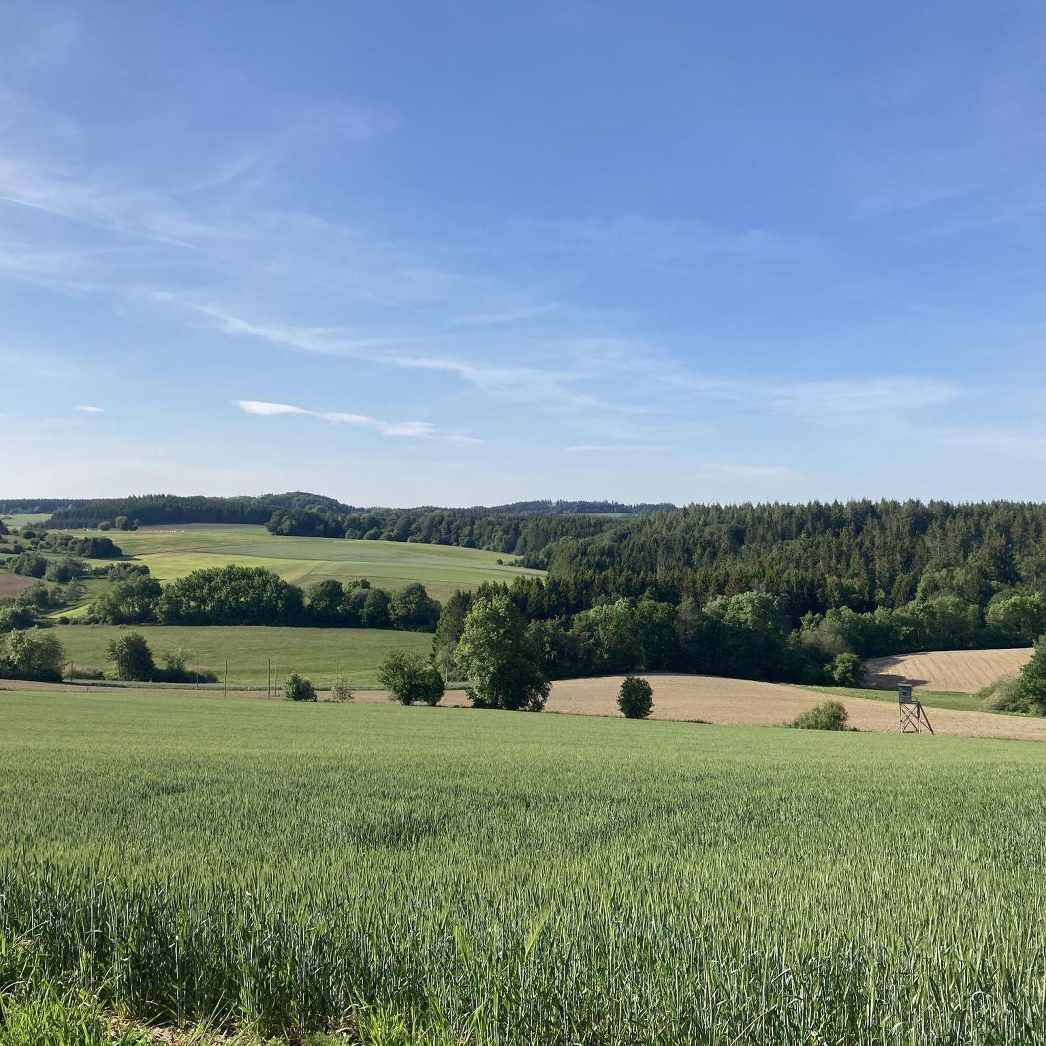
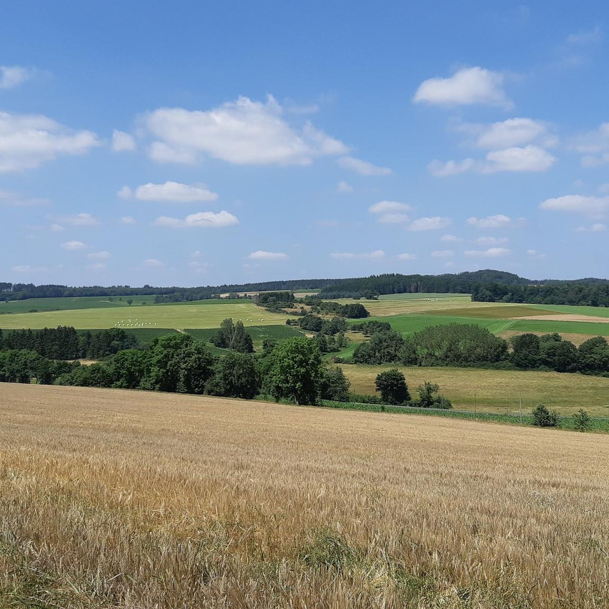
Darscheid周辺のサイクリングツアーでは、ユネスコ世界ジオパークであるVulkaneifel地域のユニークな火山景観を通るルートが楽しめます。地形は、火山のクレーター、マール(クレーター湖)、鬱蒼とした森、起伏のある丘が混在しています。サイクリストは、かつての鉄道線路や川沿いの比較的平坦なルートから、火山の丘へのより挑戦的な登りまで、多様なトレイルを見つけることができます。
Darscheid周辺のベストサイクリングルート
- 最も人気のあるサイクリングルートは、ダルシャイト発、ウエスバッハ・シェーンバッハー・ミューレ~フィリメリッヒ・シェルタービュー・オブ・ダウン ループで、距離15.7マイル(25.3 km)、所要時間1時間53分です。このルートはウエスバッハに沿っており、ダウン方面の風光明媚な景色を楽しめます。
- 地元のサイクリストに人気のもう一つのルートは、ダルシャイト発、マイデン・ポンド~ユンファー・ポンド ループで、中程度の難易度で距離16.0マイル(25.7 km)です。このルートはユンファー・ポンドの周りを巡り、クレーター湖の景色を眺めることができます。
- 地元のサイクリストに愛されているのは、ダルシャイト発、ジャイアンツ・ベンチ~ウルマー・マール・トンネル ループで、距離21.3マイル(34.3 km)、所要時間約2時間48分です。このルートは、多様なアイフェル地方の景観を通り抜けます。
- Darscheid周辺のサイクリングツアーは、火山景観、マール、そしてかつての鉄道線路が特徴です。このネットワークは、簡単なライドからより挑戦的な登りまで、さまざまなレベルのサイクリストに対応するオプションを提供しています。
- Darscheidのルートは、komootコミュニティから高く評価されており、50件以上のレビューで平均4.6つ星を獲得しています。190人以上のサイクリストがkomootを利用して、Darscheidの多様な地形を探索しています。
最終更新日: 10月 13, 2026
4.1
(7)
53
ライダー
25.0km
01:51
400m
400m
中程度の自転車ライド. ある程度のフィットネスレベルが必要です。 全般的に舗装された状態です。あらゆるスキルレベルに適しています。
4.8
(6)
27
ライダー
33.7km
02:47
540m
540m
難しい自転車ライド. 標準以上のフィットネスレベルが必要です。 全般的に舗装された状態です。あらゆるスキルレベルに適しています。

5.0
(1)
17
ライダー
7.22km
00:32
100m
100m
初級者向けバイクライド. あらゆるフィットネスレベルに適しています。 全般的に舗装された状態です。あらゆるスキルレベルに適しています。
5.0
(1)
9
ライダー
12.0km
00:52
140m
140m
初級者向けバイクライド. あらゆるフィットネスレベルに適しています。 全般的に舗装された状態です。あらゆるスキルレベルに適しています。
4.0
(1)
13
ライダー
27.3km
02:23
410m
410m
中程度の自転車ライド. ある程度のフィットネスレベルが必要です。 全般的に舗装された状態です。あらゆるスキルレベルに適しています。
さらに多くのルートや他のユーザーのおすすめ情報を確認できます。
すでにアカウントをお持ちですか?
おすすめのツアーは他のkomootユーザーが実際に経験した何千ものアクティビティに基づいています。


コミュニティからのヒント


There are very beautiful and paved paths in the Eifel, away from the tourist routes.
1
0

1 million years of geology. Worth putting your bike aside for a moment.
6
0
The landscape reflects the geological development of millions of years.
6
0
Beautiful cozy square in the middle of the village.
5
0
The Sarmersbach XXL or panoramic bench was built in November 2020 and is the largest bench in Rhineland-Palatinate. At 3.25 meters high and 6.27 meters long, it is unique. Over 6 cubic meters of Douglas fir wood were used. You can easily reach the bench via a wooden walkway – no climbing required! However, enter at your own risk. Anyone who takes a break here will be rewarded with a magnificent view.
6
0
The Afelskreuz (indulgence cross, mistakenly interpreted as the "Eifel Cross") stands on an old Roman military road. For centuries, pilgrims from the Bonn-Cologne region have traveled this route to the grave of the Apostle Saint Matthias in Trier. This path is therefore also popularly known as the Pilgrim's Route. Another name is the "Piglet Route," because farmers and traders drove their cattle along the Afelskreuz to the markets in Kelberg and Mehren until the 1830s. It is noteworthy that the cities of Trier and Cologne are equidistant from the Afelskreuz (Afelskreuz), some 90 kilometers away. The Romans already established a well-developed network of paths, which can still be seen today. Hörschhausen was a junction of several Roman-era paths and roads. There was also a path from Hörschhausen to Bongard, which crossed the main road between Uess and Lieser at the Afelskreuz.
6
0

good bakery
0
0

komootモバイルアプリでインスピレーションを得よう


さらに探索
他の地域の最高のサイクリングルートを見てみましょう。
