アパラチア山脈のおすすめライド
4.7
(468)
31,487
ライダー
3,090
ライド
このガイドでご紹介するのは、komootがアパラチア山脈でのロードバイクルートのコレクション全体を評価して選び抜いた、このエリアの人気バイクライドです。あなたに合ったものを見つけるには、以下のルートをクリックして標高データや舗装状態の分析などの細かな情報を把握し、さらにkomootコミュニティのメンバーが投稿した役立つ情報や写真も閲覧しましょう。
最終更新日: 8月 31, 2026
5.0
(1)
142
ライダー
62.8km
03:10
910m
910m
Embark on a picturesque road cycling journey through the foothills of the Blue Ridge Mountains with the Lake Lanier & Downtown Tryon loop. This route offers a delightful mix of…
5.0
(8)
121
ライダー
44.0km
01:47
200m
200m
The Ashuwillticook Rail Trail offers a delightful journey through the Hoosac River Valley, providing smooth, paved surfaces perfect for road cycling. You'll glide past the serene Cheshire Reservoir and the…

無料新規登録
5.0
(1)
110
ライダー
86.0km
05:17
2,260m
2,260m
The Mountains to Sea Bicycle Route offers a difficult road cycling challenge, spanning 53.5 miles (86.0 km) with a substantial elevation gain of 7424 feet (2263 metres). This demanding ride…
4.0
(1)
89
ライダー
62.8km
02:50
600m
600m
Embark on the Bear Notch Road loop for a moderate racebike adventure through the serene White Mountain National Forest. This route spans 39.0 miles (62.8 km) and involves a total…
5.0
(1)
86
ライダー
12.5km
02:02
1,410m
20m
Imagine tackling one of the most demanding road cycling climbs in the US: the Mount Washington Auto Road Bicycle Hillclimb race course. This difficult 7.8-mile (12.5 km) route begins with…
82
ライダー
126km
06:58
2,650m
2,660m
The Woody Gap to Chattahoochee Wildlife Management Area loop offers a deep dive into the mountainous forest landscapes of North Georgia. As you cycle, you'll be treated to expansive green…
5.0
(1)
71
ライダー
34.7km
01:24
110m
110m
The Child's Pond from Hanover route offers a delightful and easy road cycling experience, guiding you through the charming New Hampshire countryside. You'll pass by local farms and gardens, enjoying…
65
ライダー
65.4km
03:37
1,410m
1,410m
Embark on a challenging racebike adventure with the Helen to Steedly Mountain via Richard B. Russell Scenic Highway loop. This difficult route covers 40.6 miles (65.4 km) and climbs a…
66
ライダー
81.4km
04:26
1,510m
1,510m
The Caesars Head Hotel & Caesars Head Mountain loop is a demanding road cycling route that plunges you into the heart of the Blue Ridge Escarpment. You'll navigate dense woodlands…
5.0
(3)
44
ライダー
54.5km
02:27
580m
580m
The Squam Lake loop from Ashland is a fantastic road cycling experience, offering a blend of New Hampshire's natural beauty and a solid physical challenge. You'll pedal past the serene…
さらに多くのルートや他のユーザーのおすすめ情報を確認できます。
無料新規登録
すでにアカウントをお持ちですか?
おすすめのツアーは他のkomootユーザーが実際に経験した何千ものアクティビティに基づいています。
無料アカウントで今日から始めよう
次の冒険が待っています。
ログインまたは登録
アパラチア山脈周辺で人気
Greenbrier River & Allegheny Highlands Loop — West Virginiaの荒野の美しさの心臓部をCycling
Mountains-to-Sea Trail — スモーキー山脈から大西洋までの壮大な冒険

アメリカン・ディスカバリー・トレイル - 海から輝く海まで歩く
Mid State Trail — Pennsylvania Divide を横断

Benton MacKaye Trail — ジョージアからスモーキーまでのハイキング
Tuscarora Trail — Appalachia の背骨を横断する遠隔地の Trek
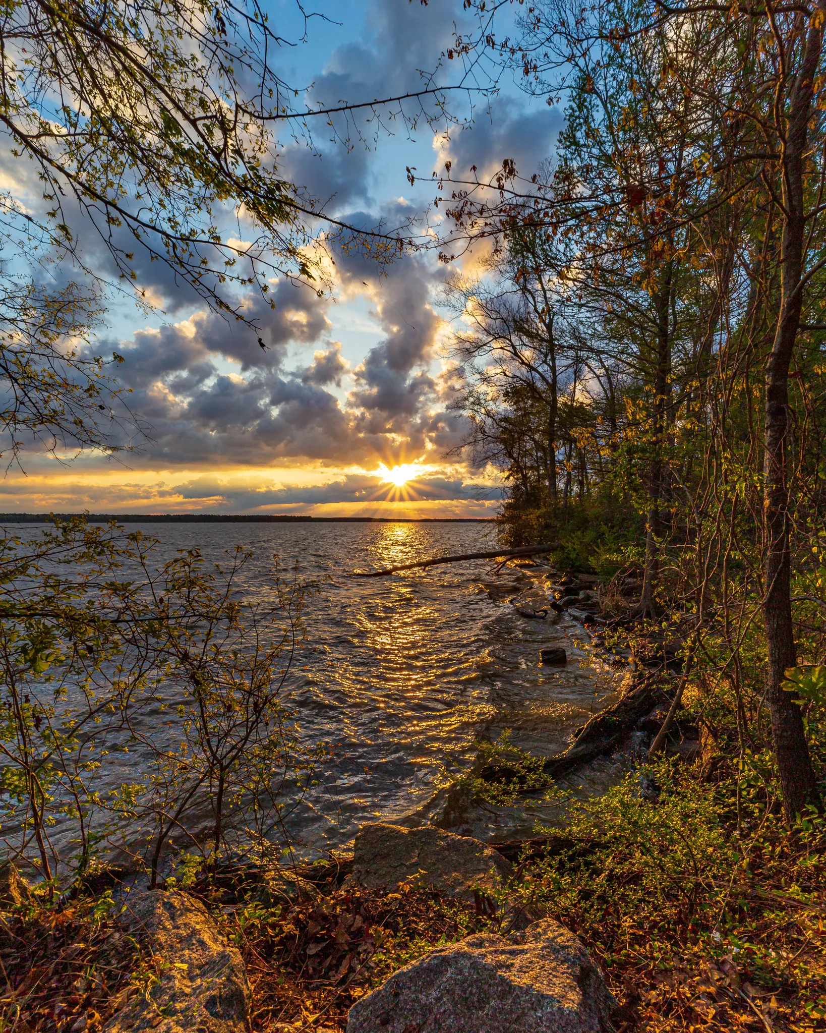
Palmetto Trail — サウスカロライナのMountainsとMarshesをCycling
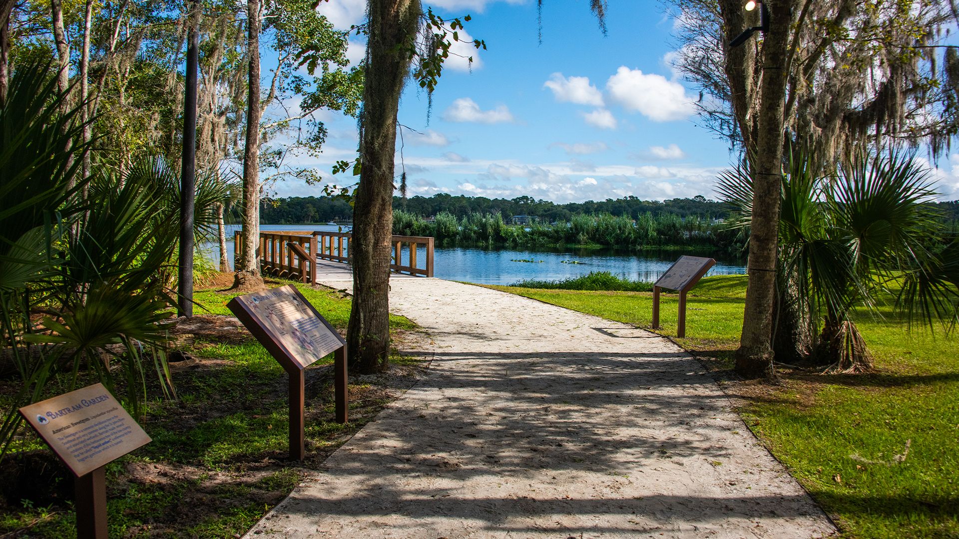
The Bartram Trail — William Bartramの足跡をたどる

Appalachian Trail — アメリカで最も象徴的な長距離Hike
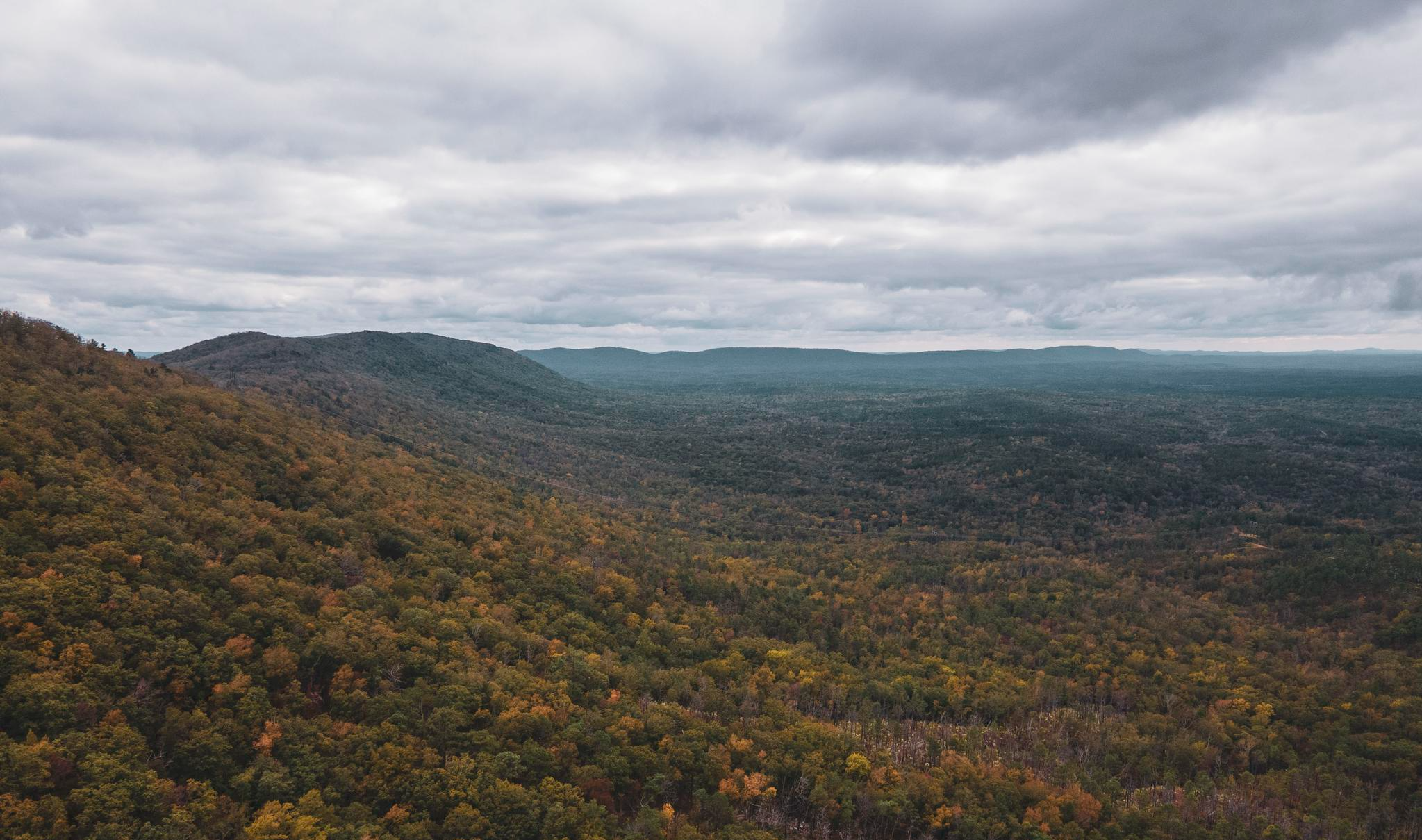
Pinhoti Trail — Alabama & Georgiaの最南端のAppalachias
アパラチア山脈でのの他の冒険


コミュニティからのヒント

This is the most beautiful rail trail in Massachusetts hands down.
0
0

Last summit on the official "Six Gaps" route, with a 6-mile beautiful, easy-flowing descent from here. Just don't start too close to any motor vehicle in front of you, if you want to enjoy the descent without braking much.
0
0

This remarkable 7.6-mile climb, accessible to cyclists only twice each year, commences in the town of Glen House. From there, the Mt. Washington Auto Road winds its way upward like a a two-lane ribbon. As you climb, you pass through forests and ultimately above the treeline. The views will pay you back when you reach the 6,288-foot summit of Mt. Washington!
0
0

Washington is the most prominent mountain in the eastern U.S. and an absolutely incredible peak to bag. This is easily one of the best summits in New England. It is also the most dangerous if you come unprepared, especially in the winter. Washington creates its own rapidly changing weather system and is known for being the deadliest small mountain in the world. The second-fastest wind speed on earth was recorded here at over 230mph. That said, a quarter million people visit Washington every year, and if you come prepared and respect the mountain you have nothing to fear and are guaranteed to have an epic summit.
0
0

Converted from an old railroad track, the Ashuwillticook Rail Trail is now a 10 foot wide, 14.2 mile, paved multi use trail meandering along the Cheshire Reservoir while offering sublime views of Mt. Greylock.
0
0
Located just north of Adams, the Ashuwillticook Rail Trail Head sets a lovely tone for the rest of your ride along the trail, perfectly smooth and easy to use for families.
0
0

Dress warmly. Snow season begins July 1 and ends June 30. We were at 68 mph at the summit. Keeping your hat on is a good idea. Two days ago, when we were last up there, it was 73 degrees Fahrenheit and the wind was blowing lightly around 23 mph. Mt. Washington is the highest peak within 1,000 miles, making it an exposed location with what the US Weather Service calls the worst and most surprising weather in the world.
0
0
Stunning views from Steedly Mountain into the Blue Ridge Mountains of Georgia!
0
0

komootモバイルアプリでインスピレーションを得よう


さらに探索
他の地域の最高のロードサイクリングルートを見てみましょう。
