アパラチア山脈周辺のおすすめバス停からハイキング&ウォーキング
4.7
(6446)
99,166
ハイカー
98
ハイキング
Bus station hiking trails in the Appalachian Mountains traverse an ancient mountain range characterized by rounded, weathered peaks and extensive broadleaf forests. The region features numerous streams, creeks, and waterfalls, providing diverse natural landscapes. Hikers can experience the "green tunnel" effect through dense woodlands and discover panoramic vistas from higher elevations. This geology supports a rich biodiversity and a vast network of trails suitable for various outdoor activities.
Best bus station hiking trails in the Appalachian Mountains
- The most popular…
最終更新日: 11月 14, 2026
7
ハイカー
4.29km
01:17
140m
140m
初級者向けハイキング. 歩きやすい道です。
4.0
(1)
72
ハイカー
3.34km
01:14
150m
150m
中程度のハイキング. ほとんどが歩ける道です。足元への注意が必要です。

4.0
(2)
54
ハイカー
4.42km
01:09
30m
30m
初級者向けハイキング. 歩きやすい道です。
5.0
(1)
27
ハイカー
7.69km
03:18
420m
420m
中程度のハイキング. ある程度のフィットネスレベルが必要です。 ほとんどが歩ける道です。足元への注意が必要です。
5.0
(2)
29
ハイカー
6.75km
02:25
220m
220m
中程度のハイキング. ある程度のフィットネスレベルが必要です。 ほとんどが歩ける道です。足元への注意が必要です。
さらに多くのルートや他のユーザーのおすすめ情報を確認できます。
すでにアカウントをお持ちですか?
おすすめのツアーは他のkomootユーザーが実際に経験した何千ものアクティビティに基づいています。
無料アカウントで今日から始めよう
次の冒険が待っています。
アパラチア山脈周辺で人気

Mountains-to-Sea Trail — スモーキー山脈から大西洋までの壮大な冒険

アメリカン・ディスカバリー・トレイル - 海から輝く海まで歩く
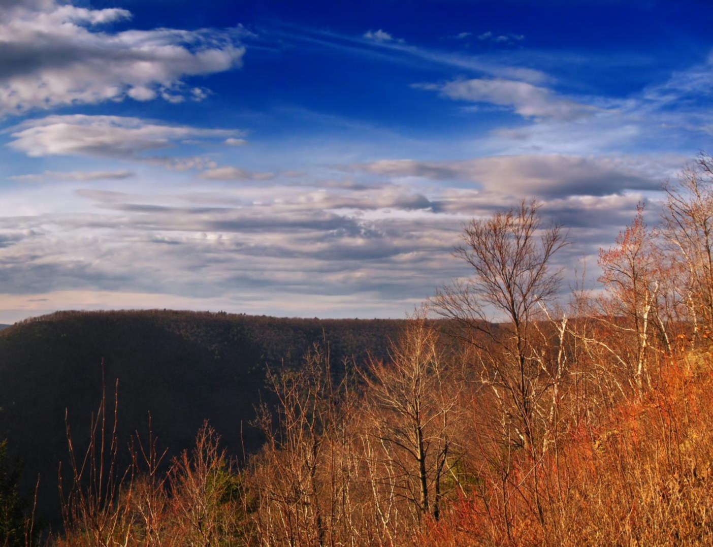
Mid State Trail — Pennsylvania Divide を横断

Benton MacKaye Trail — ジョージアからスモーキーまでのハイキング
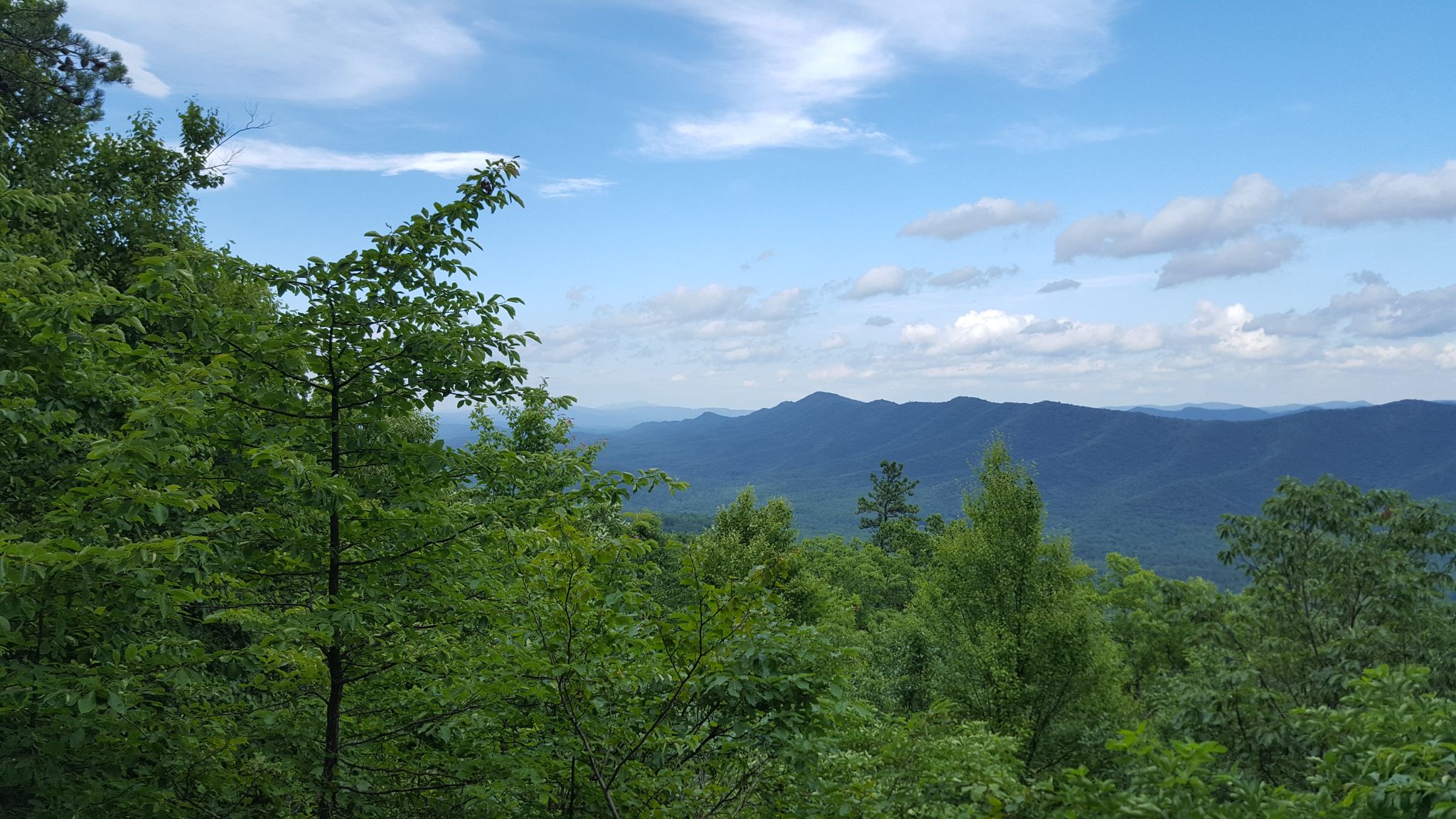
Tuscarora Trail — Appalachia の背骨を横断する遠隔地の Trek
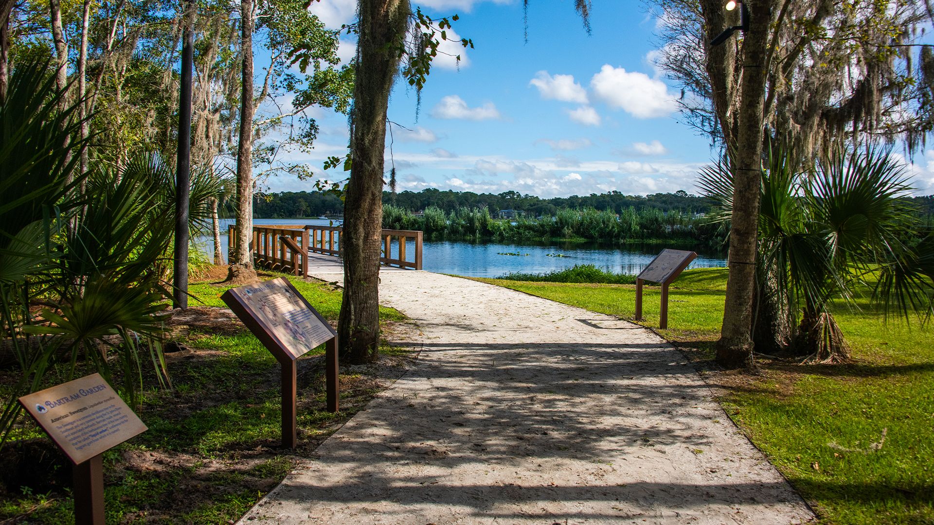
The Bartram Trail — William Bartramの足跡をたどる
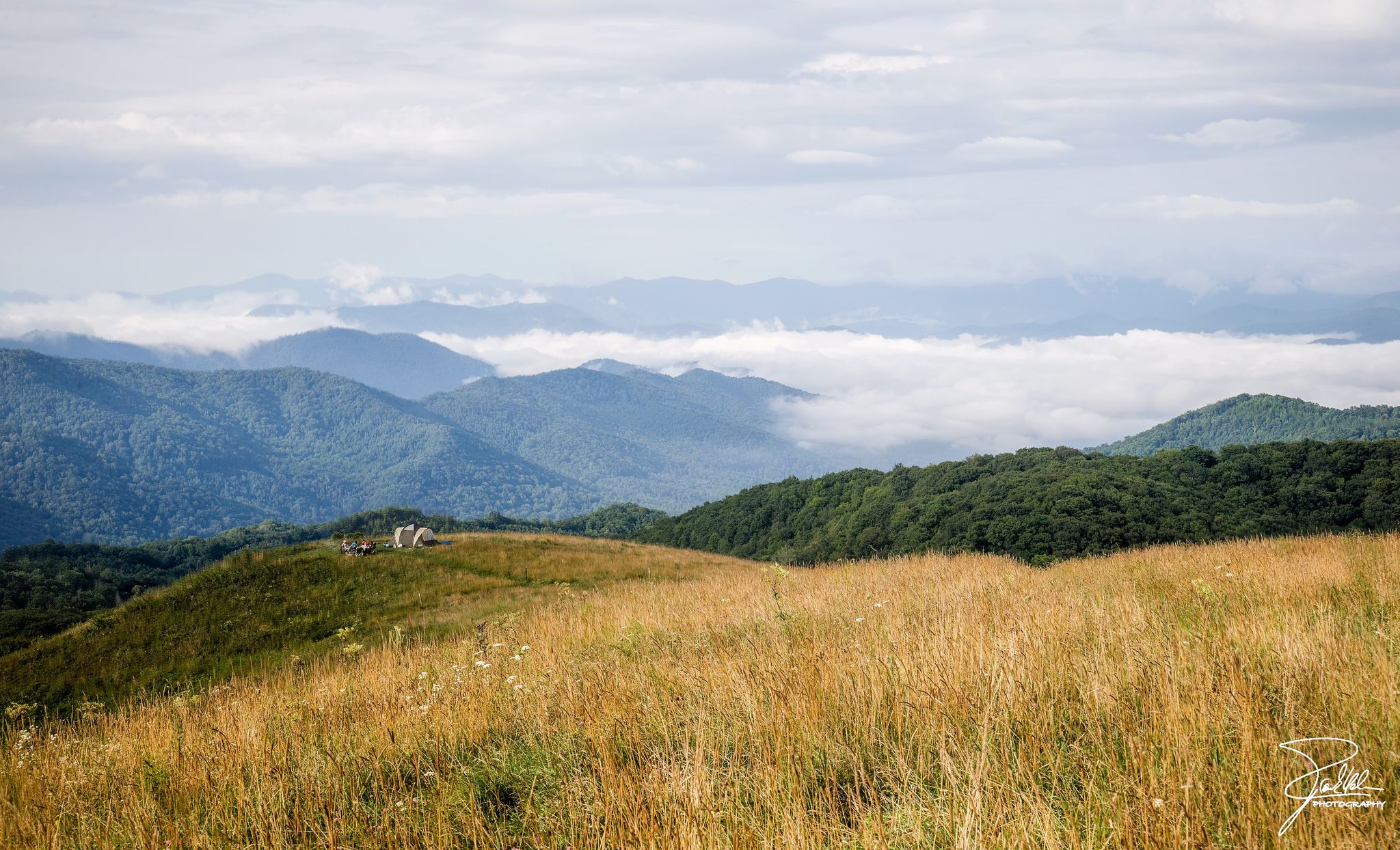
Appalachian Trail — アメリカで最も象徴的な長距離Hike
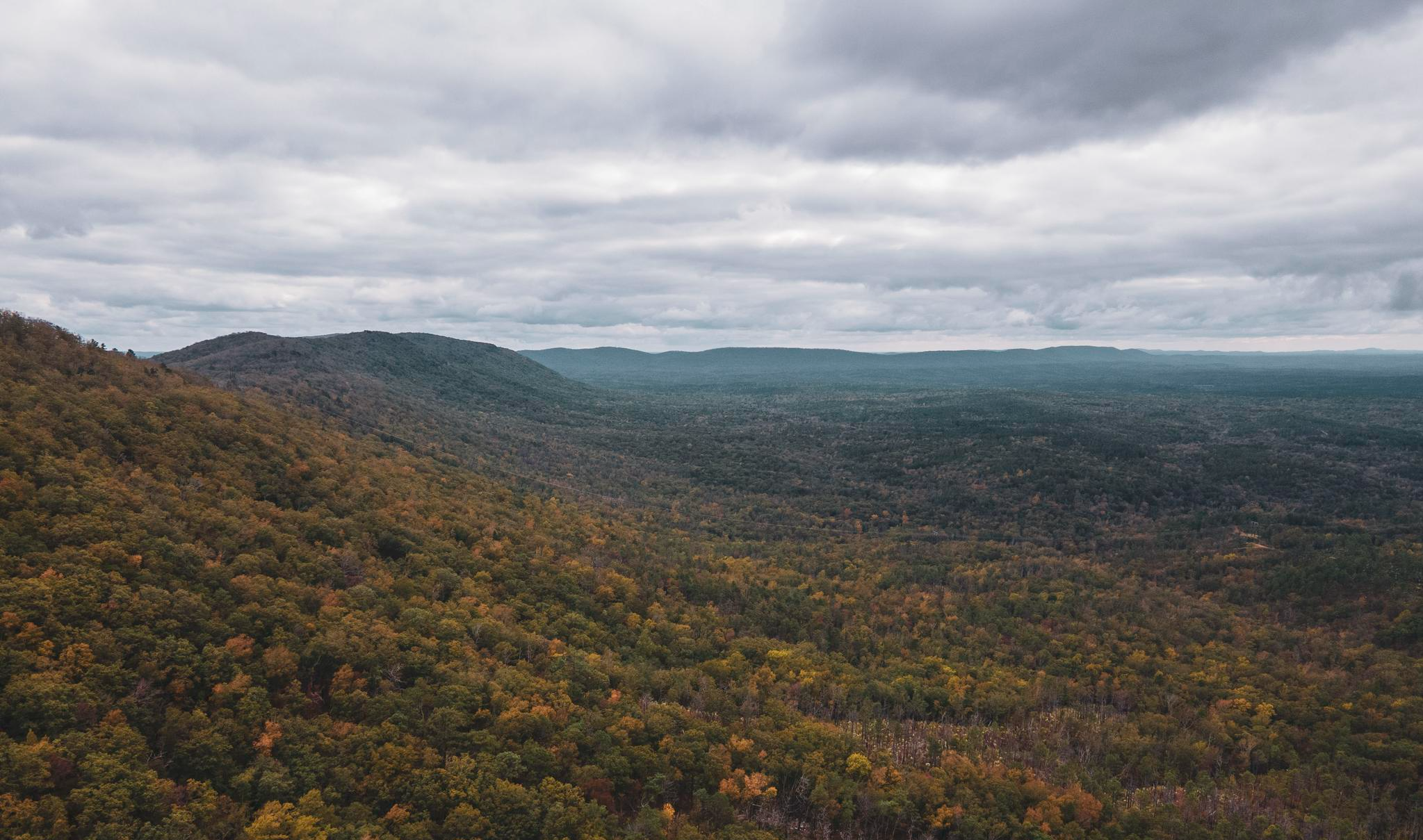
Pinhoti Trail — Alabama & Georgiaの最南端のAppalachias
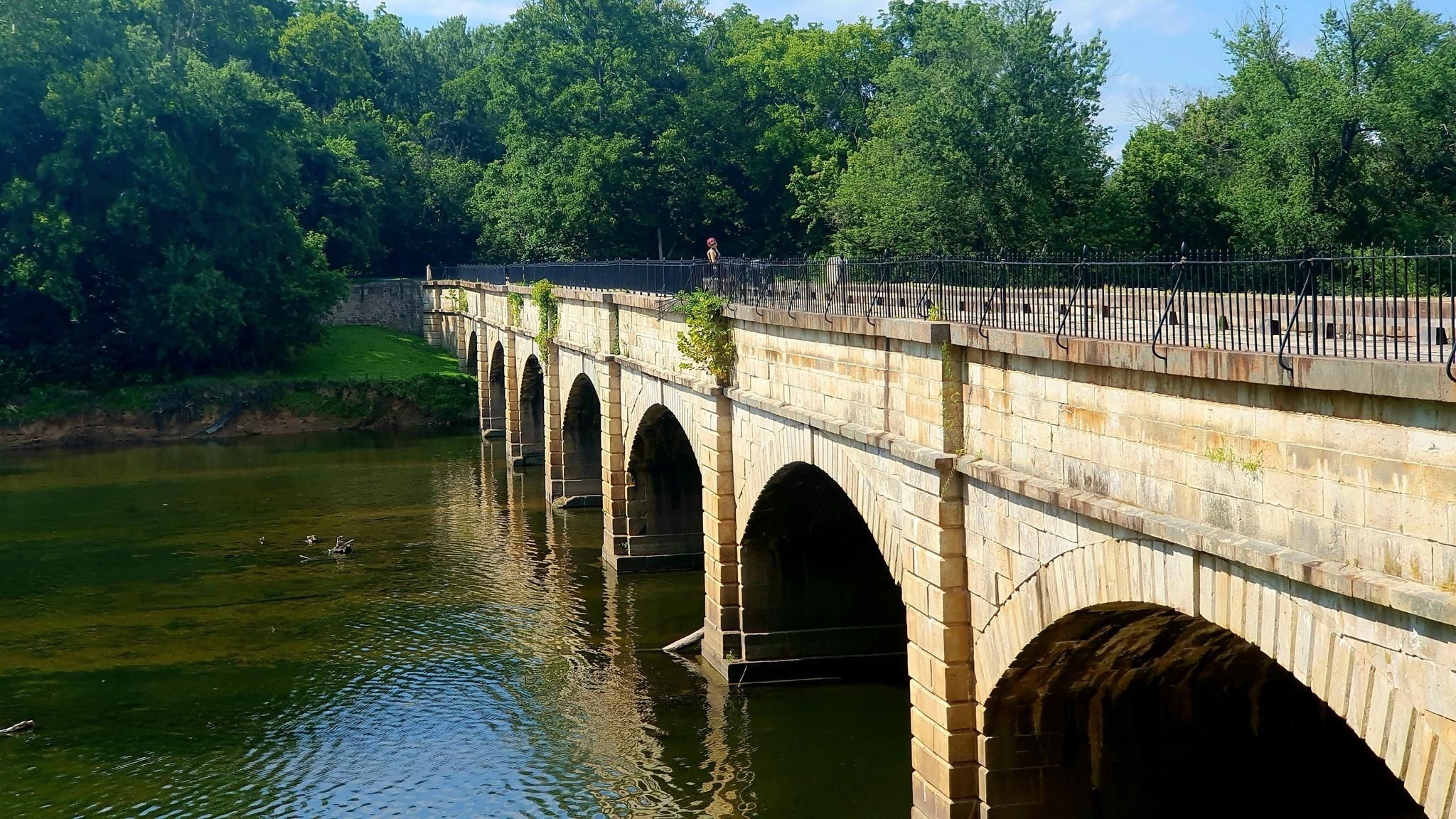
Potomac Heritage National Scenic Trail — 歴史的な回廊を探検
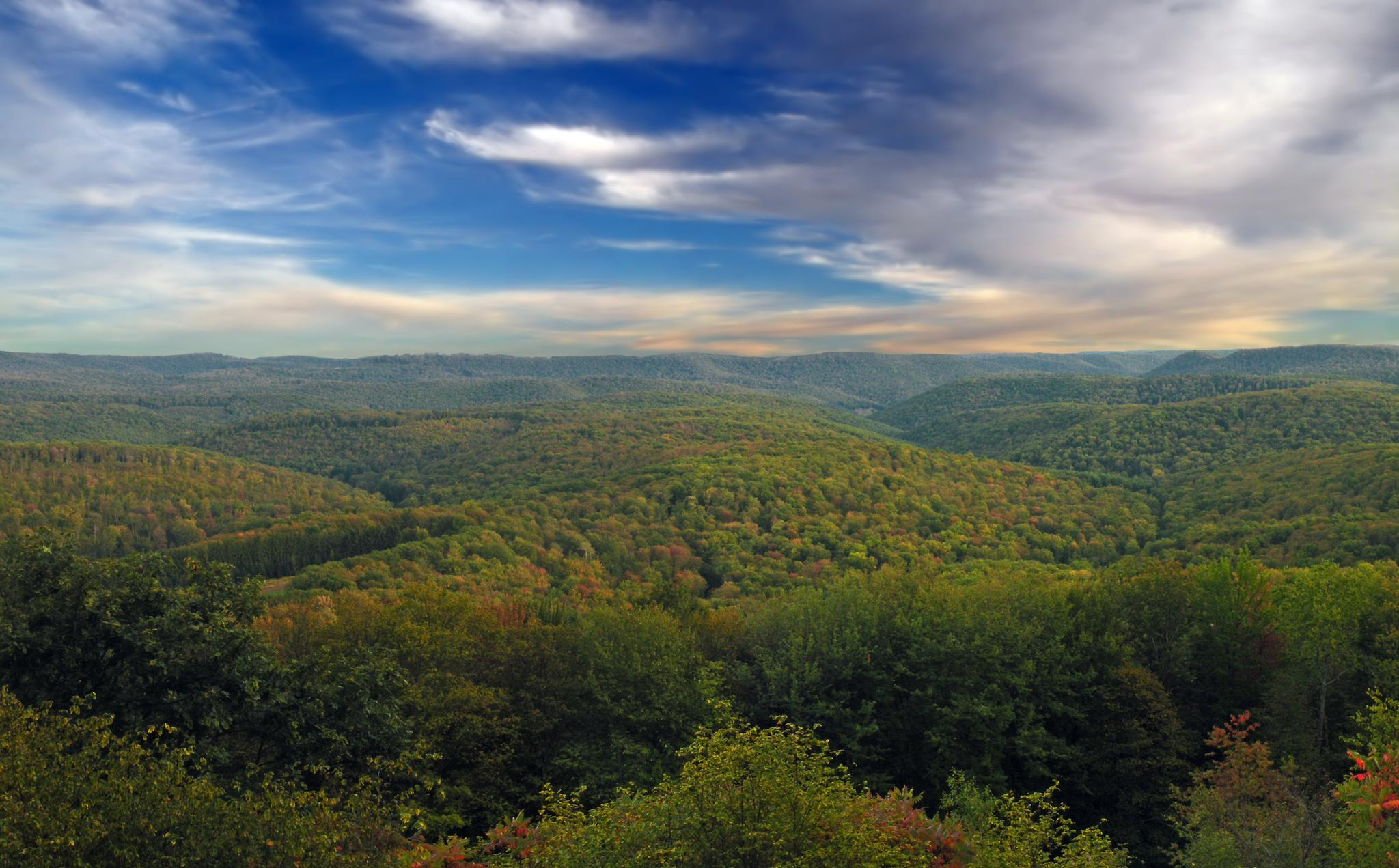
Susquehannock トレイルシステム — ペンシルベニア州最も遠隔地にあるループ
アパラチア山脈でのの他の冒険


コミュニティからのヒント

This is a simple shelter with a door and a roof that will keep you dry on rainy days. You are only 0.4 miles from the Appalachian Trail/Long Trail, and it offers a nice view of Mount Killington.
0
0

This is a great family-friendly spot, and only one mile from the parking lot via trail. A knob of smooth Vermont bedrock rises over Route 4, granting panoramic views south to Mount Killington and the surrounding peaks. Great spot for a picnic!
0
0


The Gatlinburg Trail is an almost 2-mile long trail that runs from Sugarlands Visitor Center to the outskirts of the city of Gatlinburg. It runs through the woods and along Little Pigeon River and gives you great views of the river.
0
0

This waterfall is a site to see, that's for sure. Visited in late April and the trail was busy even with arriving around 9am. Parking lot in this part of the park for this trail was descent sized for the amount of visits it gets. The hike to the most scenic part of the falls was very quick paced as you are going down hill. It was quite lovely to look down at the bottom of the falls as you make your descent. However, because you are hiking through the mountains, some parts require you to have sturdy sure steps and may not be good on weak ankles. Recommend very good ankle support shoes for down hill hiking on this one. The falls can be crossed at the bottom but be careful as the rocks will be slippery. You can also continue on down this trail further past the end of the falls, if you chose to. The ascent back up to the parking lot is moderate, heck, strenuous if you are not used to up hill trekking. It's the least pleasurable thing about this hike.
0
0

This very short section of the 2,200 miles long Appalachian Trail, leads through the southwesternmost section of the White Mountain National Forest. No matter if you're only planning to do a little hike around Hanover or plan on hiking for multiple days, enjoy the tranquil walk through the woods.
0
0

This trailhead serves two popular hikes, Pico Peak and Deer Leap Rock, and gets crowded quickly. Starting early is a good idea if you want to be sure of getting a parking spot.
0
0

In the north is the actual visitor center, about 100m south is a lodge with a provisions and souvenir shop. There are also plenty of benches all around and some barbecue areas.
3
0
よくある質問
アパラチア山脈では、バス停からアクセス可能なハイキングコースはいくつありますか?
アパラチア山脈には、バス停から簡単にアクセスできるハイキングコースが90以上あります。これらのルートは、簡単な散策からより挑戦的な登りまで、さまざまな体験を提供し、あらゆるハイカーに満足いただけるものがあります。
初心者や家族連れでもバスでアクセスしやすいハイキングオプションはありますか?
はい、アパラチア山脈のバスでアクセス可能なトレイルのほぼ半数が「易しい」と評価されており、初心者や家族連れに最適です。特におすすめなのは、この地域の美しさを穏やかに体験できる「Velvet Rocks and Appalachian Trail Loop」です。
バス停を起点・終点とする周回ハイキングコースは見つけられますか?
アパラチア山脈のバスでアクセス可能なルートの多くは周回コースとして設計されており、バス停の近くでハイキングを開始・終了できます。例えば、「Giffords Woods State Park発、Sherburne Pass Trailhead – Deer Leap Overlook ループ」は、中級者向けの素晴らしい周回ルートの例です。
これらのバスでアクセス可能なトレイルでは、どのような自然の特徴が見られますか?
アパラチア山脈は、古く風化した山頂、鬱蒼とした広葉樹林、豊かな水辺の景観で知られています。多くの場合、緑豊かな木々の「グリーン・トンネル」を歩き、無数の小川に出会い、滝を発見するでしょう。また、多くのトレイルは、標高の高い場所からのパノラマビューや「バルコニービュー」へと続いています。
バスでアクセス可能なハイキングルート沿いに滝はありますか?
はい、アパラチア山脈には滝が豊富にあります。ハイキング中には、「Dark Hollow Falls」や「Laurel Falls」のような美しい滝に出会うかもしれません。「Fishers Gap発、Start Lewis Falls Trail – Lewis Falls ループ」は、特に滝を特徴とする中級者向けルートです。
バスでアクセス可能なアパラチア山脈のハイキングコースについて、他のハイカーはどのように評価していますか?
komootコミュニティでは、アパラチア山脈でのハイキング体験は高く評価されており、5,800件以上の評価から平均4.7つ星を獲得しています。ハイカーは、整備された遊歩道、没入感のある森林環境、そして公共交通機関での登山口へのアクセスの便利さを頻繁に称賛しています。
バス停からアクセスできる複数日ハイキングのオプションはありますか?
バスでアクセス可能なルートのほとんどは日帰りハイキングですが、一部のトレイルは、世界で最も長いハイキング専用の遊歩道であるアパラチアン・トレイルの長い区間に接続しています。慎重に計画を立てれば、バスのアクセスポイントを利用して複数日の区間に乗り出すことができ、近くのトレイルタウンでアメニティを見つけることもよくあります。
これらのバスでアクセス可能なトレイルをハイキングするのに最適な時期はいつですか?
アパラチア山脈は、季節ごとに異なる美しさを見せてくれます。春には緑が生い茂り、野花が咲き乱れ、秋には壮大な紅葉が見られます。夏は、木々が密集して「グリーン・トンネル」効果を生み出します。標高の高い場所では天候が急変することがあるため、常に現地の状況を確認してください。
経験豊富なハイカー向けに、バスでアクセスできる挑戦的なハイキングコースはありますか?
はい、経験豊富なハイカーが挑戦を求めている場合、バスでアクセスできる難易度の高いルートがいくつかあります。「Big Meadows Wayside発、Big Rock Falls – Rapidan Camp (Five Tents) ループ」は、17キロメートル以上の距離とかなりの標高差がある、やりがいのあるオプションです。
これらのバスでアクセス可能なハイキングトレイルに犬を連れて行くことはできますか?
アパラチア山脈の多くのトレイルは犬同伴可能ですが、公園や特定のトレイルによって規則が異なります。国立公園や保護区域を通過するルートの場合は、特に犬をリードにつける必要がある場合や、特定の区間へのアクセスが制限されている場合があるため、必ず計画している特定のルートの規則を確認してください。
バスでアクセス可能なトレイルヘッドの近くに町や見どころはありますか?
はい、バスでアクセス可能なトレイルヘッドの多くは、魅力的な町や見どころの近くにあります。例えば、「Gatlinburgからのハイキングループ」は町から直接始まり、ハイキングの前後に地元の施設やアトラクションに簡単にアクセスできます。この地域には、グレート・スモーキー山脈国立公園のようなユニークな生態系もあり、詳細はnps.gov/grsmで確認できます。

komootモバイルアプリでインスピレーションを得よう


さらに探索
他の地域の最高のハイキングを見てみましょう。
