ニューメキシコのおすすめライド
4.7
(128)
3,196
ライダー
221
ライド
このガイドでご紹介するのは、komootがニューメキシコでのロードバイクルートのコレクション全体を評価して選び抜いた、このエリアの人気バイクライドです。あなたに合ったものを見つけるには、以下のルートをクリックして標高データや舗装状態の分析などの細かな情報を把握し、さらにkomootコミュニティのメンバーが投稿した役立つ情報や写真も閲覧しましょう。
最終更新日: 9月 13, 2026
5.0
(1)
110
ライダー
83.2km
03:36
740m
740m
The South Santa Fe half century offers a rewarding road cycling experience through New Mexico's diverse landscapes, blending high desert, the foothills of the Sangre de Cristo Mountains, and woodlands.…
3.8
(5)
30
ライダー
41.1km
01:48
390m
390m
Cycle the moderate 25.6-mile Las Campanas loop in Santa Fe, enjoying high desert scenery and views of Tesuque and Baldy Peaks.

5.0
(2)
24
ライダー
50.9km
02:33
710m
720m
The South Mesa loop is a moderate 31.6-mile road cycling route in Los Alamos, offering scenic views and 2343 feet of elevation gain.
9
ライダー
51.6km
02:46
980m
980m
This difficult 32.1-mile road cycling route through Valles Caldera National Preserve offers challenging climbs and panoramic views.
7
ライダー
125km
06:23
2,130m
2,130m
This difficult 77.5-mile road cycling route from Los Alamos through Valles Caldera offers stunning scenery and 6988 feet of elevation gain.
1
ライダー
121km
05:30
790m
790m
This difficult 75.4-mile road cycling route climbs 2587 feet through the Guadalupe Mountains to the stunning Sitting Bull Falls.
22.8km
01:11
350m
350m
Cycle the moderate Los Alamos loop, a 14.2-mile route in New Mexico with 1150 feet of elevation gain through high desert scenery.
4.9
(8)
165
ライダー
52.8km
02:12
50m
50m
中程度のロードライド. ある程度のフィットネスレベルが必要です。 ツアーの一部に、未舗装のため走行が難しい箇所があるかもしれません。
4.8
(5)
98
ライダー
40.4km
01:43
30m
30m
中程度のロードライド. あらゆるフィットネスレベルに適しています。 ツアーの一部に、未舗装のため走行が難しい箇所があるかもしれません。
80
ライダー
118km
05:45
1,700m
1,700m
難しいロードライド. 標準以上のフィットネスレベルが必要です。 ツアーの一部に、未舗装のため走行が難しい箇所があるかもしれません。
さらに多くのルートや他のユーザーのおすすめ情報を確認できます。
すでにアカウントをお持ちですか?
おすすめのツアーは他のkomootユーザーが実際に経験した何千ものアクティビティに基づいています。
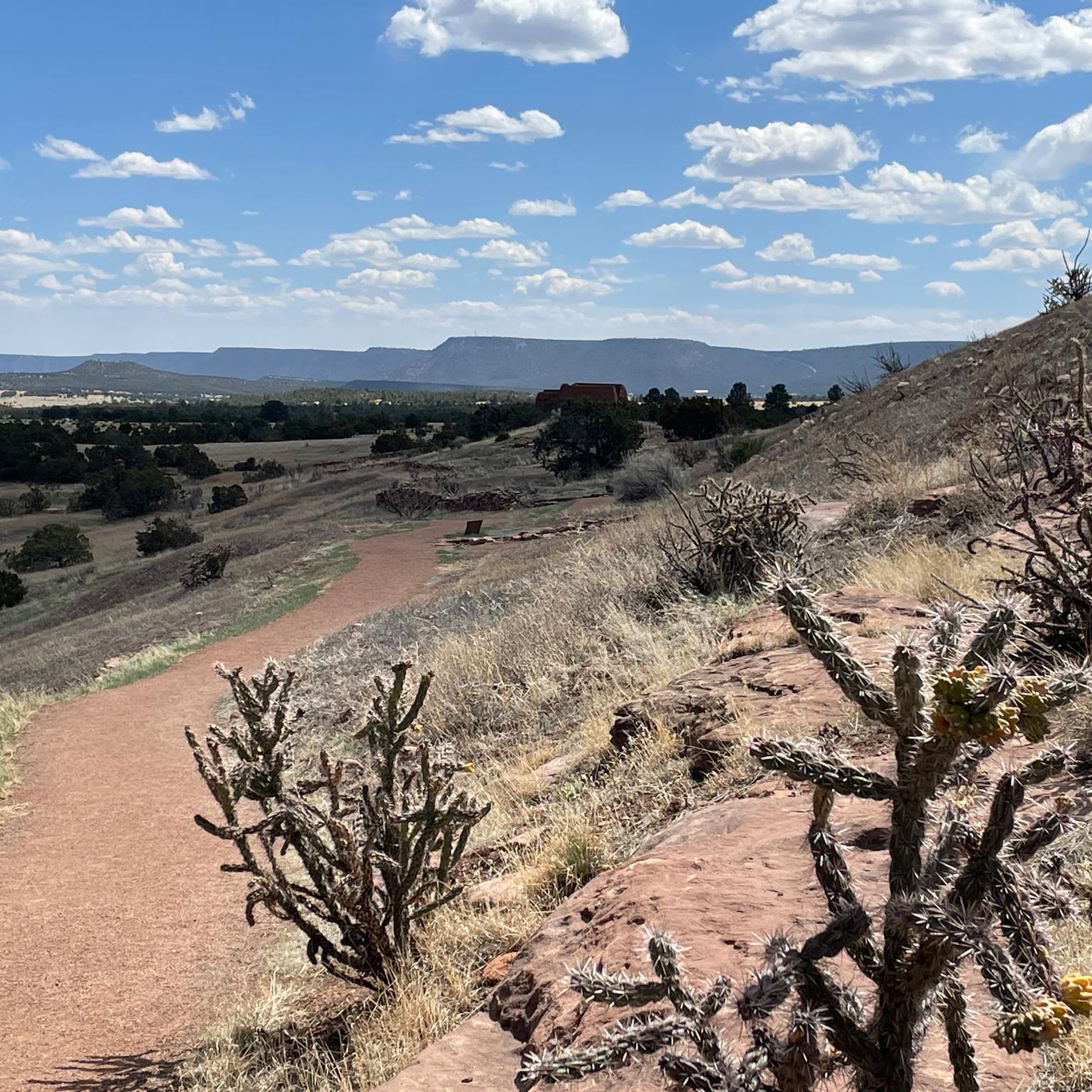
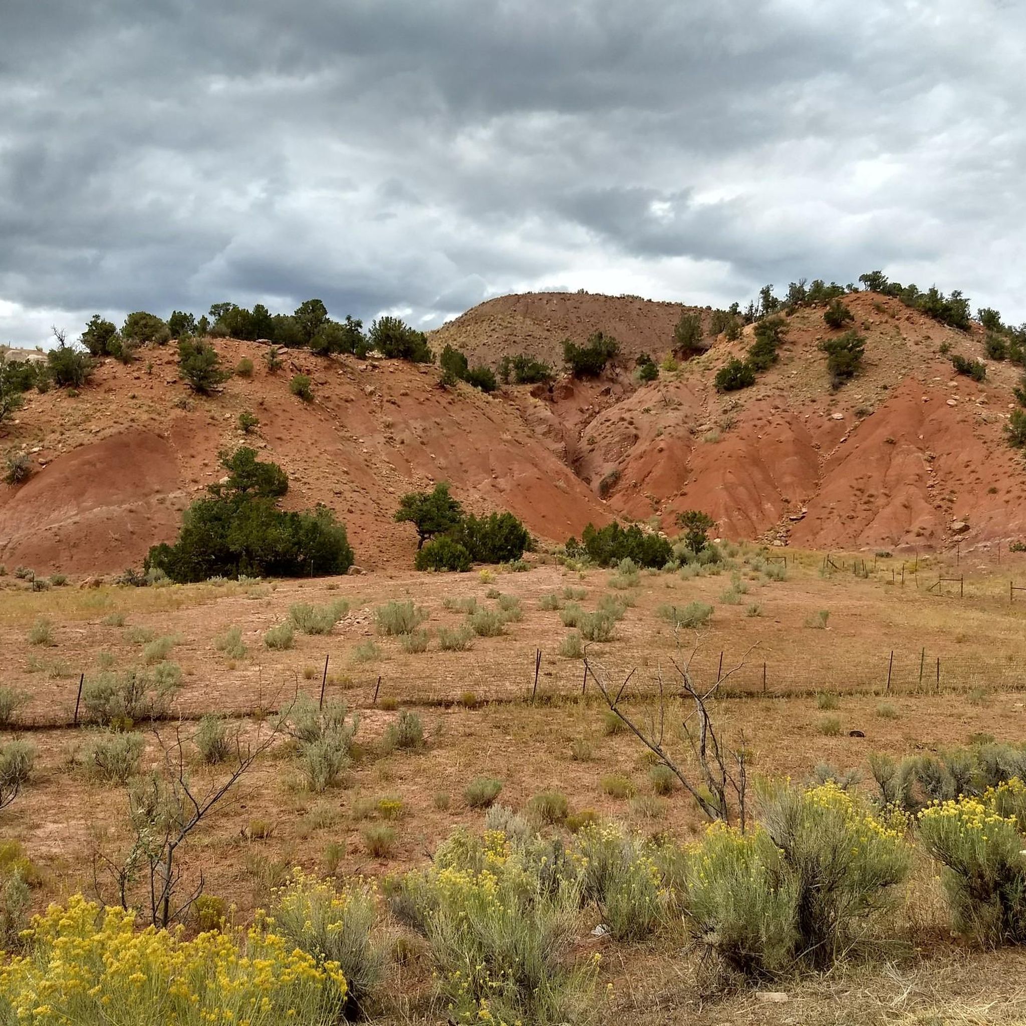
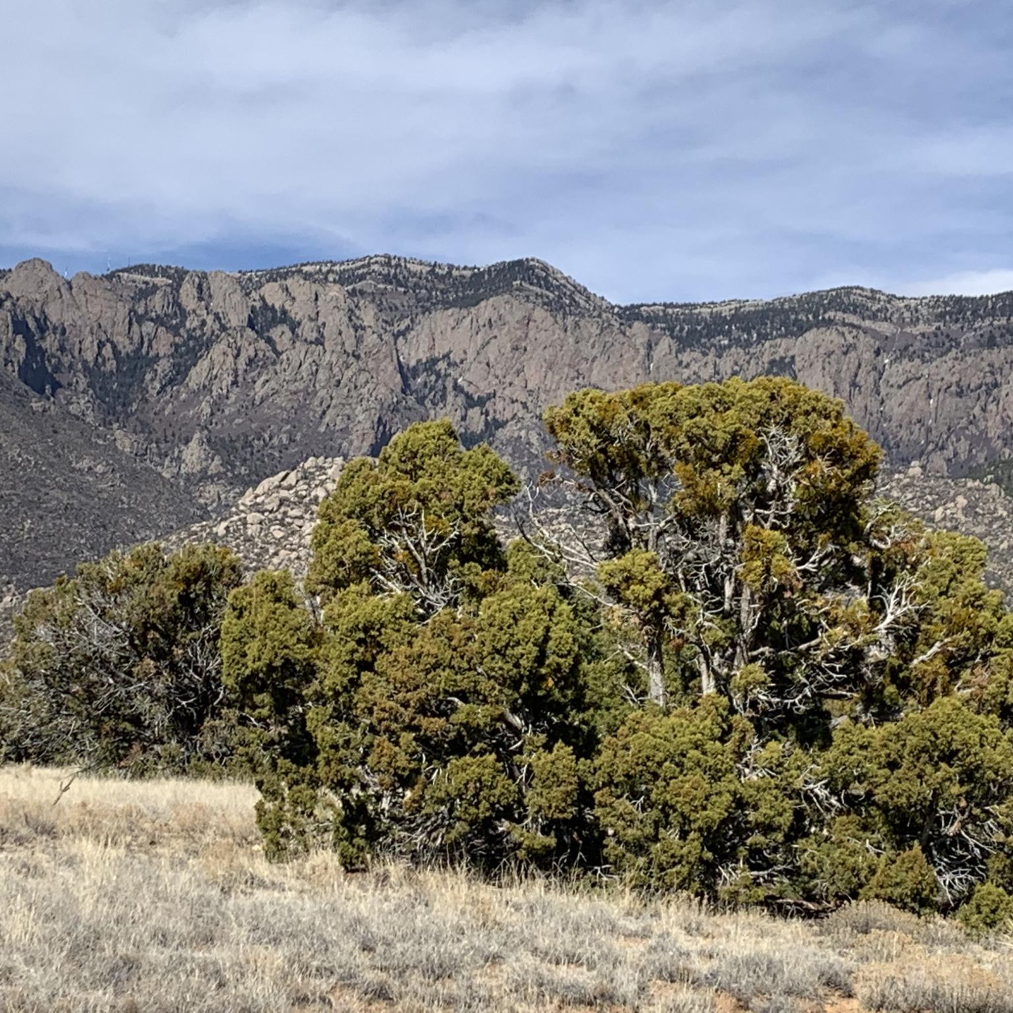
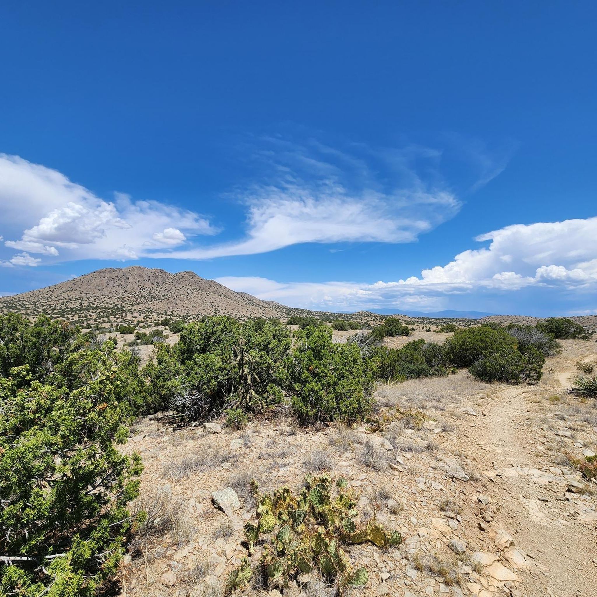
ニューメキシコでのの他の冒険


コミュニティからのヒント

Las Campanas is a community centered around a golf course, but the roads around it have been calling to cyclists since they were built. As such, this is a popular destination for road rides and the views around the loop are great.
0
0

Old Santa Fe is the historic downtown area. It's known for its mix of Naive Pueblo and Spanish Colonial styles of architecture and is an excellent mix of culture, history, shops, and views. It is also listed on the National Register of Historic Places.
0
0
Arroyo De Los Chamisos Trail is a 3-mile paved trail in the Santa Fe urban trail system. The trail runs through a mix of urban and residential spaces, so there are plenty of options for amenities along the path.
0
0

This is the southern terminus of the Santa Fe Rail Trail, just outside the town of Lamy in New Mexico. This 15-mile trail's northern terminus is the city of Sante Fe. The trail actually follows the Atchinson, Topeka, and Santa Fe Railway lines. It is a multi-use, mixed asphalt and dirt trail byway; 3.5 miles of it is paved within the Santa Fe city limits, and the remaining 11.5 miles is dirt.
0
0

I agree with Alex although I would add that because of it's popularity, road bike riders who enjoy riding at a faster pace, get out there early in the morning. By 10am there are a lot of people on a 6ft wide trail and some don't keep an eye out for cyclist. I find Fri and Sun mornings most agreeable for steady cruising
0
0

The Paseo del Bosque Trail is Albuquerque's popular 16-mile multi-use trail, running through the Rio Grande's cottonwood bosque from the north to the south of the metro area. The trail is paved, uninterrupted by roads, and features parking and access points in a few locations. Along the way, visitors can enjoy public art at Tingley Beach, Central Avenue, and other locations, as well as the Rio Grande Nature Center and the National Hispanic Cultural Center. The trail is ideal for biking, walking, and birdwatching, offering a great escape with restrooms and picnic areas along the trail.
1
0

From this spot you get a great view of the Rio Grande. This viewpoint is just off the Paso del Bosque Trail at Tingley Beach.
0
0

There is parking available at the Albuquerque Open Spaces parking lot off of Alameda or park at Bachechi Nature Center's lot off of Rio Grande Boulevard.
0
0

komootモバイルアプリでインスピレーションを得よう


探していたものは見つかりませんでしたか?
ニューメキシコの下にある他のロードサイクリングルートをチェックして、目的地で完璧なルートを見つけましょう。
さらに探索
他の地域の最高のロードサイクリングルートを見てみましょう。
