オハイオのおすすめライド
4.7
(565)
14,338
ライダー
843
ライド
このガイドでご紹介するのは、komootがオハイオでのロードバイクルートのコレクション全体を評価して選び抜いた、このエリアの人気バイクライドです。あなたに合ったものを見つけるには、以下のルートをクリックして標高データや舗装状態の分析などの細かな情報を把握し、さらにkomootコミュニティのメンバーが投稿した役立つ情報や写真も閲覧しましょう。
最終更新日: 9月 27, 2026
75
ライダー
122km
05:42
530m
530m
難しいロードライド. 標準以上のフィットネスレベルが必要です。 全般的に舗装状態が良好で走行しやすい道です。
5.0
(1)
75
ライダー
82.3km
03:46
370m
370m
中程度のロードライド. ある程度のフィットネスレベルが必要です。 全般的に舗装状態が良好で走行しやすい道です。

4.0
(2)
37
ライダー
51.1km
02:42
430m
430m
難しいロードライド. ある程度のフィットネスレベルが必要です。 ツアーの一部で自転車を押して歩く必要があるかもしれません。
5.0
(1)
39
ライダー
45.9km
01:58
160m
160m
初級者向けロードバイクライド. あらゆるフィットネスレベルに適しています。 全般的に舗装状態が良好で走行しやすい道です。
14
ライダー
83.3km
03:41
550m
550m
中程度のロードライド. ある程度のフィットネスレベルが必要です。 全般的に舗装状態が良好で走行しやすい道です。
12
ライダー
50.4km
02:10
130m
130m
中程度のロードライド. ある程度のフィットネスレベルが必要です。 全般的に舗装状態が良好で走行しやすい道です。
7
ライダー
40.6km
02:33
250m
250m
中程度のロードライド. ある程度のフィットネスレベルが必要です。 全般的に舗装状態が良好で走行しやすい道です。
3
ライダー
60.9km
02:30
260m
260m
中程度のロードライド. ある程度のフィットネスレベルが必要です。 全般的に舗装状態が良好で走行しやすい道です。
3
ライダー
37.1km
01:35
190m
190m
難しいロードライド. あらゆるフィットネスレベルに適しています。 ツアーの一部で自転車を押して歩く必要があるかもしれません。
48.2km
02:04
370m
370m
中程度のロードライド. ある程度のフィットネスレベルが必要です。 全般的に舗装状態が良好で走行しやすい道です。
さらに多くのルートや他のユーザーのおすすめ情報を確認できます。
すでにアカウントをお持ちですか?
おすすめのツアーは他のkomootユーザーが実際に経験した何千ものアクティビティに基づいています。
オハイオでのの他の冒険


コミュニティからのヒント

This park derives its name from the confluence where Alum, Big Walnut, and Blacklick creeks come together. It comprises five areas with separate entrances, all interconnected, offering a variety of routes to explore.
0
0
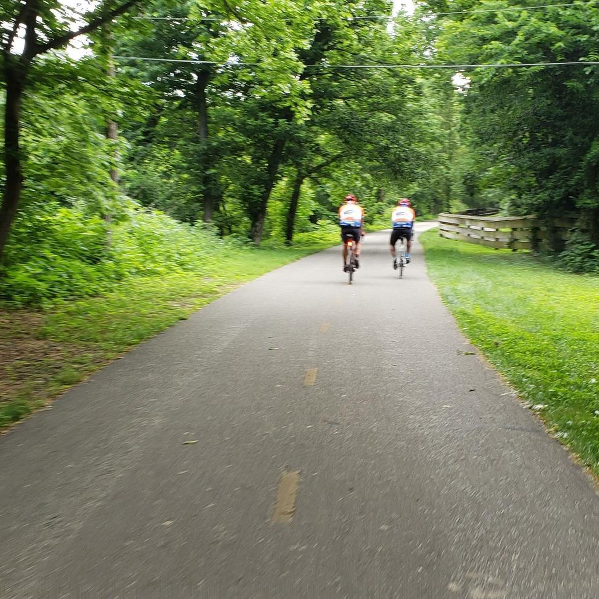
Blacklick Creek Trail is a 26-mile paved path that winds through parks, forests, and suburban areas. It offers smooth surfaces ideal and connects to other major trails like the Alum Creek Trail, making it perfect for extended rides.
0
0
Sunbury is a charming place to pass by. The town features a historic town square, local dining options, and places to rest. It’s a great spot to refuel and explore during your ride.
0
0
The Genoa Trail is a 4-mile smooth, paved path that runs straight through the trees, making it ideal for road and race bikes. It connects Genoa Township to Hoover Reservoir.
0
0

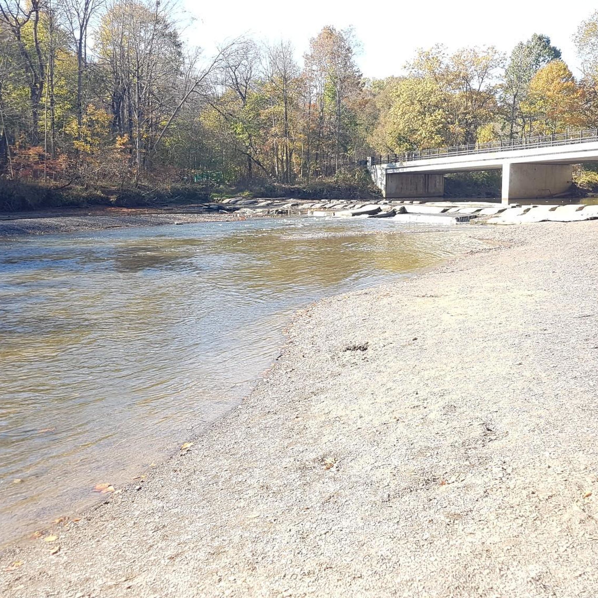
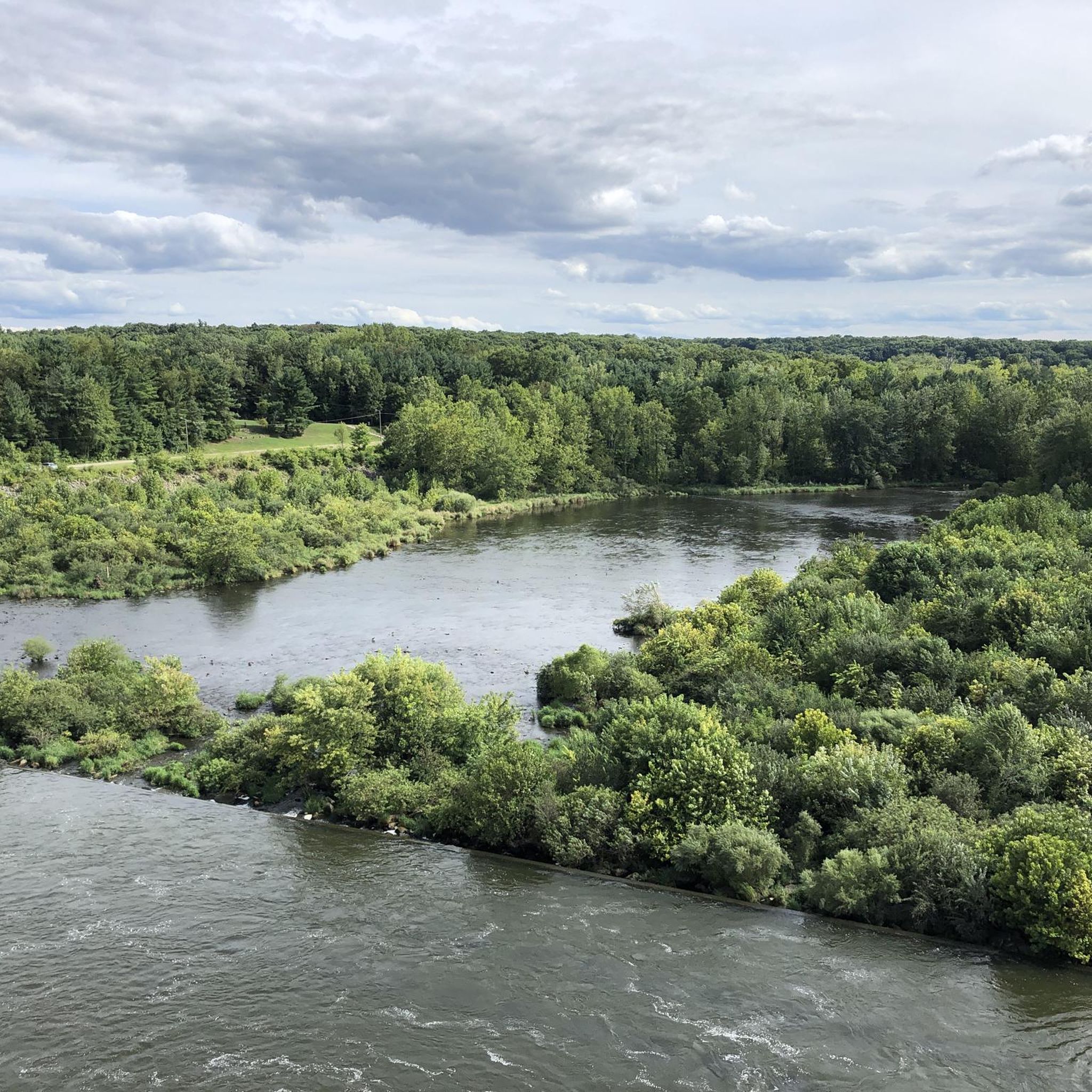
Here, you'll find a path along Big Walnut Creek, offering stunning views of the creek, the impressive Hoover Dam, and the reservoir as you make your way along the trail.
0
0

Lower Shaker Lake features a scenic 0.44-mile, 10-foot wide asphalt trail between Lower Lake and South Park Boulevard in Shaker Heights. The park, with roots tracing back to the Shakers (1822-1889), includes ravines, lakes, woods, and greenspace. The trail connects to the 6-mile Lake-to-Lakes Trail, enhancing regional recreation and providing a safe, off-road biking route linking North Woodland to North Park Boulevard.
0
0
Euclid Creek Reservation, named after the creek that flows through it, boasts wooded hillsides home to rare rock chestnut oaks. The southern part of the reservation is notable for the remnants of the ghost town of Bluestone, where quarrying of the blue-gray siltstone thrived in the late 1800s and early 1900s. The Quarry Picnic Area offers views of the remaining bluestone. Euclid Beach Park, once an amusement park, now features a 650-foot beach with picnic spots, an observation pier, and a pavilion.
0
0
Enjoy the scenic rail bridge spanning the East Branch of the Rock River. The Rocky River, recognized by Field & Stream as a premier steelhead trout river, is the highlight of the Rocky River Reservation. This picturesque spot offers a peaceful setting and a prime location for fishing enthusiasts.
0
0

komootモバイルアプリでインスピレーションを得よう


探していたものは見つかりませんでしたか?
オハイオの下にある他のロードサイクリングルートをチェックして、目的地で完璧なルートを見つけましょう。
さらに探索
他の地域の最高のロードサイクリングルートを見てみましょう。
