20의 시타르 겔렌가지 명소 & 주요 장소
시타르 겔렌에는 둘러볼 만한 장소가 많답니다. 하이킹 또는 사이클링을 좋아한다면 시타르 겔렌에 숨겨진 20
가지 보석을 만날 수 있을 거예요. 이 지역의 주요 명소를 살펴보면서 다음 모험을 계획해보세요.
마지막 업데이트: 10월 9, 2026
마스강 제방 자전거길
하이라이트 (구간) • 자전거 도로
번역자 Google •
팁에 의해

Roode Beek 연못과 모래사장
하이라이트 • 호수
번역자 Google •
팁에 의해

이런 장소를 발견하려면 지금 가입하세요
최고의 싱글 트랙, 봉우리 및 다양한 흥미로운 야외 장소에 대한 추천을 받아보세요.
게울을 따라 펼쳐진 마르 절벽
하이라이트 • 협곡
번역자 Google •
팁에 의해

Connecterra, 호헤 켐펜 국립공원
하이라이트 • 기념물
번역문 보기
팁에 의해

브룬서머하이데 자연보호구역
하이라이트 • 자연 기념물
번역자 Google •
팁에 의해

무료로 가입하여 시타르 겔렌 주변의 더 많은 명소를 발견하세요.
이미 komoot 계정이 있나요?
오늘 무료 계정으로 시작하세요
다음 모험이 기다리고 있어요.
시타르 겔렌 주변 인기 장소
's-Hertogenbosch 에서 Maastricht (그리고 더 멀리) – 순례자의 길 제2부
독일에서 네덜란드로 자전거 타기 - 2국가 경로
The best of South Limburg by bike
Ontdek de riviernatuur – 6 rondwandelingen in RivierPark Maasvallei
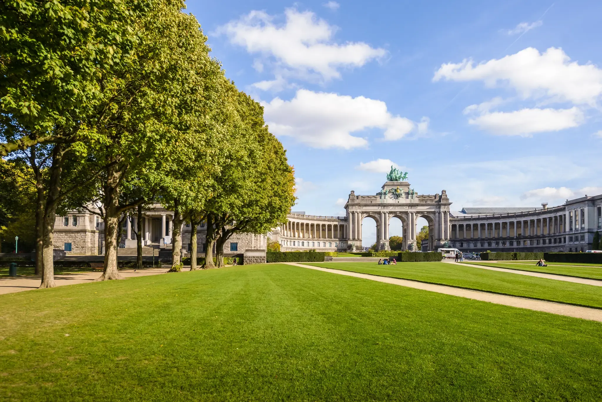
콜롬에서 브뤼셀로 자전거 타기 세 개 나라 통해
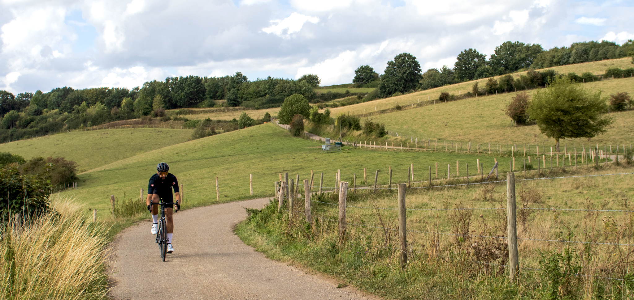
Cross-border cycling in South Limburg – the alternative routes
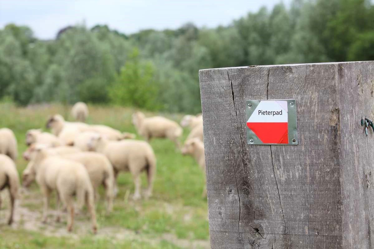
북해도 성 보르덴 성에서 산텉테르베르크까지 - 피테르파트 코스 2부
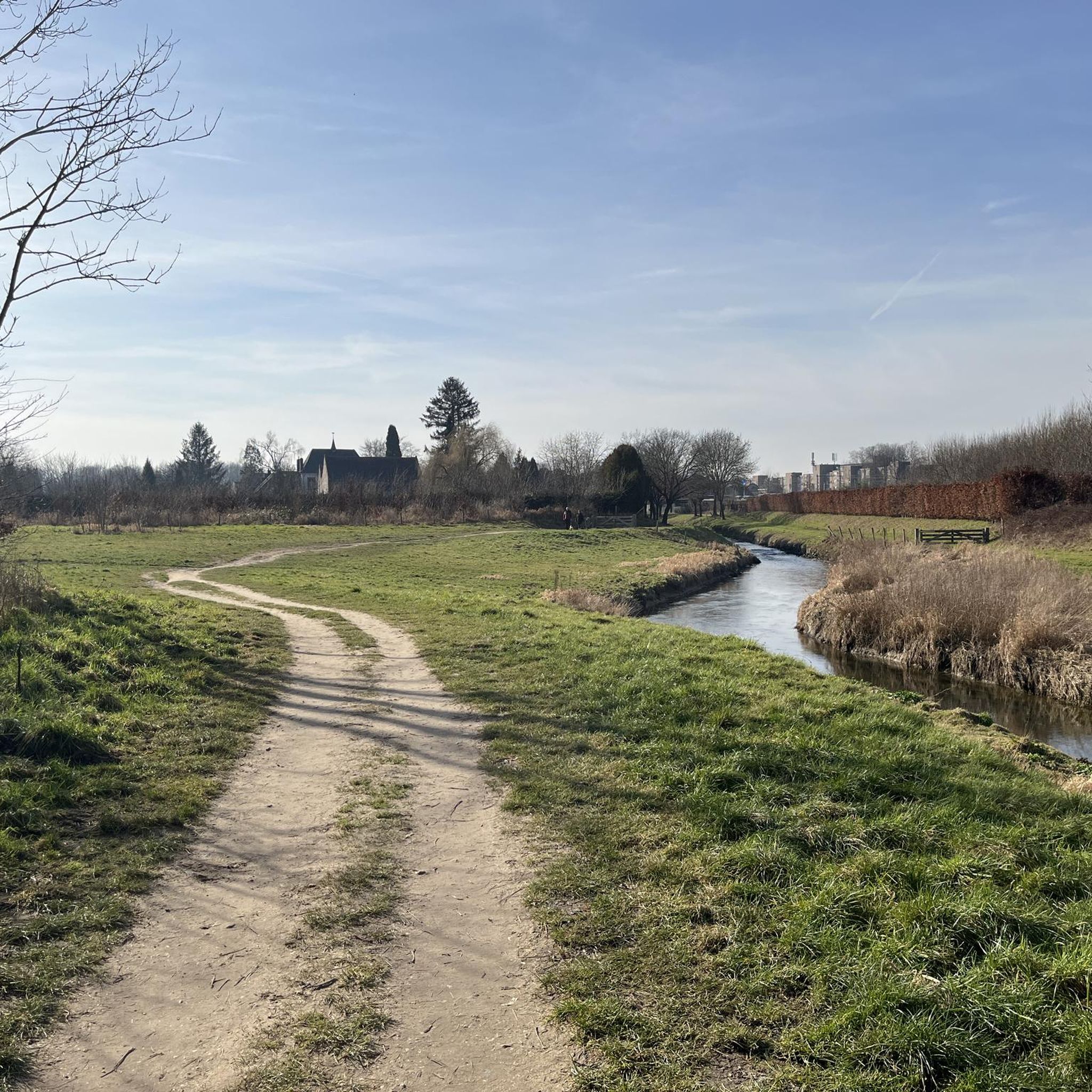
시타르 겔렌 하이킹
시타르 겔렌 로드 사이클링 경로
시타르 겔렌 MTB 트레일


커뮤니티 팁

Connecterra는 Hoge Kempen 국립공원으로 가는 주요 관문입니다. 이 독특한 지역은 Dilsen-Stokkem과 접해 있는 Eisden의 이전 탄광 부지에 위치해 있습니다. 25년 전에는 탄광이 가동되었지만, 지금은 진정한 자연의 낙원이 되었습니다. 자연과 문화유산을 모두 존중하며 향후 몇 년간 이 지역을 위한 큰 계획들이 진행 중입니다. 하이킹 지역이 개발되었으며, 이 루트들은 산과 호수의 숨 막히는 풍경과 함께 플랑드르 지역에서 가장 아름다운 파노라마를 제공합니다. 총 5개의 루트가 이 지역을 안내합니다. 하이킹 지역은 'Mechelse Heide'와 'Station As' 하이킹 트레일과 연결됩니다. 새로운 방문자 센터에서는 국립공원에 대한 정보를 얻고 티룸에서 음료를 마시며 휴식을 취할 수 있습니다. 야외에는 아이들이 놀이터에서 즐거운 시간을 보낼 수 있습니다. 나선형 타워는 1층까지 접근 가능하며 Connecterra가 제공하는 것을 엿볼 수 있습니다.
5
0

The coal mining past lives on...
10
2

Along the rippling Geul River, an impressive marlstone wall rises, a silent witness to Limburg's underground landscape. These calcareous rocks were used for centuries for construction and crafts and now offer a fascinating sight for hikers and nature lovers. The wall forms a natural boundary along the water and, in some places, harbors small caves and niches where flora and fauna have found a home. The contrast of the white marl against the green foliage and the glistening water of the Geul makes this a particularly photogenic and tranquil spot during your walk.
0
0

Beautiful part of the walk along the Geul
0
0

The two winding towers commemorate the history of coal mining. In less than a decade, the history of coal mining in the Hoge Kempen region drastically changed the landscape. The last coal mine (Eisden) closed in 1901. In those 1989 years, the landscape transformed from a "rural" landscape of mainly heathland, moors, and dunes to an "industrial" landscape with winding towers, slag heaps, pine forests for timber harvesting, and quarries for raw materials.
5
1

When the path that has been running between slopes and sloping forest on one side and the Geul on the other side suddenly starts to rise a bit, you know what is coming: part of the marl crops out and offers you a glimpse of what you can discover if you take one of the paths away from the Geul: quarries and marl.
6
0
The western headframe of the former Eisden mine was converted into the Visitor Center of the Hoge Kempen National Park. Those who choose Terhills as a base for exploring the National Park will be guided through the headframe, with a cafeteria, shop and information center on the ground floor. The existing wooden reception building has been preserved but has a different function. https://www.nationaalparkhogekempen.be/nl/schachtbok
12
2
시타르 겔렌 주변에서 가장 인기 있는 명소


더 살펴보기
찾고 있는 하이라이트를 아직 못 찾으셨나요? 다른 지역의 주요 명소 가이드를 확인해보세요:
