20의 네덜란드가지 명소 & 주요 장소
네덜란드에는 둘러볼 만한 장소가 많답니다. 하이킹 또는 사이클링을 좋아한다면 네덜란드에 숨겨진 20
가지 보석을 만날 수 있을 거예요. 이 지역의 주요 명소를 살펴보면서 다음 모험을 계획해보세요.
마지막 업데이트: 9월 12, 2026
베에르의 역사 중심지
하이라이트 • 역사적 장소
번역자 Google •
팁에 의해

De Manteling van Walcheren의 숲길
하이라이트 (구간) • 숲
It is completely away from the main roads, from Domburg towards Vrouwenpolder.
번역자 Google •
팁에 의해

이런 장소를 발견하려면 지금 가입하세요
최고의 싱글 트랙, 봉우리 및 다양한 흥미로운 야외 장소에 대한 추천을 받아보세요.
Veerse Gatdam에서 바라본 북해와 Veerse Meer
하이라이트 • 전망대
번역자 Google •
팁에 의해
스코롤스 사구(모래언덕)
하이라이트 • 자연 기념물
번역자 Google •
팁에 의해

등대 't Lage Licht (Noorderhoofd)
하이라이트 • 기념물
번역자 Google •
팁에 의해

텍셀 듄을 지나는 자전거 도로
하이라이트 (구간) • 자전거 도로
번역자 Google •
팁에 의해

Nieuwe Sluis 등대
하이라이트 • 기념물
번역문 보기
팁에 의해

스호를스 뒤넨 자연보호구역
하이라이트 • 자연 기념물
번역자 Google •
팁에 의해
Oosterscheldekering 방조제
하이라이트 • 기념물
번역자 Google •
팁에 의해

무료로 가입하여 네덜란드의 더 많은 명소를 발견하세요.
이미 komoot 계정이 있나요?
오늘 무료 계정으로 시작하세요
다음 모험이 기다리고 있어요.
네덜란드 주변 인기 장소

어른들을 위한 취침 전 모험 이야기
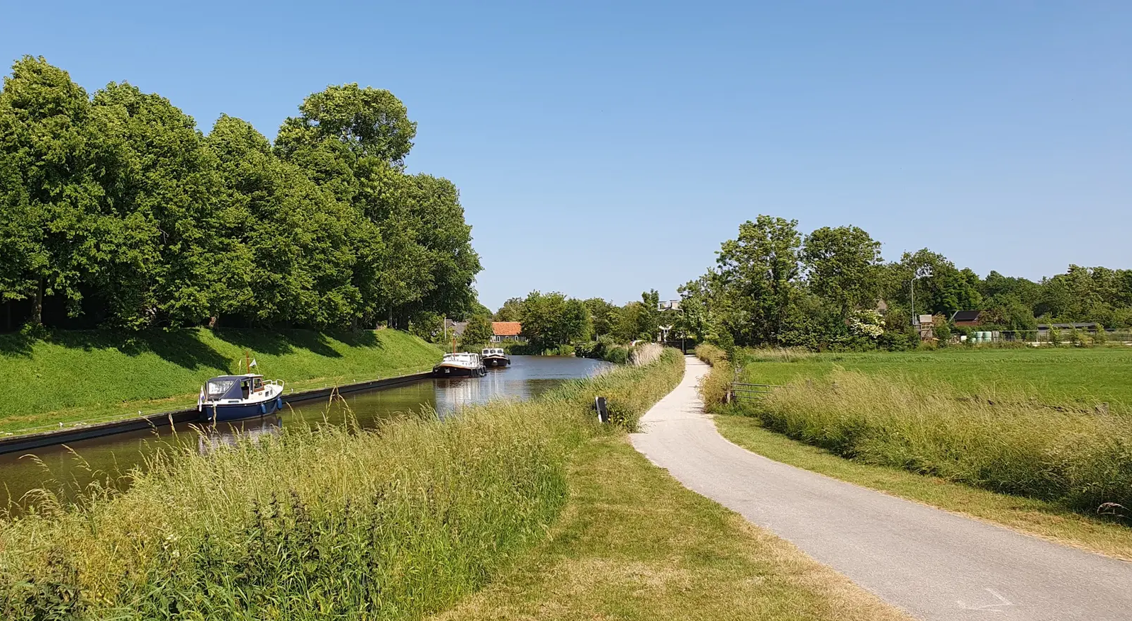
Het Elfstedenpad – 폴더, 테르펜 및 11개 프리슬란트 도시를 따라

플랑드르에서 아르덴까지 — 벨기에 GR 5
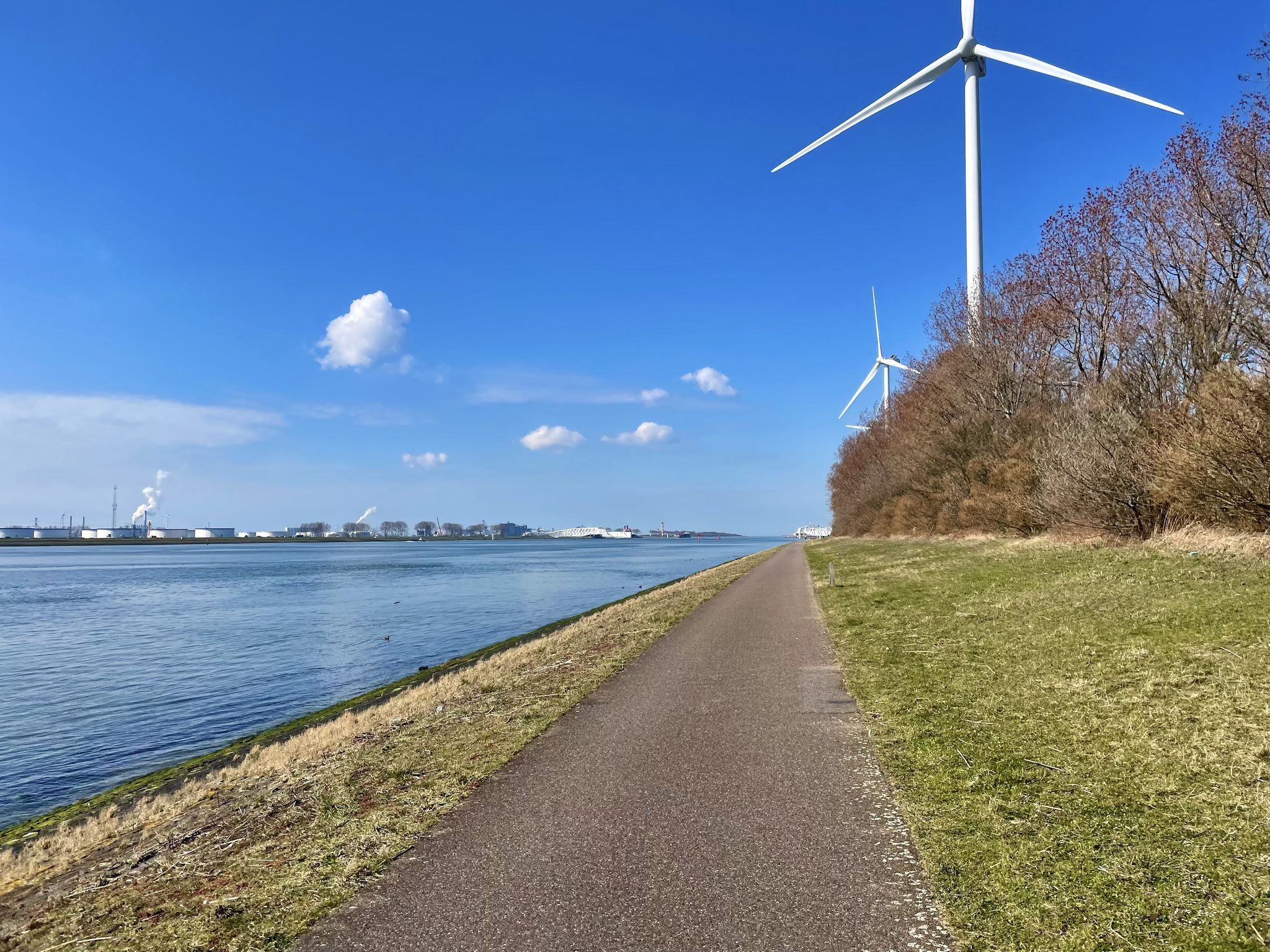
뫼즈 자전거 루트 - 언덕에서 항구까지 뫼즈 강을 따라 걷기
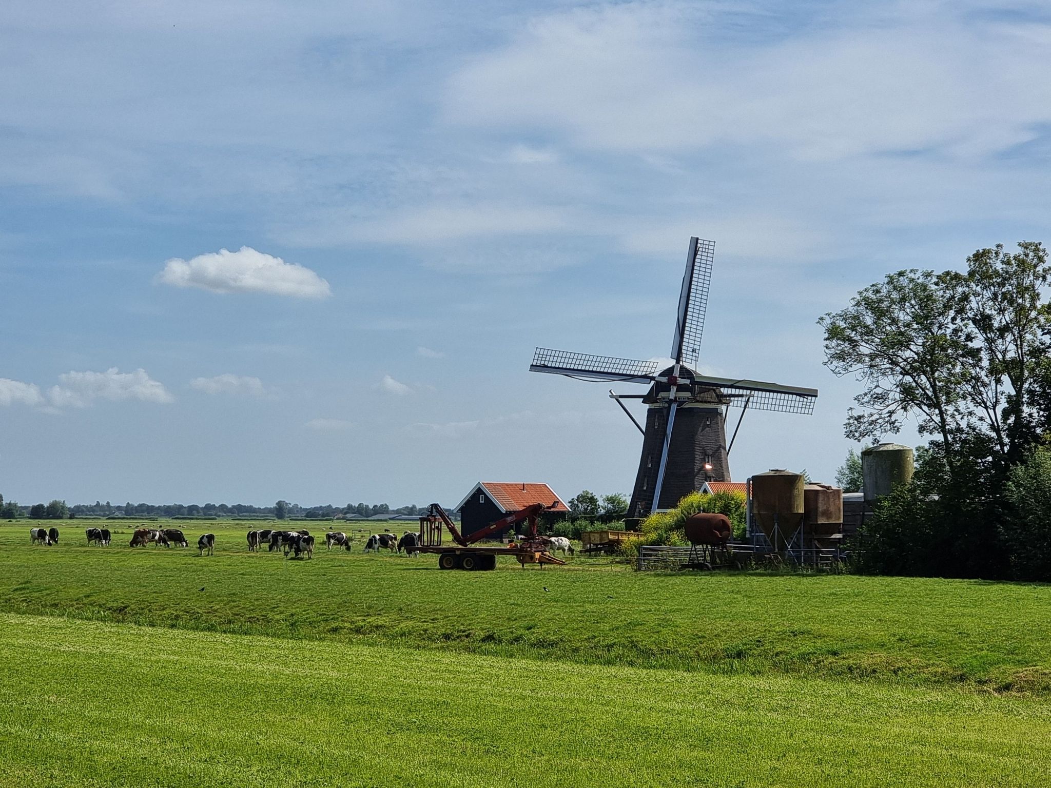
순례자 트레일(LAW 7-1) - 목가적인 마을과 광활한 숲을 지나기
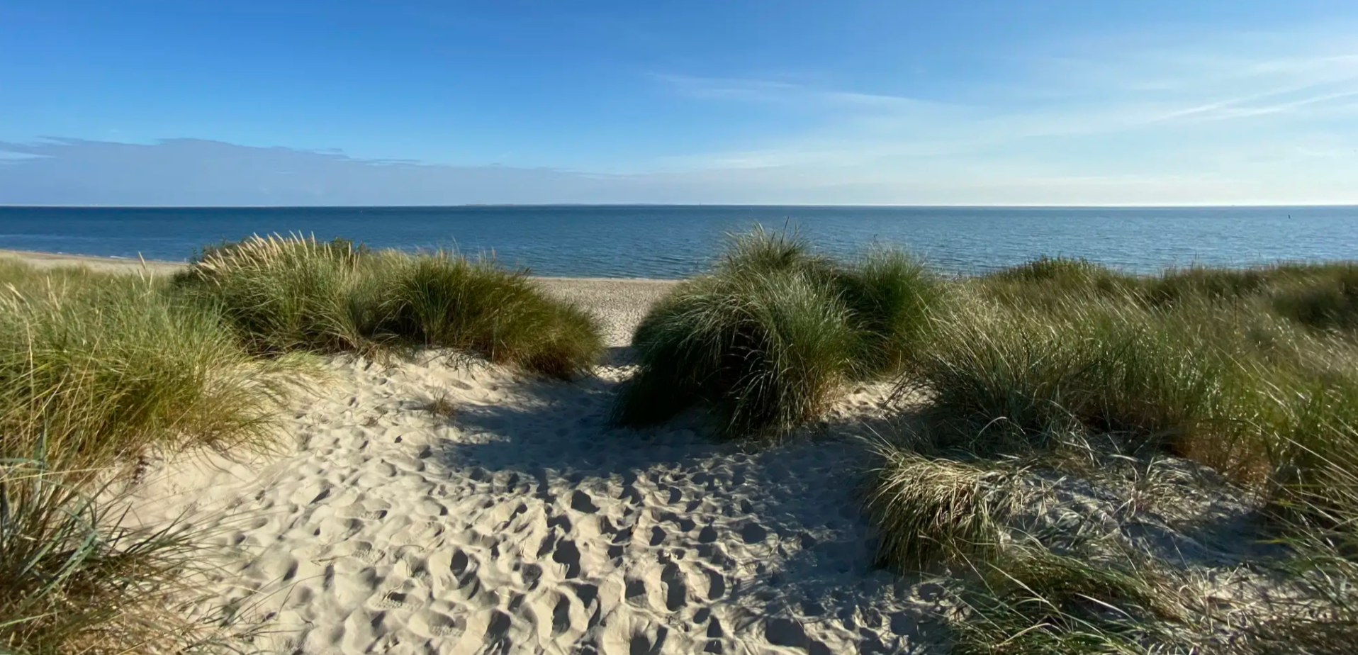
지역 산책로 와덴워킹(SP 04) - 와덴 제도 횡단 걷기
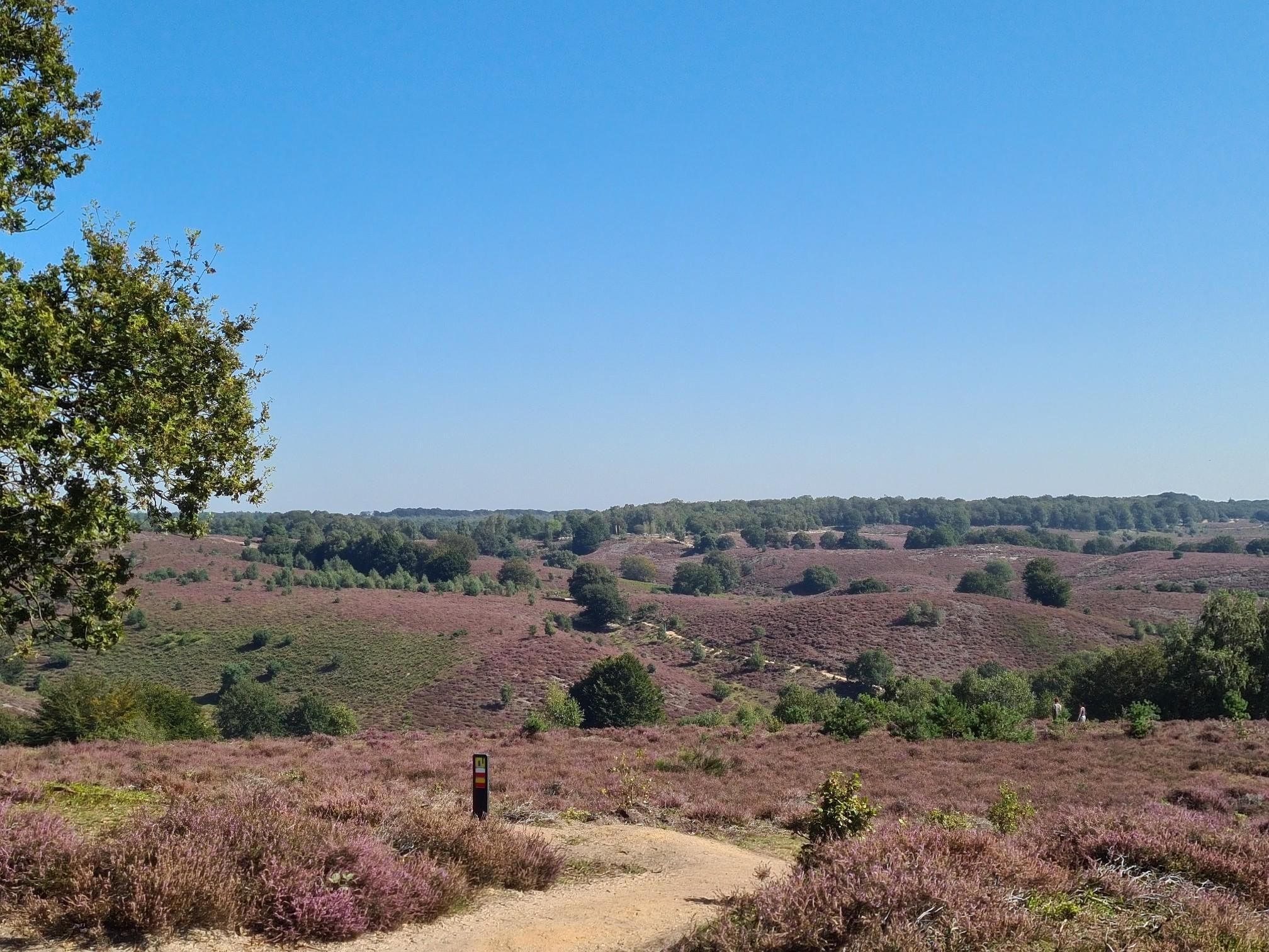
21일 동안 보호받는 자연을 떠돌며 – Veluwe Zwerfpad
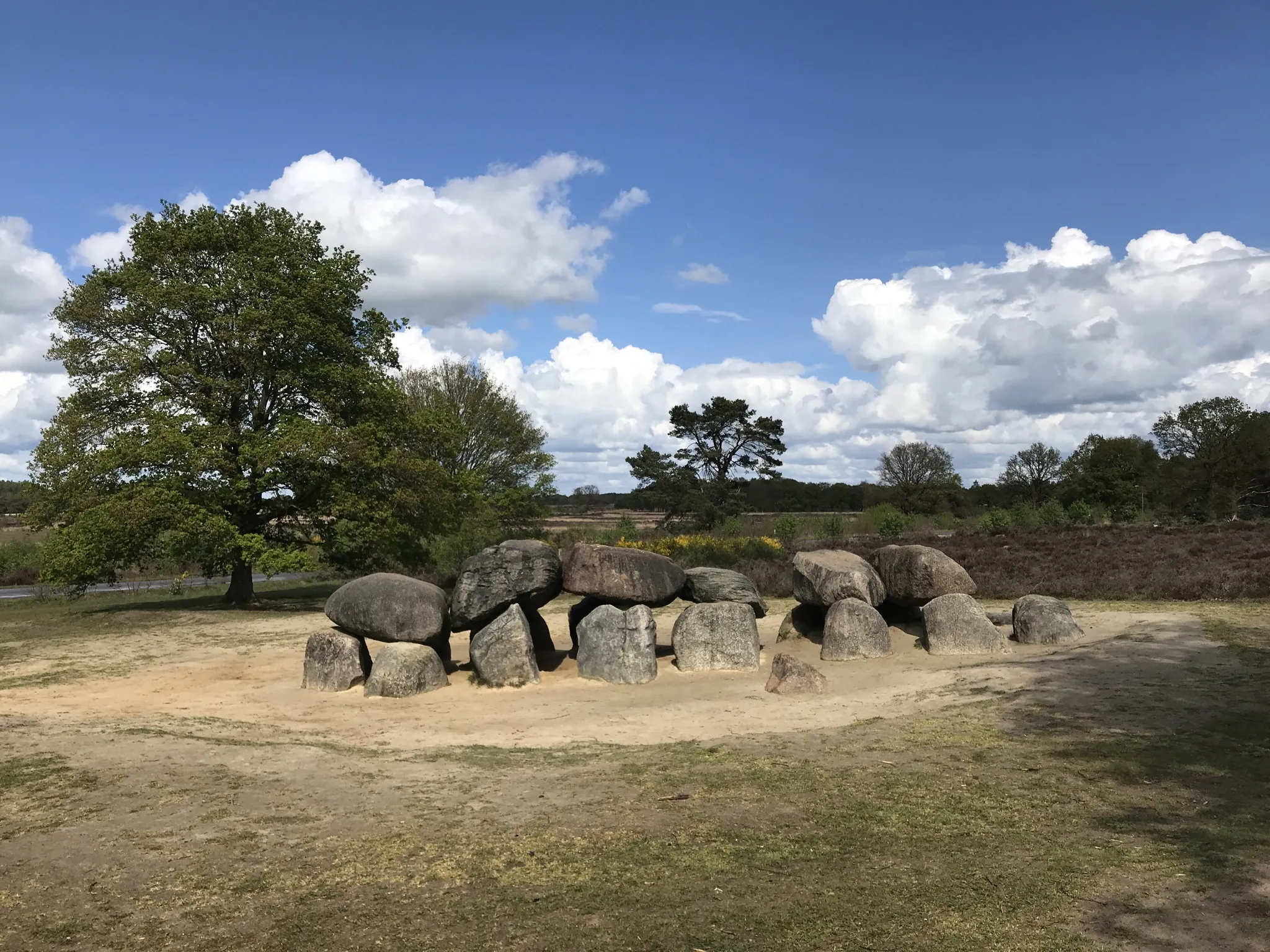
렌트데 일주일 여행 - 6일 동안 원시 지방을 돌아다니다
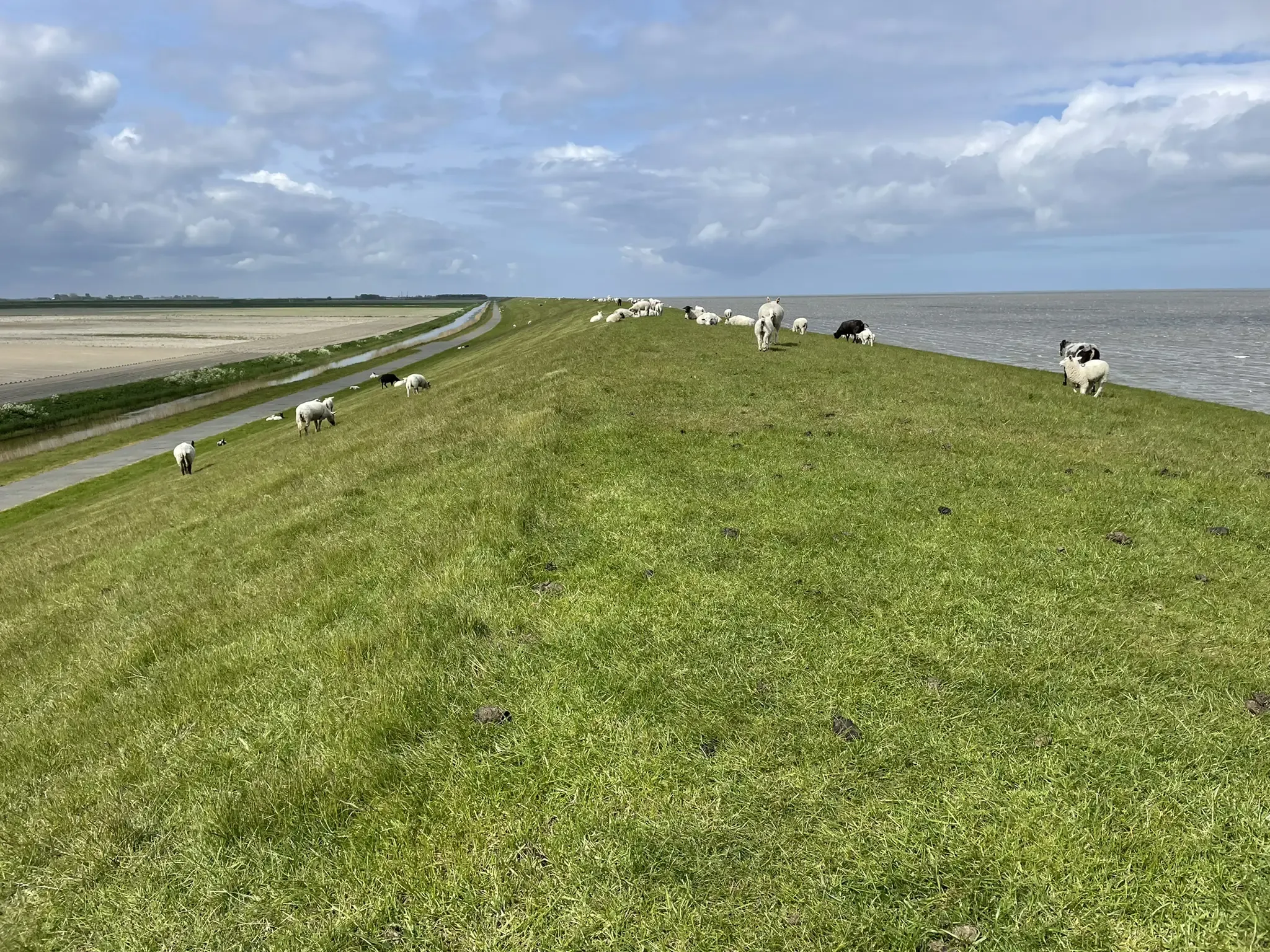
그로닝엔 일주 - 350 킬로미터 주 돌기
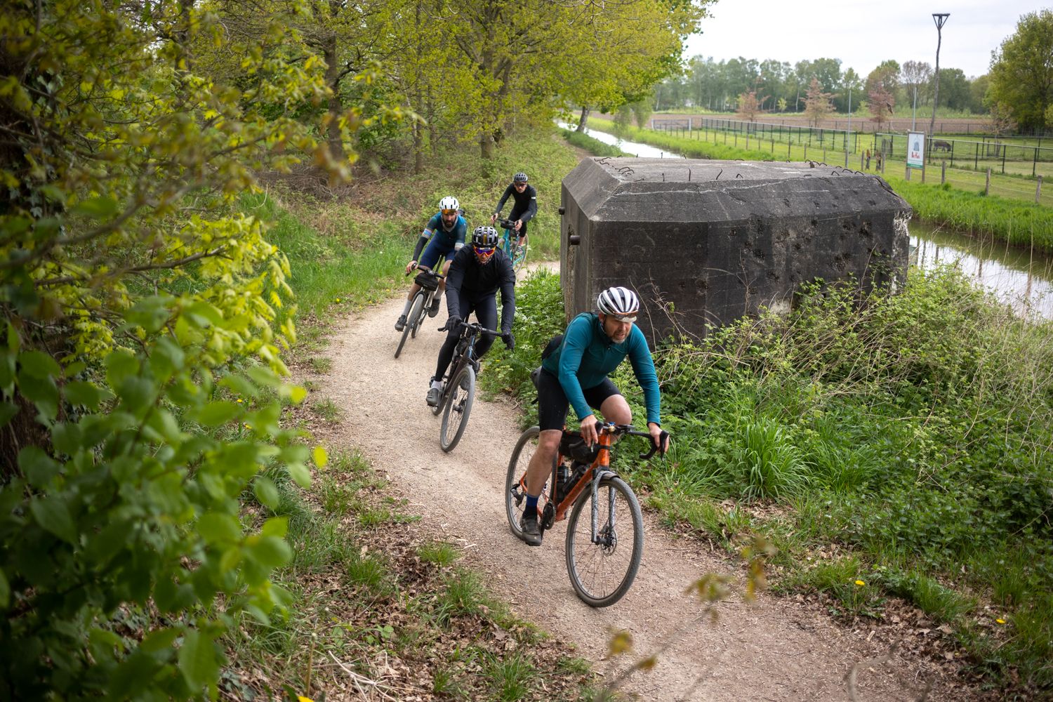
Liberation Divide | 북브란트 직통
네덜란드의 다른 모험


커뮤니티 팁

Veere is located on the former island of Walcheren in Zeeland. It's a city with a rich history dating back to the Middle Ages. Once a thriving trading center, the city has retained its medieval charm while bearing silent witness to many historical events. A stroll through the city center reveals not only the city's centuries-old history but also the unique way in which culture is interwoven with daily life. (Wandel.nl)
10
0

Endless beaches, great views, beautiful bike path.
1
0

Beautiful landscape, really beautiful 🤩
2
1

Great cycle paths and very beautiful scenery ✌🏻🇳🇱
2
0

The cycle path above the dike is raised - logically - so you have a great view of the sea.
4
1

Beautiful cycle paths lead through the nature-protected dunes of Texel.
4
0

The Veersedam, or Veersegatdam, was built in 1961 at the mouth of the Veerse Gat to protect parts of Walcheren, Noord-Beveland, and Zuid-Beveland from a potential new disaster. The construction of the dam, which was intended to connect Walcheren with Noord-Beveland, was not easy. The Veerse Gat was larger than the Zandkreek, and a strong current occurred at every high tide. More than 70 million m3 of water flowed through the mouth at both low and high tide. If the hole were closed with the same caissons as at the Zandkreek Dam, the current would eventually become too strong (the smaller the hole to be closed, the greater the current, as the same amount of water is forced through a smaller opening). The solution was the so-called "pass caissons," which, unlike the unit caissons of the Zandkreek Dam, were open. The section where the dam was to be built was first raised by spraying sand, and then a "sill" of stones was placed on which the caissons could stand firmly. The caissons were then placed one by one into the 320-meter-wide hole. At the time of installation, the caissons were still open, allowing water to flow freely, and only when the flow was minimal were the gates in the caissons lowered. Since the Zandkreek was already closed, a new lake, the Veerse Meer, was created. Much would change in this lake, especially as the saltwater slowly became brackish. Source: https://www.hollandlandofwater.com/de/veerse-gatdam/
7
0
Impressive lighthouse on the cycle path, beautiful sea view.
5
0


찾고 계신 것을 찾지 못하셨나요?
근처의 멋진 장소를 더 탐험하고 싶으신가요? 우리의 가이드를 살펴보세요:
더 살펴보기
찾고 있는 하이라이트를 아직 못 찾으셨나요? 다른 지역의 주요 명소 가이드를 확인해보세요:
