버켄베르더 최고의 러닝 경로
4.5
(34)
554
달리기 하는 사람
42
러닝
버켄베르더에서 하이킹하며 오버하벨 구석 부분까지 살펴볼까요? 버켄베르더에 있는 모든 하이킹 및 워킹 경로 컬렉션 중 가장 멋진 하이킹 경로를 엄선하여 소개해드릴게요. 다른 하이커가 공유한 실제 팁과 사진을 살펴보고 후기를 읽으며 마음에 드는 버켄베르더 워킹 경로를 찾아보세요.
마지막 업데이트: 8월 20, 2026
4.8
(10)
106
달리기 하는 사람
16.6km
01:53
70m
70m
어려운 조깅. 우수한 체력 필요. 대부분 포장된 지면. 실력과 관계없이 누구나 갈 수 있음.
4.5
(11)
90
달리기 하는 사람
13.1km
01:31
60m
60m
보통 조깅. 좋은 체력 필요. 대부분 포장된 지면. 실력과 관계없이 누구나 갈 수 있음.

무료 회원 가입
5.0
(1)
41
달리기 하는 사람
12.5km
01:18
50m
50m
보통 조깅. 좋은 체력 필요. 대부분 포장된 지면. 실력과 관계없이 누구나 갈 수 있음.
5.0
(2)
33
달리기 하는 사람
7.09km
00:50
30m
30m
보통 조깅. 좋은 체력 필요. 대부분 포장된 지면. 실력과 관계없이 누구나 갈 수 있음.
5.0
(1)
33
달리기 하는 사람
7.90km
00:49
20m
20m
보통 조깅. 좋은 체력 필요. 대부분 포장된 지면. 실력과 관계없이 누구나 갈 수 있음.
더 다양한 경로와 다른 탐험가들의 추천을 살펴보세요.
무료 회원 가입
이미 komoot 계정이 있나요?
투어 추천은 다른 사람들이 komoot에서 완료한 수천 개의 활동을 바탕으로 구성되어 있습니다.
오늘 무료 계정으로 시작하세요
다음 모험이 기다리고 있어요.
로그인 또는 가입하기

버켄베르더 주변의 다른 모험


커뮤니티 팁

South of Hohen Neuendorf S-Bahn station, the two S-Bahn lines, the S1 and S8, branch off directly toward Berlin, and the S8 along the so-called Berlin Outer Ring. After the branch, the line to Berlin is only single-track. As part of the i2030 project (https://www.i2030.de/), the section to Frohnau will be (partially) double-tracked. This is another prerequisite for the planned extension of the 10-minute service to Oranienburg. In addition to the construction of the second track, the less visible but nevertheless essential technical facilities must also be upgraded. These include, for example, the traction power supply systems and the control and safety systems. An interactive map showing all the measures planned for the S-Bahn network can be found at https://www.i2030.de/sbahn/.
1
0

Be careful! Some boards are loose. Otherwise, you have a beautiful view of the Briese from the bridge.
0
0
On the bridge there are benches with beautiful views of the Briese
0
0

Fish ladder at the bridge for salmon on their way to Alaska.
0
0

Important crossing for passenger traffic.
1
0


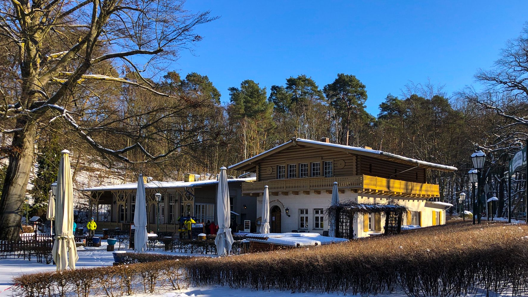
Nice place for a break. The boats meet here and the Italian restaurant on site makes pizzas with delicious, crispy bases and much more. From the terrace you have a good view of what's going on.
0
0
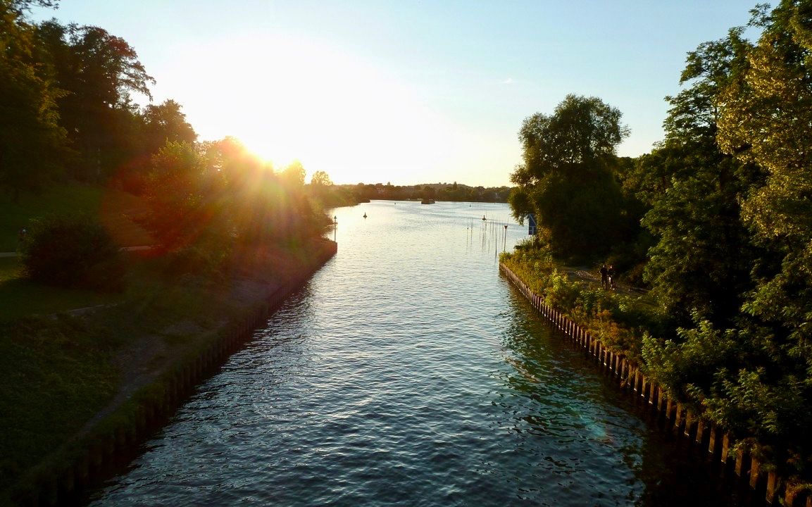
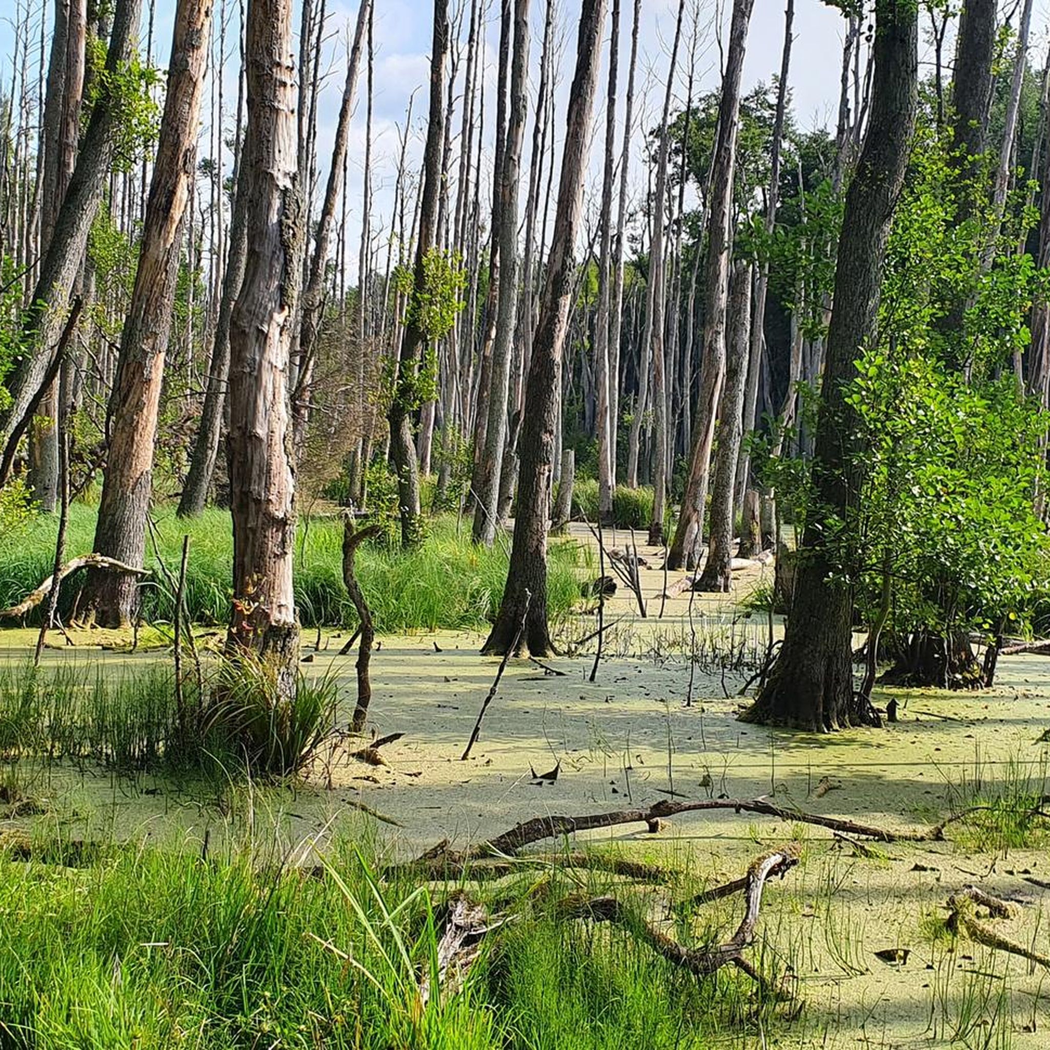
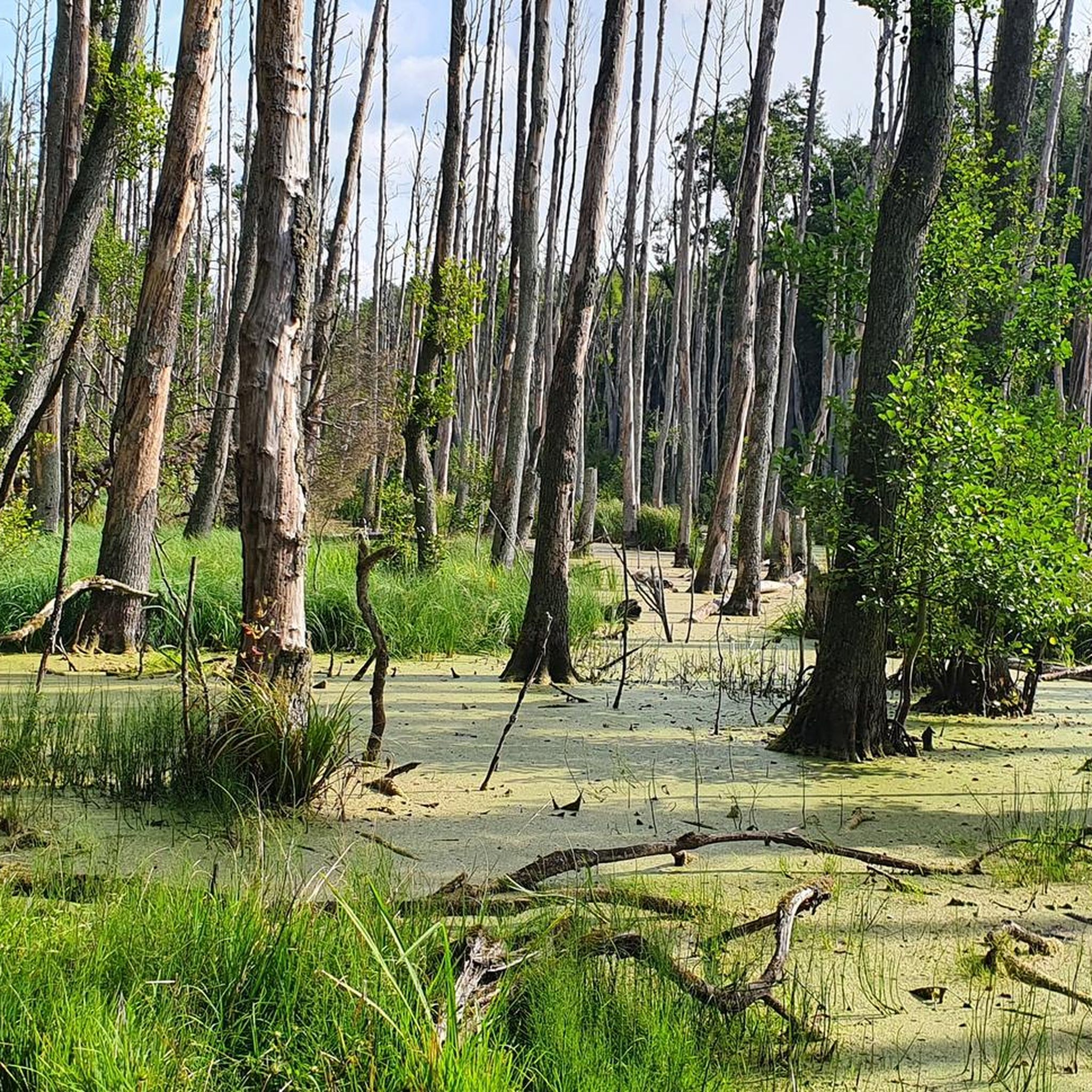
The Briese is a small, 17 km long, non-navigable tributary of the Havel. The Briese rises on the western Barnim in the Wandlitzer See and then flows through the Rahmer See and the Lubowsee. Its course is largely dictated by a glacial gully. It continues through the Briesewald, an alder forest that used to be called “Der Briesen” and gave the river its name (Slavic breza = birch). Here the Briese also touches the first settlement, the Colony Briese von Birkenwerder residential area, which is a popular excursion destination with Lake Briese as the entrance to the Briesetal nature reserve. The Briese then crosses the center of Birkenwerder and flows into the Havel near the western border of Hohen Neuendorf. The river had economic importance in the past when peat was cut in its area and it powered three water mills between Zühlsdorf and Birkenwerder-Untermühle.
2
1
버켄베르더 주변에서 가장 인기 있는 명소


더 살펴보기
다른 지역의 최고의 러닝 트레일 & 경로를 살펴보세요.
