버켄베르더 최고의 사이클링 경로
4.5
(234)
1,203
자전거 타는 사람
46
라이딩
버켄베르더 최고의 사이클링 경로를 찾으시나요? 버켄베르더에서 가장 멋진 자전거 라이딩 장소를 살펴본 후에 바로 떠나보세요. 여기서 마음에 드는 경로만 고르시면 돼요!
마지막 업데이트: 10월 7, 2026
4.4
(13)
81
자전거 타는 사람
26.1km
01:31
70m
70m
초급용 자전거 라이딩. 모든 체력 수준에 적합. 대부분 포장된 지면. 실력과 관계없이 누구나 갈 수 있음.
4.0
(13)
37
자전거 타는 사람
62.4km
03:42
130m
130m
보통 자전거 타기. 좋은 체력 필요. 대부분 포장된 지면. 실력과 관계없이 누구나 갈 수 있음.

4.0
(4)
62
자전거 타는 사람
20.5km
01:15
50m
50m
초급용 자전거 라이딩. 모든 체력 수준에 적합. 대부분 포장된 지면. 실력과 관계없이 누구나 갈 수 있음.
5.0
(4)
57
자전거 타는 사람
9.34km
00:33
30m
30m
초급용 자전거 라이딩. 모든 체력 수준에 적합. 대부분 포장된 지면. 실력과 관계없이 누구나 갈 수 있음.
4.8
(8)
31
자전거 타는 사람
47.3km
02:48
120m
120m
보통 자전거 타기. 좋은 체력 필요. 대부분 포장된 지면. 실력과 관계없이 누구나 갈 수 있음.
더 다양한 경로와 다른 탐험가들의 추천을 살펴보세요.
이미 komoot 계정이 있나요?
투어 추천은 다른 사람들이 komoot에서 완료한 수천 개의 활동을 바탕으로 구성되어 있습니다.
오늘 무료 계정으로 시작하세요
다음 모험이 기다리고 있어요.
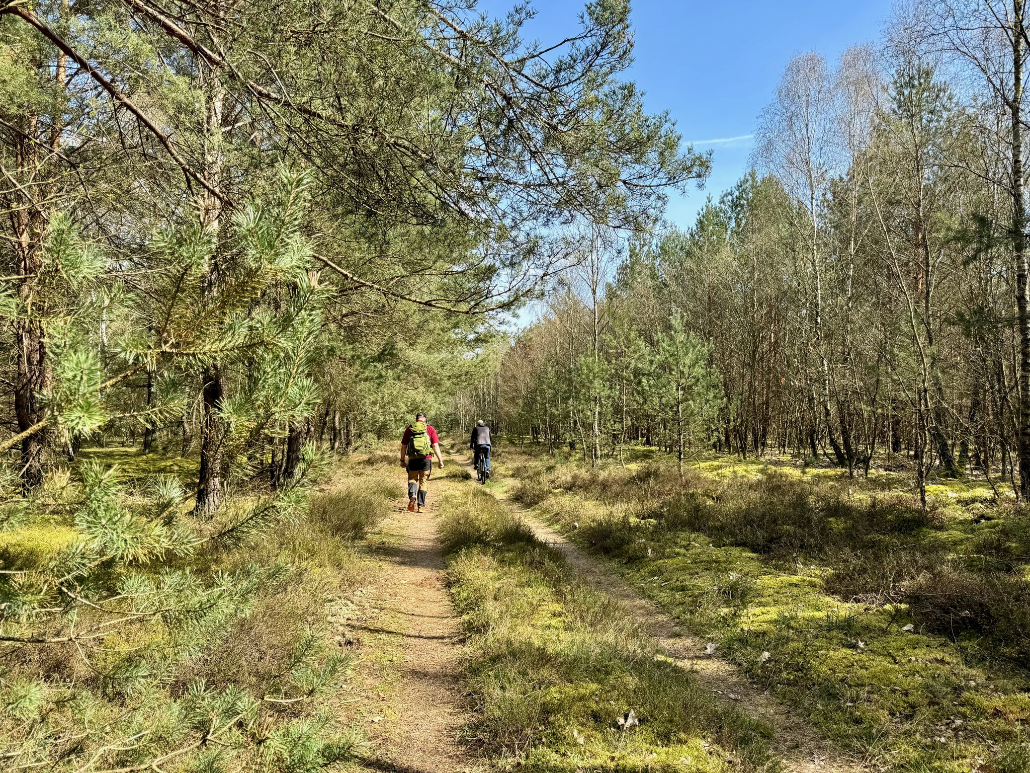
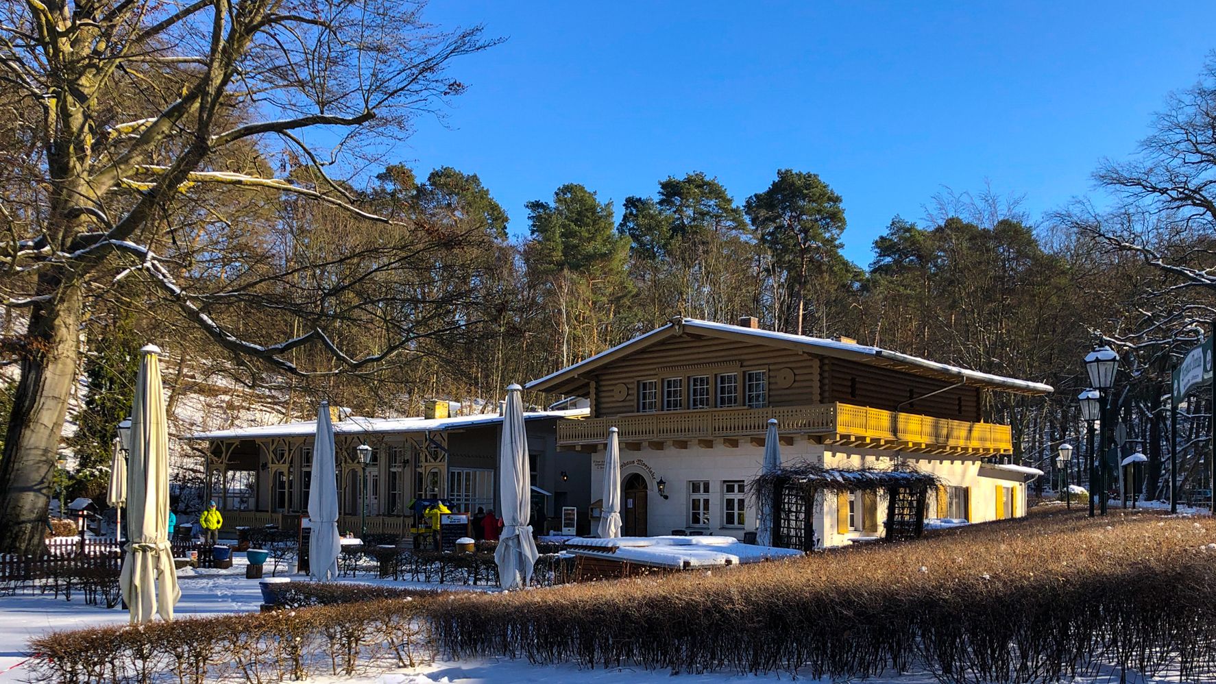
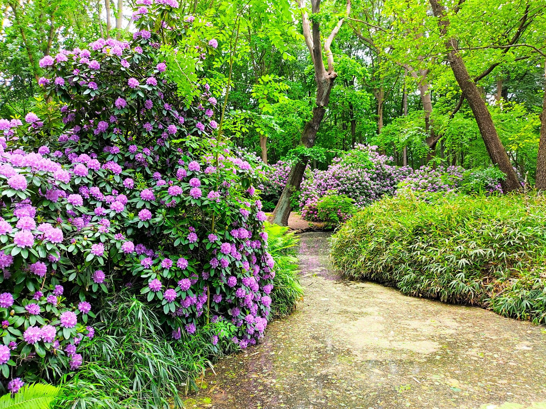
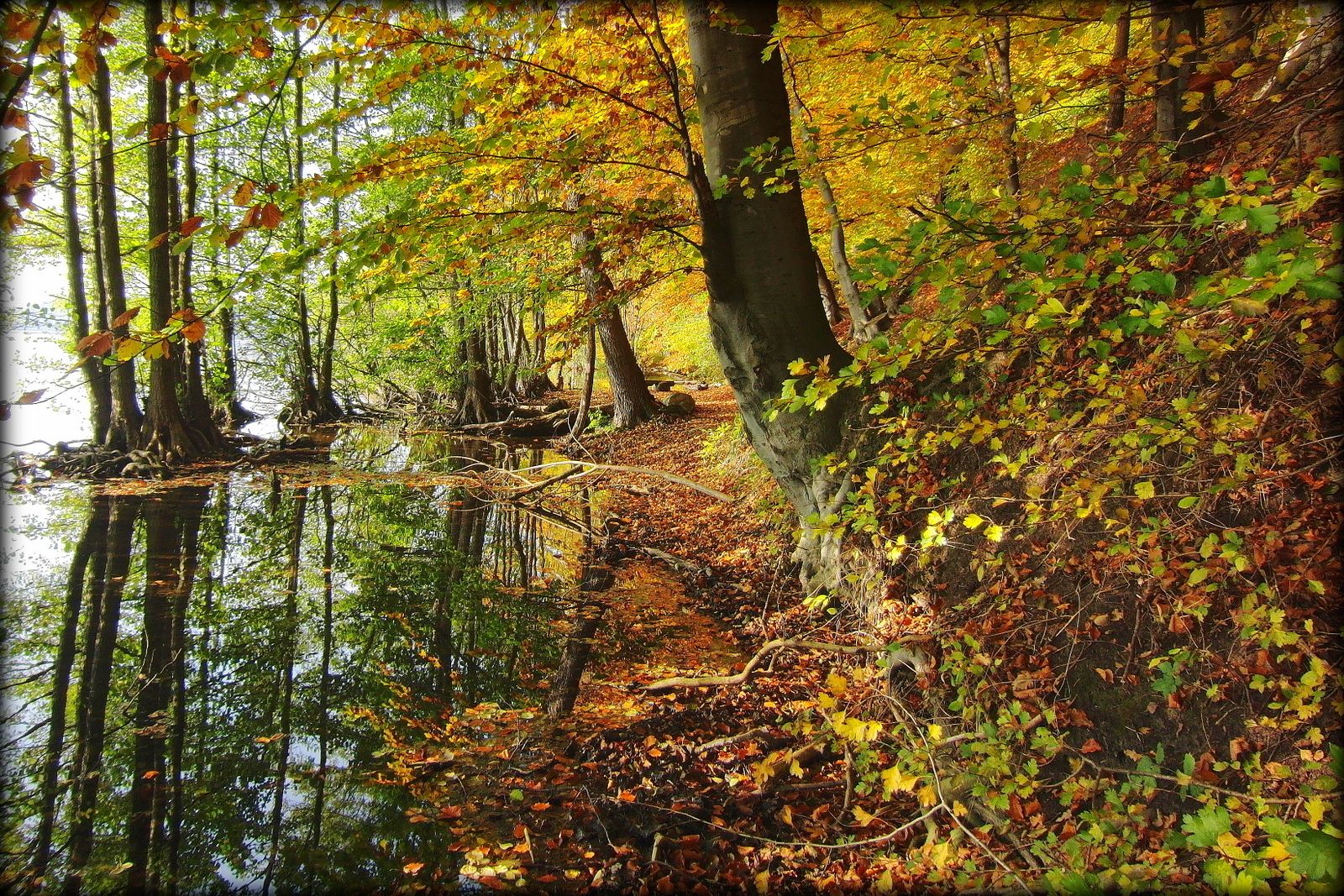

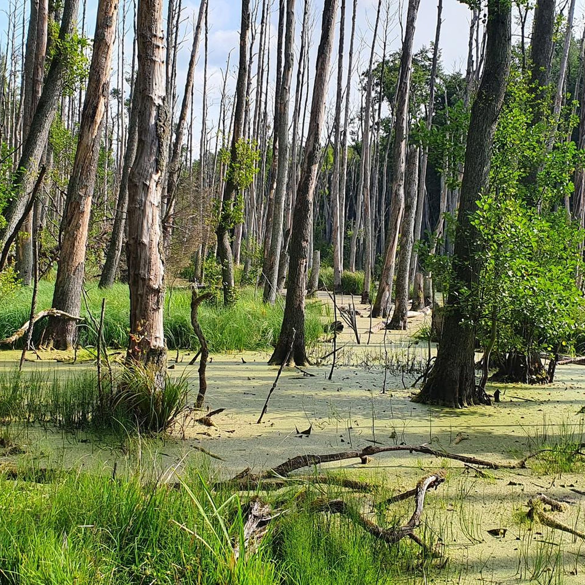
버켄베르더 주변의 다른 모험


커뮤니티 팁

드디어 이 구간을 연결했습니다. 이전에는 트럭과 열악한 도로 때문에 자전거 타는 사람들에게 치명적이었습니다.
0
0

자전거 도로는 아직 로드 바이크에 적합한 상태입니다. Marwitz 끝의 안전한 진입로는 오른쪽 커브에서 드레인 게이트를 지나 측면 도로로 이어지며, 즉시 90도 오른쪽으로 꺾입니다.
0
0

South of Hohen Neuendorf S-Bahn station, the two S-Bahn lines, the S1 and S8, branch off directly toward Berlin, and the S8 along the so-called Berlin Outer Ring. After the branch, the line to Berlin is only single-track. As part of the i2030 project (https://www.i2030.de/), the section to Frohnau will be (partially) double-tracked. This is another prerequisite for the planned extension of the 10-minute service to Oranienburg. In addition to the construction of the second track, the less visible but nevertheless essential technical facilities must also be upgraded. These include, for example, the traction power supply systems and the control and safety systems. An interactive map showing all the measures planned for the S-Bahn network can be found at https://www.i2030.de/sbahn/.
1
0
At Birkenwerder station, the S-Bahn and regional trains still use the same rail infrastructure. Both systems have different power supplies (S-Bahn power rail and overhead lines) as well as different control and signaling systems. This creates dependencies between the two transport systems, which can currently lead to timetable restrictions and train delays. To improve operational stability and as a prerequisite for the creation of more frequent S-Bahn services, these bottlenecks are to be resolved as part of the expansion planning. A separate platform for regional trains is planned, with two platform edges, a length of 220 meters, and barrier-free access. A new crossing is to be built north of the two platforms, with corresponding access to the platforms and to the streets "Unter den Linden" and "An der Bahn." The additional S-Bahn and regional train stops can only be implemented after the reconstruction. While the S1 and S8 trains currently stop here every 20 minutes, and the RB20 regional train line stops here once an hour, in the future, in addition to the unchanged S8 and RB20, the S1 trains will stop in Birkenwerder every 10 minutes, as will the RB12 and RB32 regional trains. More information about the entire project can be found at: https://www.i2030.de/sbahn/.
1
0

Beautiful here, but too many cobblestones for a racing bike.
0
0

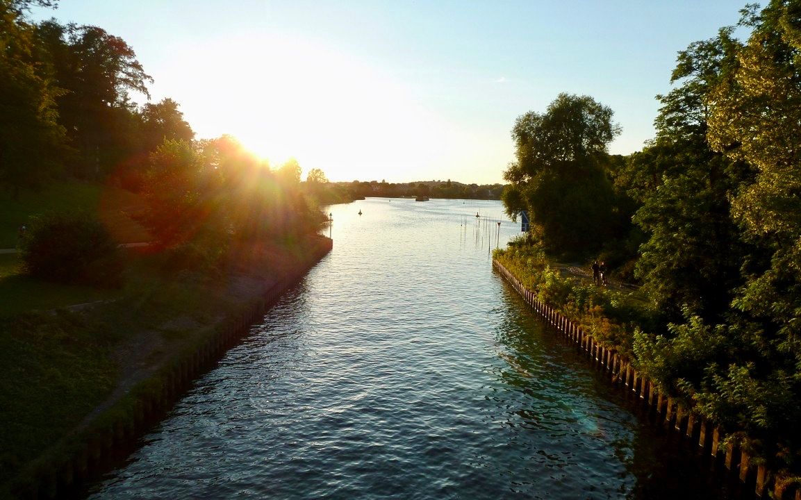
Beautiful to look at from the second bridge, but towards Oranienburg on the cycle path along the Oranienburg Canal is the most beautiful, smallest and third bridge.
0
0

Bridge over the Havel.
0
0
버켄베르더 주변에서 가장 인기 있는 명소


더 살펴보기
다른 지역의 최고의 자전거 경로를 살펴보세요.
