메소코 최고의 사이클링 경로
4.8
(156)
3,067
자전거 타는 사람
69
라이딩
메소코 최고의 사이클링 경로를 따라 지역을 둘러볼까요? 메소코에서 가장 멋진 자전거 라이딩 장소 중에서 가장 마음에 드는 라이딩을 선택해보세요.
마지막 업데이트: 10월 2, 2026
5.0
(1)
35
자전거 타는 사람
17.9km
01:40
510m
510m
어려운 자전거 타기. 우수한 체력 필요. 대부분 포장된 지면. 실력과 관계없이 누구나 갈 수 있음.
21
자전거 타는 사람
9.15km
00:47
140m
140m
초급용 자전거 라이딩. 모든 체력 수준에 적합. 대부분 포장된 지면. 실력과 관계없이 누구나 갈 수 있음.

5.0
(4)
76
자전거 타는 사람
43.2km
03:35
1,400m
1,400m
어려운 자전거 타기. 우수한 체력 필요. 대부분 포장된 지면. 실력과 관계없이 누구나 갈 수 있음.
4.3
(3)
82
자전거 타는 사람
31.8km
02:31
790m
800m
어려운 자전거 타기. 우수한 체력 필요. 대부분 포장된 지면. 실력과 관계없이 누구나 갈 수 있음.
5.0
(3)
59
자전거 타는 사람
34.2km
02:42
940m
940m
어려운 자전거 타기. 우수한 체력 필요. 대부분 포장된 지면. 실력과 관계없이 누구나 갈 수 있음.
더 다양한 경로와 다른 탐험가들의 추천을 살펴보세요.
이미 komoot 계정이 있나요?
투어 추천은 다른 사람들이 komoot에서 완료한 수천 개의 활동을 바탕으로 구성되어 있습니다.
오늘 무료 계정으로 시작하세요
다음 모험이 기다리고 있어요.



커뮤니티 팁


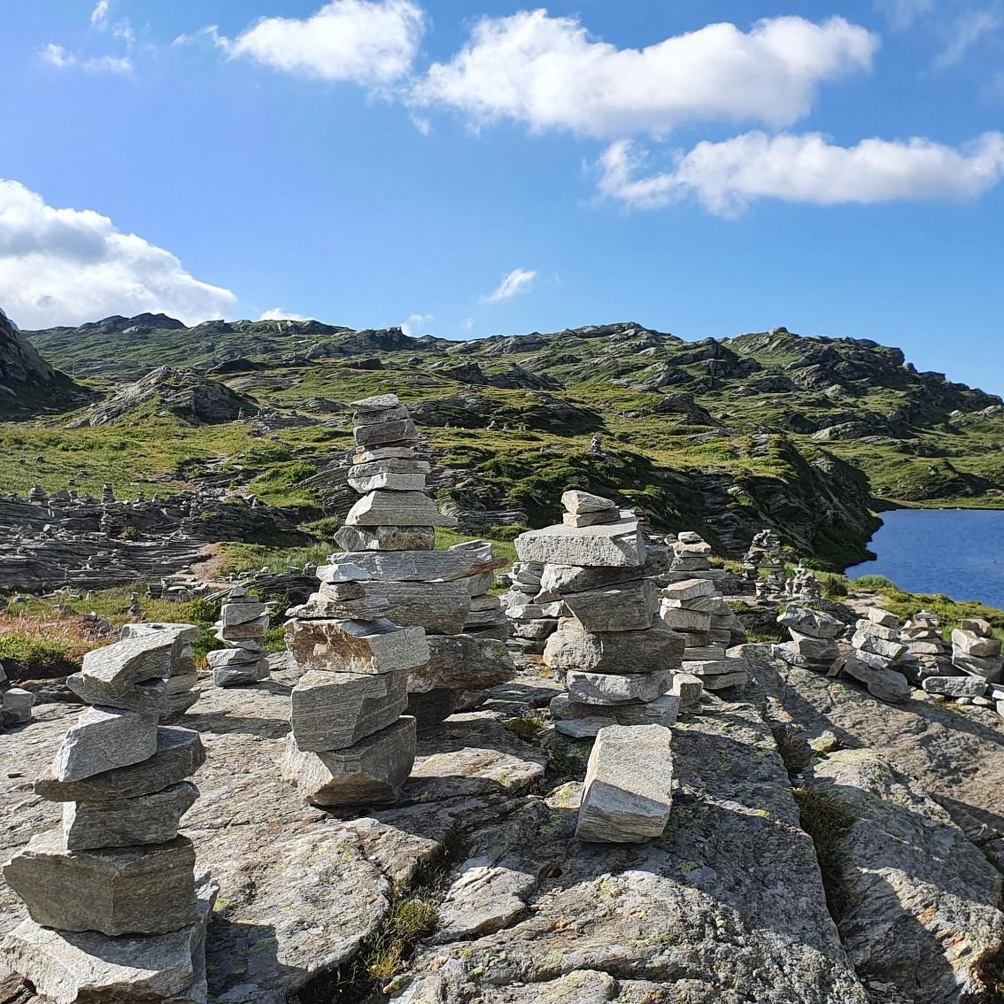
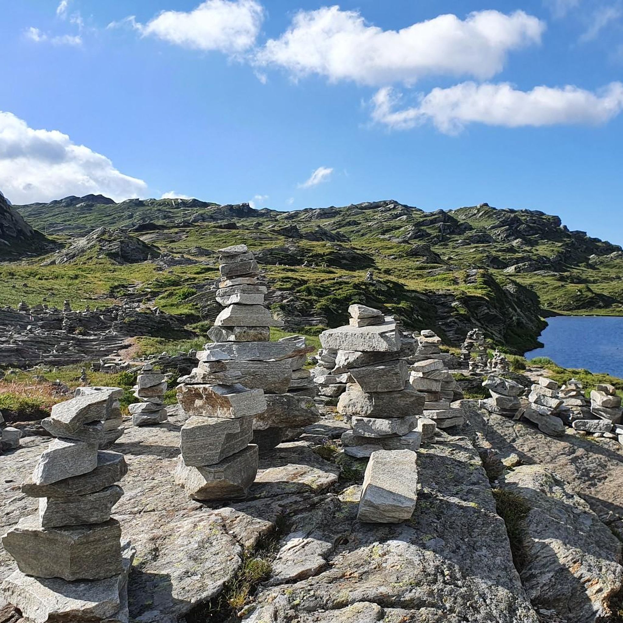
San Bernardino의 역사적인 미네랄 온천이 마을 바로 안에 있습니다. 수정처럼 맑은 물은 수 세기 동안 이곳에서 솟아났으며 오늘날에도 신선하게 채취할 수 있습니다. 짧은 방문은 그만한 가치가 있습니다. 역사를 위해서뿐만 아니라 투어의 시작 또는 끝에서 상쾌한 휴식을 위해서도 말입니다.
0
0

Great atmosphere and beautiful view
0
0

Church of St. Rocco, San Rocco / Mesocco Church and Convent of St. Rocco, San Rocco / Mesocco Church and Convent of Capuchin Friars, circa 1550 to 1668 The Church of St. Rocco probably dates back to the early 16th century and is characterized by its Baroque style, which was renovated in 1935. The single-nave church features elegant plaster vaults, while the choir is decorated with a cross vault with frescoes by Francesco Antonio Giorgioli. The building became a hospice for Capuchin friars in 1668. In 1671, chapels were added on either side of the choir, and later, in 1730, two side chapels were added. Text / Source: Ente Turistico Regionale del Moesano (ETRM), Cantonàl 94, San Bernardino https://www.visit-moesano.ch/de/chiesa-san-rocco
14
0
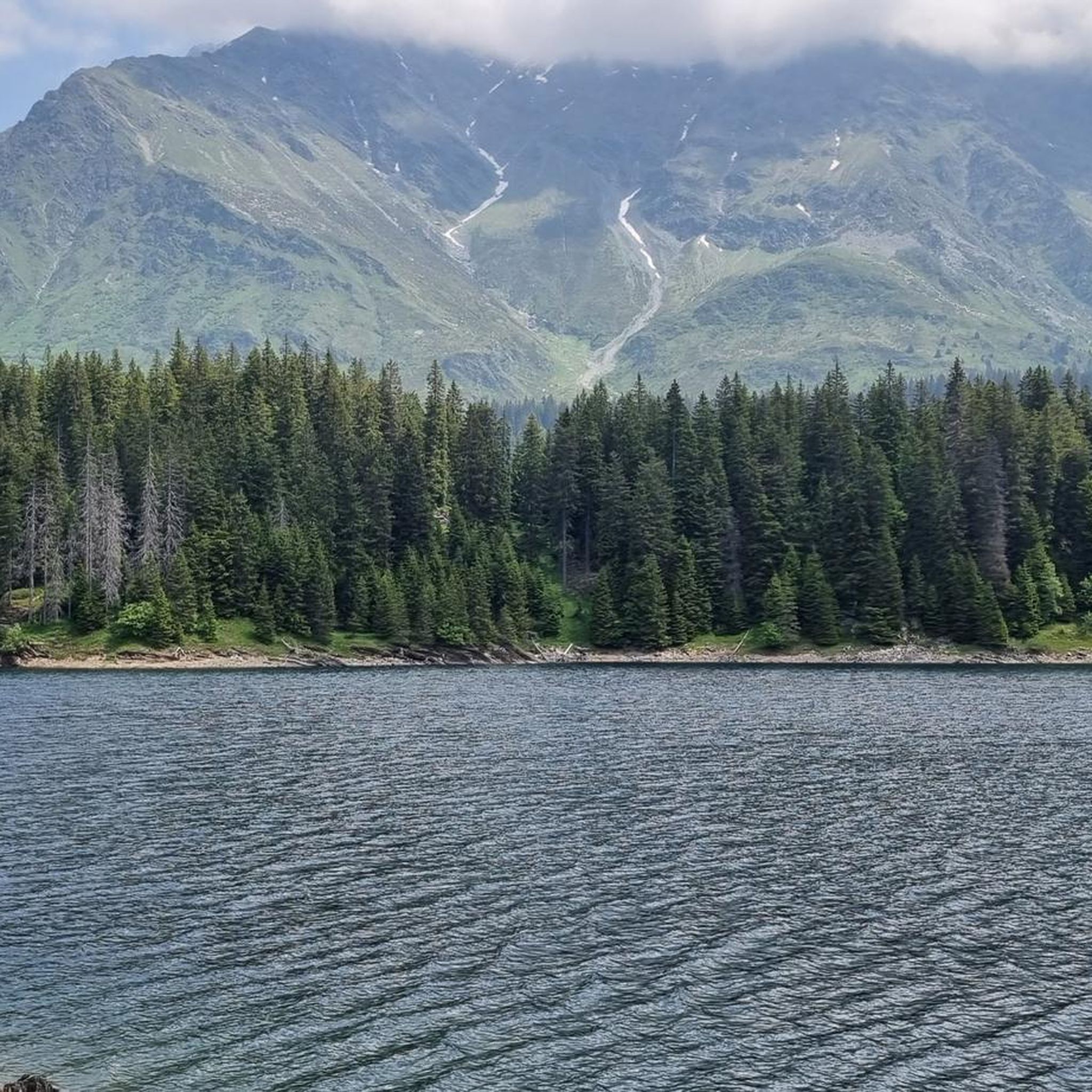
Moësa (River) Moesa to Mesocco The Moësa rises at an altitude of approximately 2,245 meters above sea level on the Alpe Moesola above the San Bernardino Pass in the canton of Graubünden. After its source, it flows down to the top of the pass and feeds the first lake on its journey – the Laghetto Moesola – near the hospice. Leaving the lake at its southern end, it loses some elevation and then, at approximately 1,860 meters, joins the Riale Mucia stream from the right. A little later, the Moesa River also reaches the first village, San Bernardino (1,640 meters). It flows right through the center of the Graubünden village, merging with both the Ri de Fontanalba and Ri de Confin. While still in the village, it then flows into the Lago d'Isola reservoir. After the dam, the Moesa descends steeply, flowing through a gorge into the hamlet of Spina. It also shoots over the beautiful Moesa Waterfall and is joined by the Ri del Bech, Riale di Arbeola, and Riale de Spina streams. The Moesa now has a short distance to go to the village of Pian San Giacomo (1200 m), where it joins the Ri de Seda. After another steep drop and several tributaries (such as the Ri de Brion, Ri de Gratela, and Ri de Anzon), the river then reaches Mesocco (approx. 770 m). Text / Source: schweizerfluss.ch https://schweizerfluss.ch/moesa/
14
0
S.Bernardo 미네랄 워터, San Bernardino 1926년부터 품질 좋은 물 S.Bernardo는 품질, 전통, 우아함의 완벽한 조화를 나타냅니다. 수원지는 1,300m 고도의 건강하고 깨끗한 환경의 알프스 산맥에 있습니다. 텍스트 / 출처: S. Bernardo S.p.A., Via O. Rovere, 41 – 12075 Garessio (CN) https://www.sanbernardo.it/azienda-san-bernardo/
14
0

When cycling up route 6, the A13 eventually becomes the intermediate goal as one cycles up and up and comes closer in elevation to the highway.
0
0

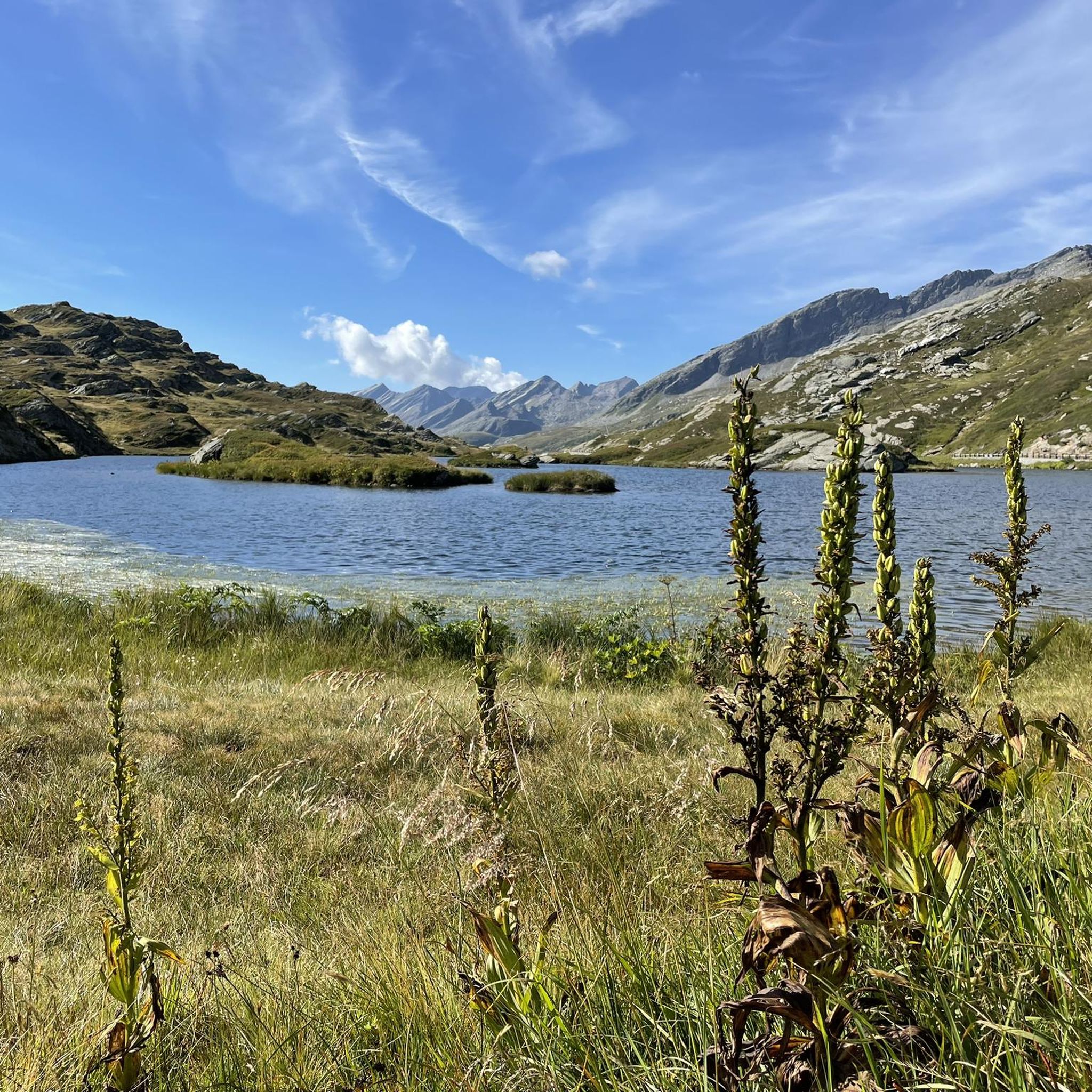
The lake can be bypassed with a mountain bike. Two gates can only be bypassed by stopping and pushing. :-(
1
0
메소코 주변에서 가장 인기 있는 경로


더 살펴보기
다른 지역의 최고의 자전거 경로를 살펴보세요.
