칼랑카 최고의 사이클링 경로
4.5
(148)
2,359
자전거 타는 사람
48
라이딩
칼랑카 최고의 사이클링 경로를 따라 지역을 둘러볼까요? 칼랑카에서 가장 멋진 자전거 라이딩 장소 중에서 가장 마음에 드는 라이딩을 선택해보세요.
마지막 업데이트: 10월 9, 2026
5.0
(1)
8
자전거 타는 사람
22.2km
01:36
410m
410m
Cycle the moderate Graubünden Route, a 13.8-mile (22.2 km) touring cycling trail in Parco Val Calanca with Alpine views and waterfalls.
4.8
(8)
99
자전거 타는 사람
101km
07:37
2,480m
2,480m
어려운 자전거 타기. 우수한 체력 필요. 대부분 포장된 지면. 실력과 관계없이 누구나 갈 수 있음.

19
자전거 타는 사람
27.0km
01:45
320m
320m
보통 자전거 타기. 좋은 체력 필요. 대부분 포장된 지면. 실력과 관계없이 누구나 갈 수 있음.
5.0
(1)
18
자전거 타는 사람
36.1km
02:52
880m
880m
어려운 자전거 타기. 우수한 체력 필요. 대부분 포장된 지면. 실력과 관계없이 누구나 갈 수 있음.
5.0
(2)
19
자전거 타는 사람
28.6km
02:24
770m
770m
어려운 자전거 타기. 우수한 체력 필요. 대부분 포장된 지면. 실력과 관계없이 누구나 갈 수 있음.
더 다양한 경로와 다른 탐험가들의 추천을 살펴보세요.
이미 komoot 계정이 있나요?
투어 추천은 다른 사람들이 komoot에서 완료한 수천 개의 활동을 바탕으로 구성되어 있습니다.
오늘 무료 계정으로 시작하세요
다음 모험이 기다리고 있어요.
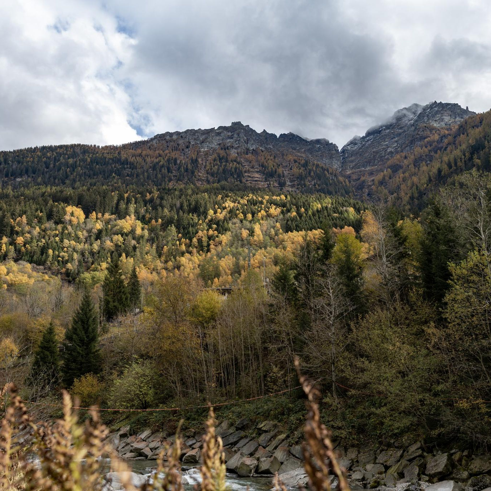
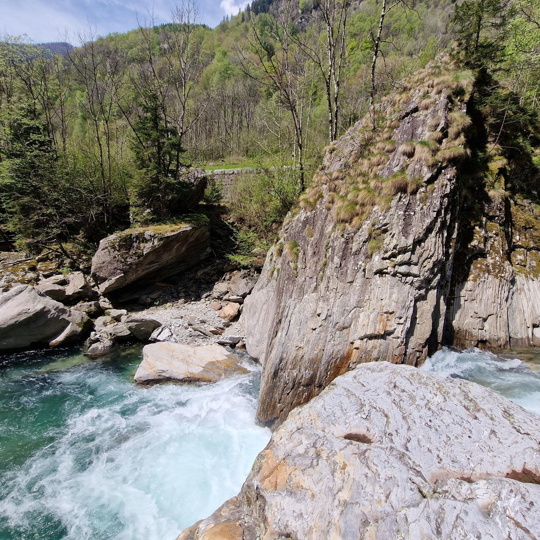
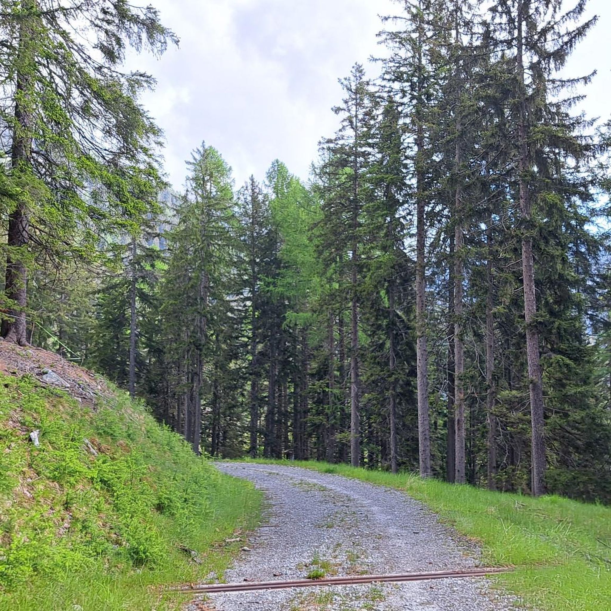
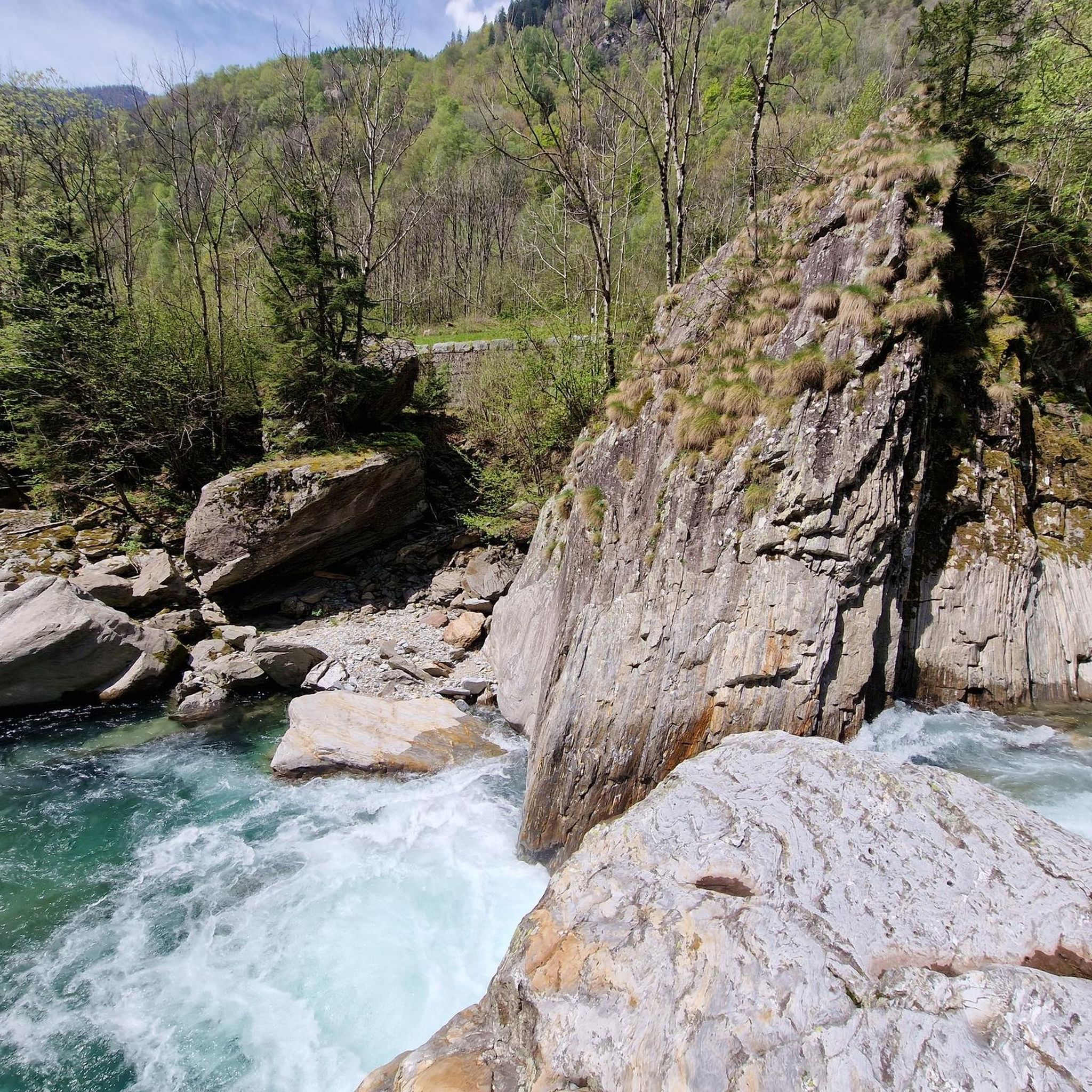
커뮤니티 팁


철도 노선은 현재 대부분 자전거 도로입니다
0
0

Great atmosphere and beautiful view
0
0

Mesocco Castle San Bernardino Castle Mesolcina Calanca The ruins of Mesocco Castle stand on top of an imposing rocky hill that rises steeply from the valley floor. This imposing fortress stands in the center of the valley, forcing the Moesa River into a wide bend in a narrow, impassable gorge, leaving only a narrow passage to the west. Mesocco Castle is protected on three sides by steep cliffs. Only to the northeast, on the upstream side of the valley, does the slope slope more gently. Climbing up the old access road to the castle from the north side, you first reach the Church of St. Maria del Castello and are already on the castle grounds, which were once surrounded by a defensive wall. The impressive ruins consist mainly of the remains of defensive works built in the last decades of the 15th century, i.e., during the final phase of the castle's life. Among them are numerous ruins from earlier eras, so that the castle's current appearance reveals its eventful history, which has its roots in the early Middle Ages. Graubünden Ferien, Alexanderstrasse 24, 7001 Chur https://www.graubuenden.ch/de/ausflugsziele/castello-di-mesocco
14
0
Moësa (River) Moesa to Mesocco The Moësa rises at an altitude of approximately 2,245 meters above sea level on the Alpe Moesola above the San Bernardino Pass in the canton of Graubünden. After its source, it flows down to the top of the pass and feeds the first lake on its journey – the Laghetto Moesola – near the hospice. Leaving the lake at its southern end, it loses some elevation and then, at approximately 1,860 meters, joins the Riale Mucia stream from the right. A little later, the Moesa River also reaches the first village, San Bernardino (1,640 meters). It flows right through the center of the Graubünden village, merging with both the Ri de Fontanalba and Ri de Confin. While still in the village, it then flows into the Lago d'Isola reservoir. After the dam, the Moesa descends steeply, flowing through a gorge into the hamlet of Spina. It also shoots over the beautiful Moesa Waterfall and is joined by the Ri del Bech, Riale di Arbeola, and Riale de Spina streams. The Moesa now has a short distance to go to the village of Pian San Giacomo (1200 m), where it joins the Ri de Seda. After another steep drop and several tributaries (such as the Ri de Brion, Ri de Gratela, and Ri de Anzon), the river then reaches Mesocco (approx. 770 m). Text / Source: schweizerfluss.ch https://schweizerfluss.ch/moesa/
14
0

When cycling up route 6, the A13 eventually becomes the intermediate goal as one cycles up and up and comes closer in elevation to the highway.
0
0


In Soazza, the railway line runs through a tunnel beneath the church. Wide tires are advantageous for bicycles. Nevertheless, it is a beautiful route.
1
0


더 살펴보기
다른 지역의 최고의 자전거 경로를 살펴보세요.
