엘멘 최고의 등산 경로
4.8
(316)
2,404
등산객
71
하이킹
엘멘에서 하이킹하며 루테 구석 부분까지 살펴볼까요? 엘멘에 있는 모든 하이킹 및 워킹 경로 컬렉션 중 가장 멋진 하이킹 경로를 엄선하여 소개해드릴게요. 다른 하이커가 공유한 실제 팁과 사진을 살펴보고 후기를 읽으며 마음에 드는 엘멘 워킹 경로를 찾아보세요.
마지막 업데이트: 9월 29, 2026
4.7
(23)
144
등산객
12.1km
07:32
1,340m
1,350m
어려운 등산 코스. 우수한 체력 필요. 튼튼한 신발을 신고 미끄러지지 않게 조심해야 하며, 높은 산을 오른 경험이 있어야 함.
4.9
(18)
117
등산객
16.1km
09:07
1,540m
1,540m
어려운 등산 코스. 우수한 체력 필요. 튼튼한 신발을 신고 미끄러지지 않게 조심해야 하며, 높은 산을 오른 경험이 있어야 함.

4.9
(12)
58
등산객
15.1km
06:57
1,090m
1,090m
어려운 등산 코스. 우수한 체력 필요. 튼튼한 신발을 신고 미끄러지지 않게 조심해야 하며, 높은 산을 오른 경험이 있어야 함.
4.8
(8)
36
등산객
14.4km
08:46
1,600m
1,600m
어려운 등산 코스. 우수한 체력 필요. 튼튼한 신발을 신고 미끄러지지 않게 조심해야 하며, 높은 산을 오른 경험이 있어야 함.
4.0
(2)
32
등산객
8.36km
04:57
900m
900m
어려운 등산 코스. 좋은 체력 필요. 튼튼한 신발을 신고 미끄러지지 않게 조심해야 하며, 높은 산을 오른 경험이 있어야 함.
더 다양한 경로와 다른 탐험가들의 추천을 살펴보세요.
이미 komoot 계정이 있나요?
투어 추천은 다른 사람들이 komoot에서 완료한 수천 개의 활동을 바탕으로 구성되어 있습니다.
오늘 무료 계정으로 시작하세요
다음 모험이 기다리고 있어요.
엘멘 주변 인기 장소
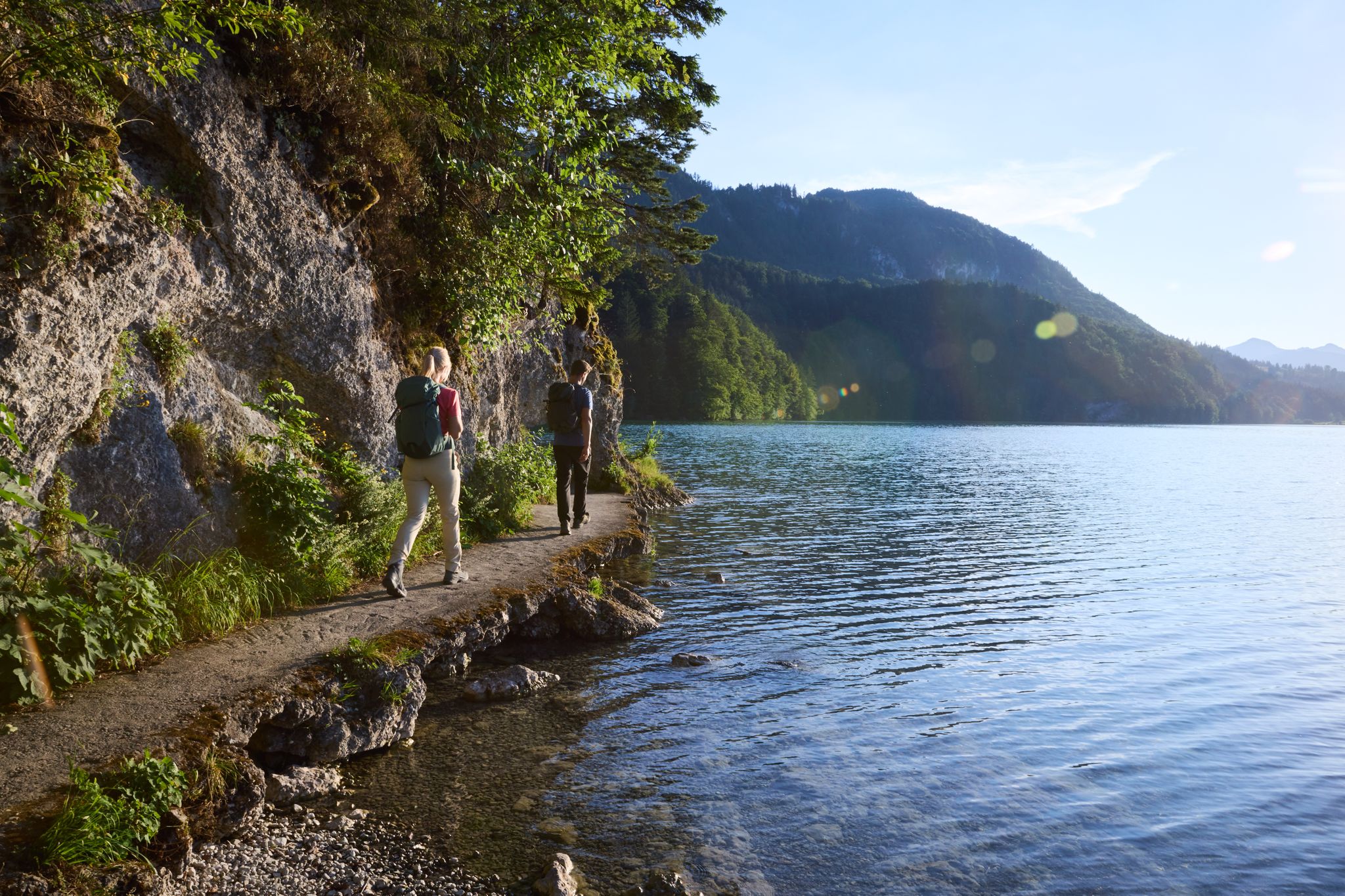
Lechloops – wonderful hiking along the wild Lech
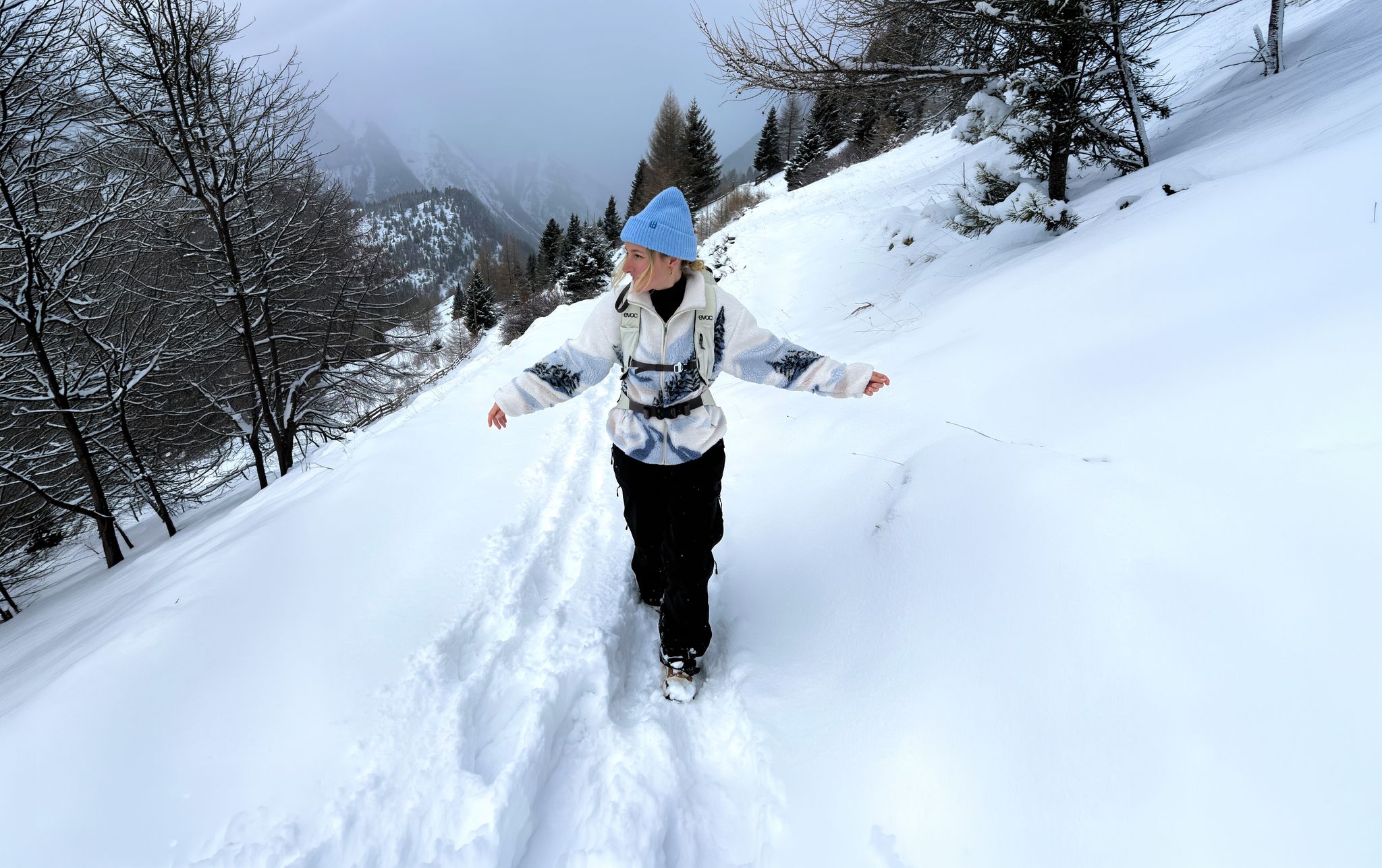
Scenic Winter Hikes around Austria
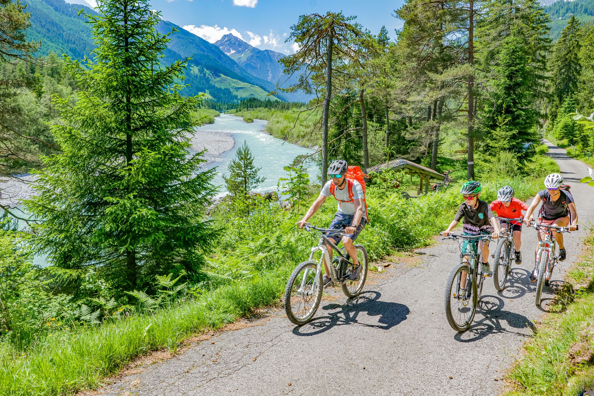
Cycling in the Tyrolean Lech Valley – 10 varied routes along the wild Lech river
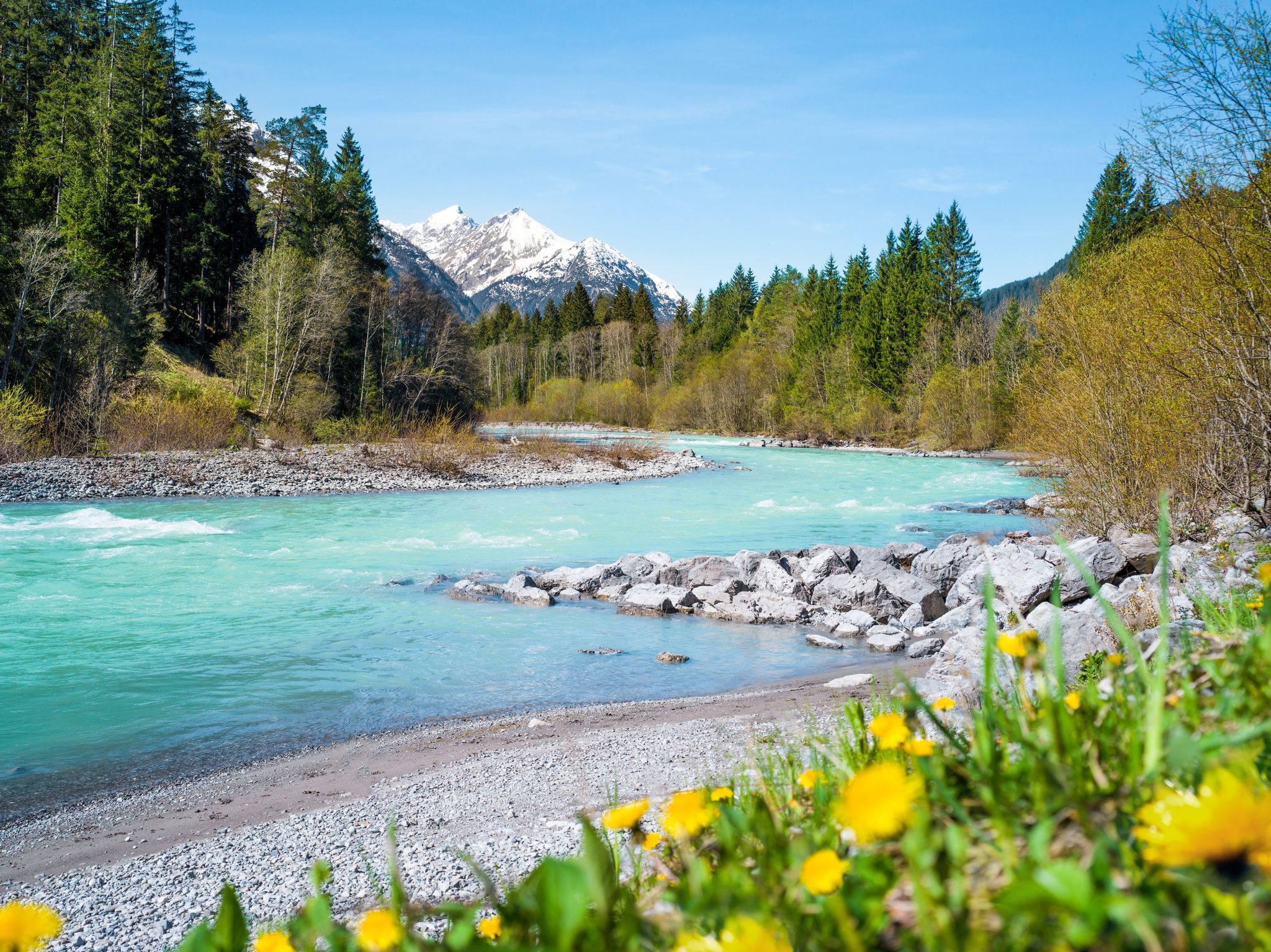
Multi-day hiking against the flow – the Lechweg in reverse
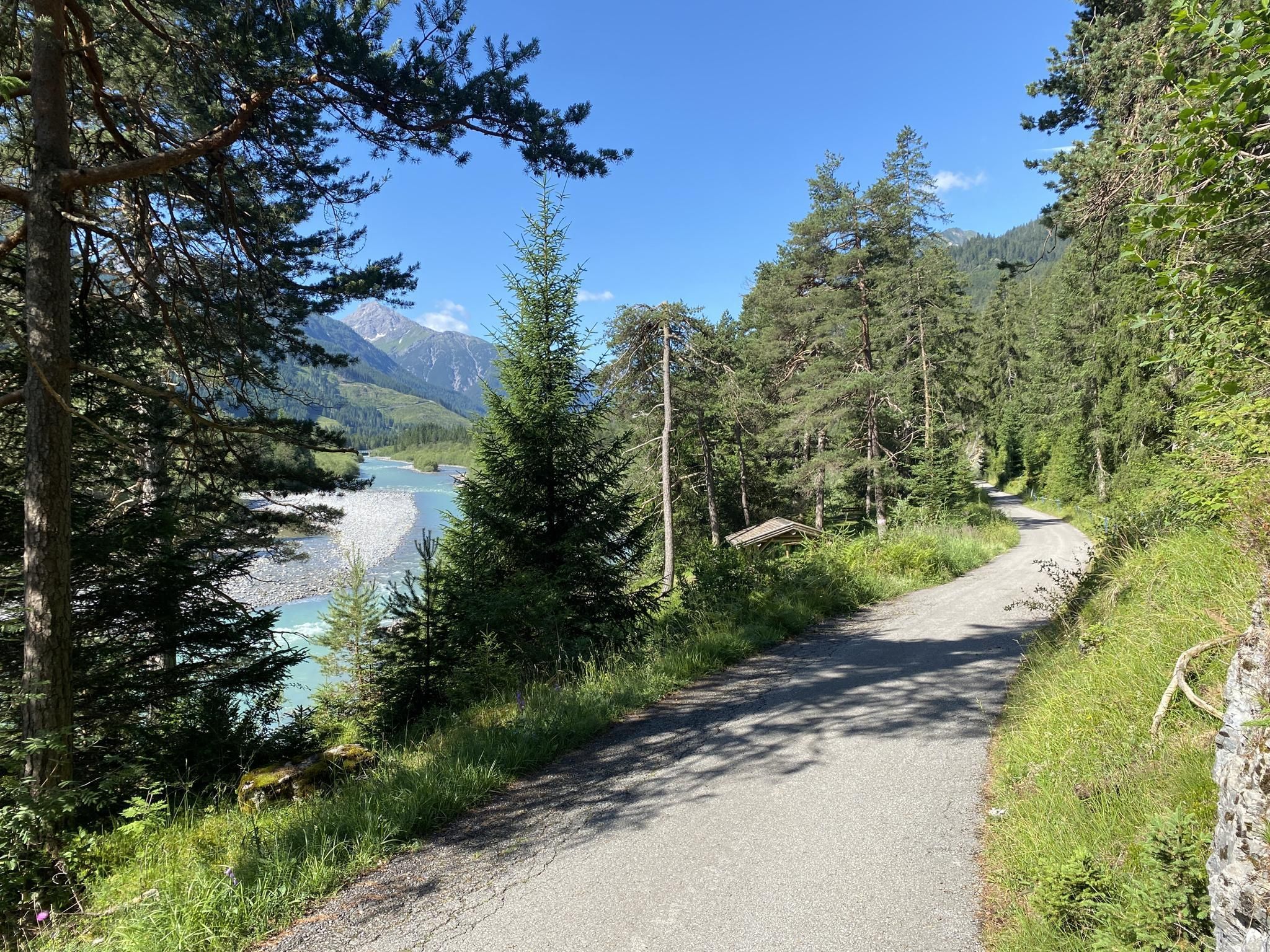
산악 속을 편안히 자전거 타기 - 티롤 레흐 자전거 코스
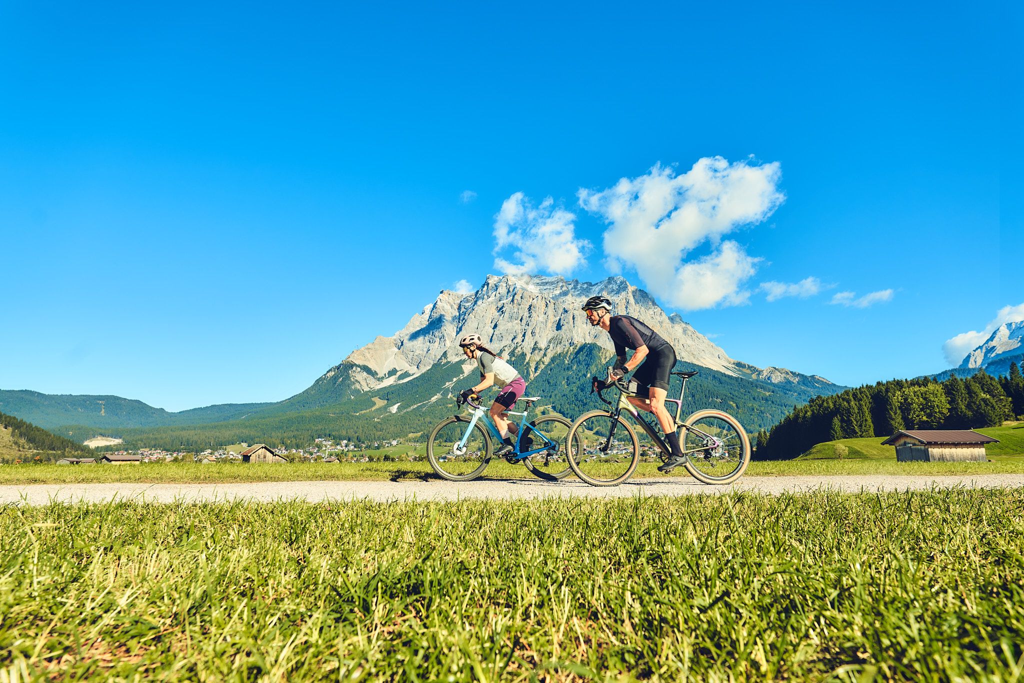
Experience the Außerfern in Tyrol's largest gravel bike region
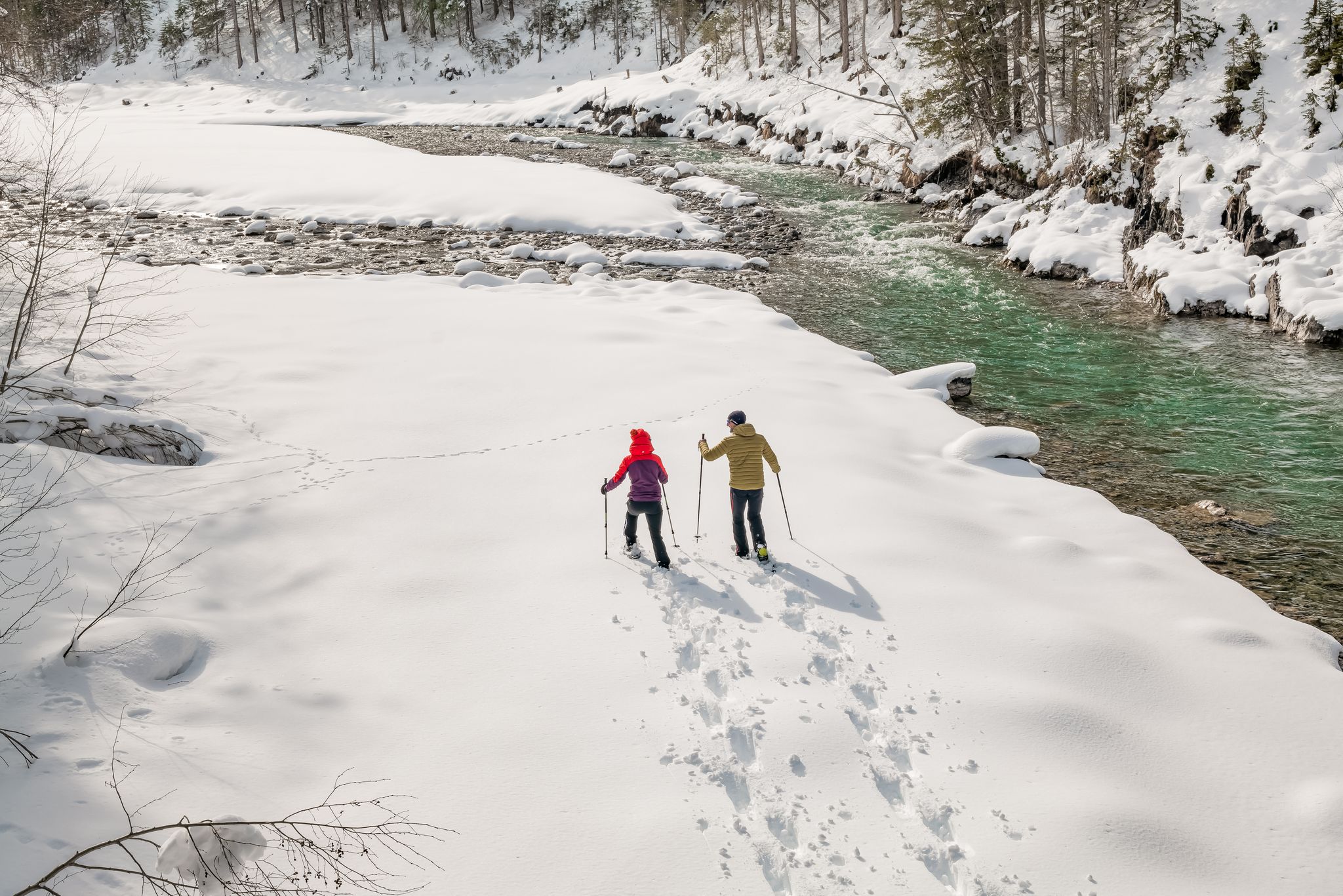
Winter hiking along the last wild river landscape in Europe – Tyrolean Lech Valley
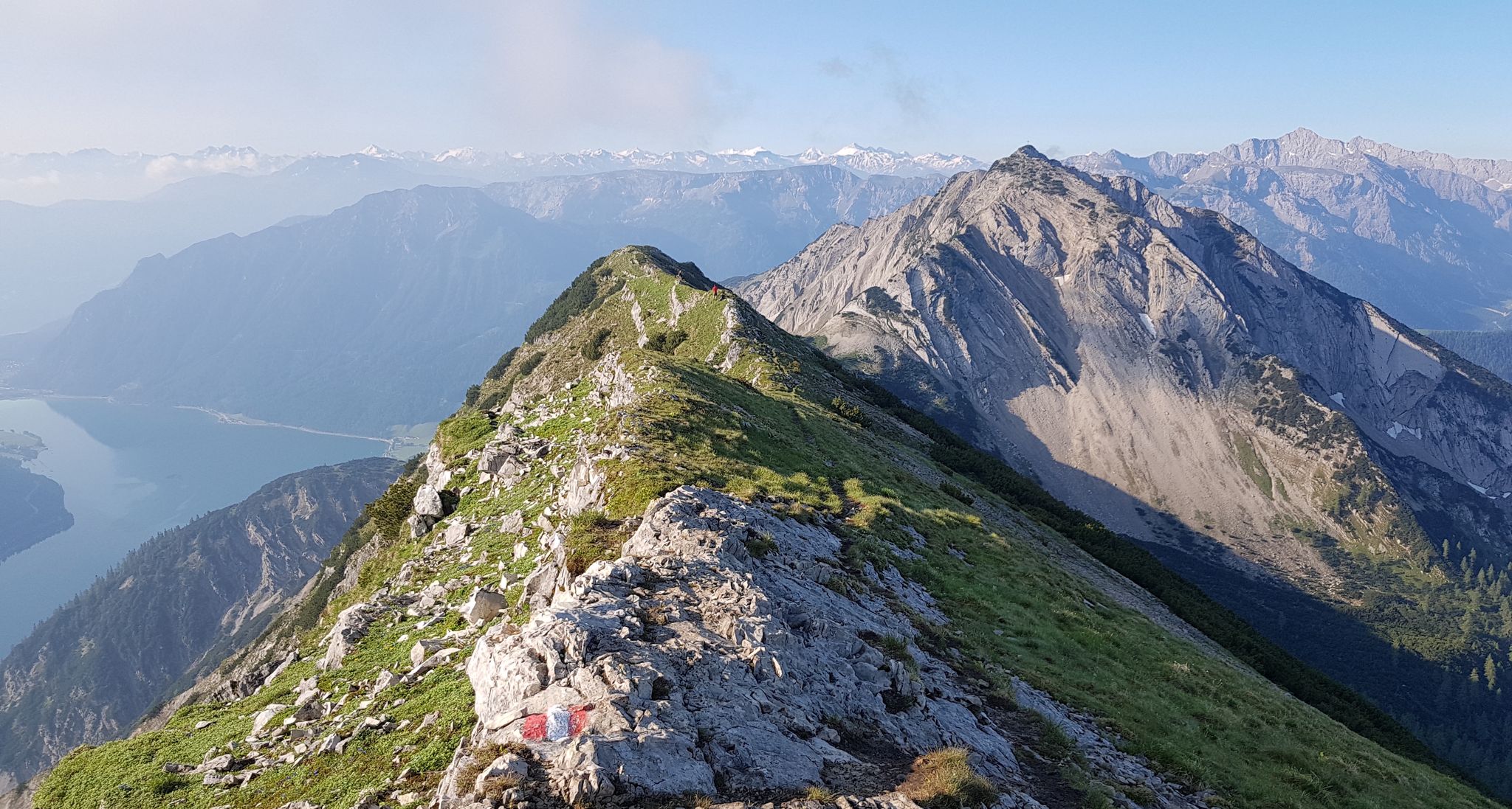
타이롤의 놀라운 십일꼭대기 걸음걸이 일곱
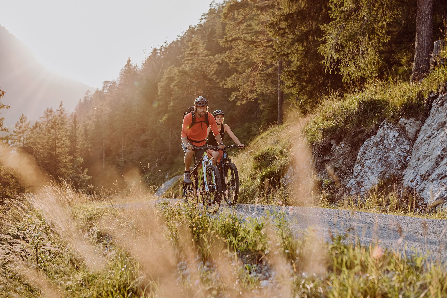
Alpine panorama and mountain huts – nature biking in Germany’s Allgäu
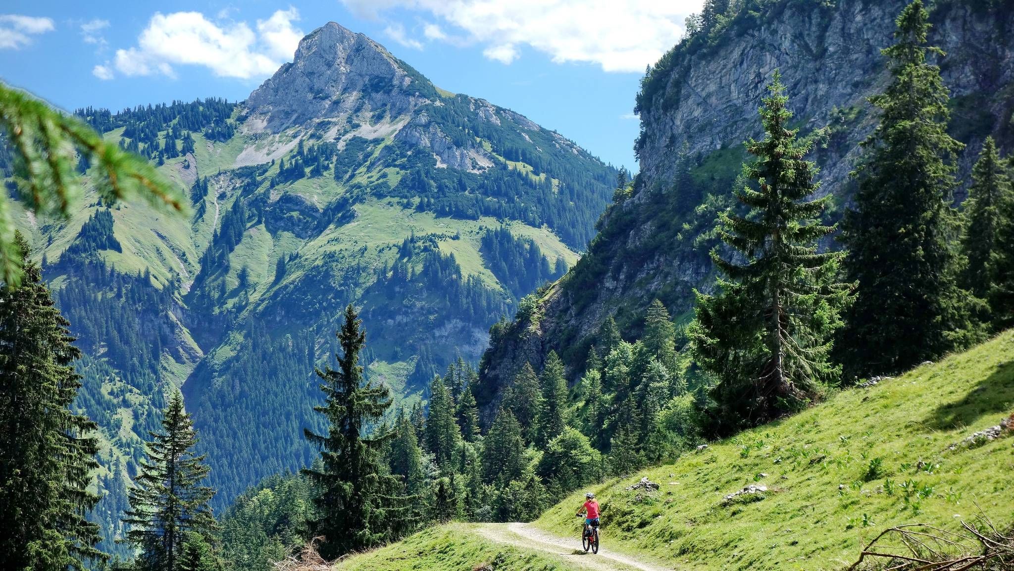
MTB fun around Austria’s Tannheim Valley
엘멘 주변의 다른 모험


커뮤니티 팁

힌터호른바흐에서 바라보는 호흐보겔 파노라마는 레히탈 전체에서 가장 인상적인 광경 중 하나입니다. 호흐보겔(2.592m)의 독특한 피라미드 모양의 암석은 고요한 계곡 끝에 장엄하게 솟아 있으며 시야 전체를 압도합니다. 알프스 알고이의 알프스 야생을 인상적으로 경험하게 해주는 멋진 사진 촬영지입니다.
0
0

우리는 목요일에도 어떻게든 연락이 닿아 머물 수 있었습니다. 식수는 무료입니다. 배낭을 넣을 큰 봉투가 필요했는데, 3유로에 샀습니다. 위생 관리도 잘 되어 있고 화장실도 매우 깨끗하게 사용되고 있습니다. 양심적이고 조용하며 멋진 산장입니다. 꼭 다시 가고 싶습니다.
0
0

From a small pulpit next to the path you have an interesting view into the Hornbach valley
0
0
By August 2025, the Kalte Winkel will be completely snow-free, except for a tiny remnant at the end of the cirque. It's hard to imagine that there was a glacier here in the 19th century...
2
0
"Covered" band under a secondary peak of the Hochvogel, from here you can also see the "layering" of the mountain
0
0

Self-catering hut of the DAV Allgäu-Immenstadt section. Open on summer weekends.
1
0

You definitely have to come in! Not just from the outside, but simply immerse yourself in the interior.
0
0


더 살펴보기
다른 지역의 최고의 산악 하이킹 & 경로를 살펴보세요.
