조블렌 최고의 등산 경로
4.8
(3234)
18,817
등산객
356
하이킹
조블렌에서 하이킹하며 루테 구석 부분까지 살펴볼까요? 조블렌에 있는 모든 하이킹 및 워킹 경로 컬렉션 중 가장 멋진 하이킹 경로를 엄선하여 소개해드릴게요. 다른 하이커가 공유한 실제 팁과 사진을 살펴보고 후기를 읽으며 마음에 드는 조블렌 워킹 경로를 찾아보세요.
마지막 업데이트: 10월 5, 2026
4.9
(31)
133
등산객
9.61km
04:45
860m
860m
어려운 등산 코스. 좋은 체력 필요. 튼튼한 신발을 신고 미끄러지지 않게 조심해야 하며, 높은 산을 오른 경험이 있어야 함.
4.9
(15)
190
등산객
12.7km
05:55
990m
990m
어려운 등산 코스. 우수한 체력 필요. 튼튼한 신발을 신고 미끄러지지 않게 조심해야 하며, 높은 산을 오른 경험이 있어야 함.

4.9
(22)
109
등산객
12.5km
04:36
650m
650m
보통 등산 코스. 좋은 체력 필요. 대부분 갈 수 있는 길. 미끄러지지 않게 조심해야 함.
5.0
(14)
97
등산객
10.9km
05:31
980m
980m
어려운 등산 코스. 우수한 체력 필요. 튼튼한 신발을 신고 미끄러지지 않게 조심해야 하며, 높은 산을 오른 경험이 있어야 함.
4.9
(11)
51
등산객
13.2km
05:42
940m
940m
어려운 등산 코스. 우수한 체력 필요. 대부분 갈 수 있는 길. 미끄러지지 않게 조심해야 함.
더 다양한 경로와 다른 탐험가들의 추천을 살펴보세요.
이미 komoot 계정이 있나요?
투어 추천은 다른 사람들이 komoot에서 완료한 수천 개의 활동을 바탕으로 구성되어 있습니다.



커뮤니티 팁


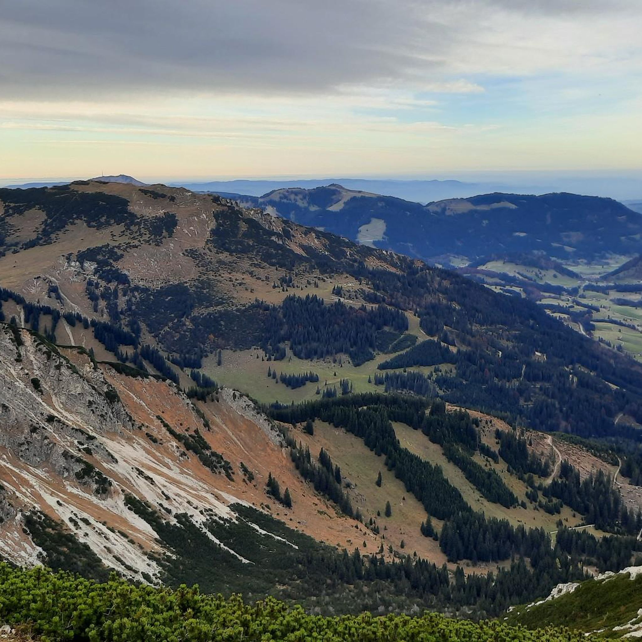
A great place to hike: an airy but never exposed path over the ridge between Bschießer and Ponten with great views in all directions + a rapid view down into the entire Hintersteiner valley.
0
0

The Schönkahler peak in the Tannheimer Mountains captivates with its wonderful views of the Allgäu mountains. It is also considered an easily accessible destination. From the parking lot in the Achental valley between Pfronten and Grän, the summit can be reached within 2.5 hours. The ascent is along wide forest roads and, from the Pfrontner Alpe, along smaller paths. The terrain is gentle up to the highest point. The only drawback to this scenic tour is the long section on the forest road, which leads through young forest. The low trees provide little shade, so it can get very hot on the road in summer. Source: https://www.hoehenrausch.de/berge/schoenkahler/
1
0

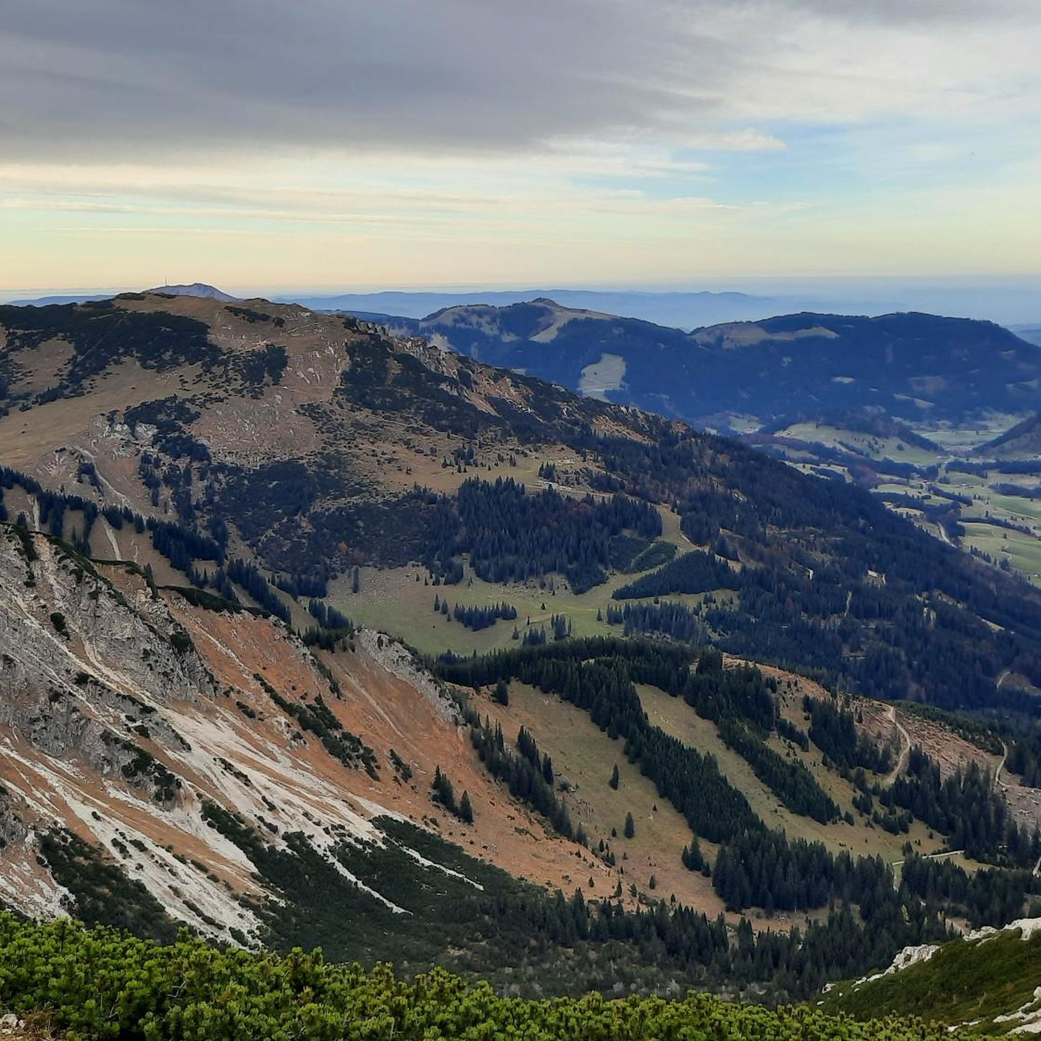
Beautiful views from the Pirschling (1634 m) – which, however, lacks a summit cross – over to the Schönkahler and down to the alpine meadows of the Pfrontner Alpe. The view extends as far as Pfronten. From here, there are also views of Thannheim's local mountain, the Einstein, and the Aggenstein.
1
0
The Pirschling is a grassy mountain without a summit cross, offering excellent views of the surrounding mountains, including the Einstein, Aggenstein, and Breitenberg. The neighboring Schönkaler is not far away. Below lies the Schönkahler Alm on a plateau. The mountain is easy to climb.
1
0


더 살펴보기
다른 지역의 최고의 산악 하이킹 & 경로를 살펴보세요.
