4.5
(32150)
339,789
자전거 타는 사람
2,537
라이딩
트렌티노에서 하이킹하며 이탈리아 구석 부분까지 살펴볼까요? 트렌티노에 있는 모든 하이킹 및 워킹 경로 컬렉션 중 가장 멋진 하이킹 경로를 엄선하여 소개해드릴게요. 다른 하이커가 공유한 실제 팁과 사진을 살펴보고 후기를 읽으며 마음에 드는 트렌티노 워킹 경로를 찾아보세요.
마지막 업데이트: 8월 10, 2026
4.7
(559)
4,629
자전거 타는 사람
63.6km
04:15
920m
920m
Prepare for a difficult touring bicycle ride on the Tour of Alto Garda for the Limarò Canyon and the Sarca Valley, covering 39.5 miles (63.6 km) with a significant climb of 3021 feet (921 metres). This ring tour typically takes about 4 hours and 15 minutes to complete. You will experience diverse terrain, from the unique green-turquoise waters of Lago di Tenno to panoramic mountain views and lush forests. The route includes a demanding uphill section to Lago di Tenno and over the Ballino Pass, followed by descents that may include gravel paths.
While the route often starts from Riva del Garda, it is a ring tour, so you can begin at various points. Much of the tour utilizes dedicated cycle paths, especially through the impressive Limarò Gorge and along the Sarca Valley. Be aware that some segments, particularly on the descent from Passo Ballino, might be unpaved or gravel, even though many surfaces are paved. The Sarca Valley cycle path is generally flat and easy, offering a more relaxed segment of the journey.
This tour is notable for its striking contrast between the Mediterranean-like shores of Lake Garda and more alpine environments. The Limarò Gorge is a standout feature, with a cycle path offering spectacular views of the canyon carved by the Sarca River, often described as one of Italy's most beautiful. The Sarca Valley itself is characterized by orchards, vineyards, and picturesque towns like Arco, providing a beautiful path along the river. This challenging yet rewarding route offers diverse topography and dramatic views.
4.5
(463)
2,100
자전거 타는 사람
29.2km
01:52
290m
290m
보통 자전거 타기. 좋은 체력 필요. 대부분 포장된 지면. 실력과 관계없이 누구나 갈 수 있음.

무료 회원 가입
4.7
(246)
1,093
자전거 타는 사람
26.9km
01:37
170m
170m
Embark on the Garda Sarca Loop, a moderate touring cycling route that guides you through the picturesque landscapes of Garda Trentino. This 16.7-mile (26.9 km) journey features a gentle elevation gain of 573 feet (175 metres), offering a pleasant ride without strenuous climbs. As you pedal, you will pass through expansive apple orchards, vineyards, and olive groves, with the Sarca River often flowing alongside you. Keep an eye out for the historic Roman Bridge over the Sarca River, a notable landmark on your ride, as you complete the loop in about 1 hour and 36 minutes.
Planning your visit is straightforward, as this touring cycling route primarily uses paved cycle paths and quiet side roads, making it suitable for various bicycle types. While the terrain is mostly flat, you might encounter some gentle rises along the way. The mild climate of Garda Trentino means you can enjoy this route year-round, offering flexibility for your trip. Consider starting your ride in the morning to experience the tranquility of the region before it gets too busy.
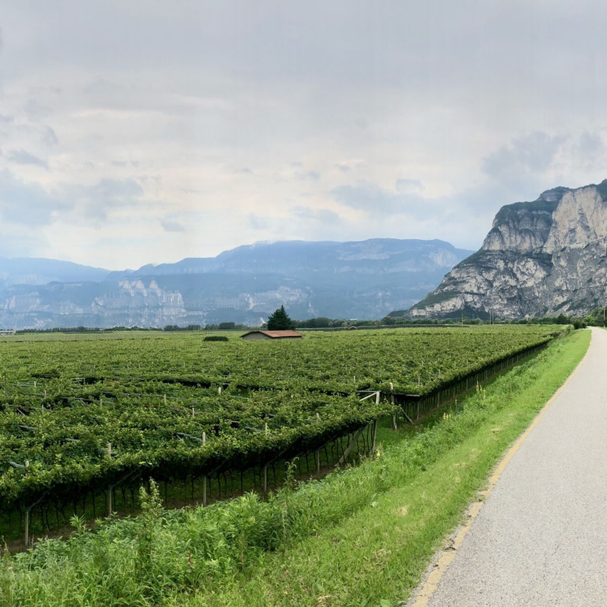
The Garda Sarca Loop provides a unique glimpse into the local culture and natural beauty of the area. You will have the chance to explore the charming Arco Old Town, which offers a delightful stop for a break or some sightseeing. The route also presents views of the impressive Marocche, a distinctive post-glacial landscape that adds a geological marvel to your cycling experience. This trail stands out for its blend of agricultural scenery, historical sites, and natural wonders.
4.6
(304)
1,769
자전거 타는 사람
32.2km
02:11
490m
500m
어려운 자전거 타기. 우수한 체력 필요. 대부분 포장된 지면. 실력과 관계없이 누구나 갈 수 있음.
4.4
(110)
1,257
자전거 타는 사람
44.3km
02:43
360m
360m
The "Trento and the Adige Valley" route offers a moderate touring bicycle experience, covering 27.5 miles (44.3 km) with 1190 feet (363 metres) of elevation gain, typically taking 2 hours and 43 minutes. You'll cycle along the Adige River on predominantly flat, well-paved paths, enjoying views of extensive vineyards and apple orchards. Mountains provide a scenic backdrop as you pass through picturesque villages and historic towns like Trento. The smooth asphalt surface ensures an enjoyable ride, largely protected from traffic. You can expect a pleasant journey through diverse landscapes.
The Adige Valley Cycle Path is well-signed, making navigation straightforward. You'll find "Bicigrill" refreshment points conveniently located along the way, offering food, drinks, information, and even minor bike maintenance. For added flexibility, you can transport your bicycle on regional trains, which is useful for longer tours or returning to your starting point. This makes planning your touring bicycle trip quite convenient.
This trail is the longest cycle path within Trentino, connecting Bolzano to Verona, and is an integral part of the EuroVelo 7, also known as the "Sun Route." It also traces parts of the historic Via Claudia Augusta, an ancient Roman road. Beyond the natural beauty, the route provides access to cultural attractions like MUSE in Trento and impressive castles such as Castel Beseno.
4.8
(516)
6,752
자전거 타는 사람
26.8km
02:13
800m
800m
어려운 자전거 타기. 우수한 체력 필요. 대부분 포장된 지면. 실력과 관계없이 누구나 갈 수 있음.
4.7
(43)
680
자전거 타는 사람
94.4km
06:12
1,210m
1,210m
This difficult 58.7-mile touring bicycle route through Valle del Sarca and Vallagarina offers diverse scenery and a significant challenge.
4.2
(104)
572
자전거 타는 사람
42.9km
03:16
870m
870m
This difficult 26.7-mile touring cycling loop combines the scenic Valsugana Cycle Path with challenging climbs to Arte Sella's open-air art
4.7
(1083)
6,222
자전거 타는 사람
77.1km
04:35
380m
380m
보통 자전거 타기. 좋은 체력 필요. 대부분 포장된 지면. 실력과 관계없이 누구나 갈 수 있음.
4.7
(1155)
6,637
자전거 타는 사람
86.0km
05:12
550m
550m
어려운 자전거 타기. 우수한 체력 필요. 대부분 포장된 지면. 실력과 관계없이 누구나 갈 수 있음.
더 다양한 경로와 다른 탐험가들의 추천을 살펴보세요.
무료 회원 가입
이미 komoot 계정이 있나요?
투어 추천은 다른 사람들이 komoot에서 완료한 수천 개의 활동을 바탕으로 구성되어 있습니다.
오늘 무료 계정으로 시작하세요
다음 모험이 기다리고 있어요.
로그인 또는 가입하기
로드 바이크로도 가능하지만 그래블 바이크나 산악자전거가 더 쉽습니다.
0
0
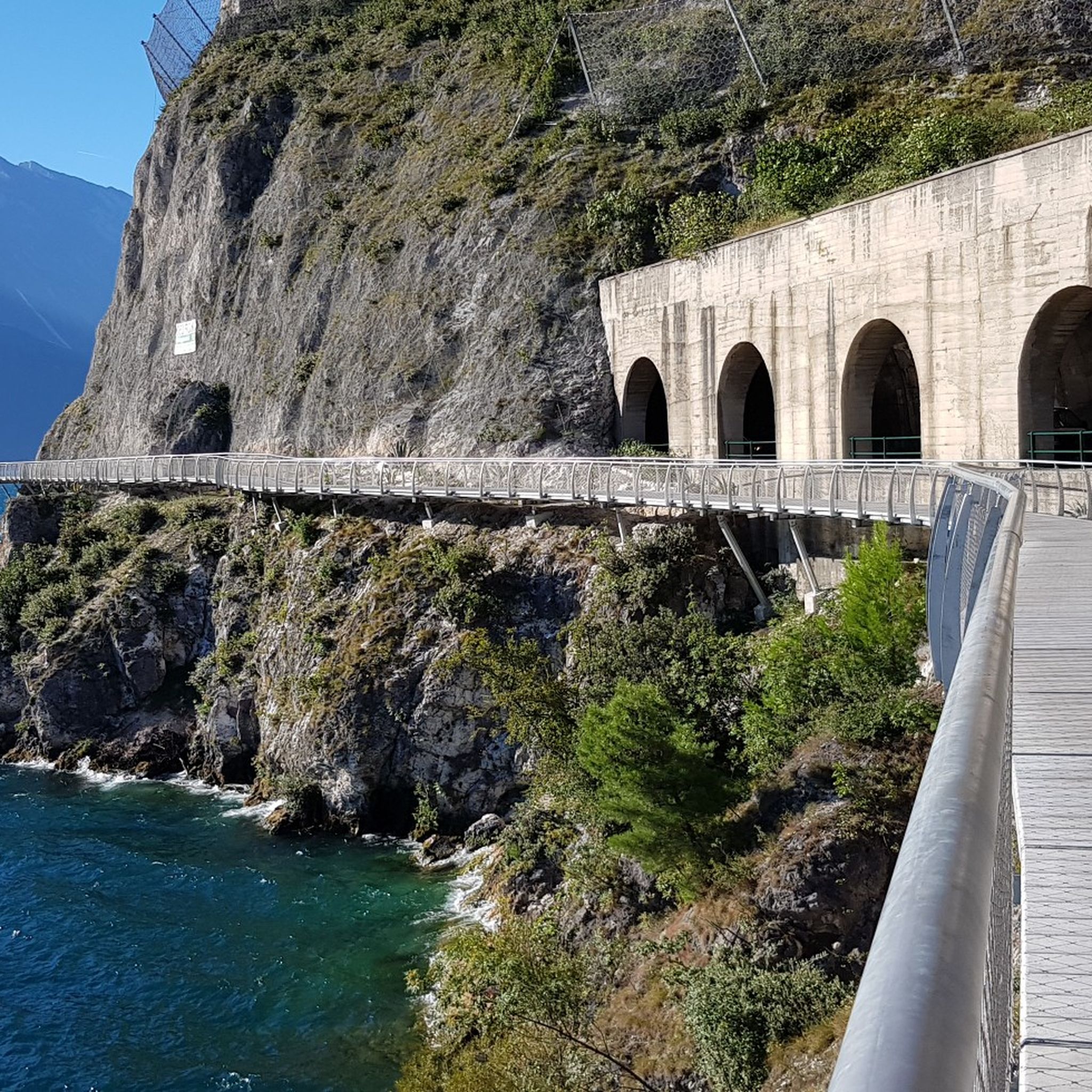
완공되어 사이클리스트들이 국도의 터널을 교통 체증 속에서 통과해야 하는 의무에서 벗어나면 확실히 장관이 될 것입니다!
0
0
이 건물은 두 부분으로 구성되어 있으며, 앞부분이 더 오래된 건축물입니다. 오늘날의 시청 건물은 동쪽과 서쪽 입구에 새겨진 연도에서 알 수 있듯이 1697년에 지어졌으며, 원래는 지하층에 아치형 천장이 있는 곳에 세관이 있었고, 첫 번째 층에는 전당포의 두 개의 방, 시의회 회의실, 작은 기록 보관소가 있었습니다. 1713년에 이 건물은 끔찍한 화재로 소실되었습니다. 18세기 후반(동쪽 벽의 창문에 1786이라는 연도가 보입니다)에 건물은 뒷부분이 추가되어 확장되었습니다. 19세기 후반에 증축되면서 시청은 오늘날의 모습을 갖추게 되었습니다. 출처: 안내판
5
0
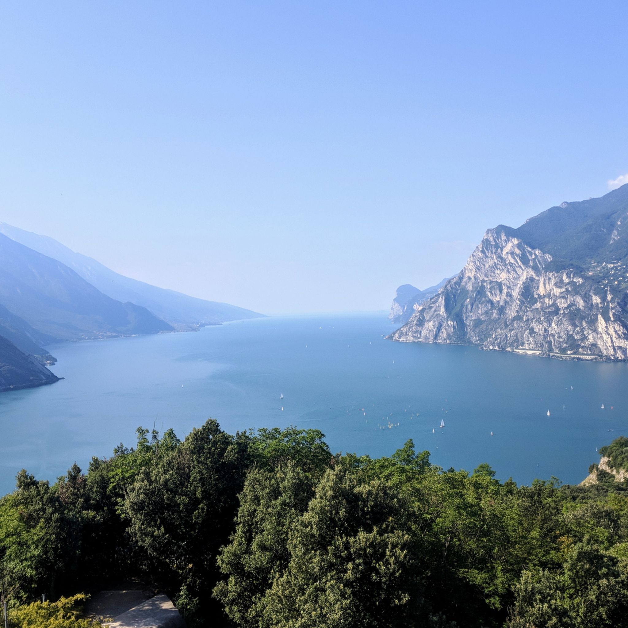
몇 개의 지그재그 구간을 올라갑니다. 모두 할 만하고 👍🏼 호수 너머로 계속해서 아름다운 전망이 펼쳐집니다 🤩
4
0
It's right next to the bike path, and it's a very beautiful church! A little further on, there's also a drinking fountain!
0
0
트렌티노에서 더 많은 자전거 경로를 확인하고 목적지에서 완벽한 경로를 찾아보세요.
다른 지역의 최고의 자전거 경로를 살펴보세요.