경로

플래너

기능

업데이트

App

로그인 또는 가입

앱 다운로드

로그인 또는 가입

경로
하이킹
독일
바이에른
스와비아
아우크스부르크

베링겐

베링겐 최고의 워킹 & 하이킹 경로

4.6

(3666)

17,705

등산객

19

하이킹

정확한 경로를 찾는 것이 때로는 어렵지만 베링겐에서 하이킹을 하면 다양한 경치를 마음껏 감상할 수 있답니다. 베링겐에서 가장 멋진 하이킹과 워킹 중에서 마음에 드는 활동을 시작해보세요.

마지막 업데이트: 8월 7, 2026

4.5

(2)

35

등산객

#1.

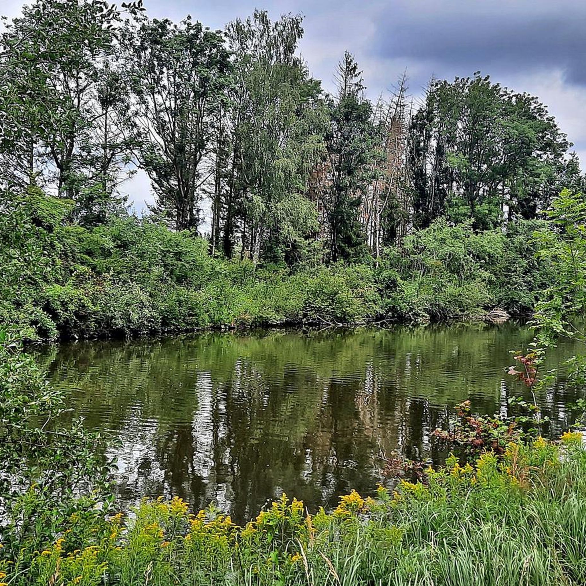
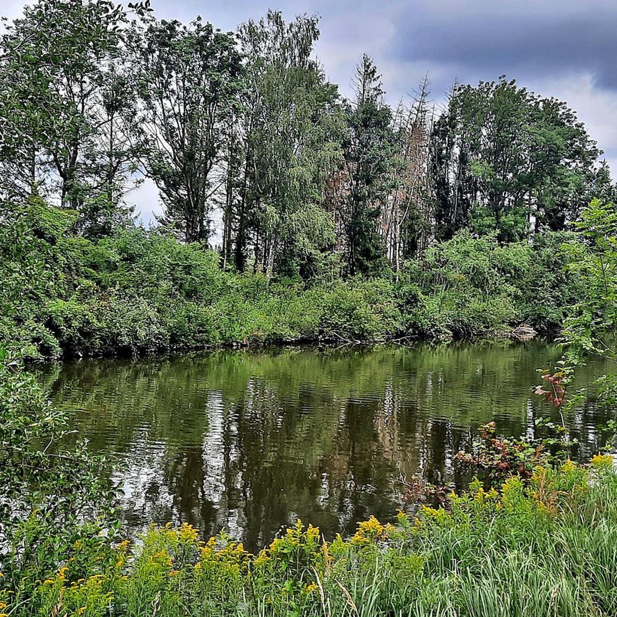
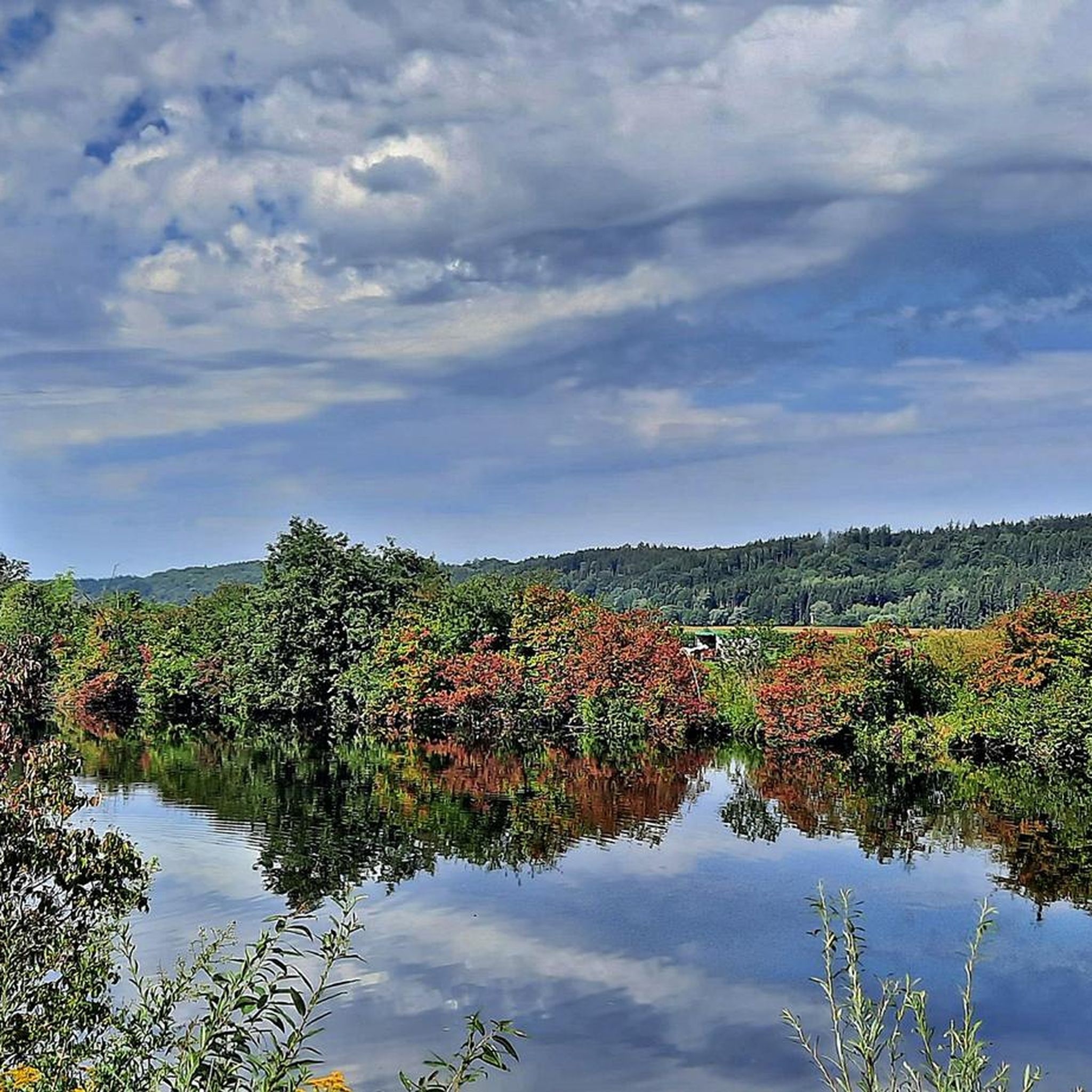
Wehringen에서 출발하는 베어타흐 강가의 벤치 순환 코스

5.47km

01:24

20m

20m

초급용 하이킹. 모든 체력 수준에 적합. 실력과 관계없이 누구나 쉽게 갈 수 있는 길.

기기에서 길안내

휴대폰으로 전송

저장

초급

초급용 하이킹. 모든 체력 수준에 적합. 실력과 관계없이 누구나 쉽게 갈 수 있는 길.

초급
guide_signup
저희가 komoot 모바일 앱로 길을 안내해 드리겠습니다.
무료 komoot 계정로 끝없는 야외 모험을 손쉽게 찾고, 맞춤 설정하며 길안내할 수 있어요.

무료 회원 가입

초급용 하이킹. 모든 체력 수준에 적합. 실력과 관계없이 누구나 쉽게 갈 수 있는 길.

초급

초급용 하이킹. 모든 체력 수준에 적합. 실력과 관계없이 누구나 쉽게 갈 수 있는 길.

초급

초급용 하이킹. 모든 체력 수준에 적합. 실력과 관계없이 누구나 쉽게 갈 수 있는 길.

초급
무료 회원 가입 후 베링겐 주변 하이킹 경로를 15개 더 확인하세요

더 다양한 경로와 다른 탐험가들의 추천을 살펴보세요.

무료 회원 가입

이미 komoot 계정이 있나요?

투어 추천은 다른 사람들이 komoot에서 완료한 수천 개의 활동을 바탕으로 구성되어 있습니다.

오늘 무료 계정으로 시작하세요

다음 모험이 기다리고 있어요.
로그인 또는 가입하기

베링겐 주변 인기 장소

베링겐 로드 사이클링 경로

베링겐 MTB 트레일

베링겐 주변 그래블 라이딩

베링겐 사이클링

베링겐 러닝 트레일

커뮤니티 팁

Anita/Awa🐕 Und Bianca
4월 24, 2026, Brunnen bei der Bunkeranlage

아름다운 장소... 훌륭한 길과 흥미로운 역사... 여름에는 발 담그는 풀장도 있습니다

번역: Google

0

0

Children love to rest and splash around here.

번역: Google

0

0

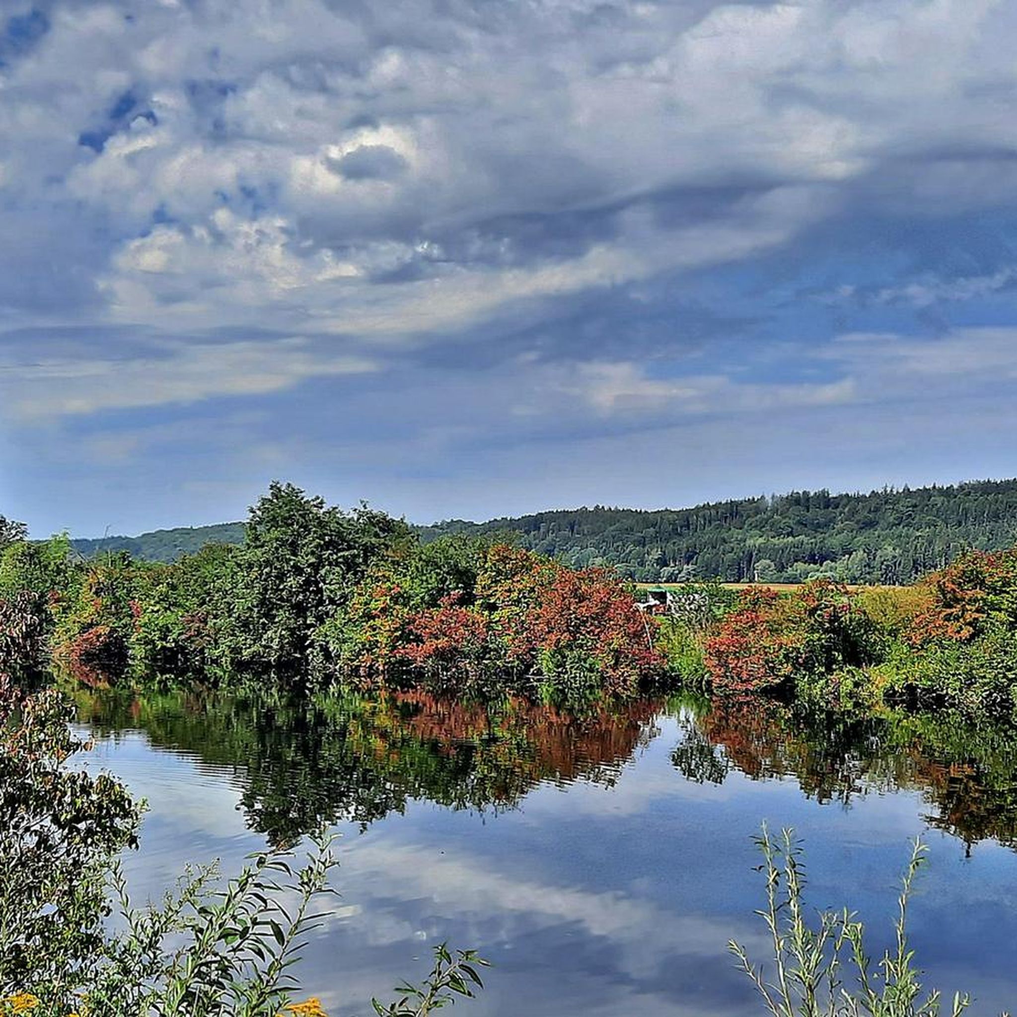
Seating on the Wertach

번역: Google

0

0

Dynamit AG armaments factory

번역: Google

0

0

Interesting excursion into history!

번역: Google

0

0

The Wertach is a 150.9 km long tributary of the Lech in Bavaria. Historically, it was known for frequent flooding, especially in the Augsburg area. In order to improve flood protection, dams were built from 1856 onwards, which significantly reduced the risk of flooding. These dams not only serve to protect against flooding, but are also important components of the “Wertachauen biotope network” nature conservation project. They connect various habitats along the Wertach and provide a valuable habitat for numerous animal and plant species. Maintaining the dams is essential for their functionality and the preservation of biodiversity. LEW Wasserkraft, operator of several hydroelectric power plants on the Wertach, regularly carries out mowing work. These measures prevent the areas from becoming overgrown and promote the development of species-rich meadows. Attention is paid to preserving flower strips, which serve as a source of food and habitat for insects. In addition, renaturation measures were carried out as part of the “Wertach vital” project to return the Wertach to a near-natural state. Banks were flattened, the river width increased and new habitats created. These measures not only contribute to flood protection, but also increase the attractiveness of the Wertach as a local recreation area. The dams along the Wertach are therefore a successful example of the combination of flood protection and nature conservation, which benefits both the safety of residents and biodiversity.

번역: Google

1

0

Pingen are funnel-shaped depressions in the terrain that were created by the near-surface mining of mineral resources such as ore or coal. These pits are the remains of historical mining activities in which the ore was mined directly on the surface or at a shallow depth. The miners followed the ore veins into the depths as far as was possible with simple means. When open-cast mining was no longer possible, the miners followed the ore veins into the interior of the mountains, sunk shafts (small shafts) and drove tunnels. There are several such historical pinge pits near Augsburg, particularly in the area of the Augsburg - Western Forests Nature Park. These relics of mining are now often covered by forest and offer interesting insights into the regional history of ore mining. Hiking trails, such as the St. James Pilgrimage Route from Augsburg to Reinhartshofen, lead past such pinge pits and enable hikers to discover these historical sites. For those interested, museums such as the Altenberg Mining Museum offer special tours of the pits, during which the origins and significance of these pits are explained. Such tours provide a vivid picture of historical mining and its impact on the landscape. The pits are not only evidence of past mining activities, but also valuable biotopes that provide a habitat for various plant and animal species. They are therefore important from both a historical and an ecological point of view.

번역: Google

2

0

The region around Wehringen is ideal for hikes along the Wertach. A particularly recommended route leads through the Wertach valley near Wehringen, past idyllic places such as the bank idyll on the Wertach and the Turmkopf natural forest reserve. This route offers varied landscapes and is suitable for all fitness levels.

번역: Google

1

0

베링겐 주변에서 가장 인기 있는 경로

베링겐 로드 사이클링 경로

베링겐 주변에서 가장 인기 있는 명소

Places to see

Store rating

komoot 모바일 앱으로 영감을 받아보세요

무료 komoot 계정로 끝없는 야외 모험을 손쉽게 찾고, 맞춤 설정하며 길안내할 수 있어요.

또는

지금 komoot에 가입하세요

Store rating

더 살펴보기

다른 지역의 최고의 하이킹를 살펴보세요.

보빙겐라우허 숲게서르트하우젠웰든Stadtwald Augsburg노이사스주스마르하우젠슈바브뮌헨디도르프쿠시쾨니히스브룬게르스토펜슈타트베르겐힐텐핑겐티에하우텐딩켈셰르벤호르가우일제마이팅겐알만쇼펜Haunstetter Wald아이스테텐미텔노이프나흐피샤흐볼프자나우로스제가블링겐셰르슈테텐믹하우젠알텐뮌스터그로사이팅겐랑바이드 암 레흐비베르바흐클라이나이팅겐랑엔네프나흐그라벤지벤티슈발트에머자커슈멜러포스트Trinkwasserschutzgebiet Augsburger Stadtwald엘가우아델스리드클로스터레흐펠트미정노르덴도르프퀼렌탈오베로트마르하우젠랑게링겐헤레츠리드워커트쇼펜우스터스바흐쿠첸하우젠아우토반제

근처 어드벤처 가이드

보빙겐 즐길거리

background

새로운 정복을 위한 준비를 하세요

무료로 가입하기

탐험하기
경로경로 플래너기능바우처 사용하이킹MTB 트레일로드 사이클링 경로바이크패킹사이트맵
앱 다운로드
소셜 미디어에서 팔로우하기

© komoot GmbH

개인 정보 보호 정책