발두펜 최고의 MTB 라이딩 경로
4.7
(63)
295
자전거 타는 사람
60
라이딩
발두펜에서 산악자전거 라이딩을 하면 다양한 경치를 감상할 수 있어요. 어디서 출발해야 할지 모르겠다고요? 지금부터 발두펜 최고의 MTB 경로를 찾을 수 있도록 가장 멋진 라이딩 장소를 소개해드릴게요!
마지막 업데이트: 10월 12, 2026
4.8
(16)
45
자전거 타는 사람
22.7km
01:23
90m
90m
초급용 산악자전거 라이딩. 모든 체력 수준에 적합. 실력과 관계없이 누구나 갈 수 있음.
4.9
(9)
36
자전거 타는 사람
22.4km
01:26
80m
80m
초급용 산악자전거 라이딩. 모든 체력 수준에 적합. 실력과 관계없이 누구나 갈 수 있음.

7
자전거 타는 사람
38.0km
02:46
450m
450m
보통 산악 자전거 타기. 좋은 체력 필요. 실력과 관계없이 누구나 갈 수 있음.
5.0
(1)
5
자전거 타는 사람
38.9km
02:56
470m
470m
보통 산악 자전거 타기. 좋은 체력 필요. 실력과 관계없이 누구나 갈 수 있음.
4.0
(1)
5
자전거 타는 사람
44.0km
02:41
330m
330m
보통 산악 자전거 타기. 좋은 체력 필요. 실력과 관계없이 누구나 갈 수 있음.
더 다양한 경로와 다른 탐험가들의 추천을 살펴보세요.
이미 komoot 계정이 있나요?
투어 추천은 다른 사람들이 komoot에서 완료한 수천 개의 활동을 바탕으로 구성되어 있습니다.
오늘 무료 계정으로 시작하세요
다음 모험이 기다리고 있어요.
커뮤니티 팁

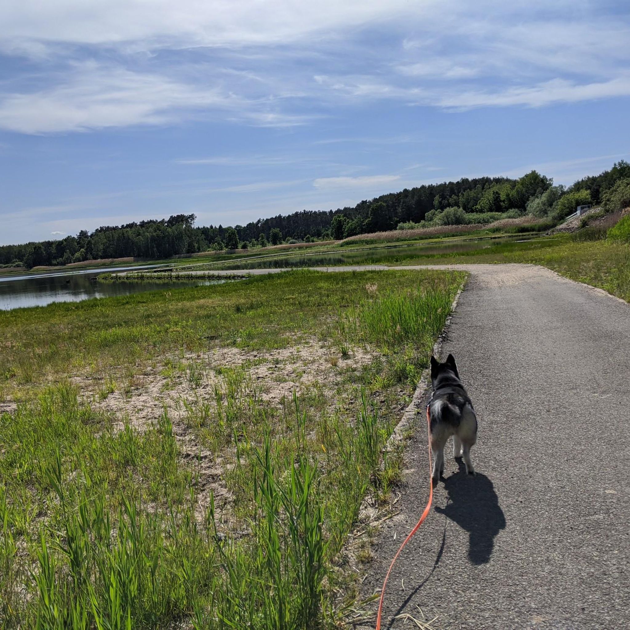
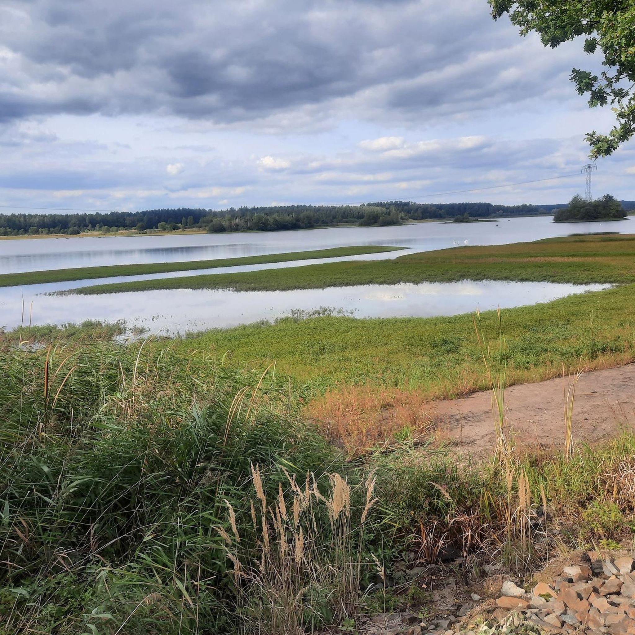
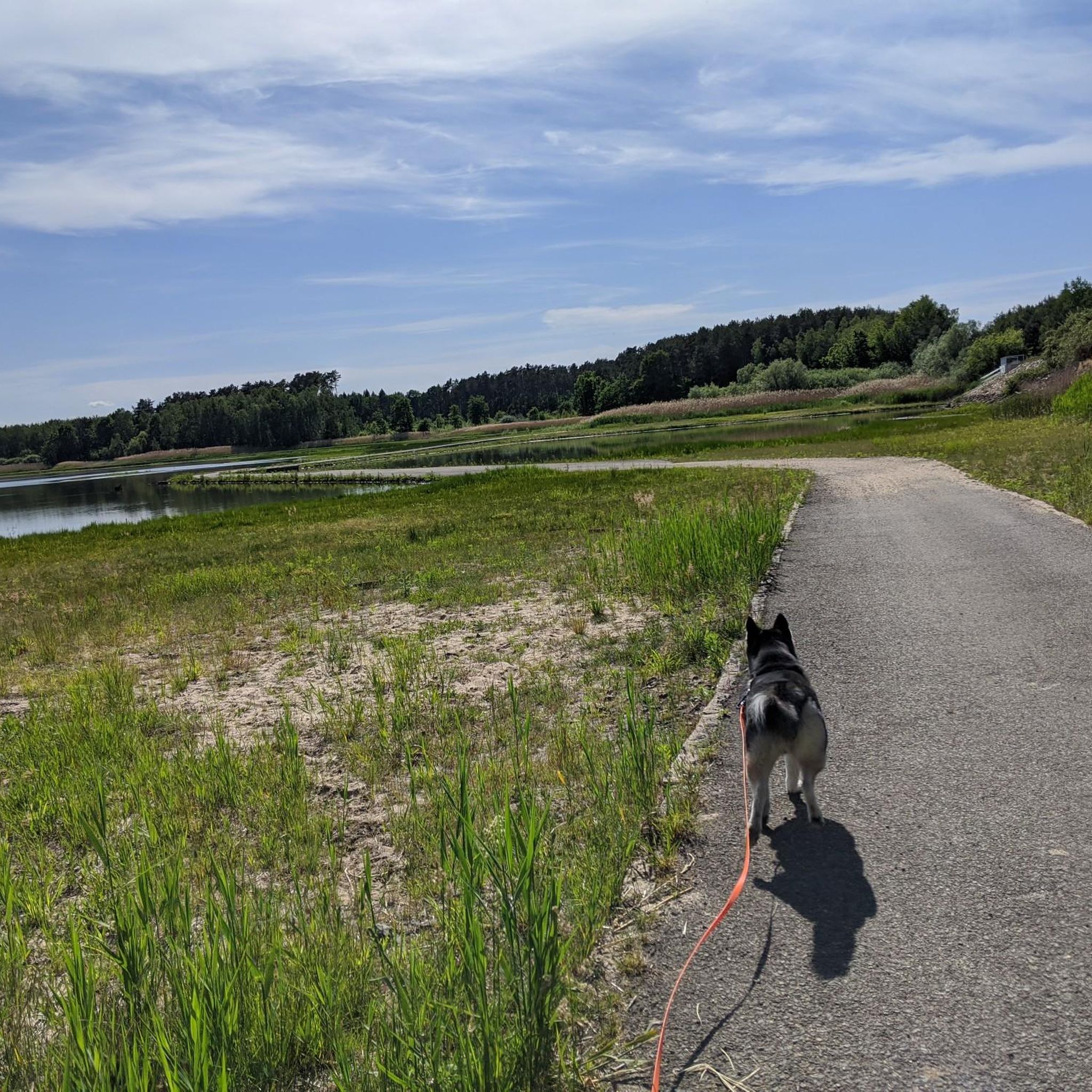
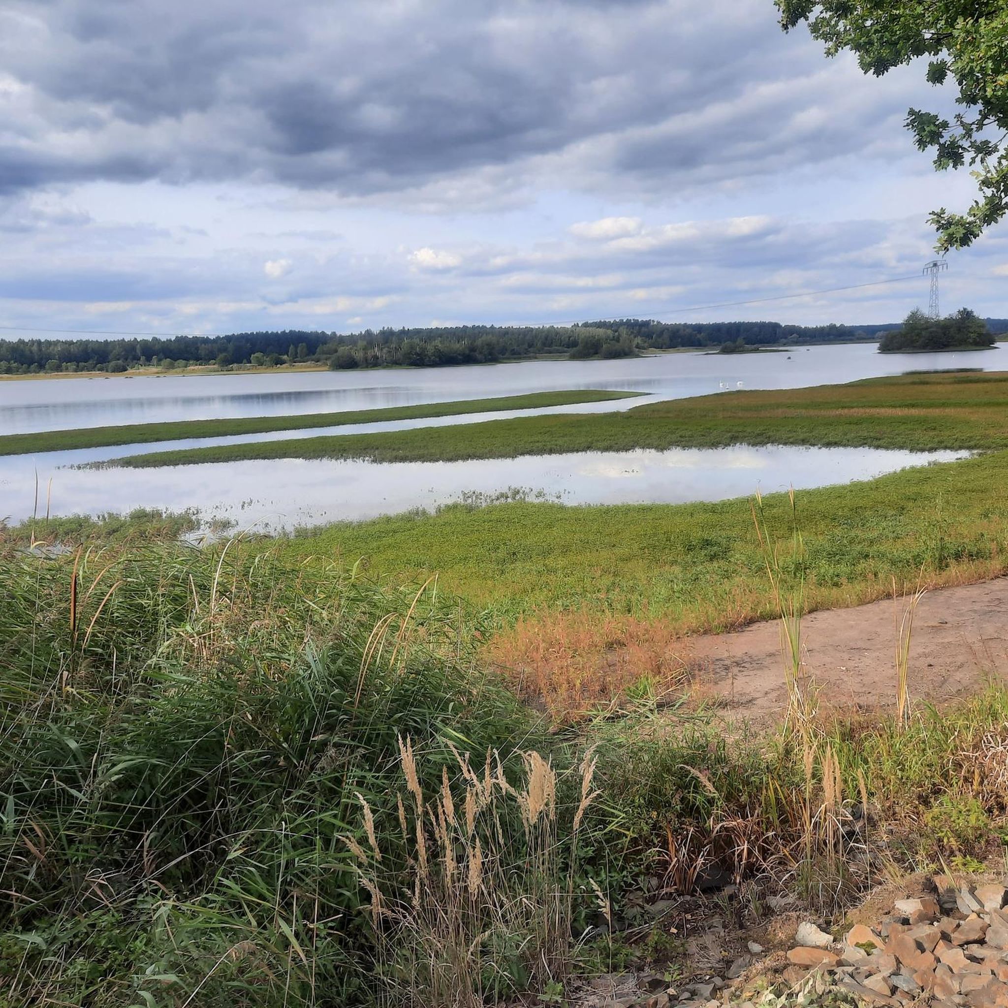
호수 주변의 편안한 길, 일부는 숲을 통과하고 일부는 아스팔트 자전거 도로를 따라갑니다. 7월 말에는 길가에 맛있는 블랙베리와 크랜베리가 많이 있습니다. 이때 호수의 물에는 남세균이 가득해서 수영을 할 수 없었습니다.
0
0


On September 1, 1847, the first trains of the Lower Silesian-Marcher Railway crossed the newly completed Neisse Viaduct, a 475-meter-long and 35-meter-high structure, from Kohlfurt. Spanning the Neisse Valley with 30 arches, the viaduct also marked the completion of the Dresden-Görlitz line of the Saxon-Silesian Railway, thus establishing a rail connection to Saxony. Its size is unparalleled in Lower Silesia. The total amount of stone required and delivered for the construction of the Görlitz Viaduct was 1,322,255 cubic feet – equivalent to 37,442 cubic meters. The viaduct's architect was Gustav Kießler. Görlitz owes Kießler not only the Neisse Viaduct but also his involvement in the construction of the city's first train station and theater. About the person: Gustav Kießler, architect and politician, born May 12, 1807, in Görlitz; died 1883; full name: Gustav Julius Gotthelf Kießler https://de.wikipedia.org/wiki/Nei%C3%9Fevia
0
0
The Königshain Hills (Upper Sorbian: Limas) are located in the eastern part of Upper Lusatia, west of the city of Görlitz in the Görlitz district. They lie north and south of the municipality of Königshain, from which they take their name, and comprise an extensive, approximately 50 km² area of mostly forested granite. The main elevations are the Kämpferberge (415 m above sea level) in the south, culminating at the Ahlberg, the well-known Hochstein (397.2 m above sea level) in the north, and the Hutberg in the (south)west. ``` View of the Königshain Hills Quarry lake in the Königshain Hills In the natural regional classification of Saxony, they are assigned to the macrogeochore Eastern Upper Lusatia (11), the mesogeochore Königshain Hills and Mountains (11013), and the two microgeochore Kämpferberg Ridge (including Hochstein) and Eichberg-Hutberg Ridge.[1] The entire Königshain Hills have been a protected landscape area since 1974. A bird sanctuary is located in part (Elysium) of the former Firsten quarry. https://de.wikipedia.org
0
0


A beautiful lake surrounded by well-maintained cycle paths.
0
0

The Old Town Bridge was the first fortified Neisse crossing in the city of Görlitz. Until 1945, it connected Görlitz's Old Town with the eastern suburbs in various forms. After the demolition of the 1907 half-timbered arch bridge shortly before the end of World War II and the subsequent division of the city into German and Polish parts, only the stone abutments on both banks remained as a reminder of the bridge. In 2004, a new pedestrian bridge was opened over the Lusatian Neisse between Görlitz on the German side and Zgorzelec on the Polish side. The arch bridge has a span of approximately 80 meters and is intended to be a symbol of a Europe growing together and the reunification of urban districts. (from Wikipedia)
4
0

The viaduct is 475 m long and was put into operation in 1847 with the railway line from Görlitz to Kohlfurt. More about the history at: https://de.m.wikipedia.org/wiki/Nei%C3%9Feviadukt_(G%C3%B6rlitz)
1
0
발두펜 주변에서 가장 인기 있는 명소


더 살펴보기
다른 지역의 최고의 MTB 트레일를 살펴보세요.
