보더바이덴탈 최고의 워킹 & 하이킹 경로
4.7
(1537)
5,176
등산객
58
하이킹
정확한 경로를 찾는 것이 때로는 어렵지만 보더바이덴탈에서 하이킹을 하면 다양한 경치를 마음껏 감상할 수 있답니다. 보더바이덴탈에서 가장 멋진 하이킹과 워킹 중에서 마음에 드는 활동을 시작해보세요.
마지막 업데이트: 10월 7, 2026
4.8
(1030)
3,207
등산객
14.1km
04:35
440m
440m
보통 하이킹. 좋은 체력 필요. 대부분 갈 수 있는 길. 미끄러지지 않게 조심해야 함.
4.8
(33)
112
등산객
9.45km
02:48
210m
210m
보통 하이킹. 좋은 체력 필요. 대부분 갈 수 있는 길. 미끄러지지 않게 조심해야 함.

4.6
(38)
186
등산객
2.45km
00:43
60m
60m
초급용 하이킹. 모든 체력 수준에 적합. 실력과 관계없이 누구나 쉽게 갈 수 있는 길.
4.7
(27)
84
등산객
4.89km
01:23
100m
100m
초급용 하이킹. 모든 체력 수준에 적합. 실력과 관계없이 누구나 쉽게 갈 수 있는 길.
4.8
(24)
82
등산객
8.90km
02:51
270m
270m
보통 하이킹. 좋은 체력 필요. 대부분 갈 수 있는 길. 미끄러지지 않게 조심해야 함.
더 다양한 경로와 다른 탐험가들의 추천을 살펴보세요.
이미 komoot 계정이 있나요?
투어 추천은 다른 사람들이 komoot에서 완료한 수천 개의 활동을 바탕으로 구성되어 있습니다.
오늘 무료 계정으로 시작하세요
다음 모험이 기다리고 있어요.


커뮤니티 팁

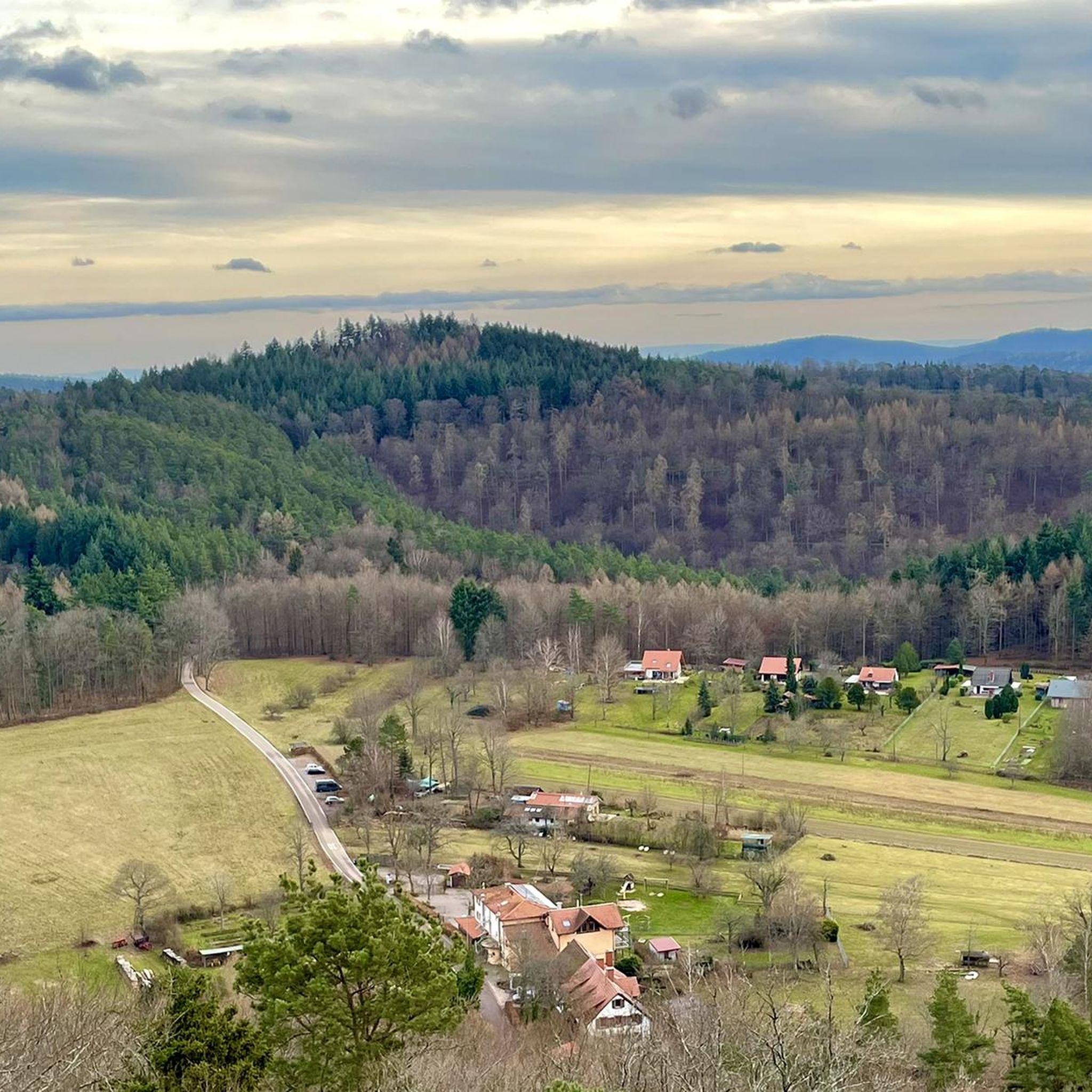
Hauenstein 휴양지의 "Dimbacher Buntsand Höhenweg"에 관광적 확장이 이루어졌습니다. 카이저슬라우테른 기술대학교(TU Kaiserslautern)와의 협력 하에, 라인란트팔츠 자연 및 환경 재단(Stiftung Natur und Umwelt Rheinland-Pfalz)의 지원과 Glücksspirale 기금으로, 지질학적 및 자연 보호적 패널을 갖춘 교육 및 학습 경로로 향상되었습니다. 총 9.8km 길이의 이 하이킹 코스는 특히 암석 지형을 매우 아름다운 방식으로 선보이며, 등산객들은 가파른 경사면과 암석을 따라 이어지는 구간을 통해 사암 지형에 가깝게 다가갈 수 있습니다. 짧은 지선들은 주변 숲 지역의 그림 같은 전망대까지 이어지며, 때로는 라인강 평원까지도 조망할 수 있습니다. 이미 그 자체로 아름다운 이 하이킹 코스는 이제 12개 지점에서 관련 정보를 제공합니다. 예를 들어, Falkenstein에서는 지질학적 기초에 대해, Dimberg에서는 형태와 층상 구조에 대해, Isselmannsteine에서는 지질 구조에 대해 설명합니다.
1
0

K 10 (Lindelbrunn 가장자리)에 있는 이 큰 하이킹 주차장에서 약 500m 거리에 아름다운 Cramerhaus가 있습니다. 또한, 2026년 8월 1일에 새로 개장한 매우 흥미로운 "Klima- und Naturerlebnispfad Silz (Waldrunde)"(실츠 기후 및 자연 체험 트레일 (숲길))을 여기서 시작할 수 있습니다. (이 테마 트레일의 다른 시작점은 Silzer See에 있습니다.)
1
0

슈반하임의 환상적인 전망, 와이어 로프로 확보된 접근로를 통해 도달 가능.
4
0

Secured by a cable, a few meters before the rocky outcrop stands this summit cross… and at the start of the steel cable, somewhat sheltered during the Christmas season, a wooden nativity scene.
8
0
Rocks with a view through them... it's incredible that something like that still stands.
8
0

The Palatinate Forest is a natural Eldorado.
1
0

Beautiful hiking trail - Felsenweg 🏞 - Rötzenberg - Palatinate Forest Nature Park - Gossersweiler-Stein - Southern Wine Route
1
0
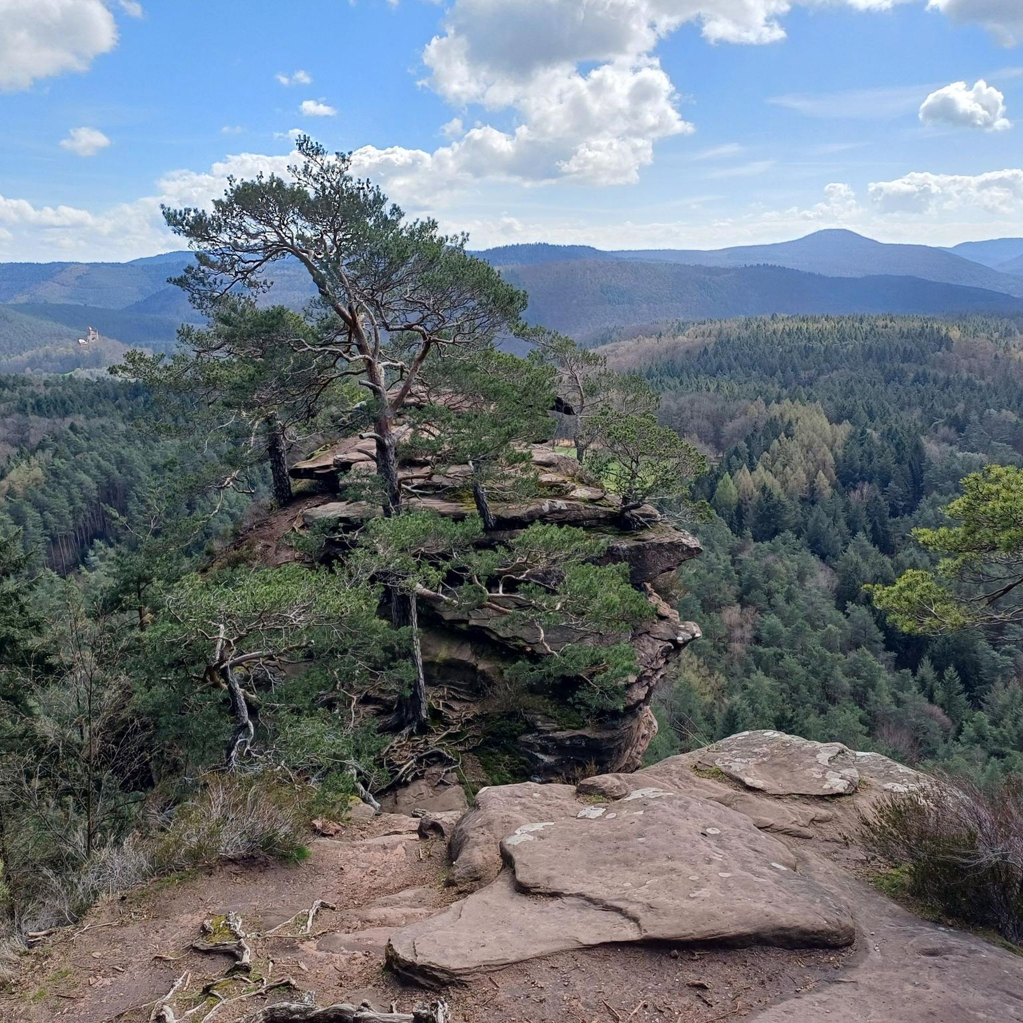
The Rötzenberg near Gossersweiler in the Southern Palatinate district of Weinstraße is a 459.1 m above sea level mountain in the northern Wasgau region of the Palatinate Forest. Numerous red sandstone rock formations are found on it. The Rötzenberg is located in the Palatinate Forest Nature Park, a typical Wasgau conical hill in the northern part of the Dahner Felsenland and the Wasgauer Felsenland. Its summit rises 1.1 km west-southwest of Gossersweiler, the larger district of the municipality of Gossersweiler-Stein, to whose district the mountain belongs. North of the almost entirely forested mountain rises the Triebborn stream, which drains via the Rimbach into the Queich, a tributary of the Rhine. To the south, the Klingbach stream flows directly into the Rhine plain and flows into the Rhine via the Michelsbach. The most important rock formations of the Rötzenberg are the Isselmannsteine on the north side and the imposing Rötzenfels south of the summit, which reaches a considerable height of up to 55 meters. From the rocky plateau, which can be climbed via a hiking trail (Dimbacher Buntsandstein-Höhenweg), there are excellent views to the south over the entire Wasgau region, with the Lindelbrunn ruins in the foreground, as well as to the northeast to the Rehberg, the Ebersberg, the Asselstein, and the Reichsburg Trifels. The Rötzenberg can be reached via marked hiking trails from the east, such as the Staudernheim–Soultz-sous-Forêts long-distance trail from Gossersweiler, from the north from Dimbach, and from the south from Lindelbrunn. It is traversed by the "Dimbacher Buntsandstein-Höhenweg" circular hiking trail, which was certified as a premium trail by the German Hiking Institute and inaugurated in 2013. Source: https://de.wikipedia.org/wiki/R%C3%B6tzenberg
0
0
보더바이덴탈 주변에서 가장 인기 있는 명소


더 살펴보기
다른 지역의 최고의 하이킹를 살펴보세요.
